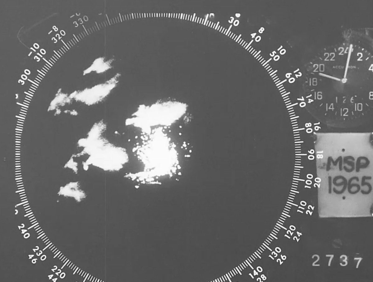
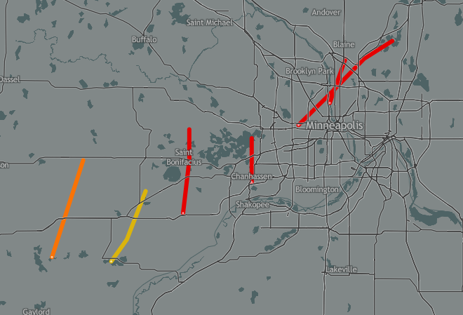
On this day in 1965, a cluster of supercells would devastate the Twin Cities Metro. This outbreak produced four Violent F4 Tornadoes, leaving behind a path of destruction in towns such as Fridley, MN, this event remains as one of the worst disasters in MN history #mnwx#wxtwitter
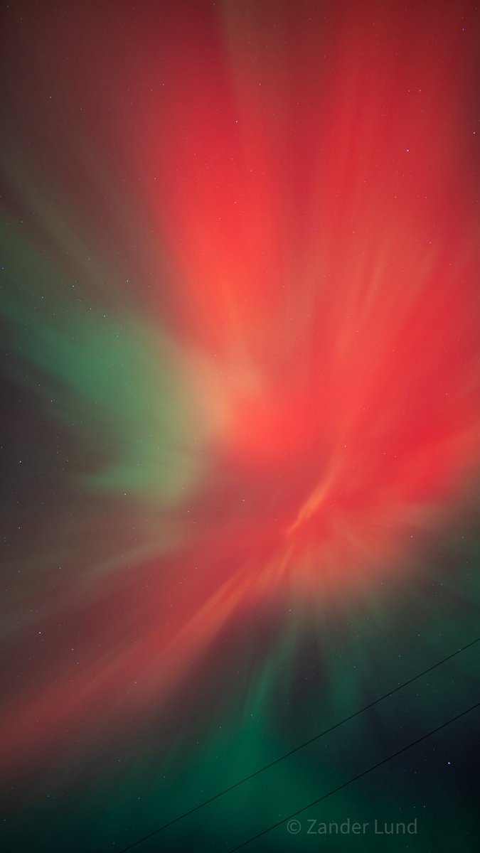
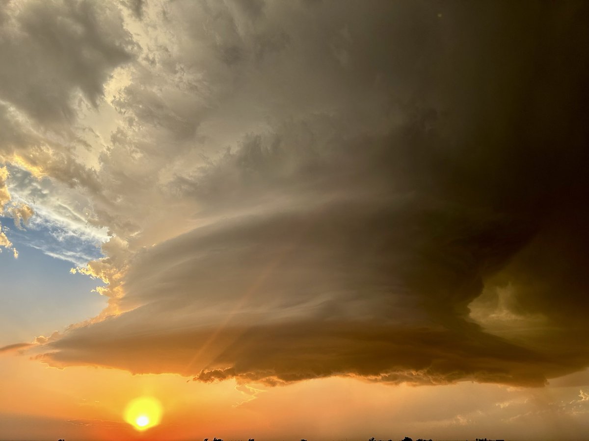
One word to describe it: Peak.
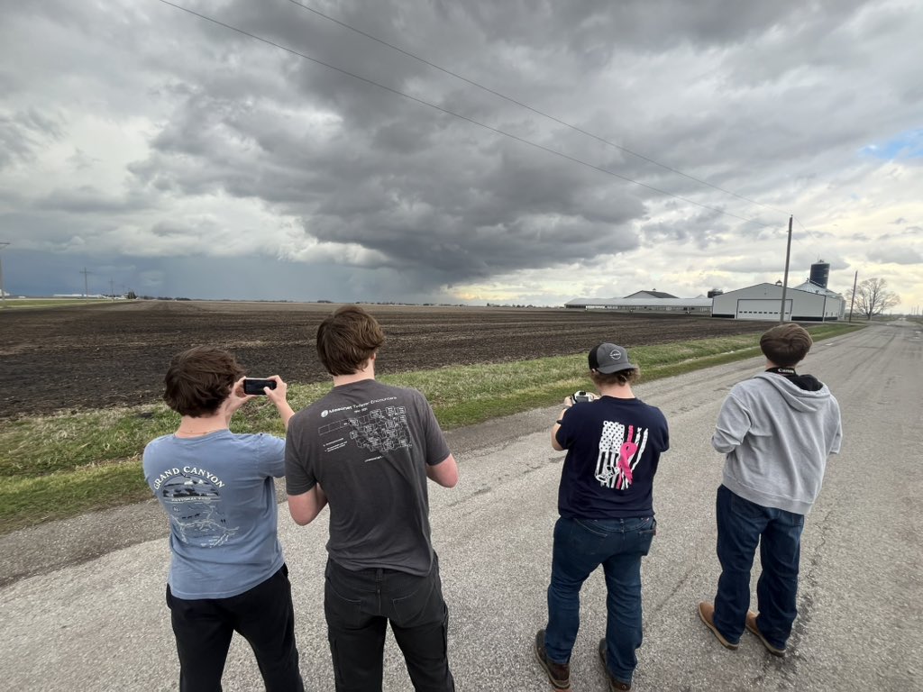
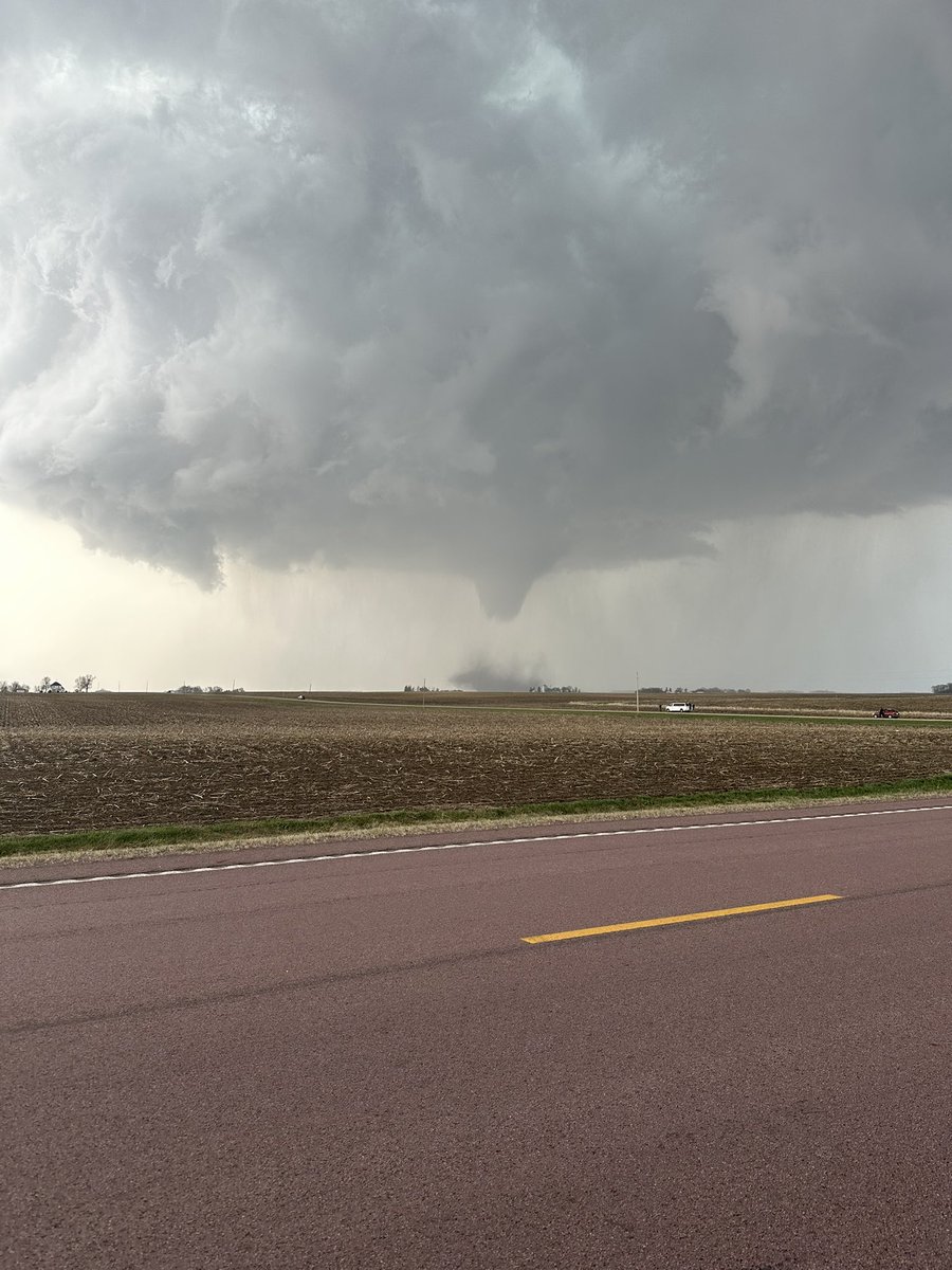
Best spinning cloud I've had the chance to witness. Great chase with my partners @Jonash1717@Chase_RobWX and @CalebIsChasin! Brilliant, tall tube in little precipitation. Not much more to ask for!
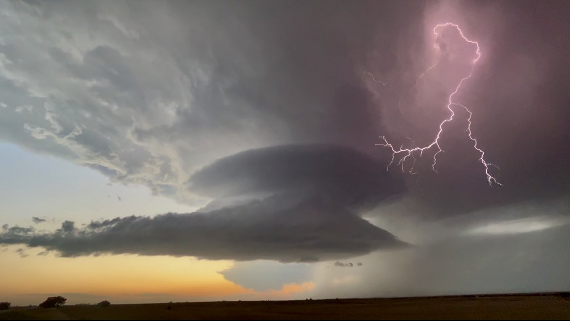
📍5mi NE Truman, MN
⏰ 6:32 P.M. 13 April 2026
Live update targeting a strong #tornado threat along warm front near Iowa/Minnesota border this late afternoon amd evening! We are in the Dominator 3!
#stormchasing#dominator
The 12Z HRRR run does paint a concerning picture for Minnesota, including the Minneapolis metro.
Beyond a tornado threat, hail bigger than baseballs will be a concern with any established supercells. Dry air aloft, PWATs near 1.2" and steep mid-level lapse rates. MUMBO risk.
To say the thermodynamic environment over MN Monday is insane, is an understatement.
I almost suspect convection will fire here, with the HRRR likely soon initiating convection..
my first storm chase yesterday 04/02 storms started firing around 1 pm in south western Iowa @Beanrock1241 saw a single cell with energy all to its self and stuck with it. Although i didn’t get to see a fully condensed tornado I did get to see @ReedTimmerUSA and his dominater 3