Expect lowering dew points tonight and dry, pleasant weather to persist through Friday. Humidity and slight shower/storm chances return on Saturday. #wiwx
Who’s ready for a taste of fall?!
Below normal temps are slightly favored during the middle of September. Average temps during this stretch are typically in the low 70s.
Rain will spread over the area tonight with the best chances and highest rain totals over southwest Wisconsin. Rain totals will generally decrease with northern extent away from the WI/IL border. Rain then ends by noon tomorrow with a dry afternoon and decreasing clouds. #wiwx
12:48pm Tue. 9/8: It's BREW CREW TUESDAY on FOX6! We have some rain showers moving in. Hoping to dry out just in time for tailgating. More rain on the way overnight, but no severe weather is expected. I'm heading down to the Yount lot, so please come and say hi this afternoon/early evening if you are going to the game!
Areas of dense fog have formed over Sauk County and the adjacent WI River Valley. A Dense Fog Advisory is in effect until 9 AM this morning. #wiwx#swiwx
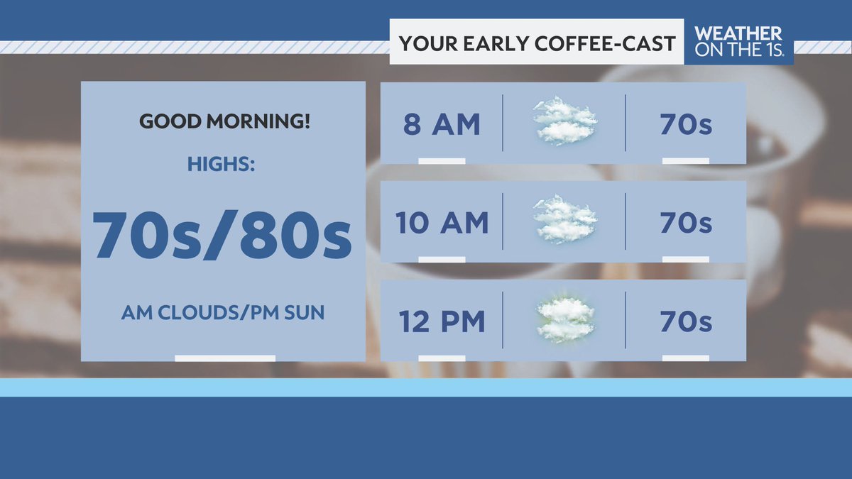
Along with areas of dense fog, we'll also stay pretty cloudy throughout the rest of the morning. Fortunately, more sunshine will mix in for the afternoon. #WIwx
Storms developing in SW WI will progress southeastward through the remainder of far southern Wisconsin this afternoon into this evening. Damaging winds and large hail are the main hazards of concern. An isolated tornado is unlikely, but cannot be ruled out. #swiwx#wiwx
A line of storms is currently tracking southeastward through portions of east-central WI. Main concerns are localized heavy rainfall and lightning. #wiwx#swiwx
Strong storms will move into northern counties between 9-10:30. Gusty winds and small hail are possible as the storms move in. While not severe at the moment, storms could strengthen. Move indoors if these storms approach your area. #swiwx
Isolated to scattered storms are possible this evening into tonight, then a line of decaying severe storms moves SE late tonight into early Fri. Damaging winds are the main threat, but hail/a tornado can't be ruled out. Storms will transition to heavy rain Fri AM. #wiwx#swiwx
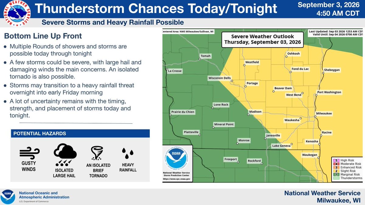
Showers and storms are possible at times today through tonight. A few storms could be severe, with large hail and damaging winds the main concerns. An isolated tornado is also possible. Storms may transition to a heavy rainfall threat tonight into early Friday. #wiwx
A line of strong to severe storms are expected Thu night. Damaging winds are the main hazard, especially over south central WI. There is a low potential for tornadoes. Locally heavy rainfall/urban and small stream flooding are possible. Keep up with the forecast! #swiwx#wiwx
Welcome back to campus everyone! If you're not aware, noon on Wednesday means it's time to test the outdoor warning sirens!
🎶woowooWooWooWOOWOOWooWoowoowooWooWooWOOWOOWooWoowoowoo🎶
Hot and humid conditions again today, particularly in the south towards the Illinois border where heat indices may reach 100. Isolated to scattered storms will be possible this afternoon and evening. A few stronger storms are possible with small hail and gusty winds. #wiwx
This humidity is ridiculous. 🥵
So why are dew points in the 70s in early September? It’s actually a combination of Gulf moisture, a stalled front pooling that moisture, and even a little “corn sweat.” 🌽💧
Here’s the science behind what’s making it feel like a sauna:
https://t.co/WEgy9iVaK8
A west to east broken line of showers and isolated storms will move east across far southern WI for the middle afternoon. Lightning strikes will remain infrequent and brief heavy rain is expected. #swiwx#wiwx