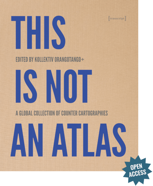
Read the introduction of „This is not an atlas“ - the collection of dozens of maps from the realm of „critical cartography“ will be published in a few days https://t.co/schAz4npT5 #mapping#openaccess
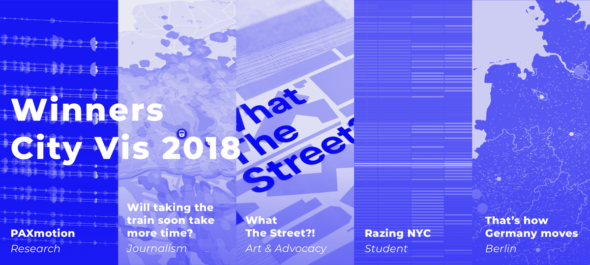
We are happy to announce the winners of this year's #cityvis competition. Join us Monday night 7pm for the vernissage of our exhibition of all winners and shortlisted works. https://t.co/WiY8kOAsc3 Congratulations to all winners: @tillnm@SPIEGELONLINE @moovelLab @TelefonicaNEXT
Read the introduction of „This is not an atlas“ - the collection of dozens of maps from the realm of „critical cartography“ will be published in a few days https://t.co/schAz4npT5 #mapping#openaccess
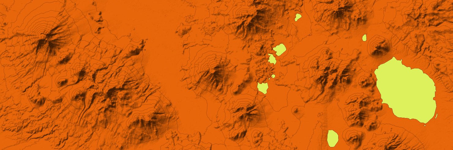
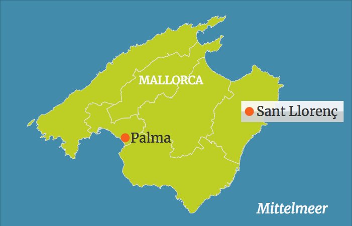
Hallo @tagesschau - wir finden, Karten helfen oft, Nachrichten besser zu erfassen. Deshalb haben wir für Eure Meldung zu #Mallorca schnell eine Karte mit unserem Tool https://t.co/w528jxp098 gebaut – probiert es doch mal aus! https://t.co/ryFrkTV6L1
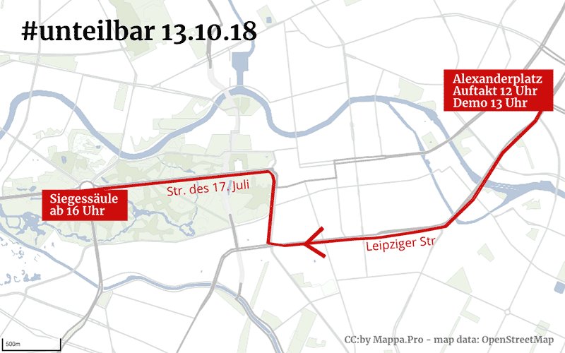
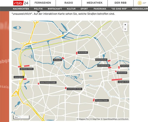
Tolles Tool: Mit dem Karteneditor https://t.co/K6PNKZXRyJ kann man einfach Karten mit eigenen Stilen erstellen, die sich als PNG, SVG und eingebettet veroffentlichen lassen, das Ganze basiert auf #OpenStreetMap:
Our map editor is now available to anyone: Edit maps with your style and publish them as PNG, SVG or embed it. Create an account for free: https://t.co/w528jxp098 - based on #OpenStreetMap data
@nichtich Outlines can’t be disabled right now; you have to put them on 0% transparency/alpha (but the feature is coming); live updating of colors should work - or we misunderstand you. Please provide a screenshot etc.
@ColmBritton Thanks for your feedback; yes, we’re working on an update; you will be then able to make an account (Freemium model) and export SVG; in about 4-6 weeks