Mapping for Resilience Initiative Uganda (MapRI). Mapping for Sustainability. Geospatial data for sustainable development. Company limited by guarantee.
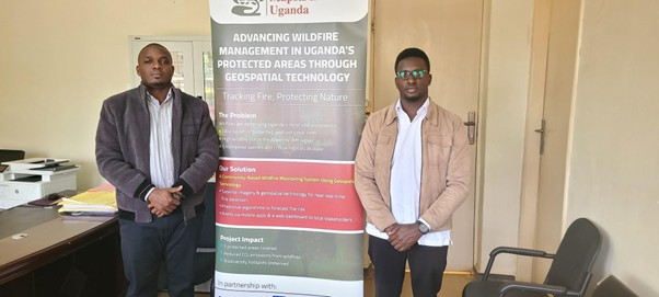
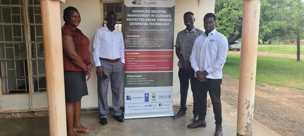
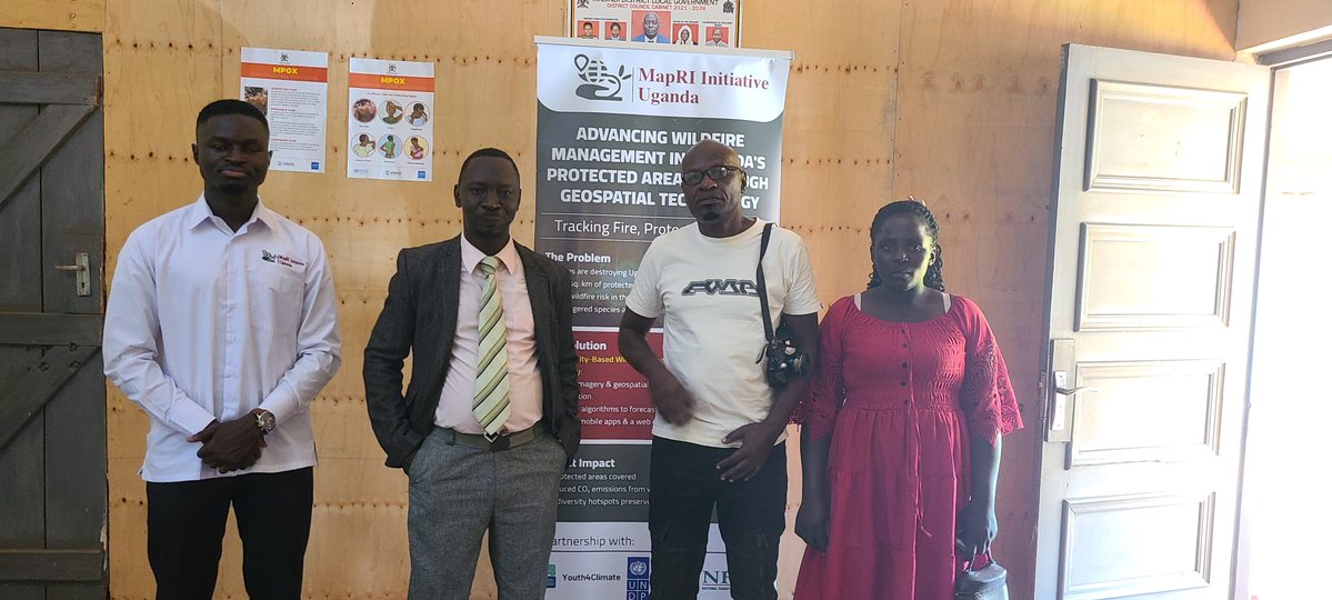
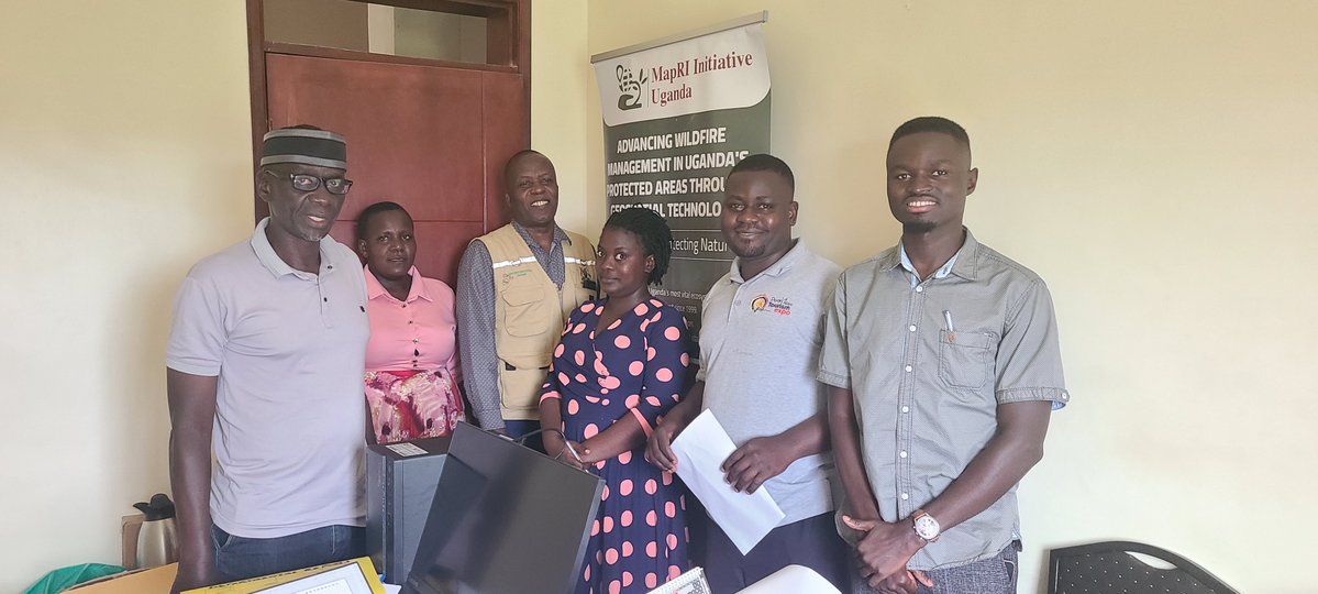
We are excited to kick off the Advancing Wildfire Management in Uganda’s Protected Areas through Geospatial Technology project, in partnership with the UNDP Youth4Climate initiative.
By joining digital tools with community action, we aim to see a 40% reduction in wildfires to protect our natural habitats and the future of our home.
@Y4Cofficial@UNDP_RomeCentre
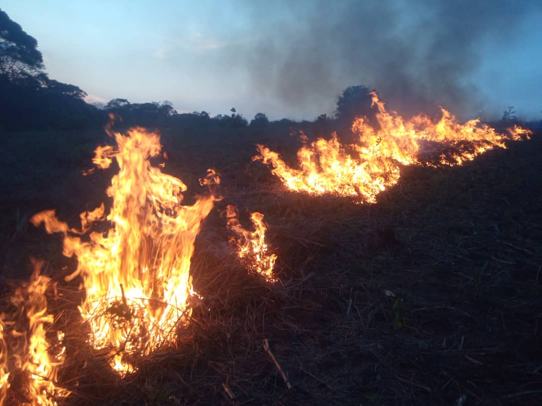
How do you stop a wildfire before it starts?
For a long time, detecting a blaze relied almost entirely on someone seeing smoke and reporting it, but by then the fire was often too big to stop.
However, we know that technology works best when it has a human touch. This is why we are training local youth and women to be on-ground fire monitors who use their mobile phones to share live updates directly from the field to the Firelens system.
In Kikuube, a major challenge is the influx of refugees into the Kyangwali Refugee settlement. This has increased pressure on Bugoma Central Forest Reserve and Kabwooya Wildlife Reserve, thus raising the likelihood of wildfires, particularly during hunting activities.
When forests burn, so does the money for schools and hospitals, leaving the local economy in a tough spot. Protecting nature isn't just about the environment; it's about supporting our communities and making sure schools, hospitals, and the local economy can keep running.
he stakes of our work became very real when we heard the story of a woman who lost her life to a wildfire that became unmanageable. Stories like this move our mission from the world of technology into the world of human life.
@Y4Cofficial@UNDP_RomeCentre
During the visit to the districts, we discovered something that changed our entire approach while we were in Masindi.
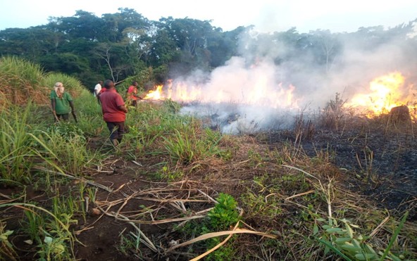
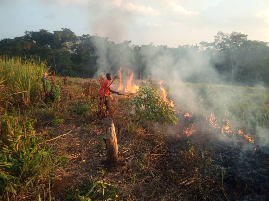
Roughly 70% of wildfires actually start on community lands, especially near sugarcane plantations.
This was a massive eye-opener for us. It meant that our work cannot stop at the park gates; we have to work with the farmers and the people living nearby to truly save our forests. T
This was a massive eye-opener for us. It meant that our work cannot stop at the park gates; we have to work with the farmers and the people living nearby to truly save our forests.
...to listen to the people who live on the front lines of these fires. We wanted to understand their reality because technology alone is not the answer.
@Y4Cofficial@UNDP_RomeCentre
We took our ideas from the office directly into the field within the Albertine Graben.
Our target areas included: Budongo Central Forest Reserve, Bugoma Central Forest Reserve, Kabwooya Wildlife Reserve, Murchison Falls National Park and Kibaale National Park.
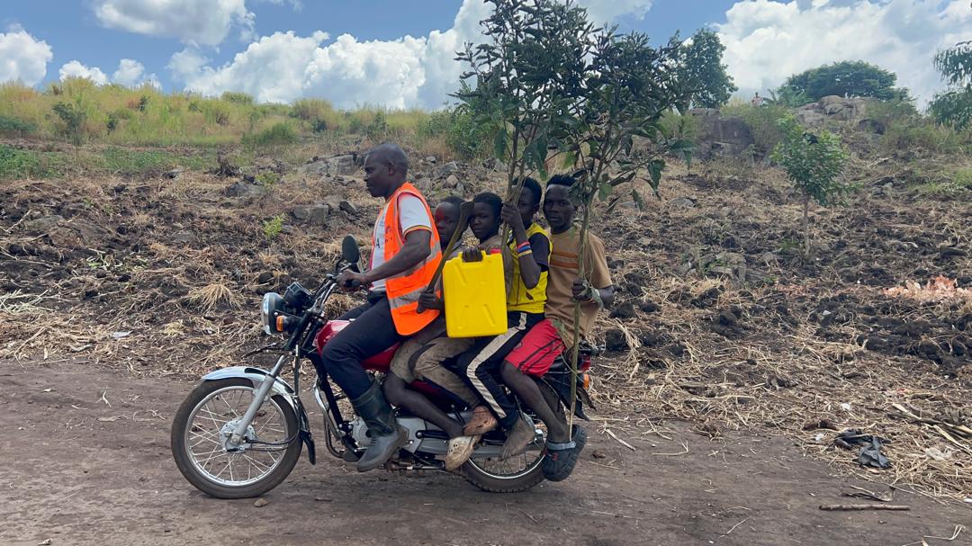
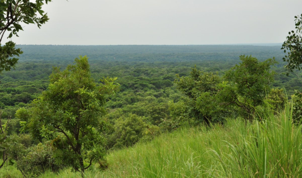
This region is home to incredible life, but the dry grass reminded us how quickly a small flame could turn into a tragedy. Our team at MapRI travelled through five districts of Buliisa, Masindi, Hoima, Kikuube and Kabarole...
We finally understood that planting trees is only half the battle; we also have to act as the shield that protects them. This is why we started our mission to safeguard our biodiversity for the generations to come.
@UNDP_RomeCentre@Y4Cofficial
Thousands of trees have been planted across Uganda over several years. It was a hopeful effort until we realized that every dry season, our hard work was being swallowed by wildfires. It felt like a punch to the gut.
🌍 Celebrating a Remarkable Milestone! 🏆
We are thrilled to share that our Team Lead at @MapRI_ug , @MichaelJurua, has been honoured with the GEO Emerging Leader Award in Rome, Italy🎉.
At MapRI, we believe that local action backed by science and community engagement can spark global transformation. This award is a testament to that belief and to the dedication, vision, and leadership of our ED.