Our institute is looking for a candidate with a background and interest in the areas of #computervision, #webdevelopment, and #GIS for our NRW StartUpTransfer project “SmartLandMaps 2.0”.
Application deadline: April 7, 2022.
https://t.co/DAJAilhAzb
#startup@maps_land
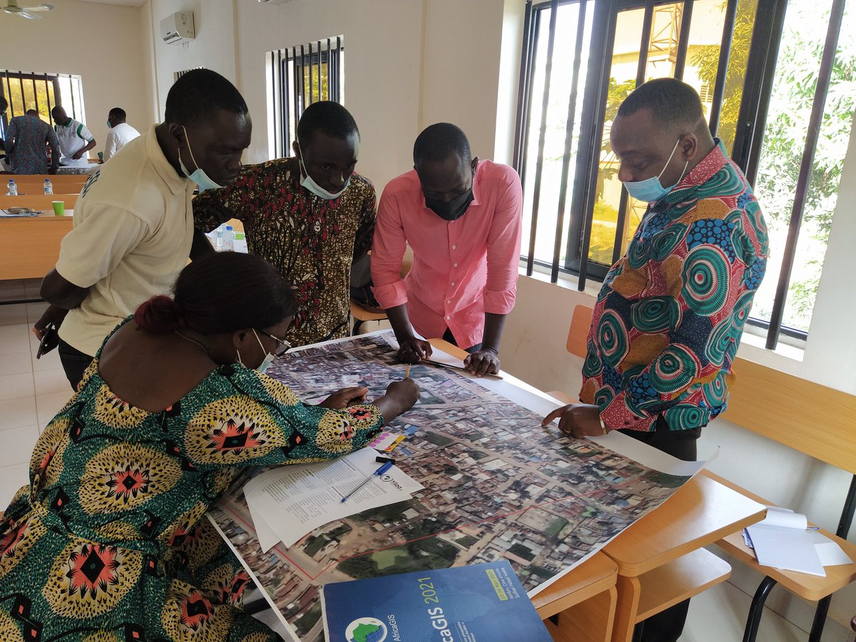
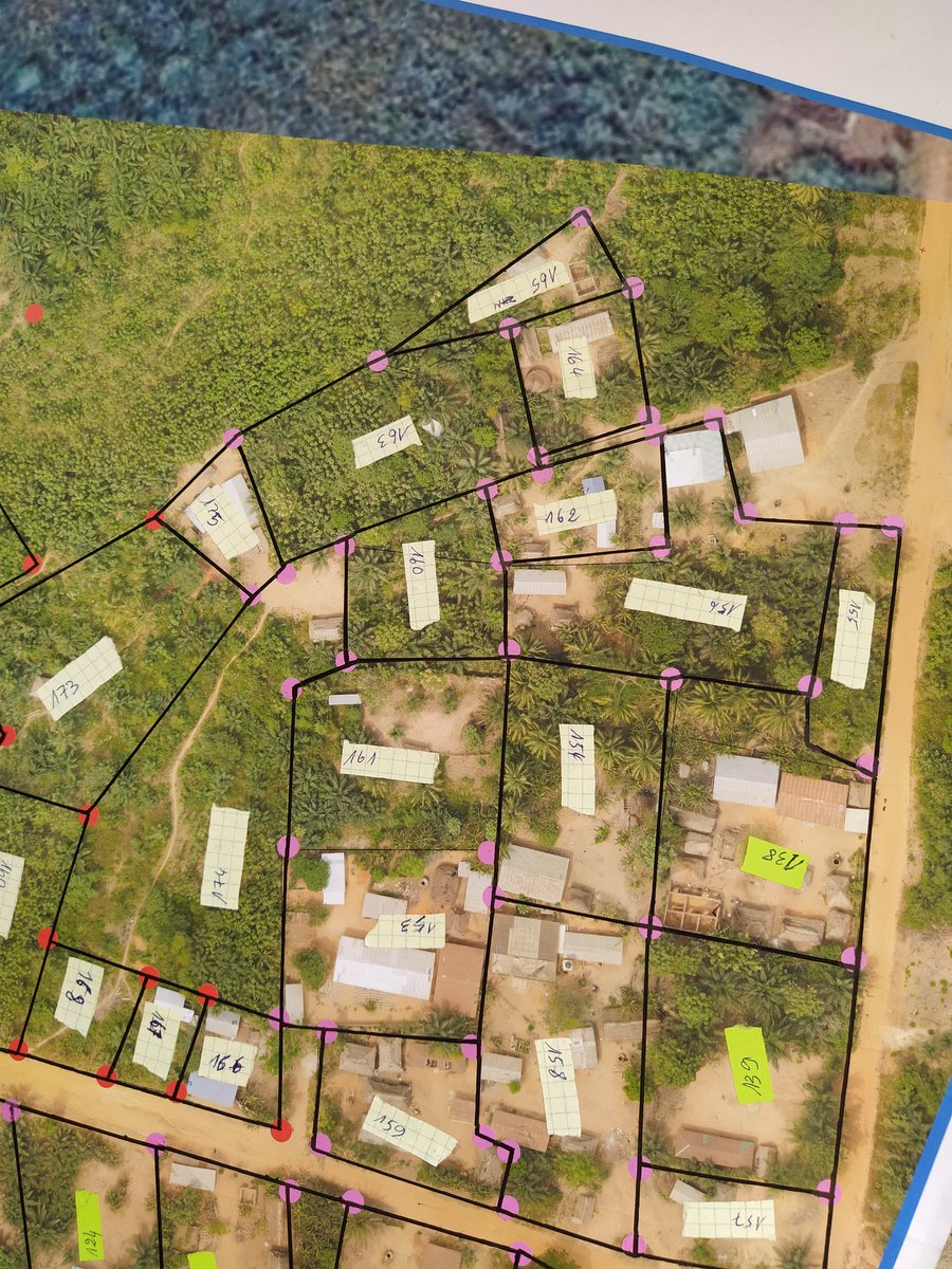
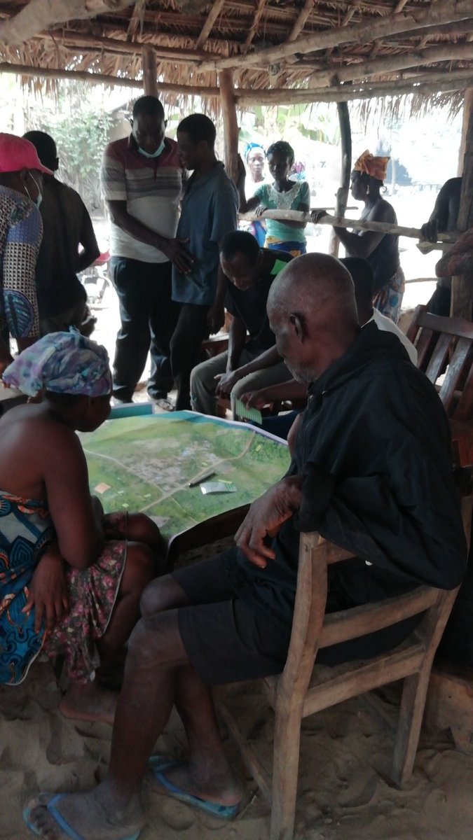
The map drawn today by the community of Houègoudu (Commune de Zè, Benin) enters the @maps_land digitization and vectorization process. Many thanks to all involved
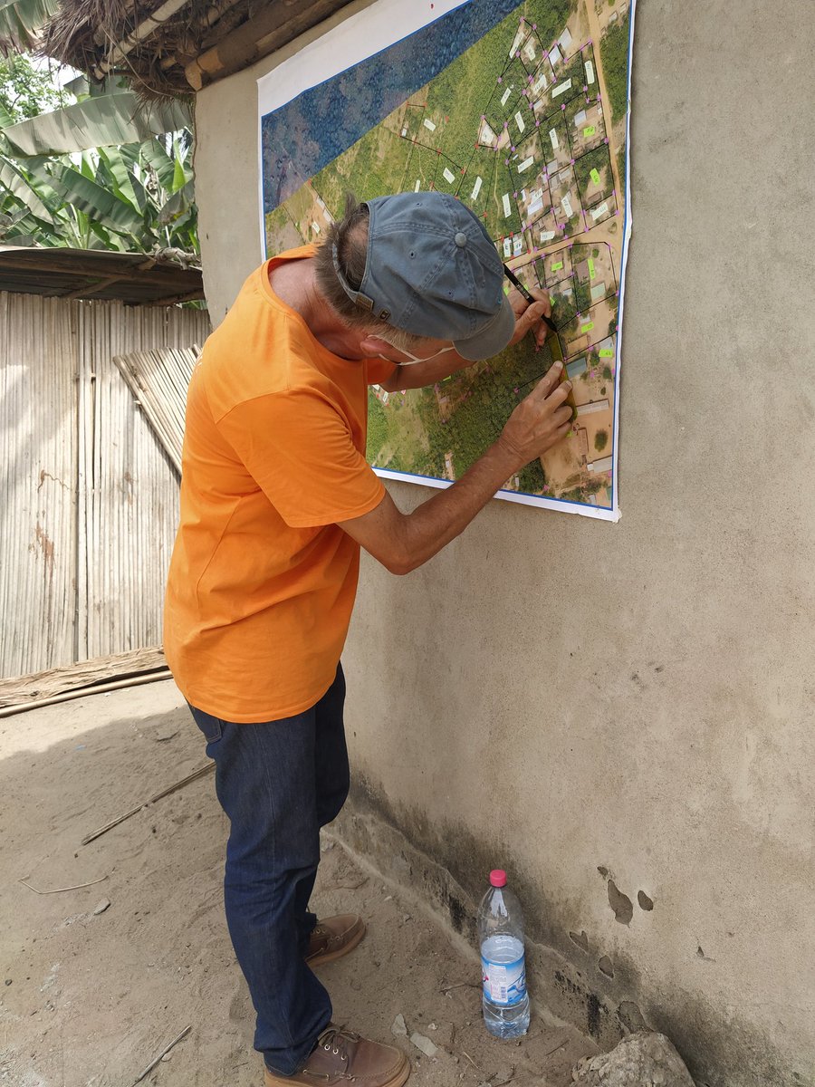
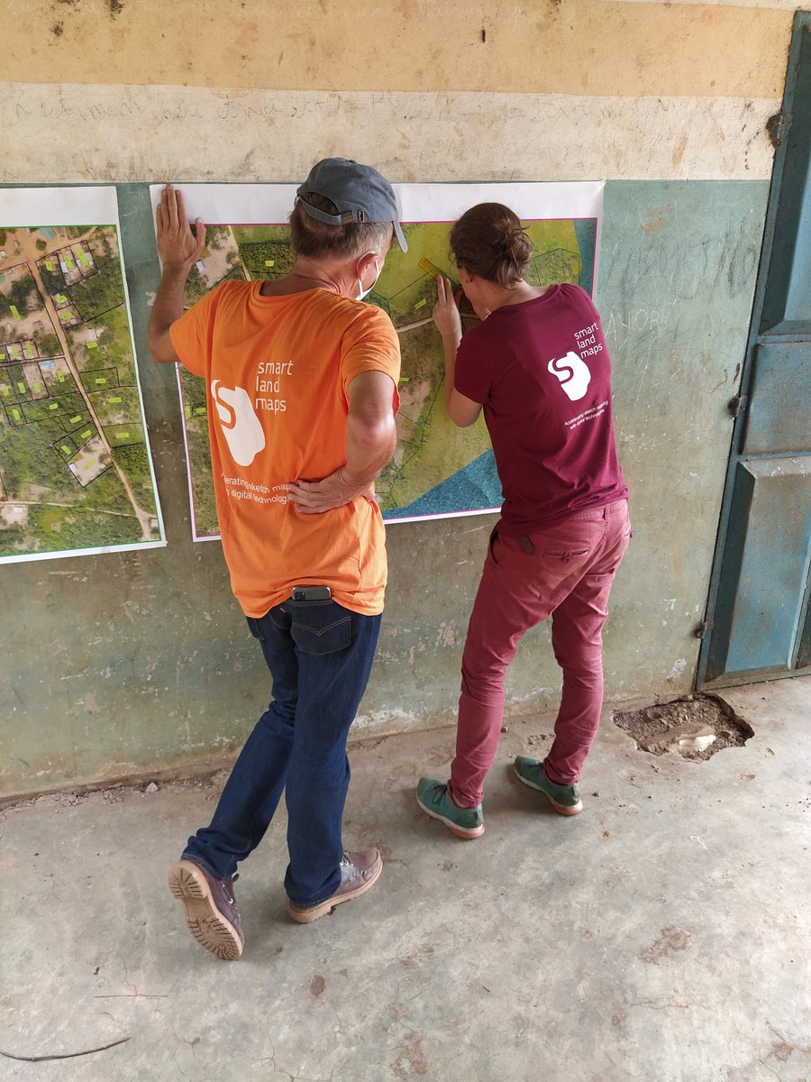
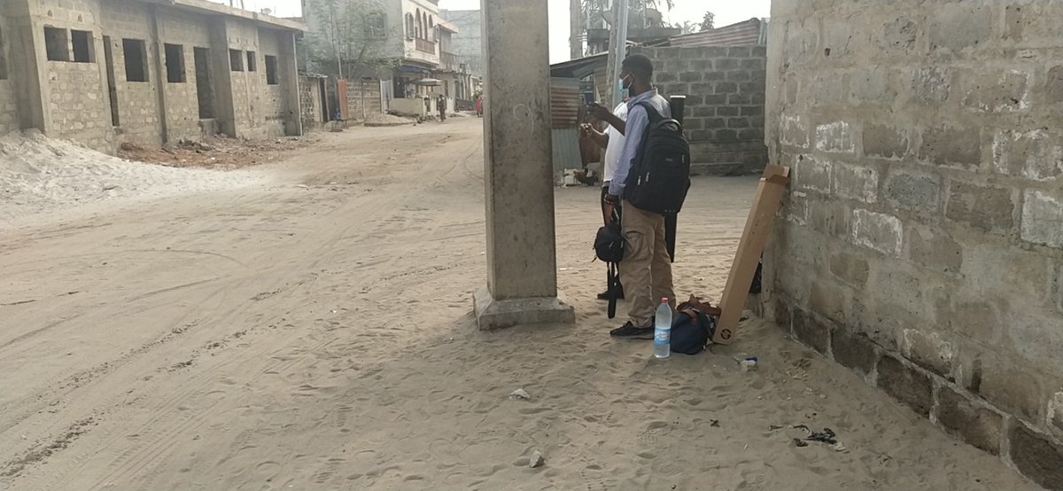
Continuing our work in the rural area of Ze, north of Abomey Calavi. So amazing to see that even without a lot of visible boundaries, the community can easily trace the limits of their land plots.
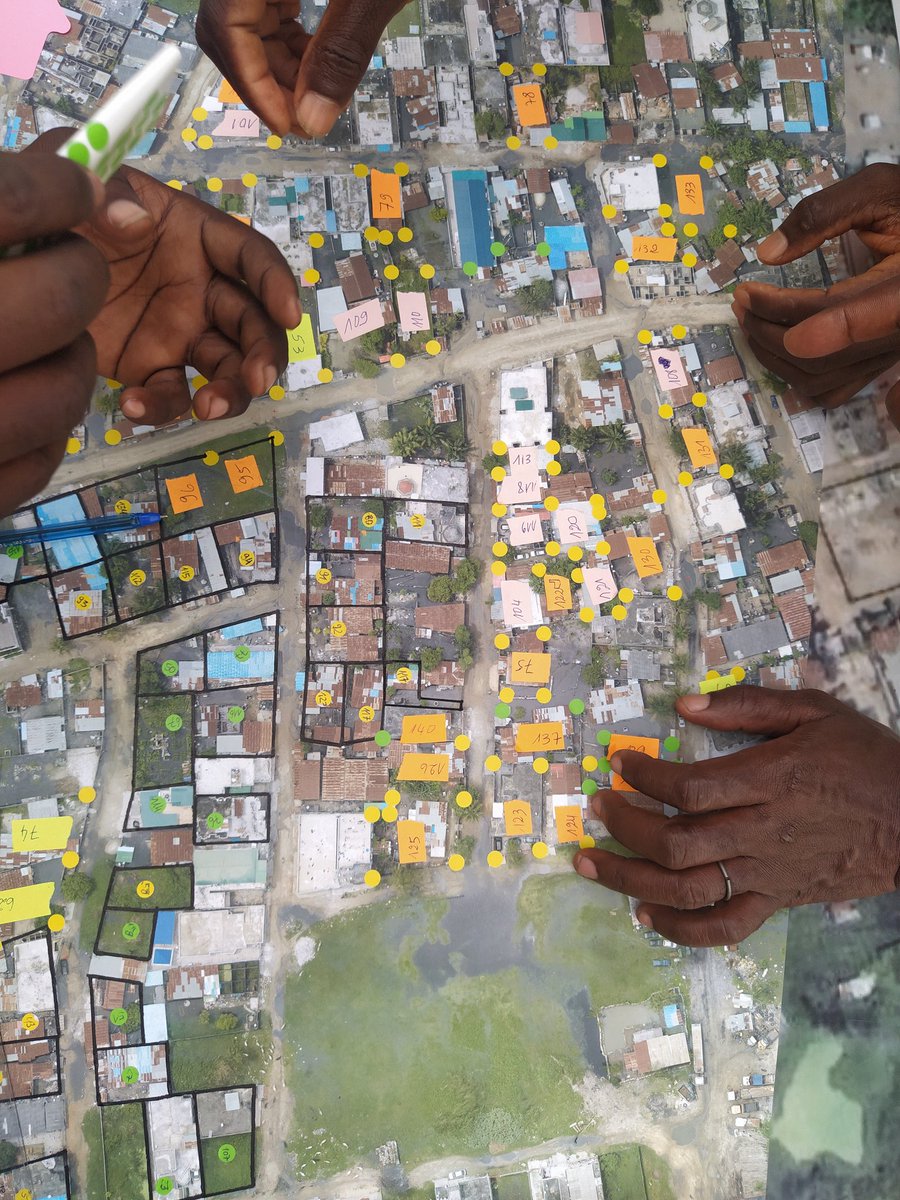
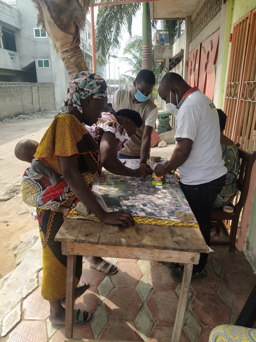
Day one: In Benin, we carried out participatory mapping with @maps_land and the sème-podji community. Secure land rights pave the basis for community mapping that is inclusive and participatory.
@CadastaOrg
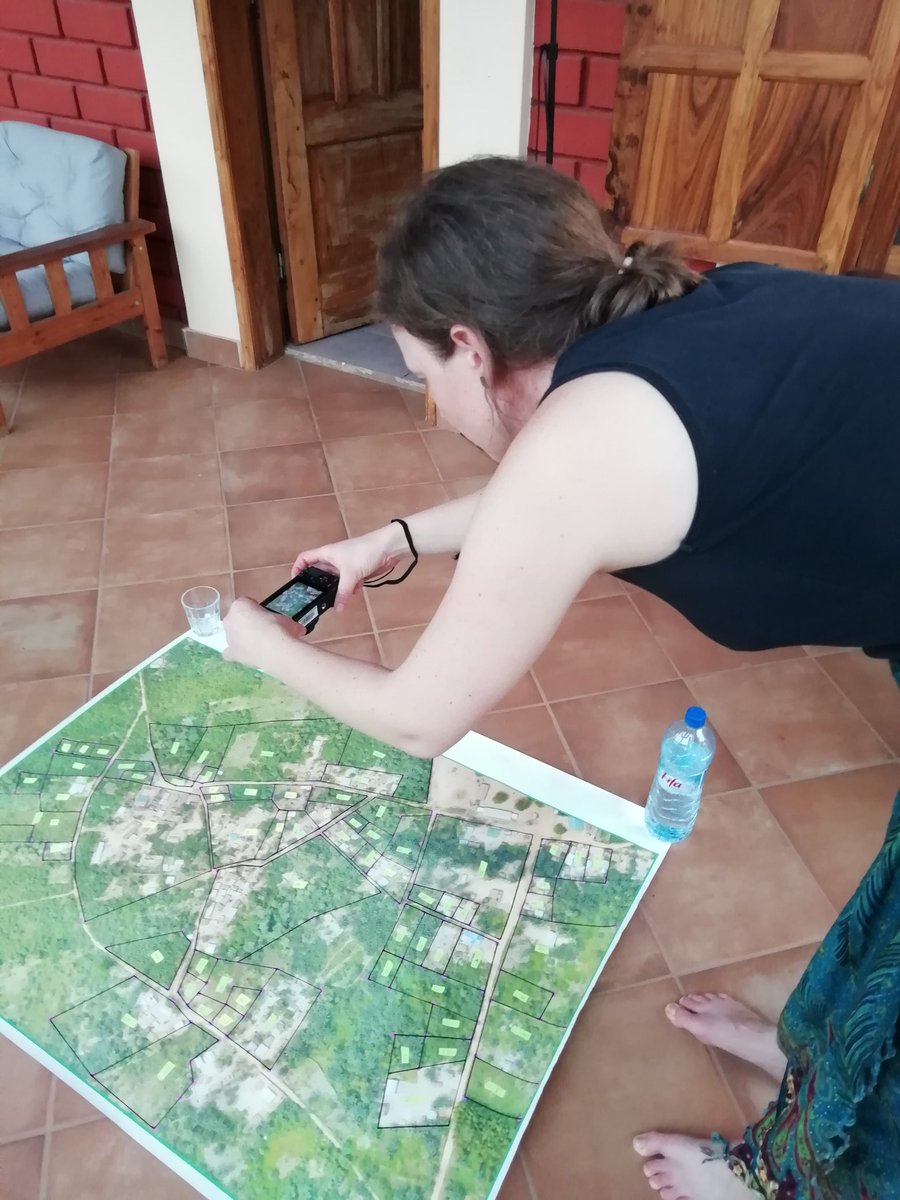
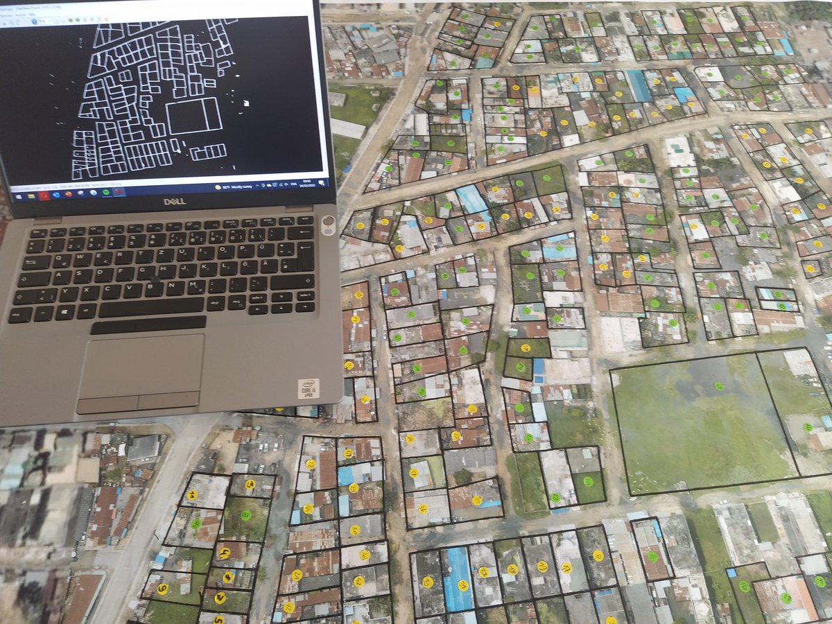
The first step is to act like a #drone and "fly" with the digital camera over the map. Afterwards the lines drawn on the map can be automatically extracted with the superior code of @aurioldegbelo. @pix4d#photogrammetry
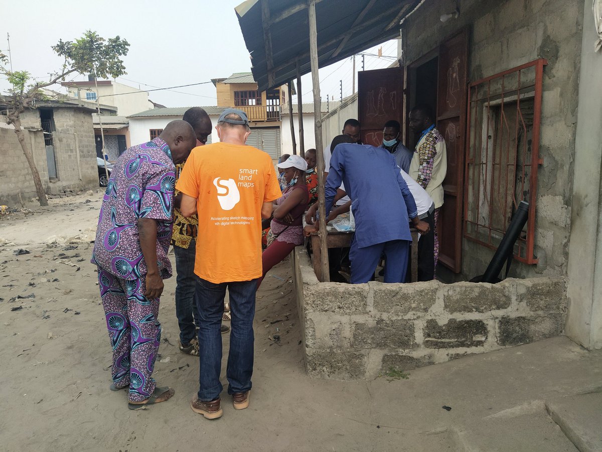
Yes, we made it - mapping more than 200 parcels in 4 days. A big thanks goes to the great support of @EPOosterbroek@youth_yilaa and to our local team in Seme Podji! And of course to all community members who joined our mapping session. #community#ProudMoment#landrights
Thank you for making this point @KarolBoudreaux#landinnovation
"Technology can be a part of the process [increasing access to land] but it is not the solution"