Maps by Sagar is a blog where I put all my hand-made maps and write some cool info about it. All maps are hand-sketched and made with a lot of passion and love.
Hi. I would like to speak to someone from the technical team. My work website (built on wordpress forum) suddenly crashed and I am unable to recover it. Kindly help. Thanks ! @wordpressdotcom
https://t.co/uQkWFuNbws
Ever wondered how the Portuguese couldn't expand their dominions on the Indian soil? They were the first to arrive and the last to leave from the subcontinent and even with the supremacy over Indian waters, they were defeated by the Dutch and the English
- the latter who were far more inferior (as compared to the Portuguese) in both navy and army during the 16th-17th centuries. And it all started in the Vijayangara Empire - the south Indian stronghold that flipped the destiny of the Portuguese ambitions forever, cornering them to
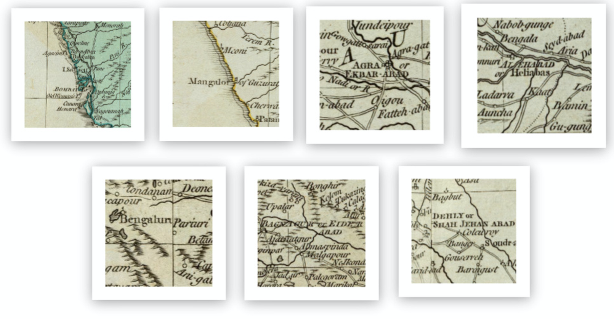
Hyderabad as Bagnagur (Bhagyanagar) or Eiderabad and Delhi as Dehly or Shahjehanabad. It's interesting to see how names evolved through ages.
For more such cool info, follow up https://t.co/w6WyaKM8qq
#maps#IndianMaps#IndianHistory#history#mapmaking#cartography#India
Made a snapshot of some of the place names from a 1768 map of India by Robert Sayer. One can see Bandora (Bandra) north of Bassein (Vasai), Mangrol written as Mangalor (in Gujarat), Agra as Ekbarabad (Akbarabad), Allahabad as Heliabas, Bangalore as Bengaluru
https://t.co/w6WyaKM8qq
So here's my blog where I have uploaded plenty of hand-sketched maps. The images are locked for safety reasons, kindly DM me for a high-res version. Happy mapping everyone. :)
#Maps#mapmaking#history#cartography#blogging#India#indianblogger