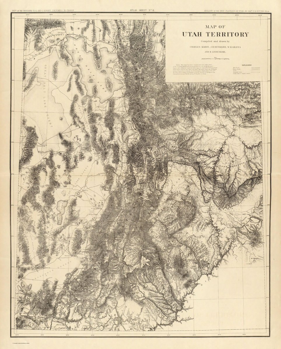
Step back in time with this historical map of the Utah Territory! Compiled & drawn by Charles Mahon, J.H. Renshawe, W.H. Graves, & H.L. Heintzelman, this intricate map highlights the rugged topography, mountain ranges, & early geographic details of Utah long before statehood.
Data-driven decisions start with great spatial data! Whether you need to spatial-enable non-spatial datasets, maintain real-time accessibility, automate workflows using open-source tools, or publish authoritative datasets to the SGID, we have you covered: https://t.co/7xsPLtKkh2
Considering a major or career in GIS? Steering toward Remote Sensing & Photogrammetry lets you turn satellite, drone, and LiDAR data into real-world solutions. Analyze climate trends and disaster zones from above—and take your GIS degree to new heights!
Want to leverage spatial data for better decisions? At UGRC, we share strategic insights on how your organization can integrate GIS into your everyday workflows. Learn how: https://t.co/V4qCuD6eCT
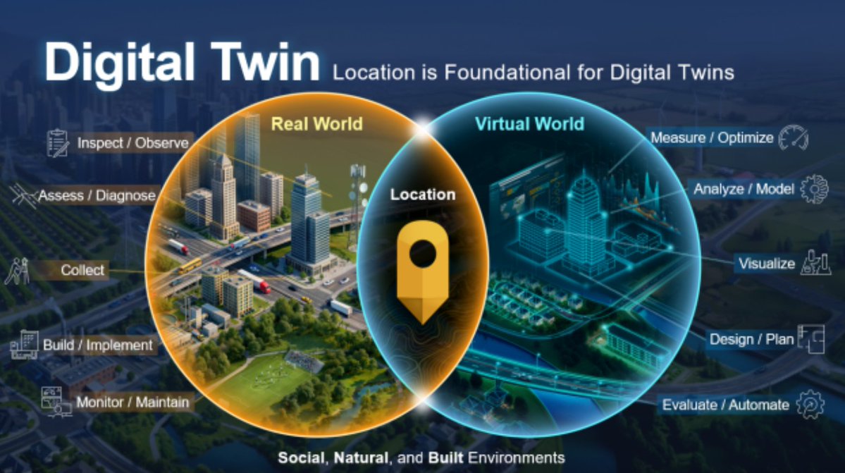
Transforming public assets into virtual replicas! Discover how local & state governments use GIS & digital twins for predictive maintenance & smarter decisions: https://t.co/PiOrSHlMO6
Bold ideas deserve bold storytelling 📍The 2026 ArcGIS StoryMaps Competition is now open! Share your story, showcase the power of GIS, and inspire change through mapping and storytelling. Ready to make an impact? Submit your story today. 🌍 https://t.co/DeidNLDate
UGRC helps state and local agencies integrate GIS into workflows—transforming data into interactive maps and spatial insights. Discover how: https://t.co/zVur6KWJVo
Did you know that GIS isn't just for mapping the Earth's surface? That's right! It's also widely used to map underground utilities, gas lines, sewer networks, and deep mining shafts.
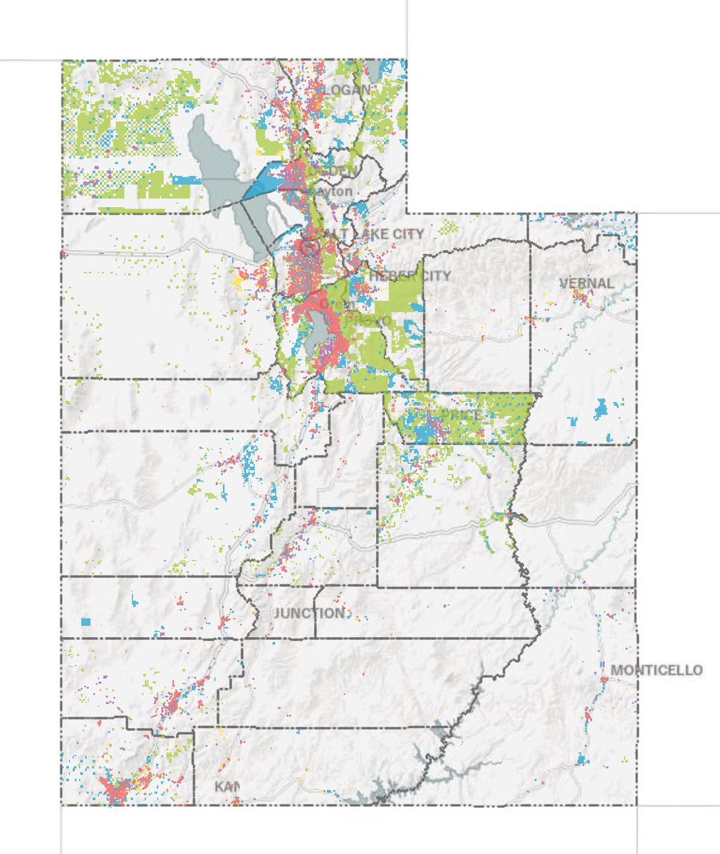
Explore public land data across Utah with the Utah Government Owned Parcels dataset on the SGID! Compiled by UGRC in partnership with local governments, this resource maps out state & county-level public property boundaries.
Check it out: https://t.co/XF9MhdJH2g.
#gis#utah
🌱🌱The SGID is growing🌳🌳
Utah SPCS2022 Low Distortion Zones from NOAA coming soon!
https://t.co/xyLPP8CiuA
Follow along and comment if you are interested!
#utmap#ugrcporter
🌱🌱The SGID is growing🌳🌳
Utah SPCS2022 Primary Zones from NOAA coming soon!
https://t.co/S1YmckWhEq
Follow along and comment if you are interested!
#utmap#ugrcporter
The 2026 Association of Counties Annual Convention is coming up soon! County leaders from all over Utah are heading to Provo to connect, swap ideas, & work together on what's next for our communities.
Where: Utah Valley Convention Center (Provo, UT)
When: September 8–10, 2026
🚒🔥Discover Service Down🔥🚒
Something's up. Read about it on our status page to see if it affects you.
https://t.co/K8SGuHMtDH
#utmap#ugrcstatus#ugrc-update
How do we map the ocean floor from space? Satellites use GIS to track sea surface height changes caused by gravity from underwater mountains!
Learn more: https://t.co/uemE6DIUk9
Explore official, open-access spatial data and digital mapping tools for Utah at https://t.co/PcTysBoLxR — your one-stop shop for reliable data, GIS layers, and geographic resources across the state!
Ever wonder how your fitness tracker maps your exact running route or calculates elevation gain? Your watch logs GPS coordinates, but GIS technology converts those points into interactive maps, elevation profiles, & route heat maps. Location data turns your workout into insight!
Looking to build geospatial tech into your next project? Whether you are building custom applications, geocoding addresses with the UGRC Web API, or integrating authoritative base maps and statewide SGID datasets, UGRC provides the resources to spatially enable your work.