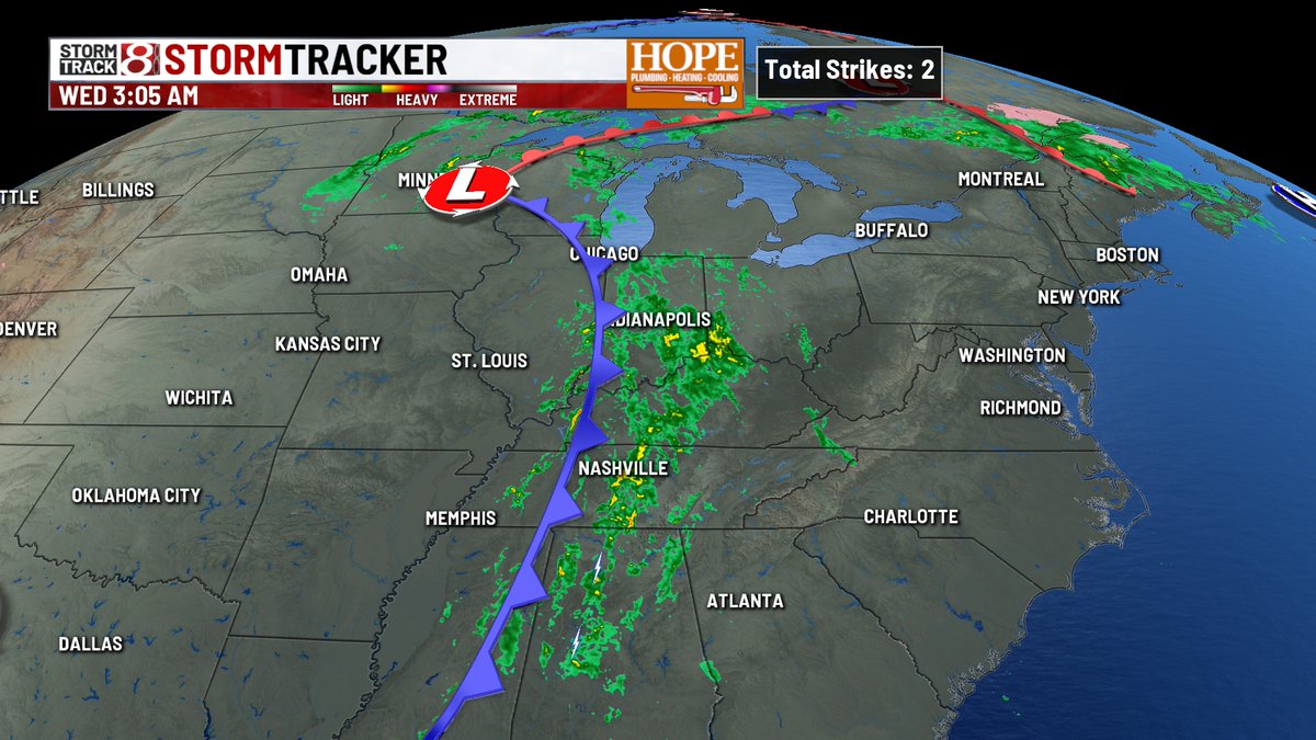
The NWS in Indy has confirmed EF-0 damage in Vigo county from last nights storms. It is the 89 tornado recorded in the state this year - a record.
#INwx
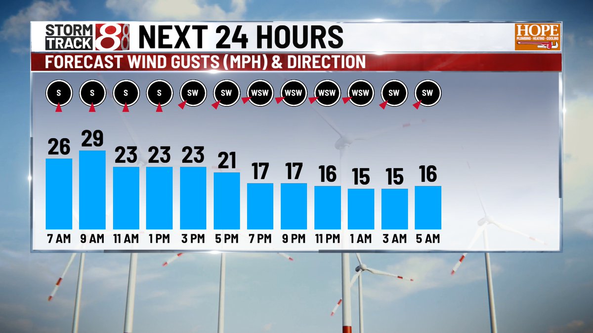
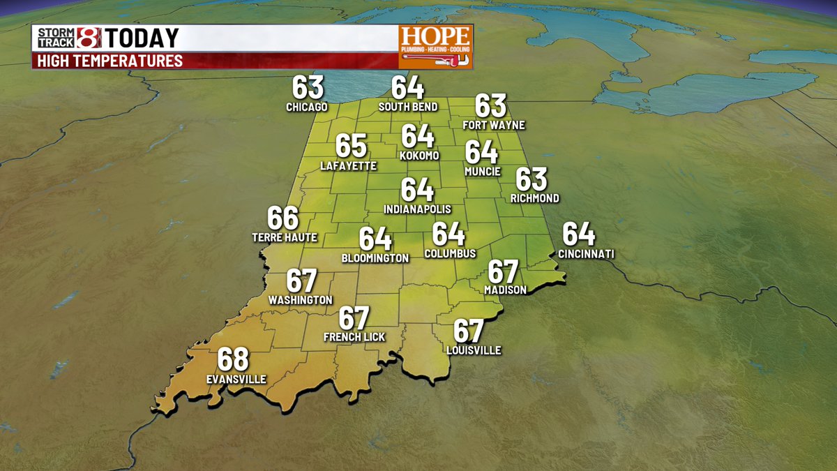
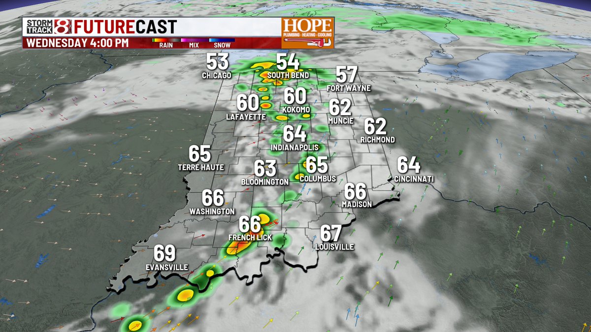
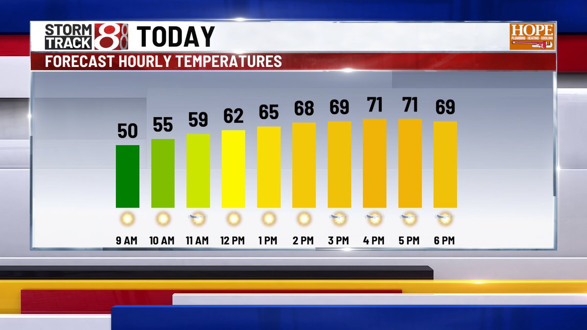
WEDNESDAY - One last mild day before big changes move in. Highs in the mid 60s through this afternoon. Sct'd rain/storms move through the state this afternoon, and a few storms could be severe. Severe window 3pm-9pm across central IN.
#INwx
WEDNESDAY - Big day of change coming our way. A cold front will spark showers and storms across the area for the afternoon - window looks to open from 3pm-8pm across central IN. A few strong storms are possible in southern IN. Damaging winds are the primary concern.
#INwx
TUESDAY - One more really nice day! - temps should max out in the mid/upper 60s this afternoon. A cold front bring rain/storms Wed. evening, and we're still on tap for a few light rain/snow showers possible Fri. morning as colder air surges in late week.
#INwx
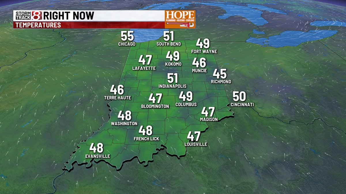
MONDAY - Temps are chilly this morning, but not as cold as the last couple of mornings. Highs will surge to the lower 60s this afternoon with sunshine. Precip chances ramp up mid week - some flurries (!) could mix in late Thurs/Fri?
#INwx
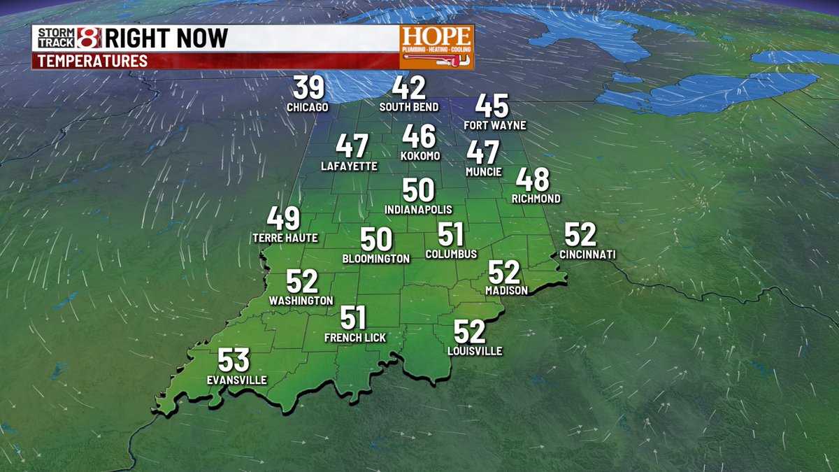
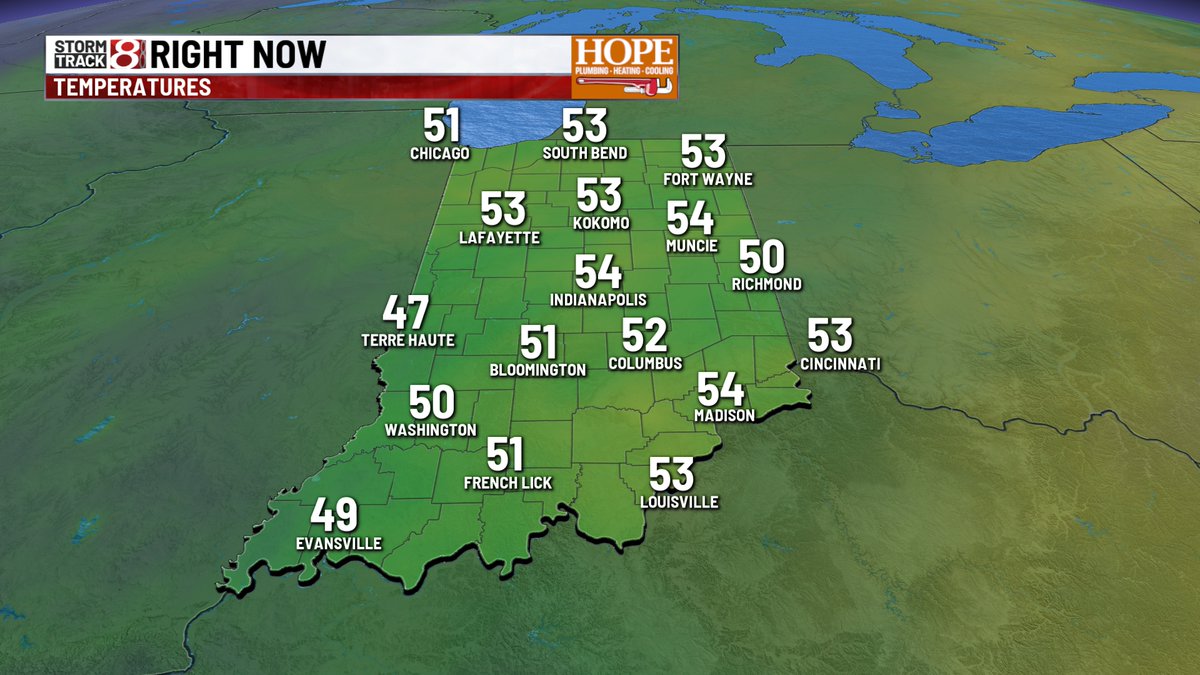
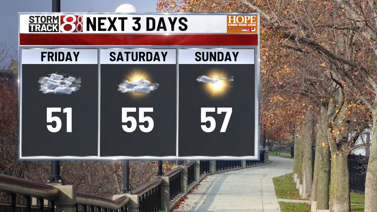
FRIDAY - Gloomy and damp this morning as a boundary sags south across the state. Drizzle should wrap up this morning, and temps will struggle this afternoon - mainly holding steady, hovering around 50° for much of the day.
#INwx
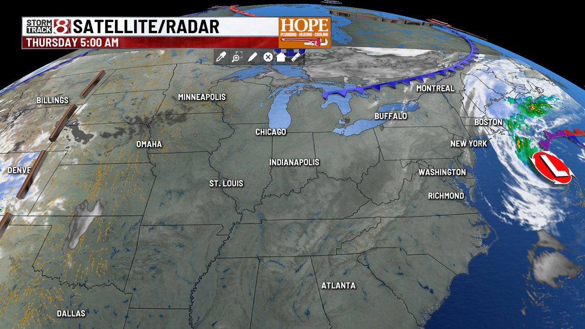
THURSDAY - Feeling a little more like fall today - highs likely don't get above 60° - but we're still above average for early Nov. Spotty rain tonight along a cold front will bring another shot of chilly air Friday and into this weekend.
#INwx
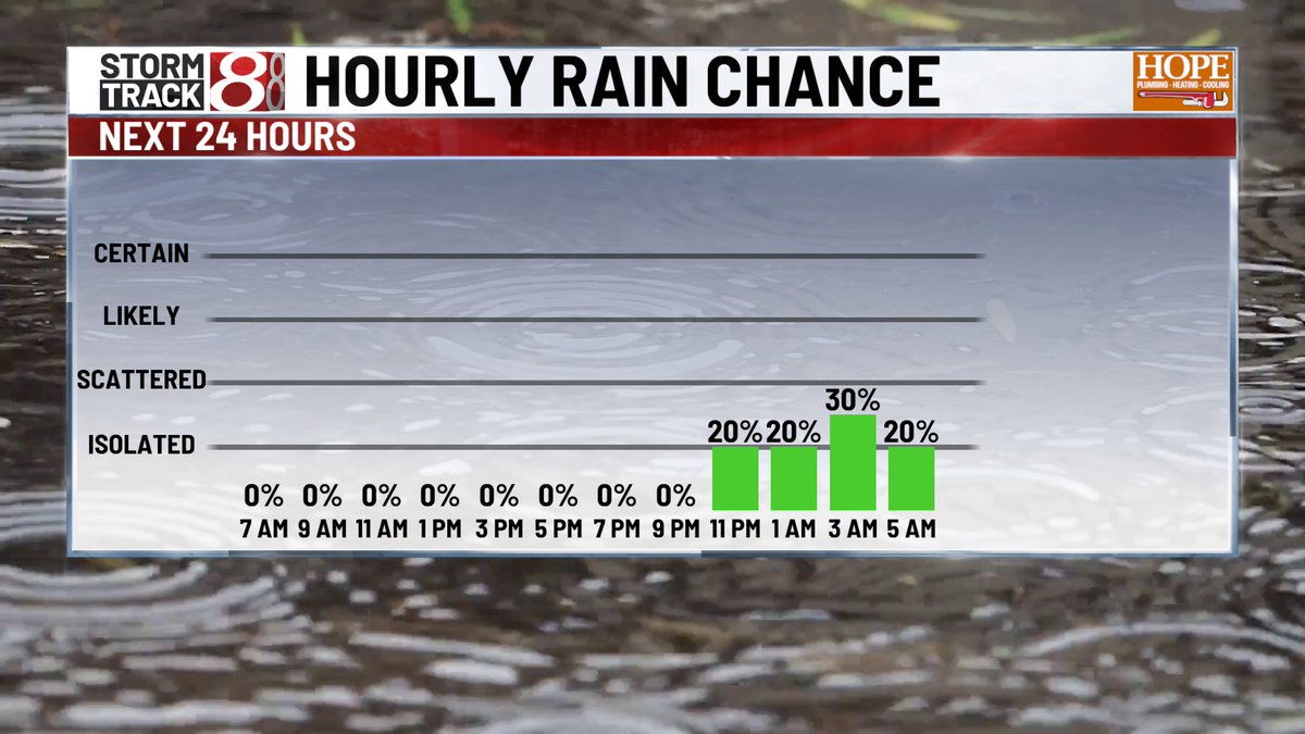
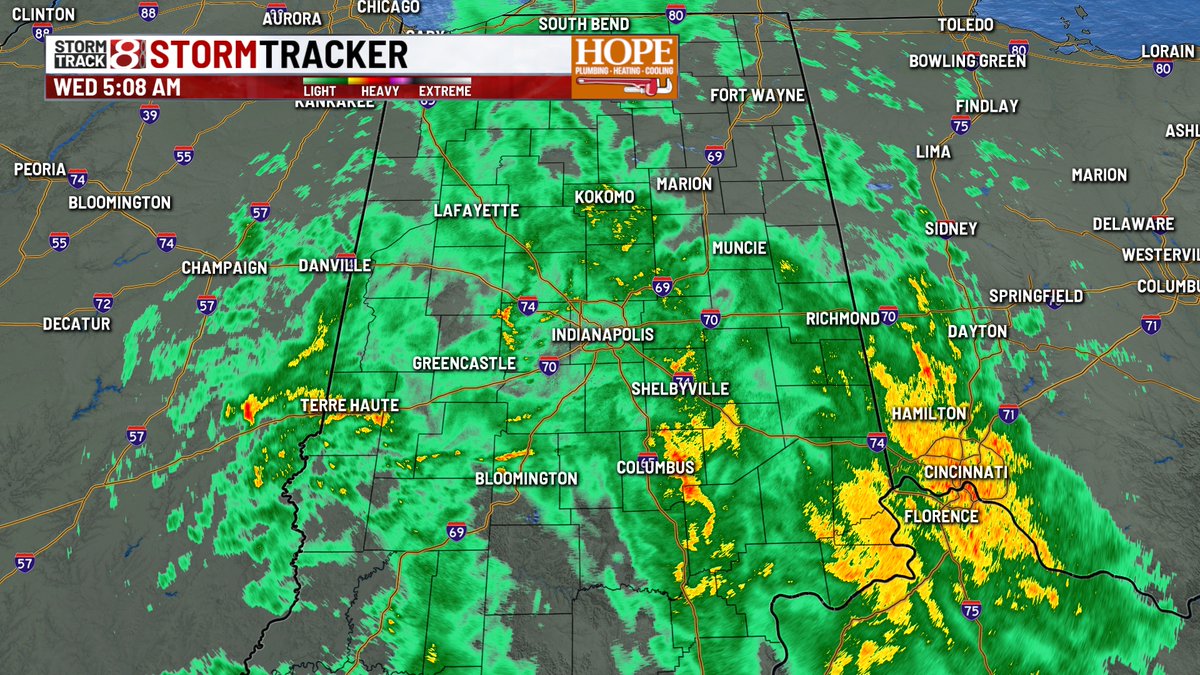
WEDNESDAY - Wet start this morning, with widespread rain over much of central IN. Rain continues through midday, gradually winding down this afternoon. Wind gusts reach up to 30mph as the cold front pushes through around lunch time.
#INwx
TUESDAY - Warmest election day in quite some time - look for highs in the mid 70s - nearly record levels this afternoon. Rain chances will start to ramp up overnight into Wednesday.
#INwx
MONDAY - Gray but mild again today. Some areas of drizzle will be around pretty much all day long. Much better rain chances coming up on Wednesday.
#INwx
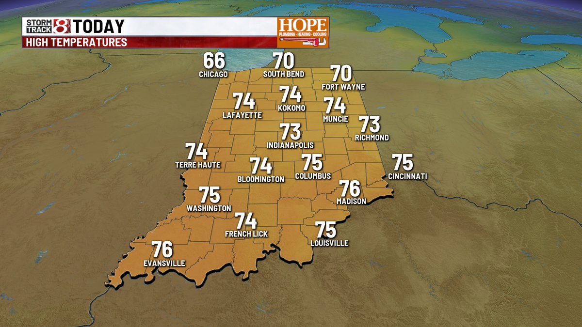
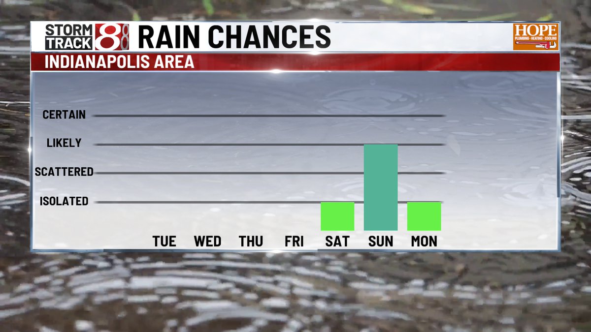
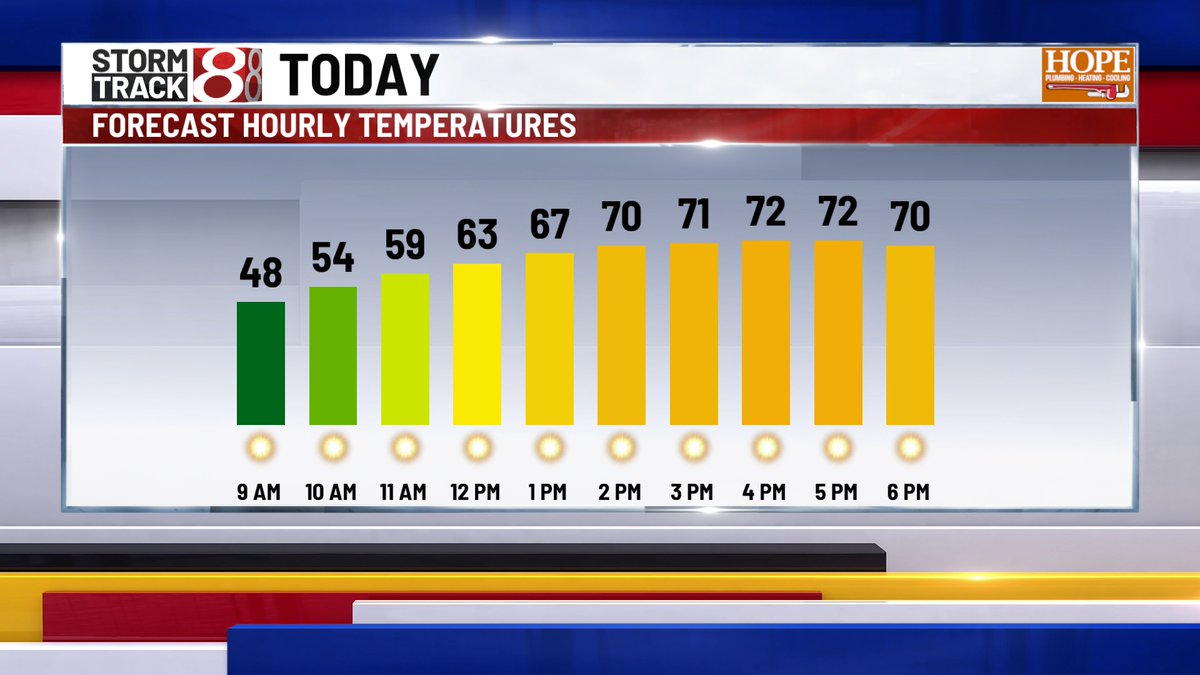
FRIDAY - Good morning - it's a cooler start up north this AM - but another beautiful day is on tap, as highs hit the low 70s this afternoon. Rain chances return late Saturday, with nearly daily rain chances through much of next week.
#INwx
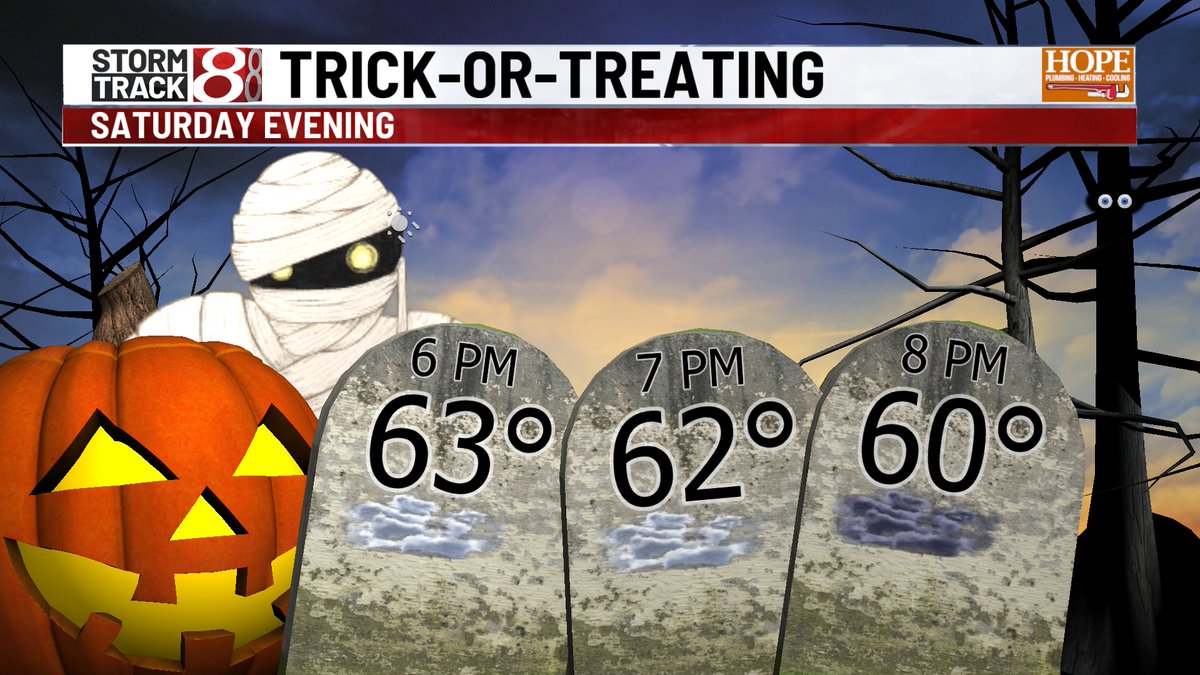
HALLOWEEN - The thinking is we look mainly dry. Cloudy for sure as we head into trick-or-treat hours - and few sprinkles light showers can't be ruled out. Most will be dry with temps int he low 60s.
#INwx
THURSDAY - Warmest day of the week comes today - Highs in the upper 70s will push the daily record of 81° this afternoon. Halloween should be mainly dry - a few spotty sprinkles are possible in the evneing. Pattern turns wet next week with multiple rain chances.
#INwx
WEDNESDAY - A touch warmer this morning! Clouds move out and we get treated to another bright, beautiful day this afternoon with highs in the mid 70s. Rain chances are still on tap for late Saturday and Sunday.
#INwx
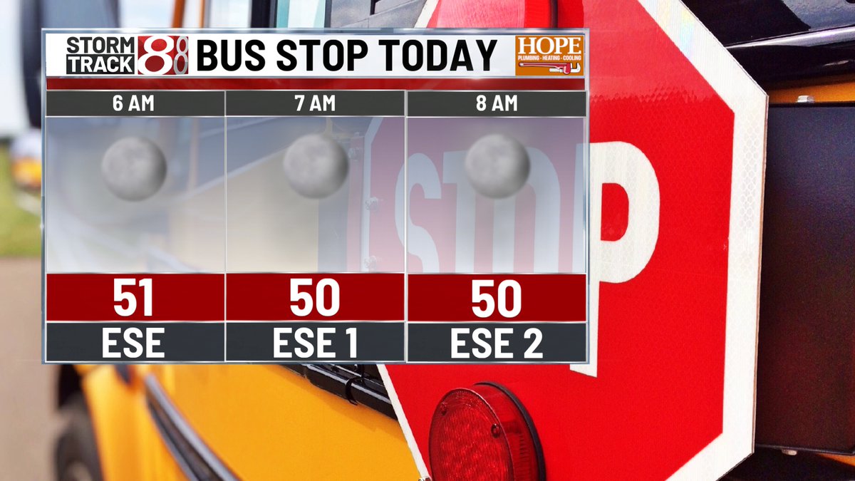
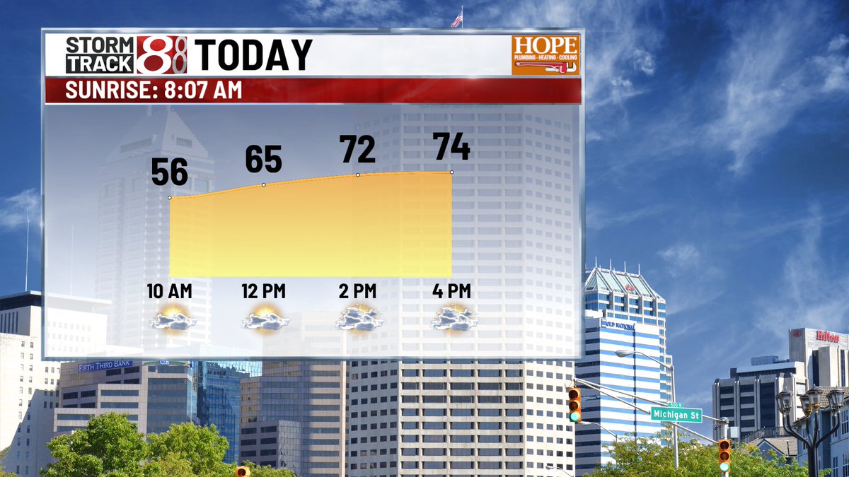
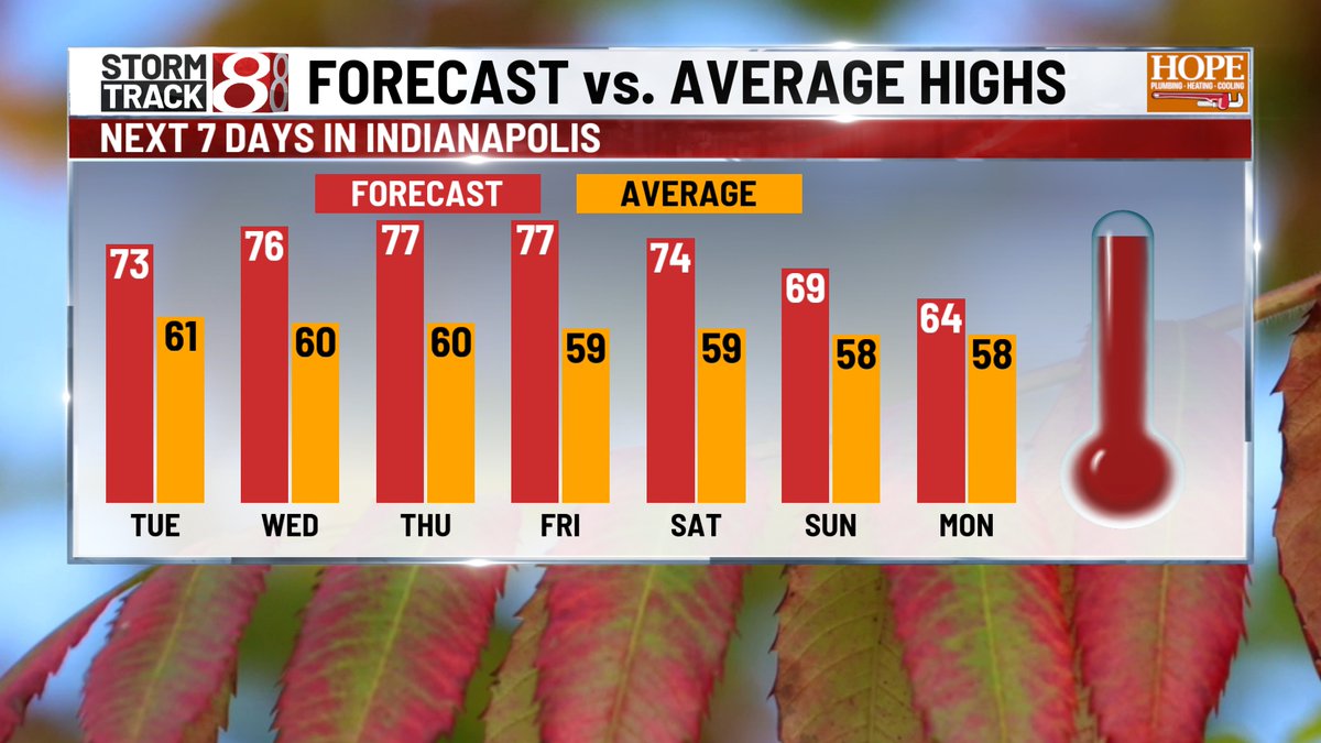
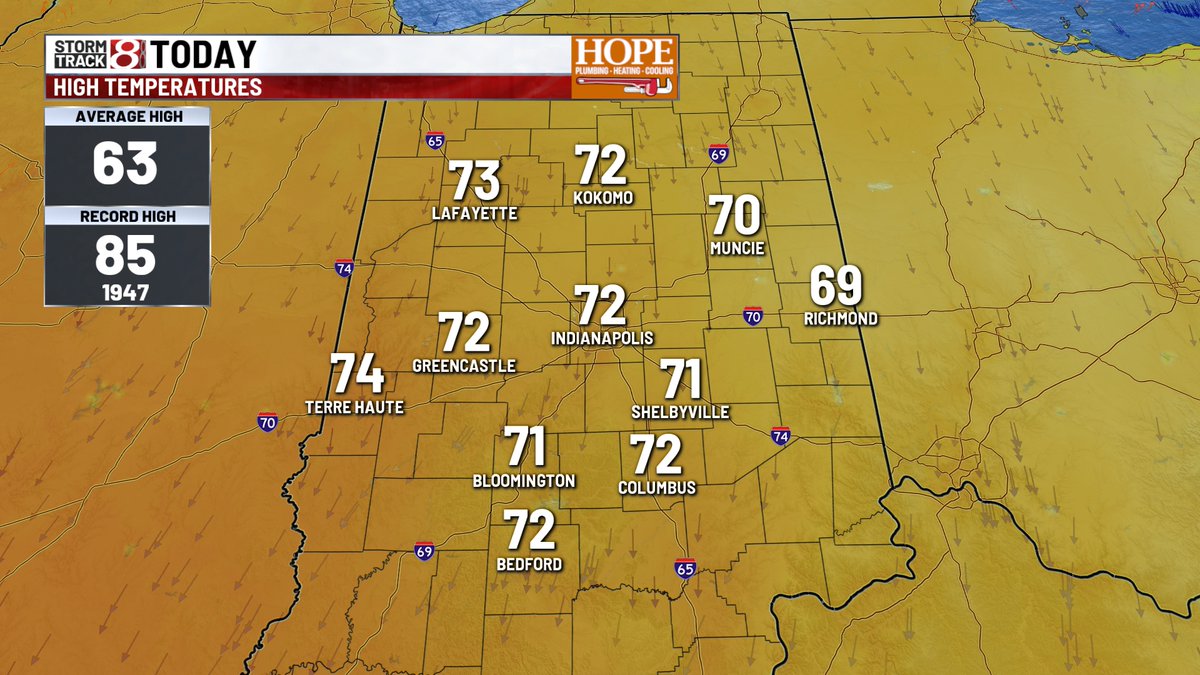
TUESDAY - Rinse and repeat forecast - Temps in hovering around 50° this morning. Should be a quiet start for the kids at the bus stop. Highs climb back to the mid 70s this afternoon for the 8th day in row. We're dry through Fri. rain chances ramp up late Sat./Sun
#INwx
MONDAY - Another beauty today - highs in the mid 70s for the 7th day in a row. Many more to come this week. Changes coming in Saturday/Sunday as rain a cooler temps settle in to open Nov.
#INwx