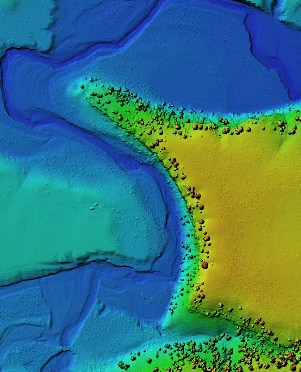
Beneath the floodplains of Arnhem Land lies a hidden landscape that has been transformed over millennia as seas rose and fell.
This complex landscape are critical to understanding the deep history of the region, according to experts from @Flinders. https://t.co/dEWBHqDmO3
Our new @PLOSONE paper has been covered by @abcnews who have included some examples of our Unreal Engine based reconstructions of the past landscapes mapped in this paper!
https://t.co/HWAyM6NAyl
@GriffithRockArt I'm very proud of this paper with my Filipina colleagues Pam Faylona, @ItsYaGirlShaine, Mylene Lising, and @saadriing! Also my first project with @markwillis in almost a decade. Thank you @GU_SocialCultur co-authors Paul Tacon and Maria Kottermair! Team effort!
To the best of my knowledge, this is the first use of a drone base magnetometer for archaeological prospection in North America. We are mapping the magnetic patterns on a Mississippian mound site. Hoping the data looks good! With @chesterphil#Archaeology
First glimpse of drone data from our project near Belmopan, Belize. In this elevation imagery, several mounds are very apparent through the vegetation that are not readily visible to the naked eye. The graphic is approximately 1 km across. #archaeology#3D#photogrammetry
@markwillis was using Reach RS2 for archaeological studies of petroglyphs in Montana. RS2 provided him with highly accurate results and kept a fixed solution even against a cliff wall!
And I was part of such a wonderful and talented field team! @markwillis@ItsYaGirlShaine@saandriing Pam Faylona, Mylene Lising, Fai Bangahan, and the Pagulayan family made it a success.
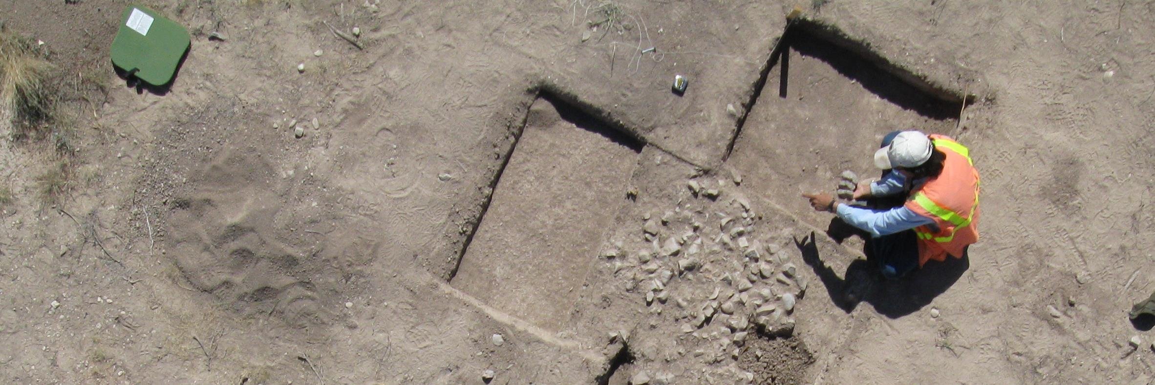
This marks the end of the fieldwork phase. Now we begin analyzing the data!