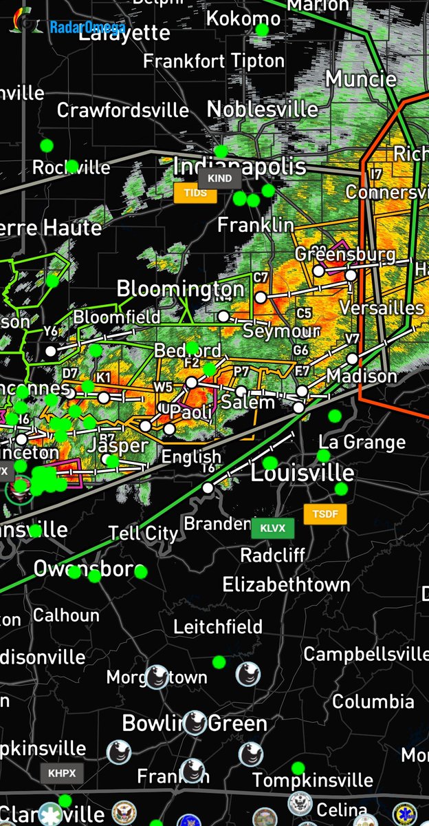
As Isaias makes landfall, Current models are showing an Elevated Tornado risk assosiated with this system. Like and follow @MIDWESTWxLIVE as this storm surges!
MIDWEST WX IS FINALLY ACTIVATING OUR TROPICAL DIVISION.
After what has been a ridiculously quiet Atlantic season, we finally have something worth watching pretty closely.
Invest 92L is starting to get its act together in the Gulf, and chances of this becoming our next tropical depression or tropical storm are getting pretty high. If it does get a name, we’re looking at Tropical Storm Isaias.
There’s still a lot we don’t know yet. Where exactly it goes, how quickly it organizes, and how strong it can get are all going to depend on what happens over the next couple days. So we’re definitely not locking onto one model run or one landfall spot yet.
What we DO know is that there’s plenty of warm Gulf water to work with and this thing finally looks like something worth paying attention to.
We’ll be watching satellite, models, recon data and any changes with 92L pretty much nonstop from here. As we get better data and this thing actually develops a defined center, we should start getting a much clearer picture of what we’re dealing with.
So after waiting basically all season to say this… Midwest Wx tropical coverage is officially active!
Let’s see what 92L decides to do.
-Brandon
#Invest92L #92L #Tropics #TropicalWeather #HurricaneSeason #GulfOfMexico #MidwestWx
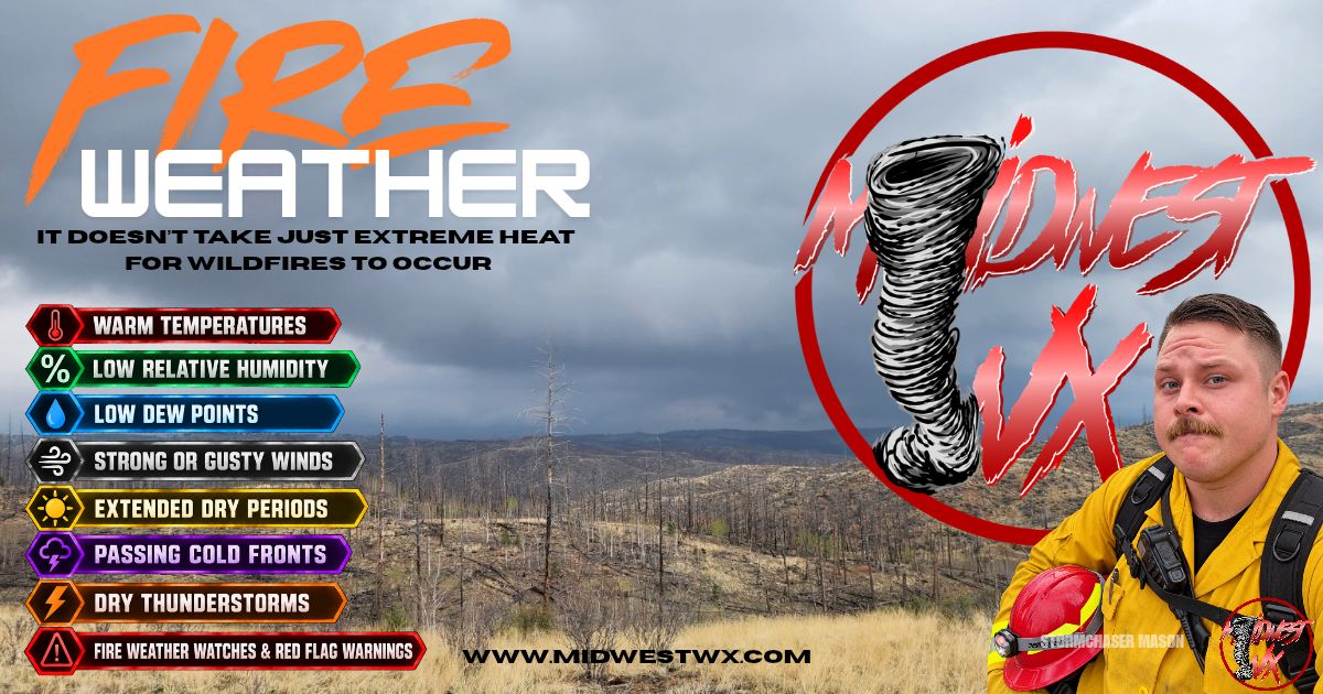
FIRE WEATHER: It doesn’t take extreme heat for wildfires to occur.
As summer drifts away and fall approaches, the right combination of dry air, low humidity, gusty winds, and a lack of rainfall can create an environment where fires ignite more easily and spread rapidly.
Temperature plays an important role by increasing evaporation and helping dry vegetation and other fuels. Relative humidity is especially important. the lower the RH, the faster fine fuels such as grasses and fallen leaves can lose moisture.
Dew point tells us how much moisture is actually present in the air. When temperatures rise while dew points remain low, the temperature/dew-point spread increases and relative humidity can fall significantly.
Wind can turn an otherwise manageable fire into a rapidly spreading incident by pushing flames into new fuels and carrying embers ahead of the main fire. Extended periods with little rainfall can further dry vegetation, while passing cold fronts can produce strong winds, sudden wind shifts, and much drier air behind the front.
It’s rarely one weather variable that creates significant fire danger, it’s when several of these ingredients come together. Please stay weather aware this fall season and be mindful when enjoying a fire outdoors!
Midwest Wx throughout the year continues to monitor all types of weather conditions that could impact our communities. Like and Follow for more Updates and Tips!!
-Storm Chaser Mason Gallusser