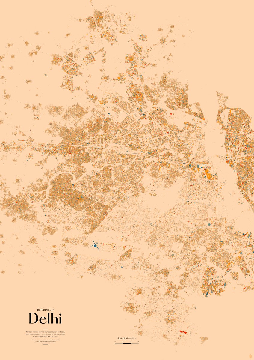
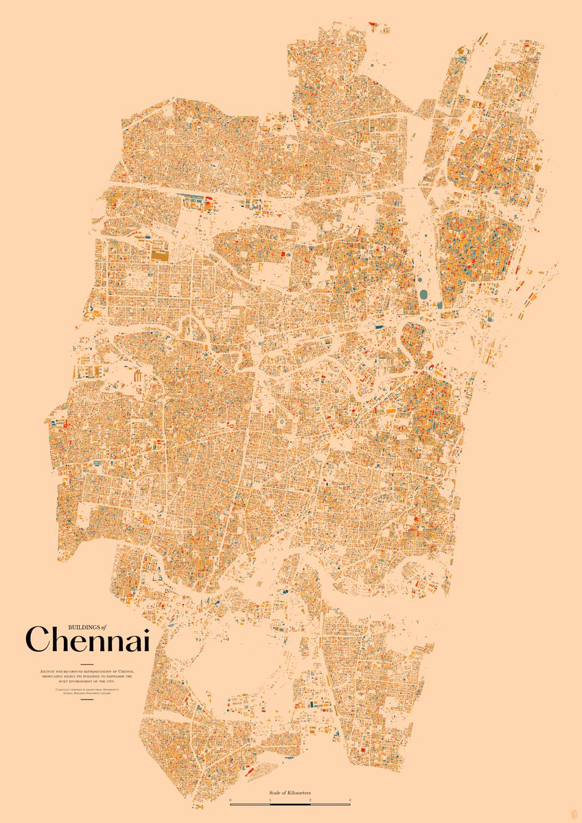
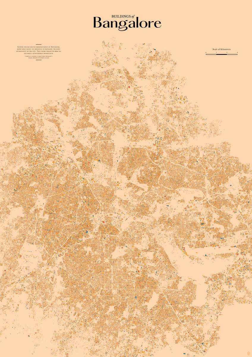
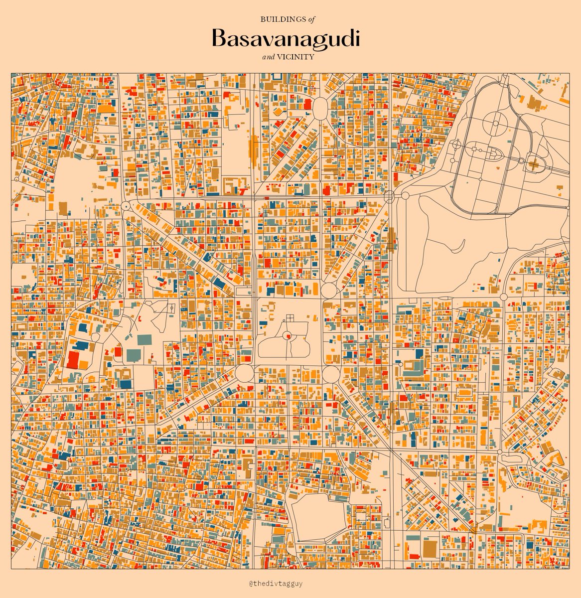
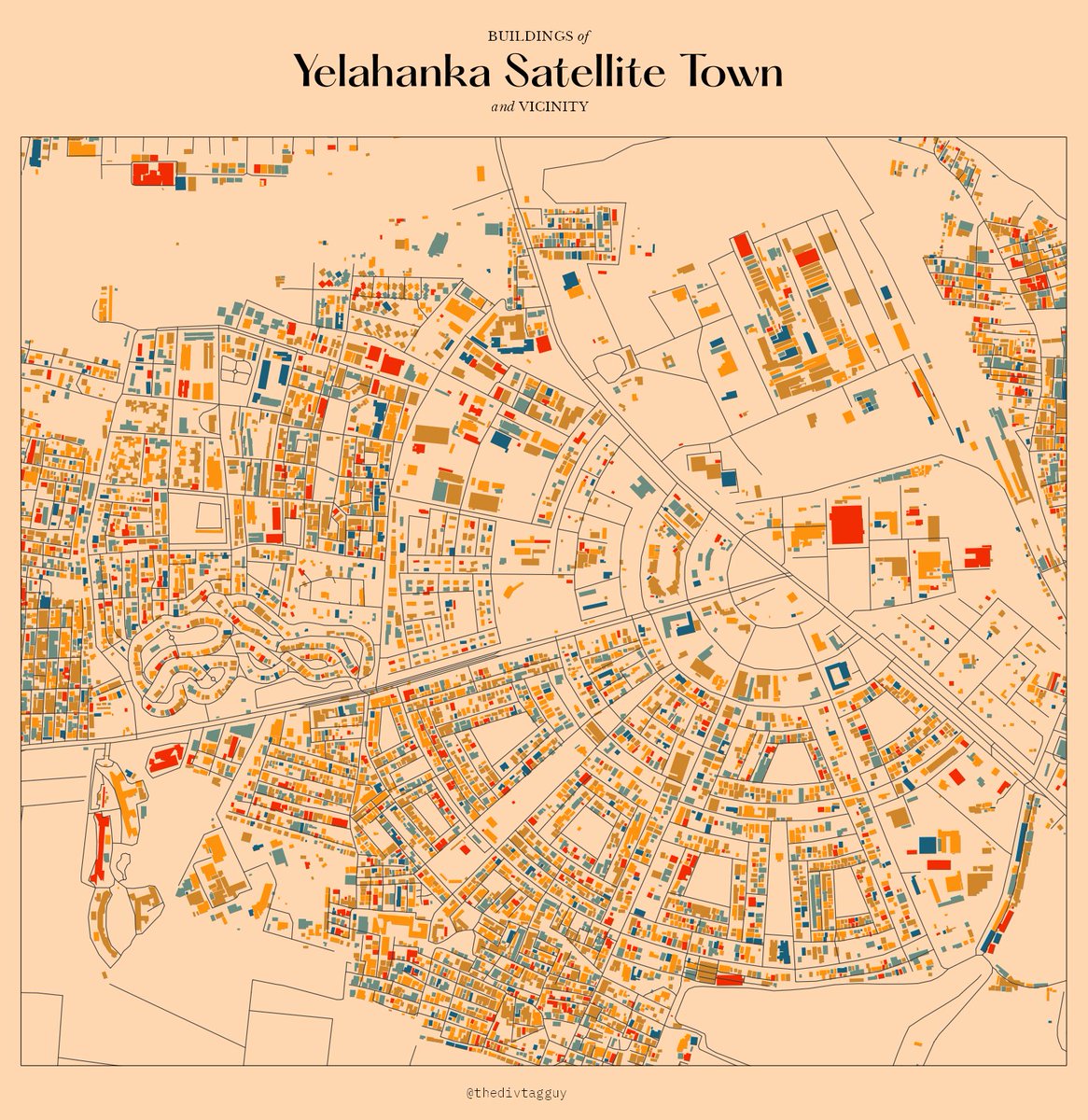
come if you can! I'll be talking about how I started making maps, learnings along the way and other assorted ramblings. If you manage to make it, I also have some map prints to give away 🗺️
I've been nights and weekending my website for the past 8 months or so. I can keep digging this hole infinitely (and I will), so to keep me from pushing the 'show people' part, here it is. It's a new home for the work that I do, let me show you around 🧵
https://t.co/DkaC1CO9a9
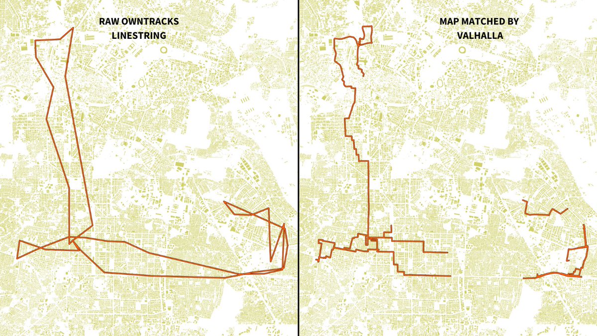
I managed to get this going on my server, I'm very excited. Recording movements with owntracks and map matching with Valhalla works so well for my use-case. Valhalla is *blazing* fast, I'm glad I don't have to rely on Mapbox for this. Thanks to @Vonterinon for the suggestion🗺️
It's #tidytuesday week 48 and we looked at Doctor Who. I made a little nerd postcard from Gallifrey. I think I got the same pretty close? eh?? Added the unstylized versions at the bottom. Except the title graphic, everything done in R 🛸
High res 🔗 https://t.co/QaqrWHCSDl
For this week's #tidytuesday, I analyzed repetition of lyrics in Taylor Swift songs. If you take away similar phrases & words from the 1989 album, how many songs can be reduced by at least 60%? All of them! The repetitions make them catchy as heck.
🔗: https://t.co/m5MLPBV7ob
I made a small interactive for a new @UE investigation, @RevisualLabs has another byline 🗺️ It's rather straightforward, but there's a few nerdy things I like so lemme show you some of it.
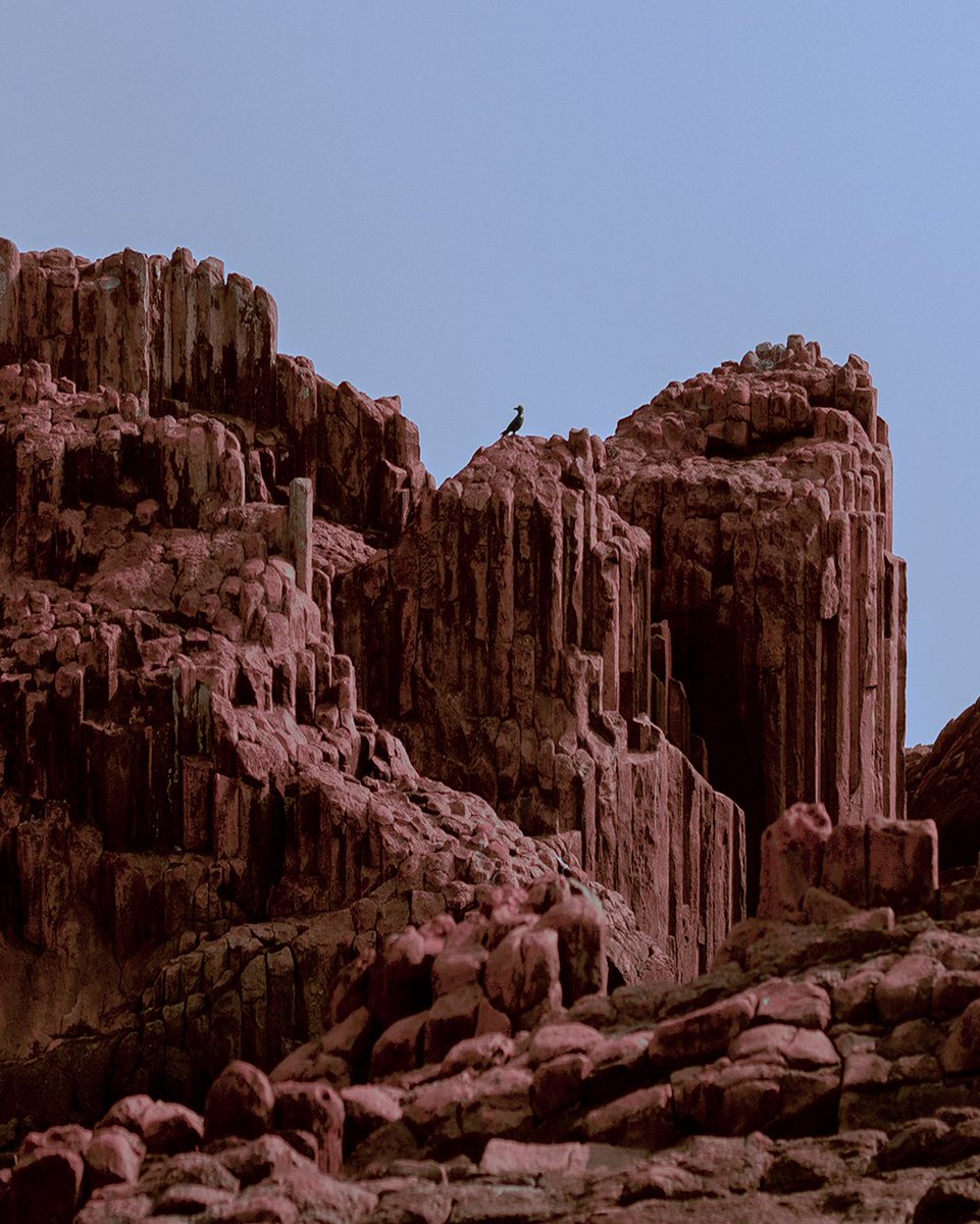
I found older work today while cleaning up some folders, its been a while since I shot anything on infrared. All of these are in Karnataka, in order: Cubbon Park, Sagara and St. Mary's Island.
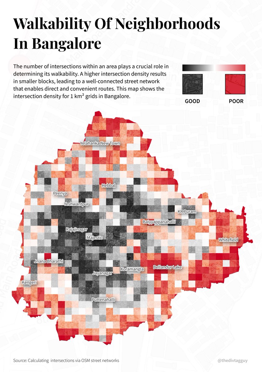
As part of secondary research for my thesis, I calculated intersections for 1x1 km grids in Bangalore and made a quick map to show intersection density as a measure of walkability. #qgis with @openstreetmap data.
I conducted a intro to QGIS and OSM masterclass for 4th year students at @SrishtiArtDes today! Over 6 hours, we learnt basic QGIS functions and then explored Bangalore's census data to create nice maps. All resources and course content here:
https://t.co/mtlzWlH6PS
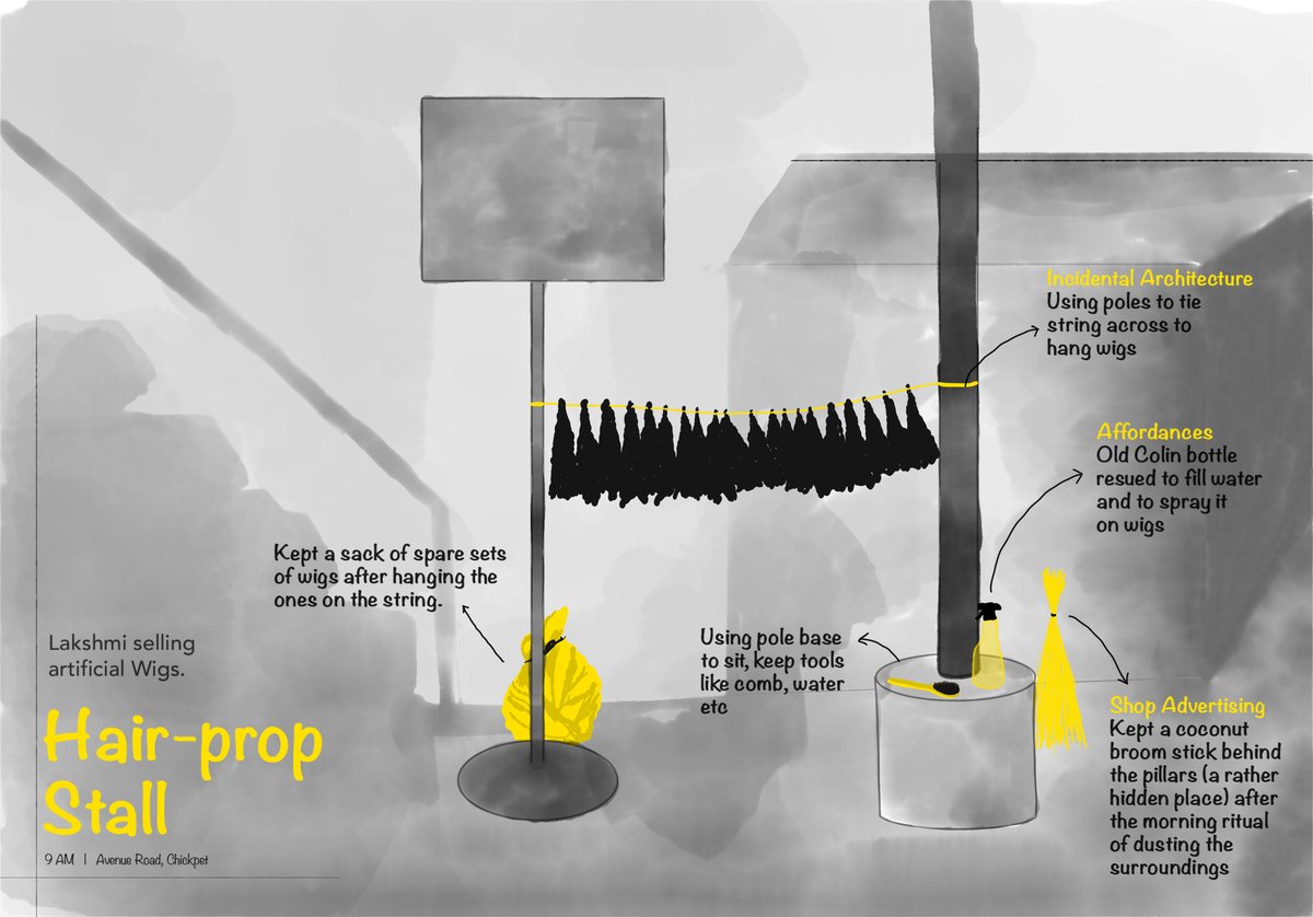
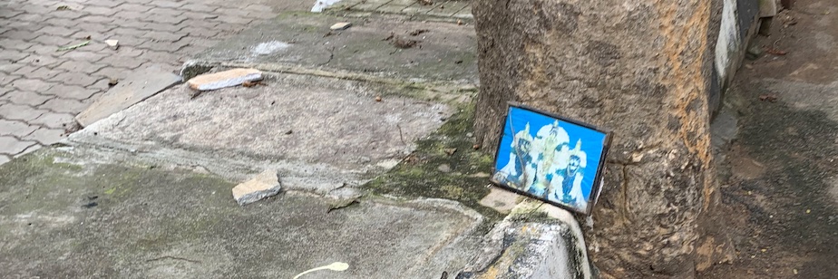
Glimpses from my recent #ethnographic study at Chickpete. It's quite fascinating to note the ingenuity of humans to repurpose and adapt their surroundings for their unique needs (some address it as a form of "#IncidentalArchitecture").
P1) Using steps and bollards as a "nice place to sit down".
P2) Using open ends of hoarding frame (btw, of someone else's shop) to tie a string across - where they can display their products to set up a small street edge shop.
@jmspool@sposhe (5/4 :)) As I just saw the reply talking about "convention." Must we understand the origin of that convention or "common knowledge"? Which is, basically, the user's knowledge.
@jmspool@sposhe (4/4) So here, what makes it usable or unusable isn't whether you've used the same thing across your product. It's more of your user's knowledge & understanding of what you're presenting that allow them to appreciate the consistency you've deployed.