Charlie and I talk about the evolving landscape of vineyards. You might ask, what does geography have to do with wine anyway? Ask the vineyard owner who's shopping for land in New England or the Great Lakes region. Time to invest in a new wine country? https://t.co/jXVKK2YV6O
This interesting map by @kennethfield, a cartographer @Esri, is featured on maps•com. It shows when and where totality will occur during the April 8 total eclipse. The map is made with data from the NASA Scientific Visualization Studio. https://t.co/tlN2rbvQBJ
Can you make this map in 5 minutes like Mike Nelson can? Check it out. Here's how to make a landscape map in ArcGIS Pro in record time using data from ArcGIS Living Atlas. https://t.co/1YWCWhY7au
Beer and GIS! GIS careers in the business world vary widely—from beer agronomist to banking adviser to retail planner. Learn more during this March 12 WhereNext webcast https://t.co/QqbqEUNC8B
No excuses...imagery content is readily available. Check out this webinar on November 2 to get an extensive overview of how to access new imagery resources available in the ArcGIS Living Atlas of the World. Register here: https://t.co/JbBAxvPPvA
I've had this conversation so many times with so many different organizations. Check out how Utah's nonprofit Thanksgiving Heroes is using ArcGIS to optimize their routes. https://t.co/nXzB8u4Jym
Awesome story from #Cargill about a sustainable supply chain for North American beef. Message is on point and the maps and multi-media content are beautiful. #esri#storymaps
https://t.co/C7LlxkWQCe
If you are headed to Esri's User Conference this year, try this interactive UC Map to explore the San Diego Convention Center. The map was created with ArcGIS Indoors and will get you where you need to be! https://t.co/n6CAn6ZXhu #EsriUC2023
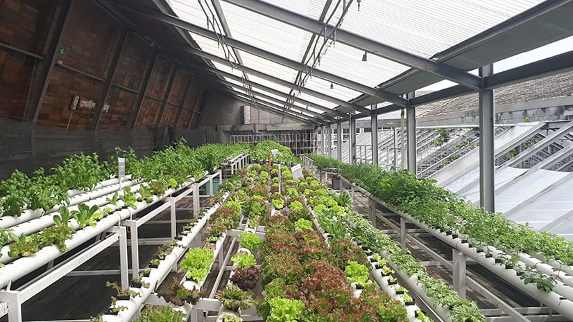
Innovators are moving farms indoors, in big cities, to improve the food supply. Examining the high-tech world of vertical farming https://t.co/jOL10OIWxk
1/2 Russia’s assault into northern Ukraine ended in a costly failure. Russia failed to implement its own principles of war. With the limited combat readiness of many units, it spread its forces too thinly without enough support from artillery and combat aircraft.
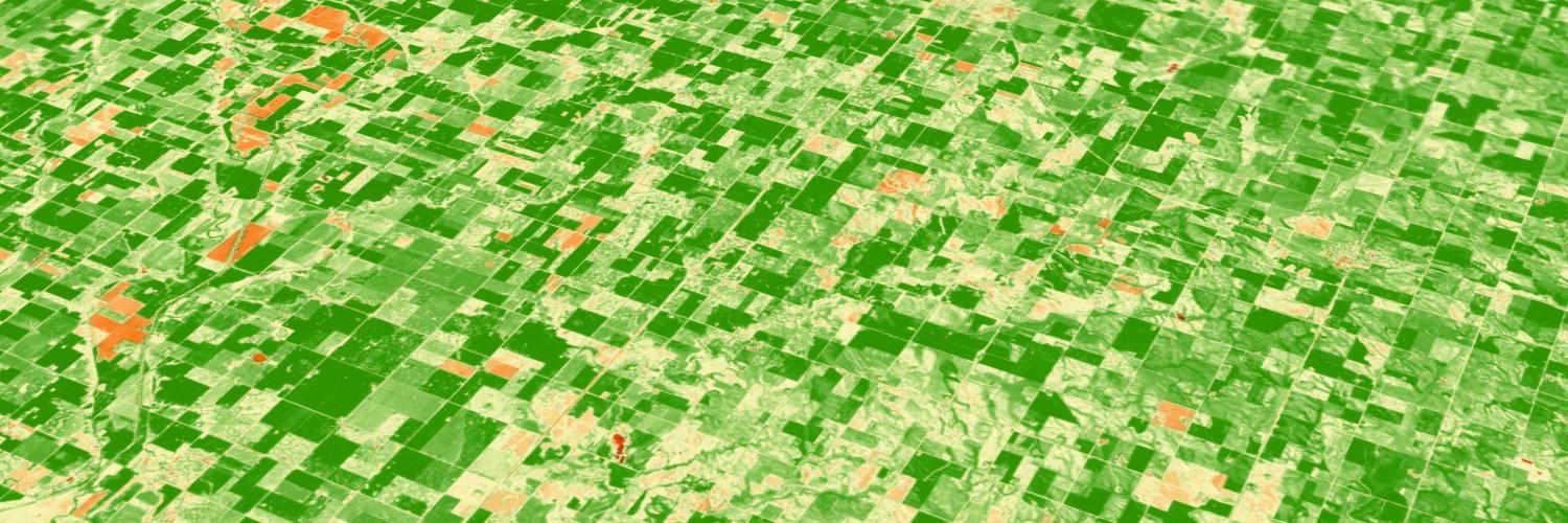
Check out my friends from the Esri Agriculture and Forestry teams on how #imagery can provide greater insight and influence better decision-making. https://t.co/gHei6hp6In #analytics
If you don't know about Site Scan, check out this quick blog on the latest. If you use drones for your operations, this is for you! https://t.co/PKpsvdO7Y0
How to make that map! Great post by @lisaberry_gis on how to make a relationship map with two Ag Census layers from the #LivingAtlas. https://t.co/GumckTSChP
Leading companies are embracing location data and elevating GIS analysts in an effort to enhance strategic planning and everyday operational awareness and my friend Maya Nolan is here to tell you all about it. https://t.co/WvXM5Krp17
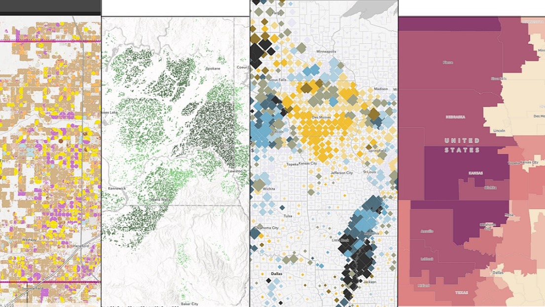
This is so cool. Especially check out the blending modes. Four people, four different perspectives on the Census of Agriculture. https://t.co/3VEfAdzBwb #LivingAtlas