🌍Exciting news!
The #MedEOS has advanced satellite tech for monitoring climate change and natural disasters.
🛰️At #IGARSS2024 we presented our work on monitoring pollution in Med. coastal waters using satellite data.
🤝 Thanks to our end-users for their invaluable support!
📢Project #MedEOS will participate at the ESA - Earth System Science Initiative 2023 in Frascati from 22 to 24 Nov. 2023 presenting its groundbreaking research on Earth observation for land-based pollution assessment and monitoring in the Mediterranean coastal waters. 🌊🌍
🌊 #MedEOS announces the publication of the article: 'A Modified Version of the Direct Sampling Method for Filling Gaps in Landsat 7 and Sentinel 2 Satellite Imagery in the Coastal Area of Rhone River' 🛰️
https://t.co/itp1Biw9aZ
#MedEOSProject#RemoteSensing#CoastalEcosystems
#UNOceanConference 🌊 Uncovering People's Engagement with the Ocean: From Local to Global Perspective 📑 Join us today!✨This event will launch the official results of a national survey carried out in #Brazil to assess citizen’s engagement with the #ocean. 💯#OceanDecade
🥁 We have added @CNES land cover map - a collection covering metropolitan #France with a 10 m spatial & annual temporal resolution.🤩 Speaking of 🇫🇷 France, #EOBrowser is now available in #French = easy access to the nearly 100 million native French speakers around the world. 🎉
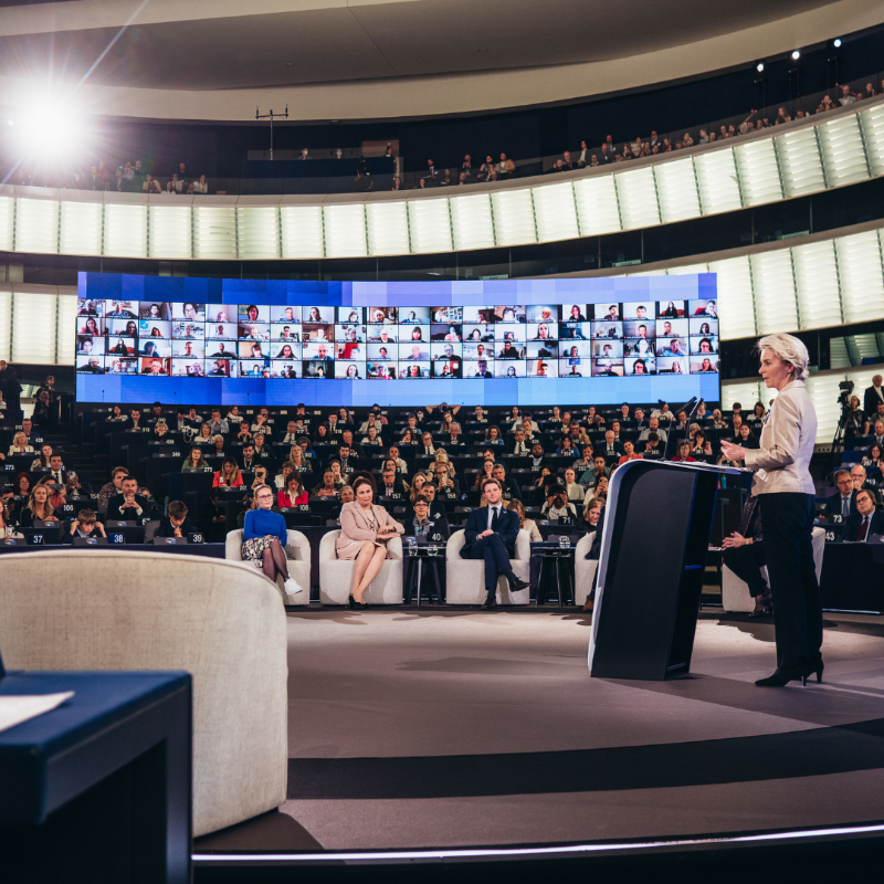
Bringing Europeans' ideas to life.
This week we set out how to follow up on the outcome of the Conference on the Future of Europe.
President @vonderleyen will announce the first set of proposals in September in her #SOTEU speech.
#TheFutureIsYourBringing Europeans' ideas to life.
This week we set out how to follow up on the outcome of the Conference on the Future of Europe.
President @vonderleyen will announce the first set of proposals in September in her #SOTEU speech.
#TheFutureIsYourBringing Europeans' ideas to life.
This week we set out how to follow up on the outcome of the Conference on the Future of Europe.
President @vonderleyen will announce the first set of proposals in September in her #SOTEU speech.
#TheFutureIsYourBringing Europeans' ideas to life.
This week we set out how to follow up on the outcome of the Conference on the Future of Europe.
President @vonderleyen will announce the first set of proposals in September in her #SOTEU speech.
#TheFutureIsYourBringing Europeans' ideas to life.
This week we set out how to follow up on the outcome of the Conference on the Future of Europe.
President @vonderleyen will announce the first set of proposals in September in her #SOTEU speech.
#TheFutureIsYours
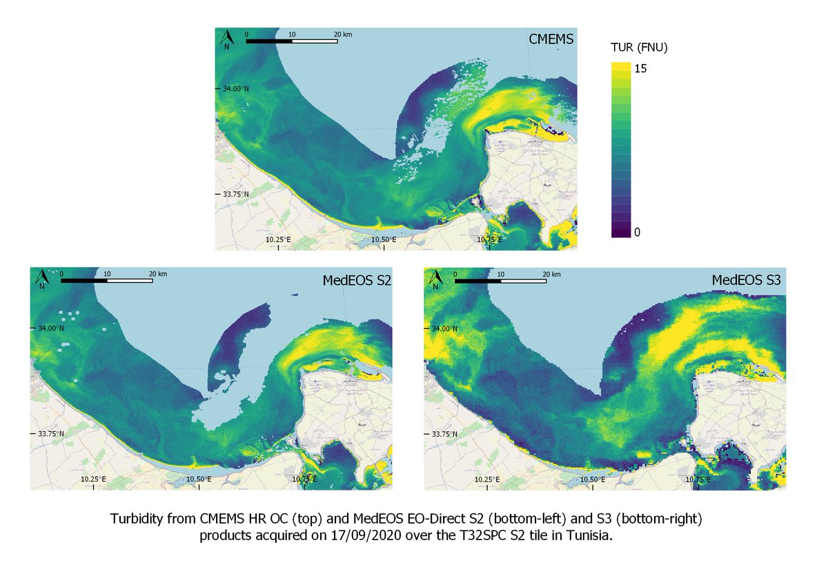
#MedEOS: EO-Direct Service, performed by @TelespazioFr in the MedEOS consortium, derives water quality parameters maps from #Copernicus S2 and S3 data. Turbidity maps in the Southern part of the Gabès gulf in Tunisia are compared with the CMEMS reference in this image.
📢#MedEOS in #LSP22 Wednesday 25.05.2022 "MedEOS project - Land-based pollution assessment & monitoring in the Mediterranean coastal waters"
👉https://t.co/xiyYp8Owzt
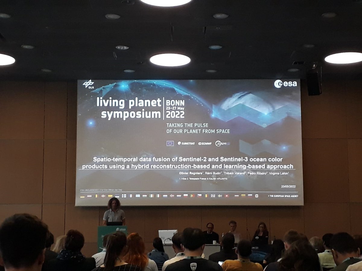
📢#MedEOS in #LSP22 “Spatio-temporal data fusion of Sentinel-2 and Sentinel-3 ocean color products using a hybrid reconstruction-based and learning-based approach”,Ο.Regniers,R.Budin, T.Voirand, P.Ribeiro, V.Lafon| i-Sea,Telespazio France,CoLAB+ATLANTIC
👉https://t.co/IxUZD1DW7c
📆 Mark your calendars!
On 11 May, we will open our MapMyTree counter for all 🇪🇺 citizens to register their planted 🌲🌳 as part of the #3BillionTrees Pledge
Join us at 17:00 CEST for the LIVE launch event with @VSinkevicius: https://t.co/y4WD9nYphZ
#EUForests#EUBiodiversity
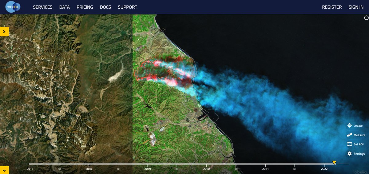
#WEkEOViewer | In early March the coastal areas of #SouthKorea suffered intense forest wildfires. This shot was captured by #Sentinel2 on 5 March with the Short Wave Infrared (SWIR) composite.
See more on our platform ➡️https://t.co/PZkLCQVfO0
Brace yourself, a 🆕 #EU4Ocean Ocean Literacy Festival will soon arrive in Ravenna 🇮🇹.
Do you want help us #MakeEUBlue? There is still time to organise an activity or event and join the festival.
Submit your application by 15 April 👉https://t.co/hWm607X6pA
#Youth4Ocean
#MarineData4Baltic
Meet the #CopernicusMarine QGIS expert!
Want to know more about Open-Source Geographic Information System? Session 2, 23 March, a practical session on QGIS will be performed
Ask live your questions to our expert
More info &🆓registration
https://t.co/nXSsTwLv8B
Meet the #Copernicus L-band Synthetic Aperture Radar #ROSE-L 🇪🇺����️
An expansion mission to provide information to complement the #Sentinel1 mission
It would be used in support of
✅Forestry
✅Agriculture & food security
✅Arctic & cryosphere
✅Disasters & geohazard monitoring