📢 Refreshed website now live! 📢
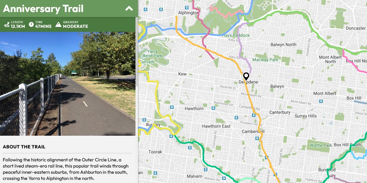
✅ A new look UI for both desktop and mobile.
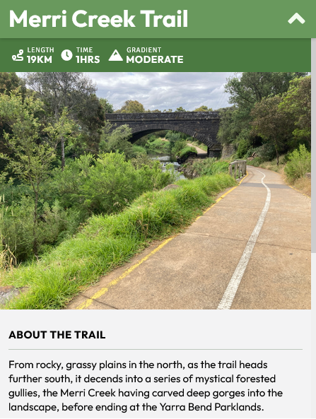
✅ Trail descriptions and photos for half the trails added, with more to follow.
https://t.co/97bay4hx6h
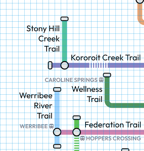
What started out as a simple conversion to a vector image turned into a rebuild from the ground up - old map underlayed in black shows the extent of changes and tweaks so far in the new version!
Working on Bike Transit Map v2, now as a vector file, rebuilt with better spacing, more consistent design and with text no longer abbreviated for better clarity.
Any feature inclusions or trail corrections / additions from the old version?
Getting to grips with - and really enjoying @inkscape so far to create this version (old map created in https://t.co/Psmk4STHXI). Despite being a tad laggy, especially when editing text, it's a insanely powerful piece of free software.
Would love to see coloured trail icons make a return. Creates a fun visual identity for each trail, as well as a glanceable cue to confirm you’re still on the right path.
Website update; 22 / 74 trails now have photos and trail notes complete, aiming to have half done before I launch the refreshed website.
Going to be a busy month! 🚴
@elyobo You've sent me down a rabbithole now! Something to do with multiple exposures for each colour and not accounting for the movement of the plane it seems.
https://t.co/A6g1O1NDUt
https://t.co/YpvbX9dzQE
Surprised I don't see this more often - changing to most recent satellite imagery in Google Earth shows a plane coming in over Melbourne's nothern suburbs.
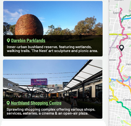
A new feature I'm working on as part of a broader website update - highlighting things to do & see along the trails. I'll be asking for recommendations for each trail as I get closer to launching it! #sneakpeak
Found these today - a very old attempt at mapping bike trails - aiming for just enough detail to make wayfinding while out possible. Yes, these are made in MS Paint.
#graphicdesignismypassion
@daynaa2000@philipmallis That's a good point - in the current version of the website I'm working on, I'm planning to have it as more of a general description that just a single icon.
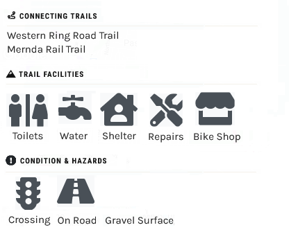
Prototyping a website feature which will show facilities, hazards and the surface condition for each trail. Any suggestions for what should be included?
@elyobo OpenCycleMaps shows the extention, I'll add it into mine soon. And yes, I wish they'd properly extend the Maroondah Aqueduct Trail west to meet the Plenty River Trail - then extend that north to Mernda - provide more options for circuits in the area.
https://t.co/GLv3sMEKjo
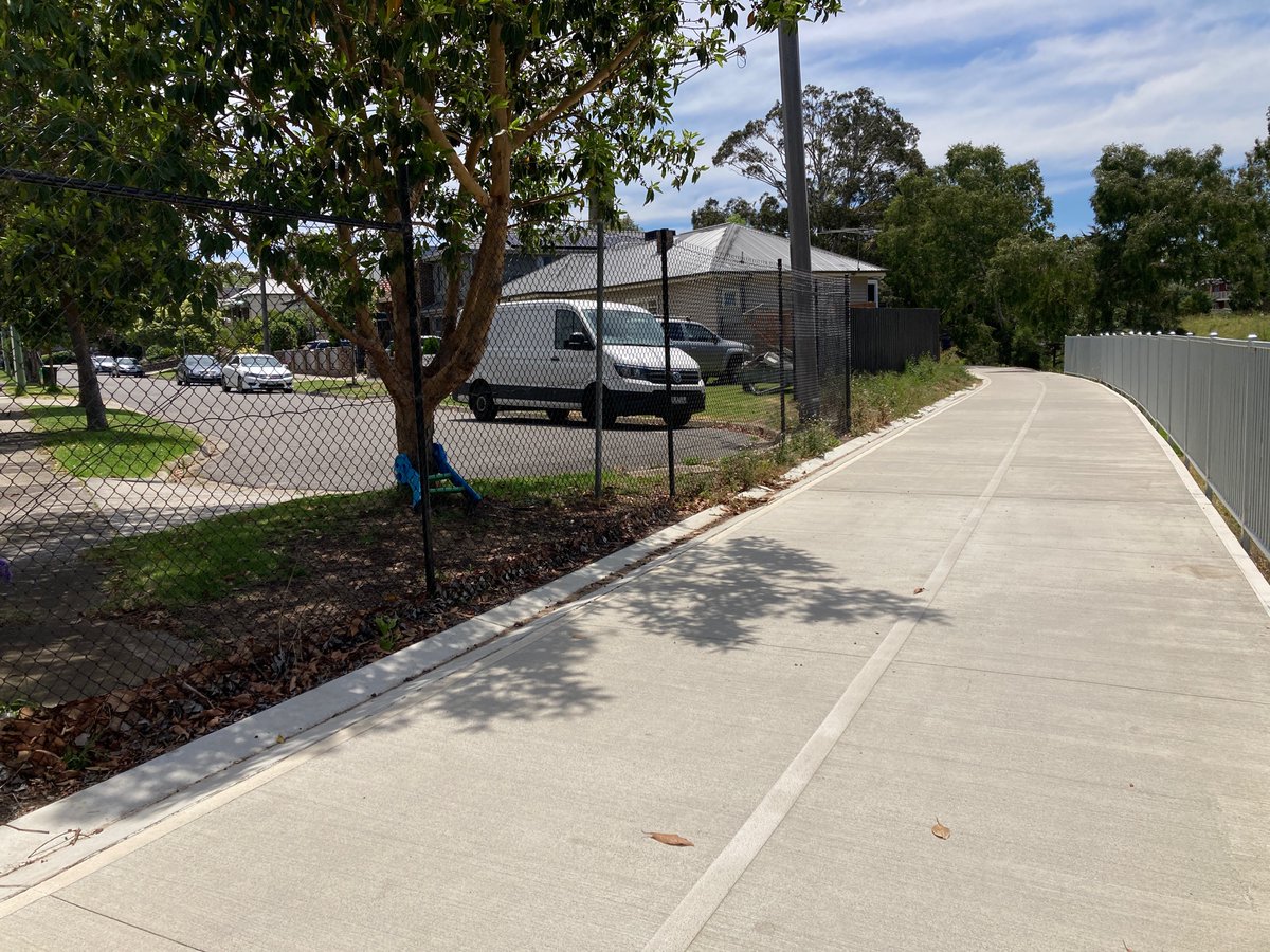
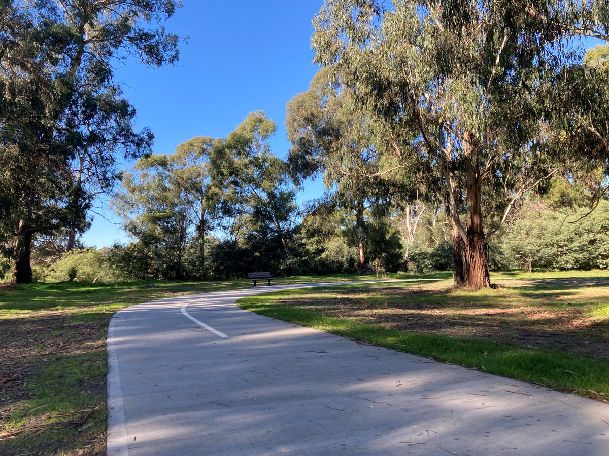
Visited the new extension of the Diamond Creek Trail - looking fantastic and seems is already well used. Lots of new housing north-east of Diamond Creek, so this will provide a great way to walk or bike into town.... (1/6)
Overall a great new addition to the trail network & I look forward to revisting once extended all the way to Hurstbridge - supposedly later this year! (6/6)
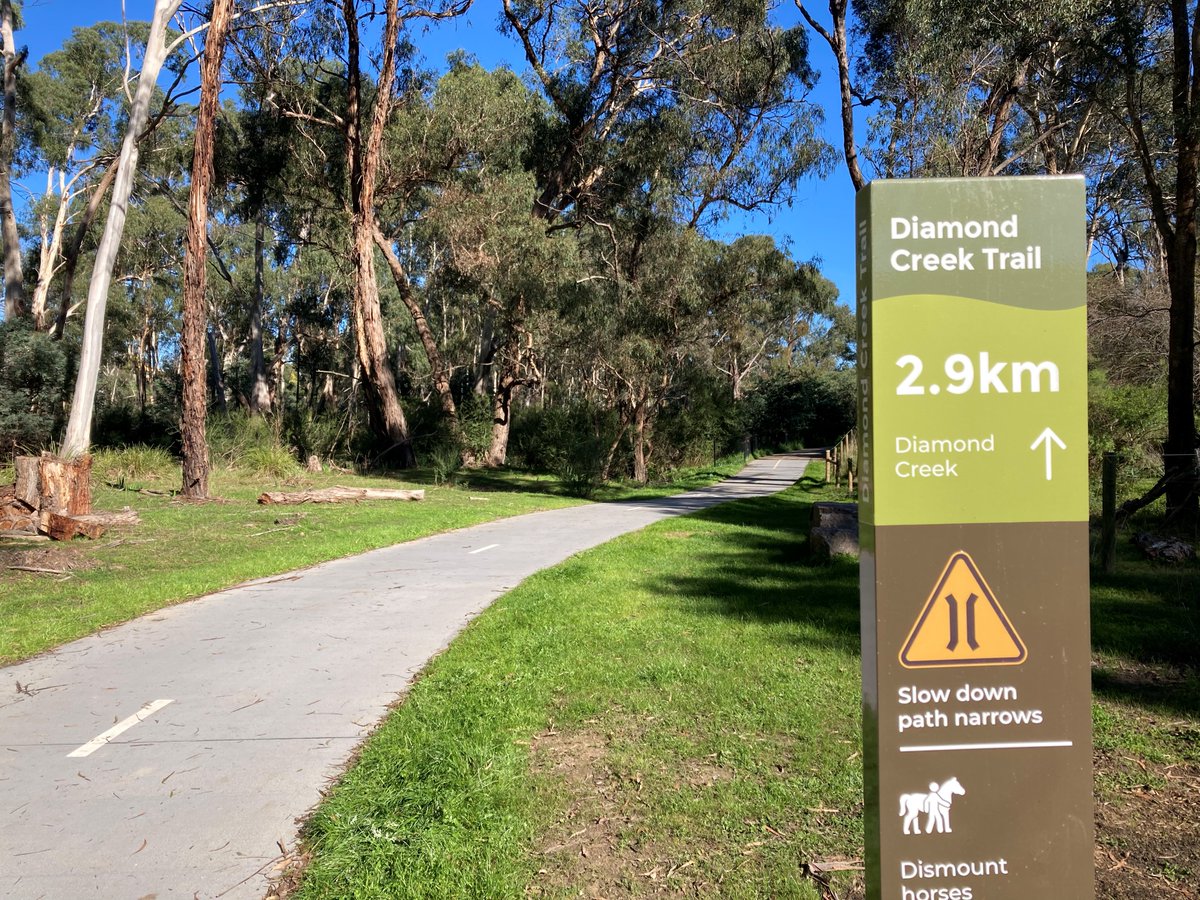
New signage looks nice - should be rolled out and standardized the entire route - there's at least 3 or 4 different design styles along the whole trail. (5/6)