31 million acres opened for solar and wind under BLM's Western Solar Plan. Every section needs a PLSS legal description on Form SF-299 — township, range, section, and the correct principal meridian.
Wrong meridian = completeness rejection before environmental review starts.
https://t.co/n2fjr9yhCb
#PLSS #RenewableEnergy
BLM GeoCommunicator: login-gated, 10-30s per lookup, no batch, no API.
If your PLSS workflow still runs through it, here's the migration path — REST API under 200ms, batch up to 5,000 descriptions, no federal auth required.
https://t.co/KkYMXoSPSp
#PLSS#GIS
672,880+ licensed Alberta wells — every one identified by a UWI that encodes the DLS location inside the string. Strip the prefix and sequence: 100/06-32-048-07W5/00 → LSD 06-32-048-07W5 → GPS coordinates. Batch a full well program in seconds. https://t.co/vTKRygUl4f #OilAndGas
The BLM GLO Records portal has 214 years of land patents, survey plats, and field notes — free and searchable. The hard part: connecting a 19th-century Section-Township-Range description to GPS coordinates.
Step-by-step guide for landmen and title examiners.
https://t.co/vSZ4IjTrzP
#Landman #PLSS
AER CCS pore space tenure proposals close June 30 — 36 days.
Township Canada's CCS Tenure Layer shows licensed zones on the DLS grid. Find every quarter section in your project area, export GeoJSON for AER submissions.
https://t.co/8otOXRuKll #CCSAlberta#AERCompliance
Rural title says NE 14-032-21 W4M. No GPS pin, no street address.
Read right-to-left: W4M → Range 21 → Township 32 → Section 14 → NE quarter. 160 acres near Hanna, AB.
https://t.co/Stq7IBLgYM
#RealEstate#DLS
A deed lands with "SW Quarter, Section 22, T12N R25E Montana PM." You have minutes to verify the parcel before closing.
Paste it into Township America — GPS coordinates and mapped parcel boundary in seconds, all 30 PLSS states.
https://t.co/3dnEgzqRmO
#PLSS#RealEstate
Your AER well licence has a UWI. Your field crew needs GPS. Not the same thing.
Strip prefix/suffix from 100/06-32-048-07W5/00 — the LSD is 06-32-048-07W5. Enter that, get a GPS pin.
https://t.co/9Ls7m8n7IG #OilAndGas#LSD
W4M and W5M are one character apart in an Alberta DLS description. Swap the meridian and your field crew ends up 250 km from the actual location.
Always confirm the meridian before passing locations to the field.
https://t.co/8otOXRuKll #DLS#Alberta#LandSurveying
Not every land description in Alberta and Saskatchewan comes with a map link.
NW 14-032-21 W3M. LSD 06-32-048-07W5. Paste either into Township Canada — GPS pin in seconds.
https://t.co/8otOXRuKll #DLS#LegalLandDescription
Running title on a Powder River Basin well? Wyoming uses the 6th Principal Meridian. T49N R73W Sec 22 puts you in Campbell County, southeast of Gillette. Know the meridian before you open the APD.
https://t.co/lVBb64Ww3S
#PLSS#OilAndGas
PLSS lookup, mid-conversation.
plss_to_latlon("T15N R73W Sec 22") returns lat, long, county, and meridian — no wrapper, no context switch.
pip install townshipamerica[mcp]
https://t.co/mJZQ9IqvLr
#PLSS#MCP
AER CCS tenure requires DLS notation, not shapefiles. One injection zone at Fort Saskatchewan can cover 14+ quarter sections — all needing verified legal land descriptions before June 30.
https://t.co/iyuLrn6xxM
#CCS#AER
Building PLSS geocoding for 30 states: BLM data, meridian parsers, fractional section edge cases. That's 3–6 months minimum.
Township America API is an afternoon integration. Test live on RapidAPI before writing a line of code.
https://t.co/TemMVTKJ0w
#PLSS#GIS
Title: Lot 12, Concession 4, Brock Township. No GPS. No section or meridian.
Ontario never used the DLS grid. Lot-and-concession surveys date to the 1780s — a different system.
→ https://t.co/ION9inAUC8
#RuralRealEstate#Ontario
Aliquot parts read right to left. NW¼SE¼ of Sec 22 = the NW quarter of the SE quarter — 40 acres, not 160.
The reading direction trips up first-timers every time.
https://t.co/UMPpypGGtj
#PLSS#LandSurvey
Not every quarter section is 160 acres.
Correction sections in columns 1 and 7 of a DLS township run 60–100 acres — the grid adjusts for earth's curvature.
Matters if you're filing SCIC or buying SK farmland.
https://t.co/8otOXRuKll #Agriculture#DLS
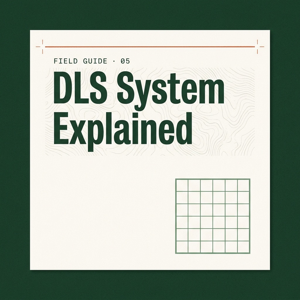
One survey grid. 1871. Four provinces — every western Canadian well license, farm lease, and pipeline route traces back to it.
NE-25-24-1-W5 = 160 acres in Alberta. The full DLS breakdown:
https://t.co/WZ1co27jIj
#DLS#LegalLandDescription


![mepa1363's tweet photo. PLSS lookup, mid-conversation.
plss_to_latlon("T15N R73W Sec 22") returns lat, long, county, and meridian — no wrapper, no context switch.
pip install townshipamerica[mcp]
https://t.co/mJZQ9IqvLr
#PLSS #MCP https://t.co/ChZlFDHdvX](https://pbs.twimg.com/media/HIOKhe6XUAAisfx.jpg)