NYCEM, in coordination with the National Weather Service, is monitoring a storm system that could bring snow to NYC Sunday into Monday.
❄️ Most likely scenario: periods of light snow Sunday morning and again Sunday evening, potentially continuing into Monday morning, with around 3 to 4 inches total.
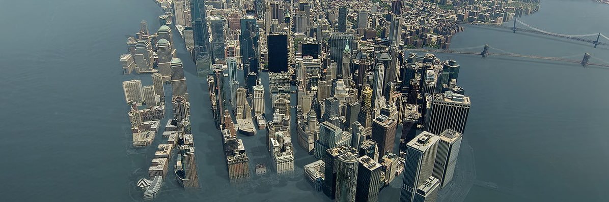
Lower chance scenario: a stronger storm track could bring heavier snow Sunday into Monday, with over 6 inches possible and some risk of minor coastal flooding.
Be ready to adjust travel plans Sunday and Monday morning, including caregiving schedules. Avoid unnecessary travel Sunday and Monday morning if you can to allow snow operations crews to operate. If you are traveling, use mass transit and expect travel delays.
🌡️ Temperatures Sunday, Monday, and Tuesday are expected in the mid to upper 30s, with overnight lows dropping from near freezing Sunday night into the upper 20s by Tuesday night. Highs are expected to remain above freezing, and temperatures are expected to be in low to mid 40s by midweek.
Continue to monitor forecasts and official updates as details become clearer. Subscribe to @NotifyNYC by texting NotifyNYC to 692-692, and view winter weather preparedness tips at https://t.co/3t3I1pb2xQ.
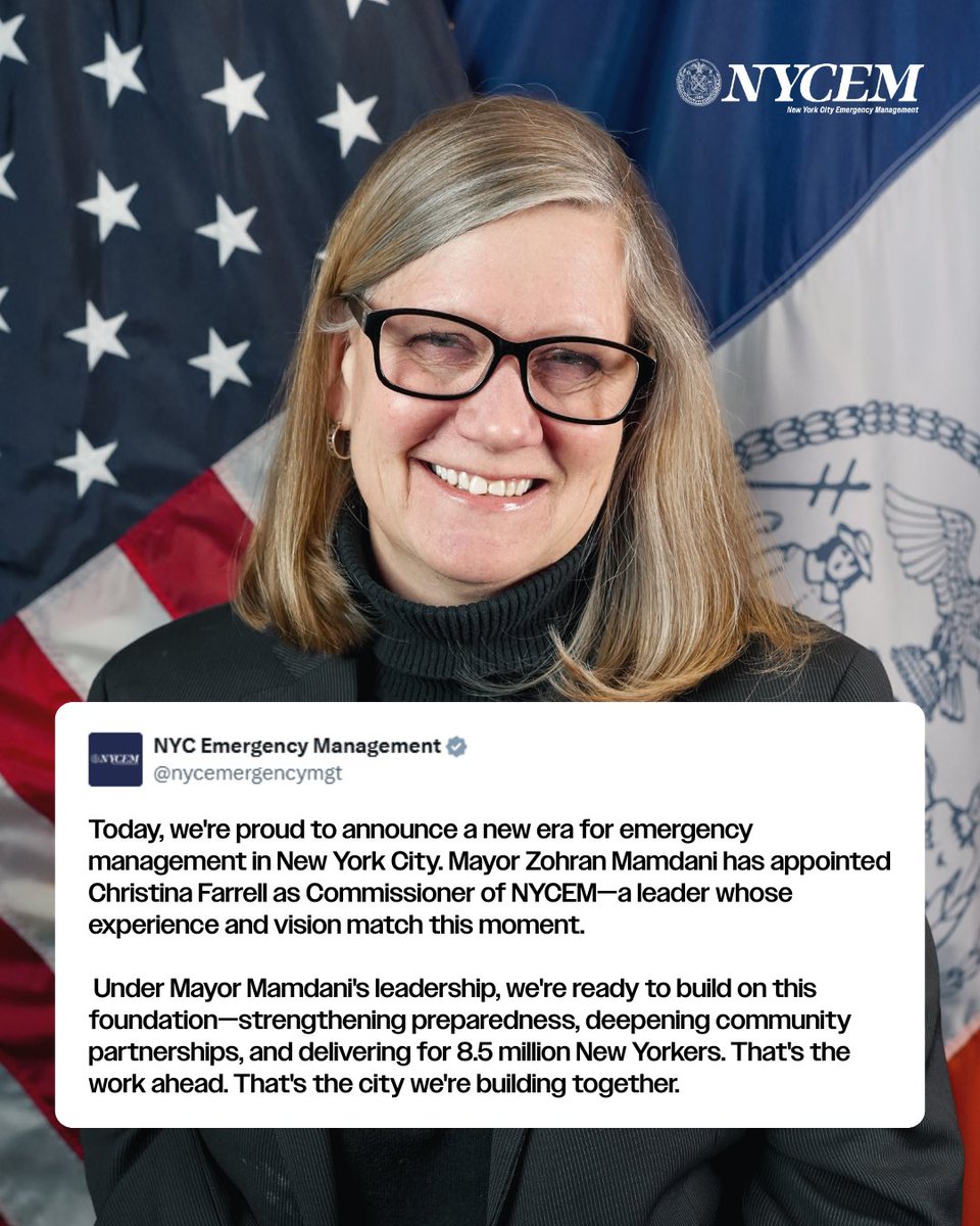
Today, we're proud to announce a new era for emergency management in New York City. Mayor Zohran Mamdani has appointed Christina Farrell as Commissioner of NYCEM—a leader whose experience and vision match this moment. For more than three decades, Commissioner Farrell has been at the center of New York City's most critical moments. Commissioner Farrell built NYCEM's external affairs and community engagement work from the ground up—forging partnerships with elected officials, community-based organizations, private sector partners, and neighborhood leaders in every corner of every borough. She grew CERT and Ready New York into programs that put preparedness directly in the hands of the people who need it most. Her record reflects what effective emergency management demands: operational excellence and deep community trust. Plans and logistics that work. Relationships and communication that hold when it matters most. Under Mayor Mamdani's leadership, we're ready to build on this foundation—strengthening preparedness, deepening community partnerships, and delivering for 8.5 million New Yorkers. That's the work ahead. That's the city we're building together. Commissioner Farrell, congratulations. New York City is ready. Let's get to work.
.@NYSDEC has issued an Air Quality Health Advisory for NYC today, February 18, due to fine particulate matter (PM2.5).
Young children, older adults, and people with heart or breathing conditions should avoid strenuous and prolonged outdoor activities: https://t.co/3uEcf9Ayfj
As temperatures rise after days of extreme cold and snow, serious safety risks remain across New York City.
Melting snow and ice can fall from buildings and structures without warning. Property owners and construction sites are required to remove hazardous ice and snow. Report unsafe conditions to 311. Call 911 for emergencies.
Salty meltwater can damage underground electrical equipment and, in rare cases, trigger manhole fires or other hazardous conditions. If you see smoke, sparks, or an open manhole, move away immediately and call 911.
Wet streets and sidewalks can refreeze overnight, especially on bridges and shaded blocks. Dangerous ice and new potholes are likely. Walk and drive with extreme caution.
Ice on lakes, ponds, rivers, and tidal areas is unstable after temperature swings. Salt water ice is often thinner and weaker than freshwater ice. Never assume ice is safe. Avoid icy areas near bridges, docks, and moving water. Closely supervise children at all times.
If someone falls through the ice, call 911 immediately. Do not attempt a rescue without proper equipment. Many rescuers become victims themselves.
At home, check vents and flues for blockages. Make sure smoke and carbon monoxide detectors are working. Use proper footwear outdoors and check on older neighbors and those who may need assistance.
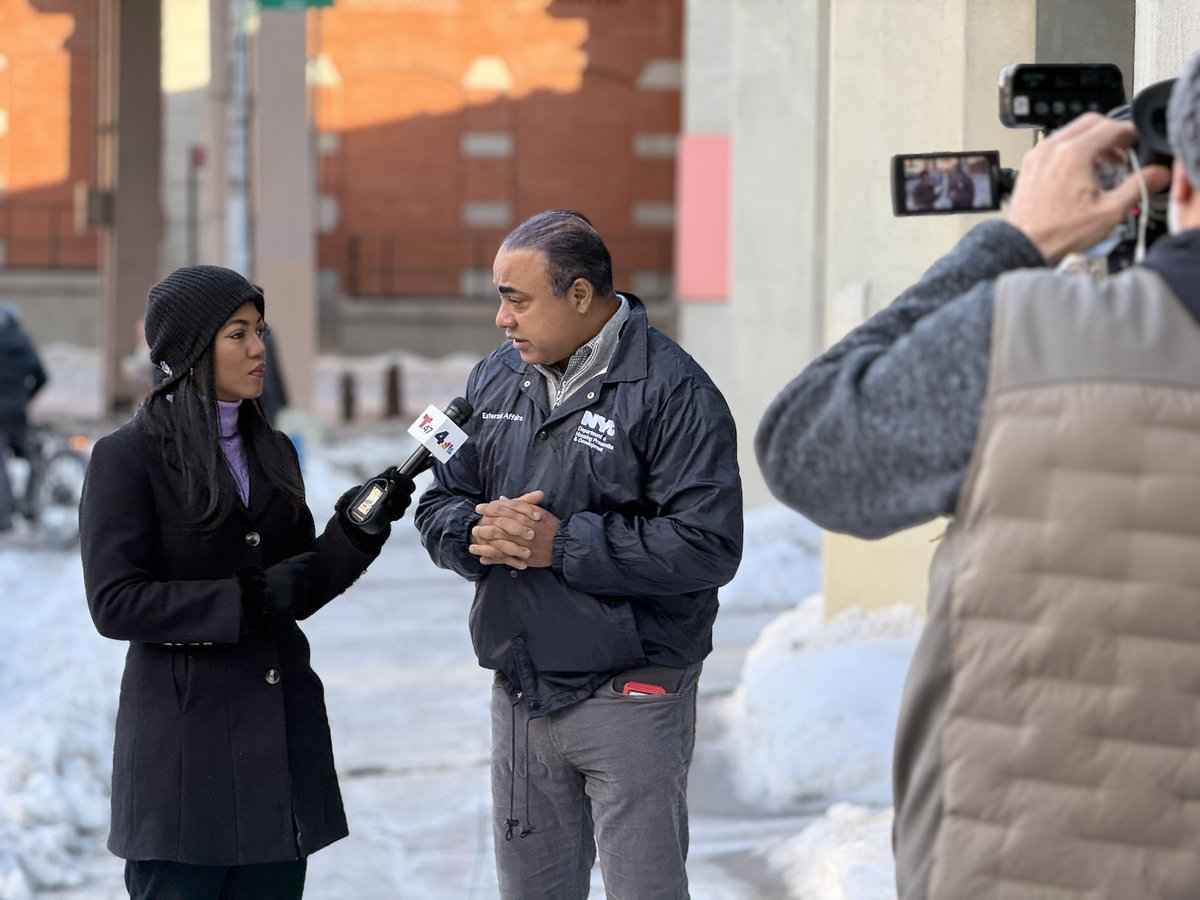
10 am temperatures across the area range from around 8 to 13 degrees. The wind is making it feel like it is 0 to around -5. Make sure to bundle up if you have to head outdoors.
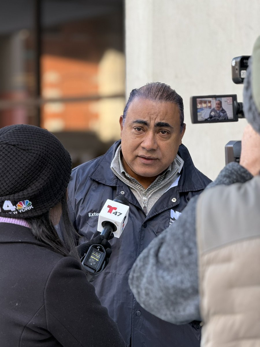
Catch @FernandoA again this afternoon on @Telemundo47 where he shares further tips on getting through these frigid temperatures and navigating building maintenance issues. Stay warm and stay safe.
Winter Storm Warnings continue for entire tri-state area. Winter storm to cause major disruption to transportation & white out conditions Sun into Sun night. Also, prolonged period of frigid air through next week. Here is the link to the latest briefing:
https://t.co/610UeEEOhv
[Key Messages]: A significant winter storm is likely late Saturday night into Monday. Snow may begin late Saturday night with the heaviest snow likely falling Sunday into a portion of Sunday evening. Considerable disruption to transportation and daily life is possible.









![NWSNewYorkNY's tweet photo. [Key Messages]: A significant winter storm is likely late Saturday night into Monday. Snow may begin late Saturday night with the heaviest snow likely falling Sunday into a portion of Sunday evening. Considerable disruption to transportation and daily life is possible. https://t.co/dwRfGcvbxv](https://pbs.twimg.com/media/G_QhU1pWEAAbrck.jpg)


