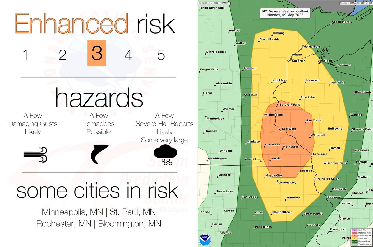
5/9 12:30pm CDT: There is an Enhanced Risk (level 3 of 5) of severe storms across the upper Mississippi Valley region this afternoon and evening. Large hail (some 2+ inch diameter), damaging gusts, and a few tornadoes are all possible. See https://t.co/QMmU4tBZDt for more info.
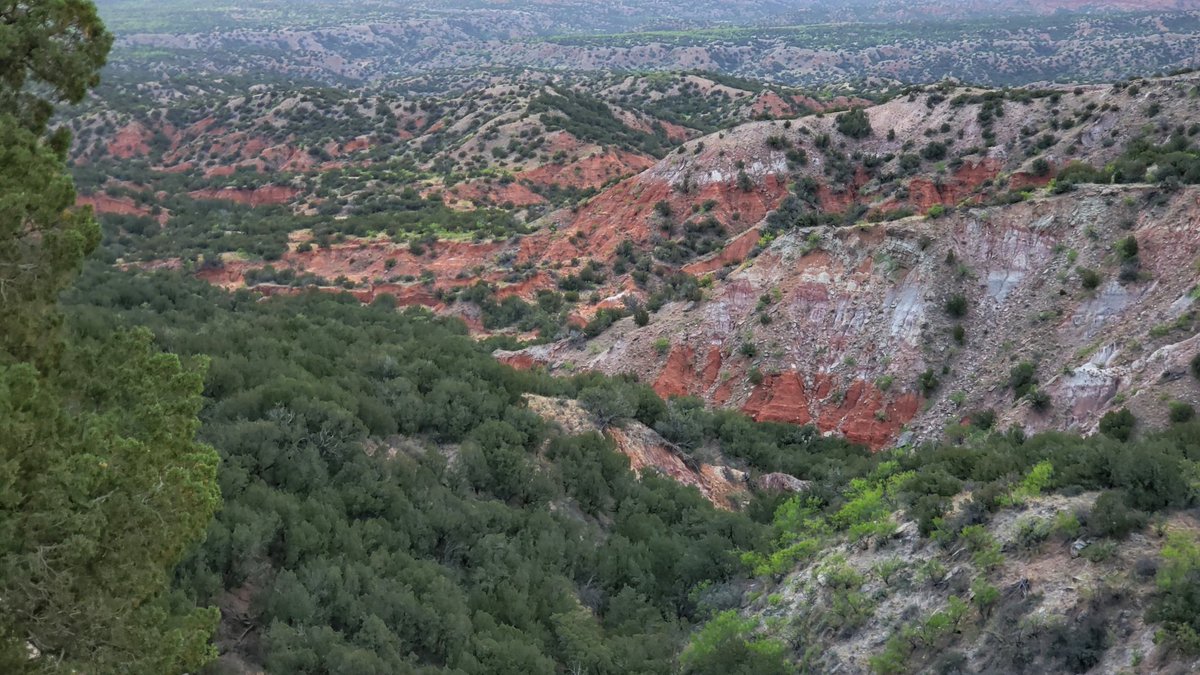
Really awesome layers of smoke in the sky over the Texas panhandle. This smoke originated from a wildfire near Santa Fe, NM. Hoping it sticks around and provides a vivid sunset this evening at Palo Duro Canyon. #txwx
04/28/2022 1:26 PM CDT: Isolated severe thunderstorms are expected across the Plains tomorrow/Friday afternoon. Any storms that develop may produce damaging gusts, 2+ inch hailstones, or significant tornadoes. Please check back for forecast updates at https://t.co/cM2G0CEbkz
Rain across parts of Dixie, and then much colder temperatures and possibly some wintry precipitation for some this weekend. Track the weather using the RadarX app. https://t.co/4kSBE4QBfM
Atlanta has moved into the #2 spot in terms of total yearly rainfall for as long as weather records have been kept. We are only a couple of inches from setting a new record and I think that is definitely doable by Monday. https://t.co/KqF8QDQHZn
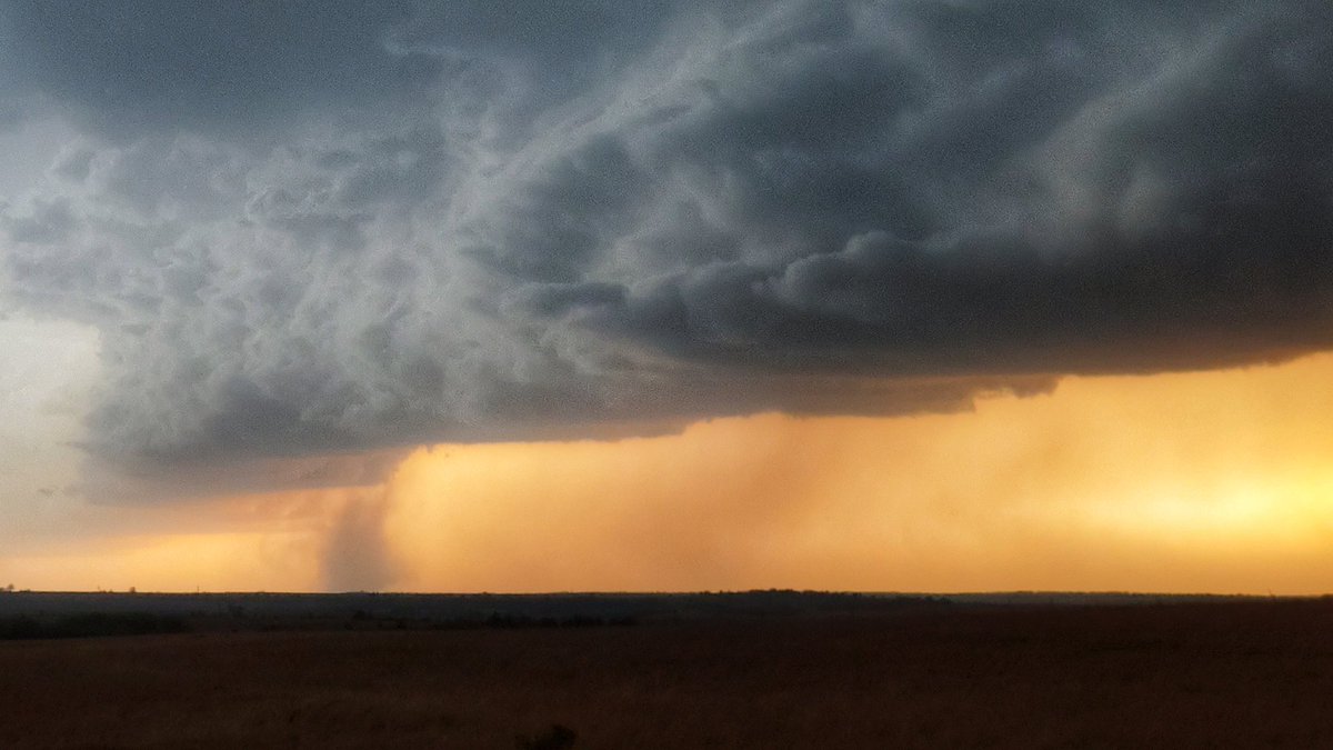
Severe storms are possible for the rest of today and tonight across parts of TX, OK, AR and LA. Stay weather-aware and keep up with location of dangerous storms and all watches and warnings with the RadarX app. https://t.co/JtVrAIC6s0
A big winter storm with heavy snow and severe weather possible just after Christmas and another around New Year’s. Bitter cold arctic air looks likely in the new year as well. Wild weather ahead and the worst of this winter is yet to come. https://t.co/3yd0qN8UBQ