Top engineering service Providers in Drones, Geographical Information System (GIS) services and Engineering Survey Services. Contact us: [email protected]
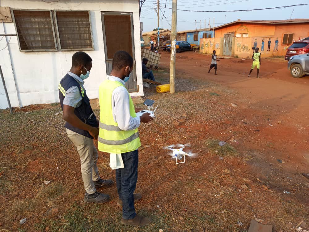
Survey works using drones provide an added advantage and faster data acquisition for our client in urban planning, construction, Mining, Agricultural, etc for data driven decision making analysis . Call us today for all your drone and survey works.#bestiswithus
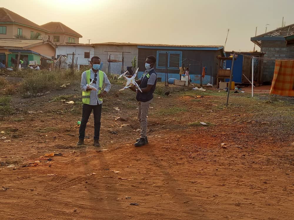
Over the week, our team has been on the field for Drone Data collection for Aerial Maps, Aerial Videos and DTM for our client MTK Surveys and Engineering Limited. #engineering#aerialphotography#aerialsurveys
Join the Program Manager of #Facebook@eneerhut on the 15th of this month as he walks us through
Topic: Introduction to Using @Mapillary with #OSM
Join using the link below!
https://t.co/hvkHXooYoG
Join @essuanlive
and @teyvi tomorrow as part of @OSMGhana
Webinar series towards #mappinaccrainthreemonths
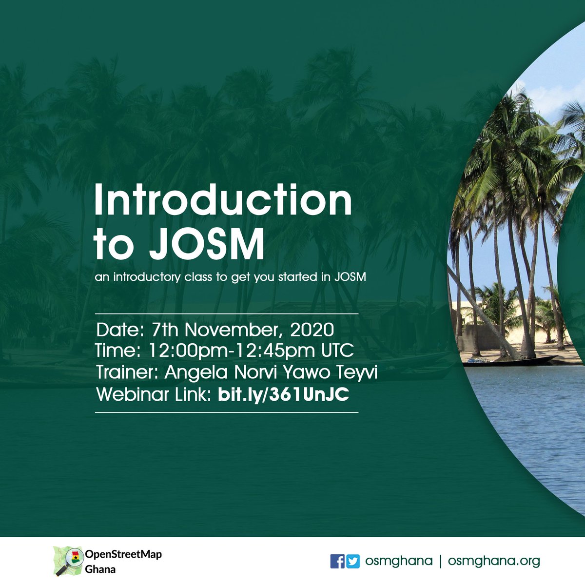
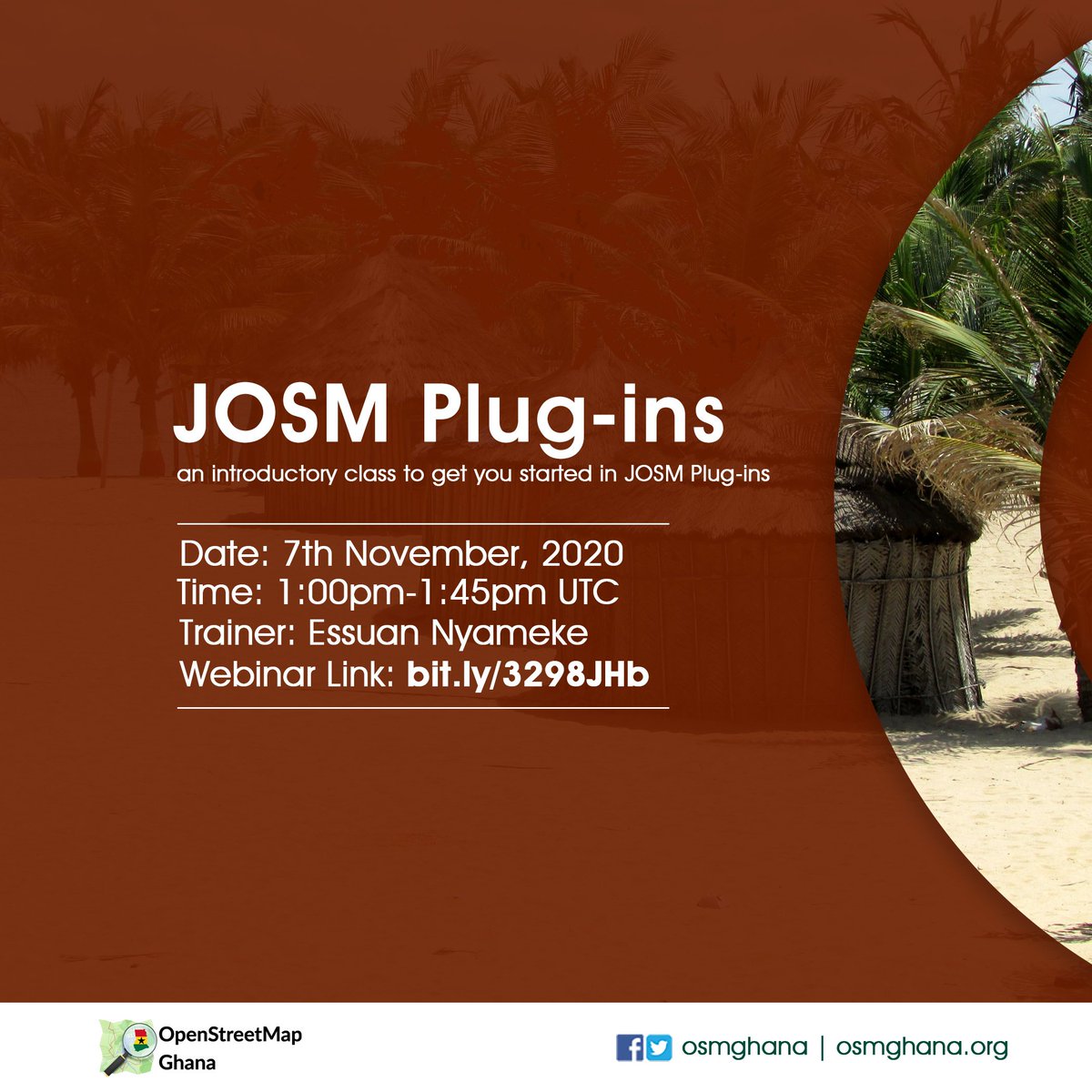
Topic: Introductory lessons on JOSM and JOSM Plug-ins
7th Nov, 2020 12:00PM UTC and 1:00PM UTC respectively.
https://t.co/2nRk8kA9pf
https://t.co/Hzy77CyZcc
You are invited to @OSMGhana webinar series this weekend as @Essuanlive
and @teyviangela take us through;
Topic: Introductory lessons on JOSM and JOSM Plug-ins
When: 7th Nov, 2020 12:00PM UTC and 1:00PM UTC respectively.
Join via:
https://t.co/2nRk8kA9pf
Virtual Ghana Business Summit is scheduled for 30th October at 8 am sharp. The theme for this summit is "IMPACT OF COVID-19 ON BUSINESS SUSTAINABILITY:A REVIEW OF BIG BUSINESSES AND START UPS".
#GhanaBusinessAwards2020
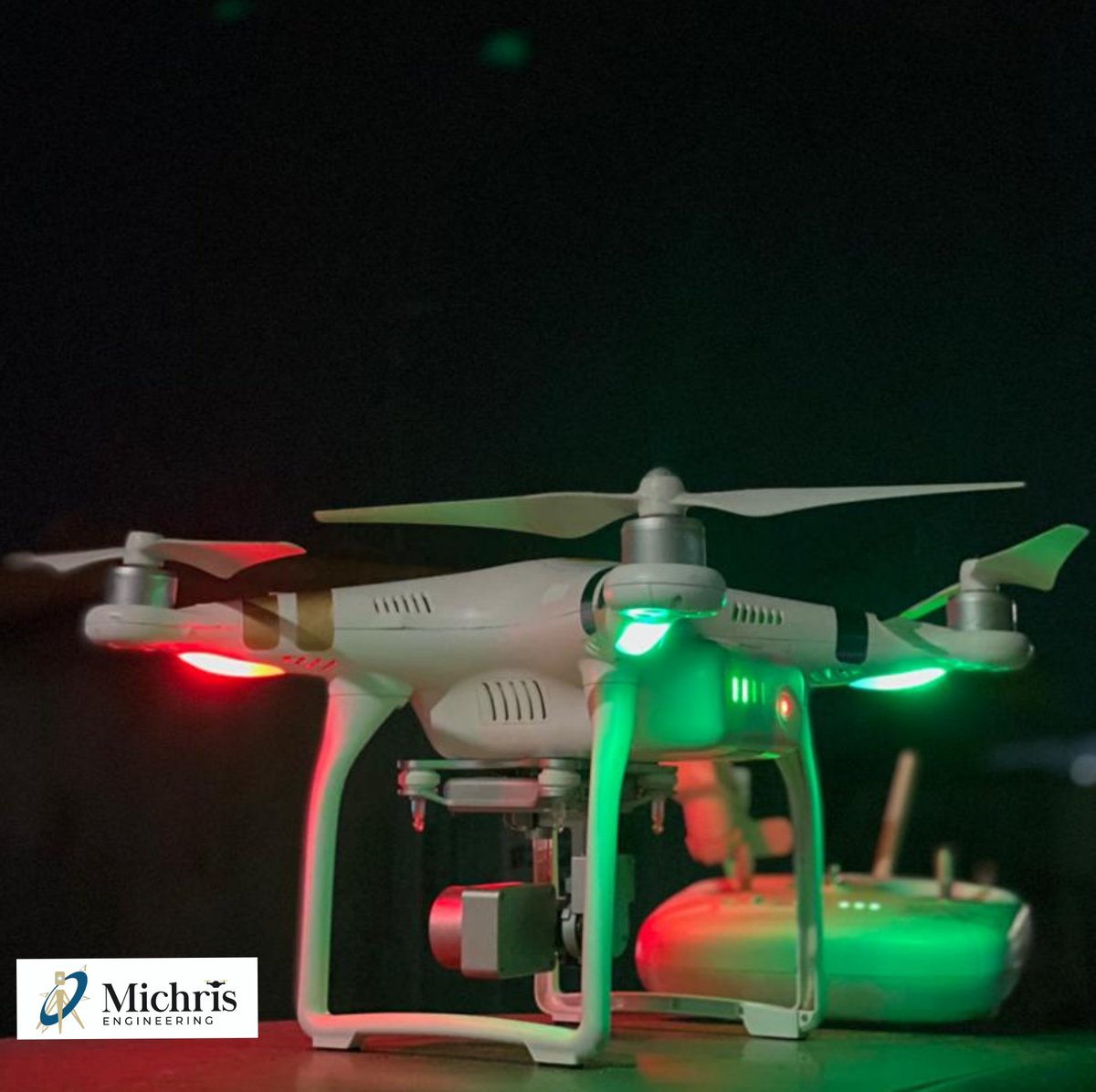
Top story: @Michriseng: 'For your Aerial monitoring, Mapping, 3D mapping, project monitoring and more. Contact Us for the best drone services. #drones#aerialphotography#GIS ', see more https://t.co/LSVQ4PfwSv
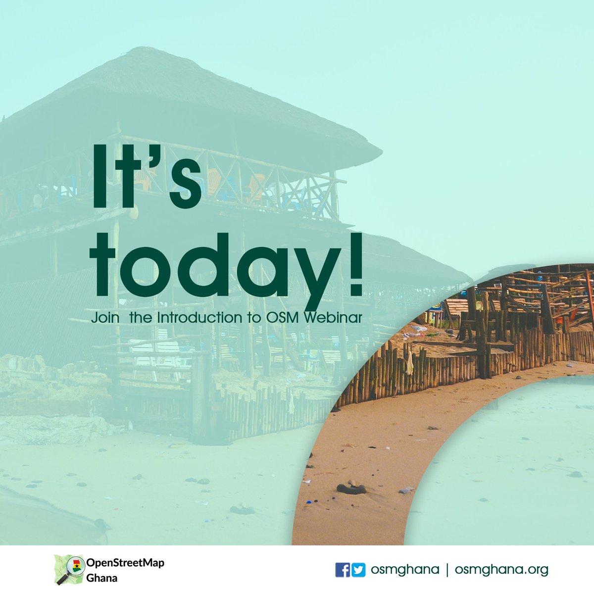
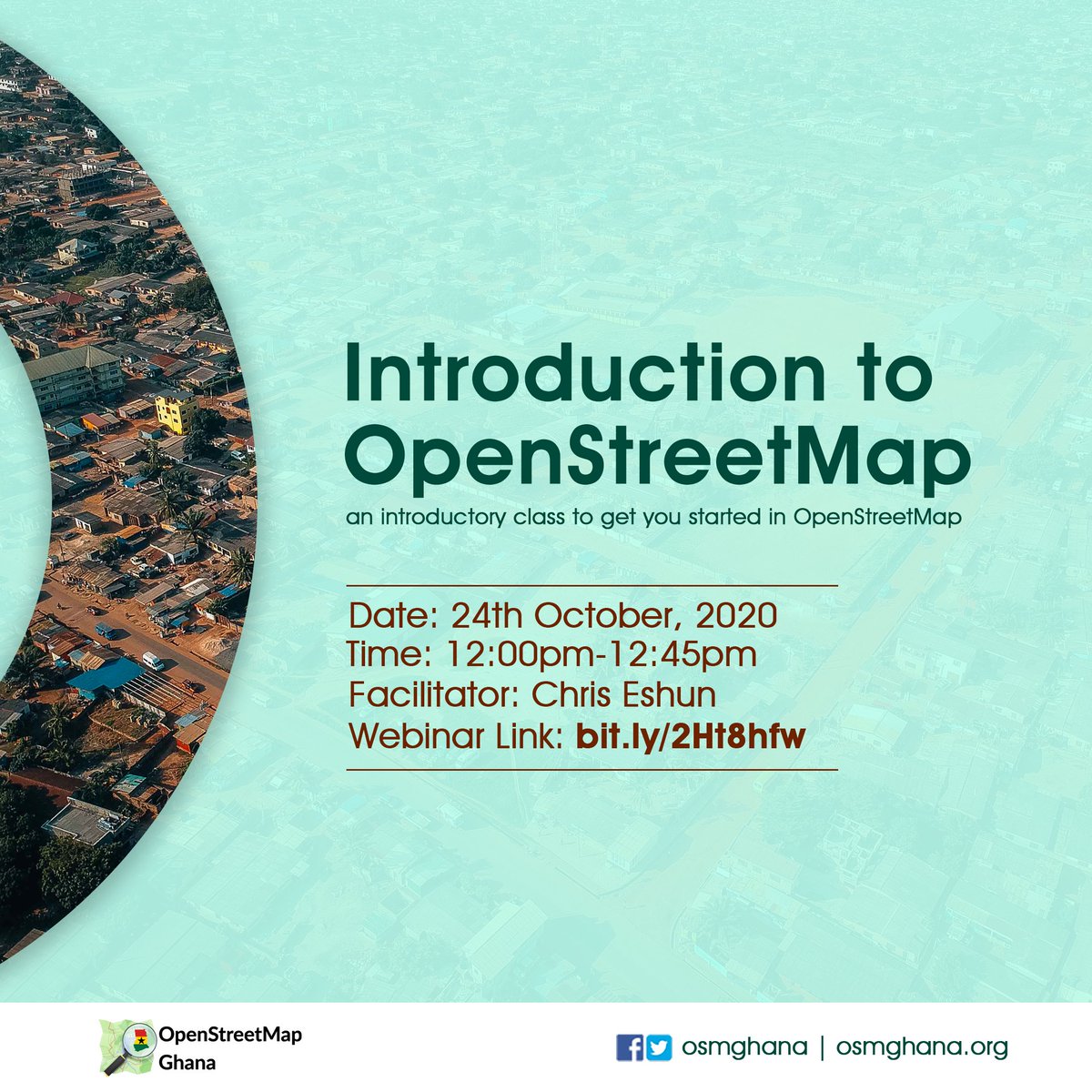
The introduction to OSM Webinar is today...!💃💃
12:00PM GMT sharp Via https://t.co/7PA22K5BYW
Let's catch up soon to learn and network in a fun-filled moment with our able facilitator @ChrisEshun4 🙌
#Introductiontoosm
Join us tomorrow at 12:00 GMT as @ChrisEshun4 takes us through how #osm works, how you can #contribute and how useful it's data wealth is in #map creation
Beginners, intermediate and advanced mappers are welcome as we prepare towards the ultimate task #mappingaccrain3months
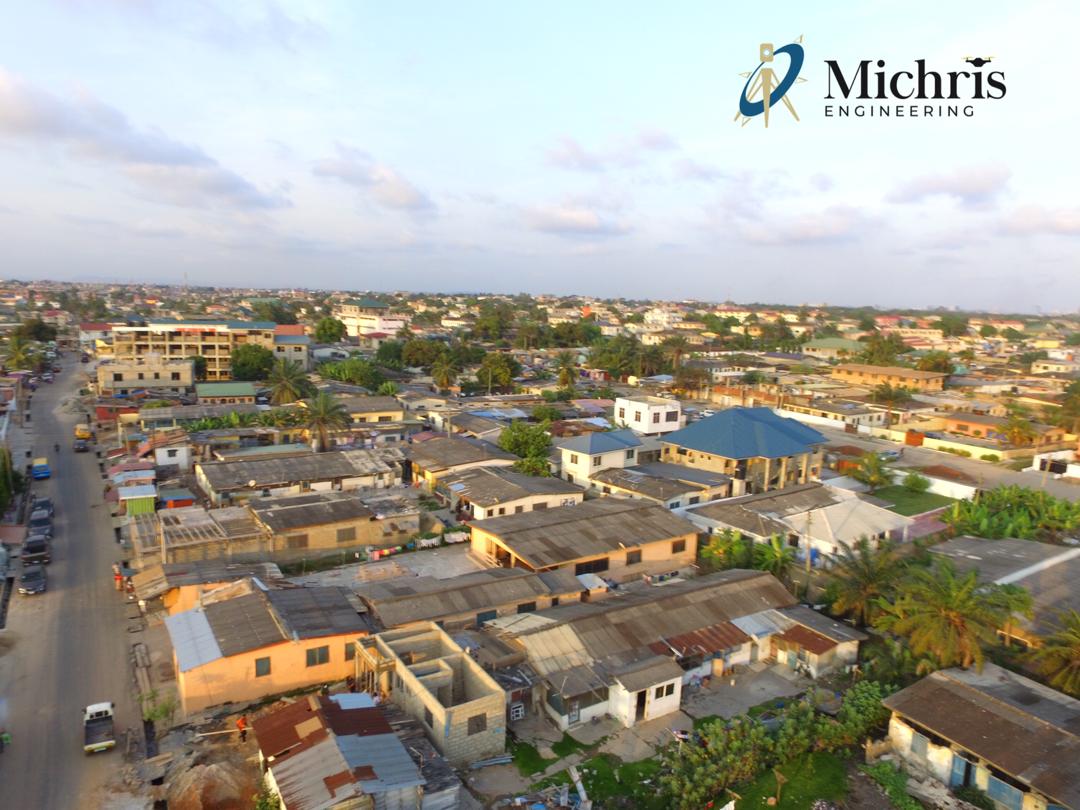
3D City Model from Drone Data. Drones are proving added advantage for data driven decision making. Flood simulations and models can be built with such data to help make our areas resilient to floods
@codemickey78@OSMGhana@ChrisEshun4#drone#3DModel#accraflooding