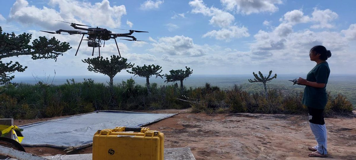
New work out led by @mirodemol and @SylveraCarbon colleagues showing Mozambican miombo woodlands contain 1.5 - 2.2 x more C than previously thought. Study uses new multiscale approach w census, terrestrial, UAV and 50 kha airborne lidar. OA https://t.co/yZOJTbf5Le
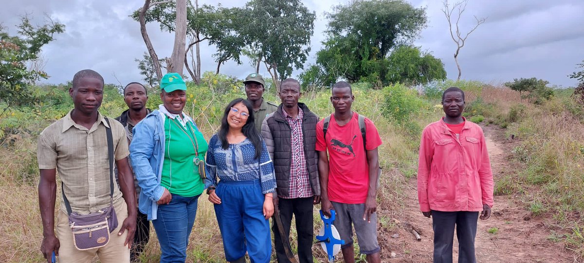
Presentamos los resultados de nuestra campaña de campo en #Mozambique - #África.
En este paper se muestra como los #miombos africanos contienen más carbono que lo pensado gracias al uso de #lidar a multiescala usando #drones y #helicópteros.
Link: https://t.co/V4d9x62GE6
Vacancy!
Join our team as a postdoctoral fellow (2yr position) on our newly funded @FWOVlaanderen project with @LouiseTerrynn and @shaunlevick!
Info: https://t.co/8SUQ1n91rK
Apply by Feb 9: https://t.co/KKC9opN4tb
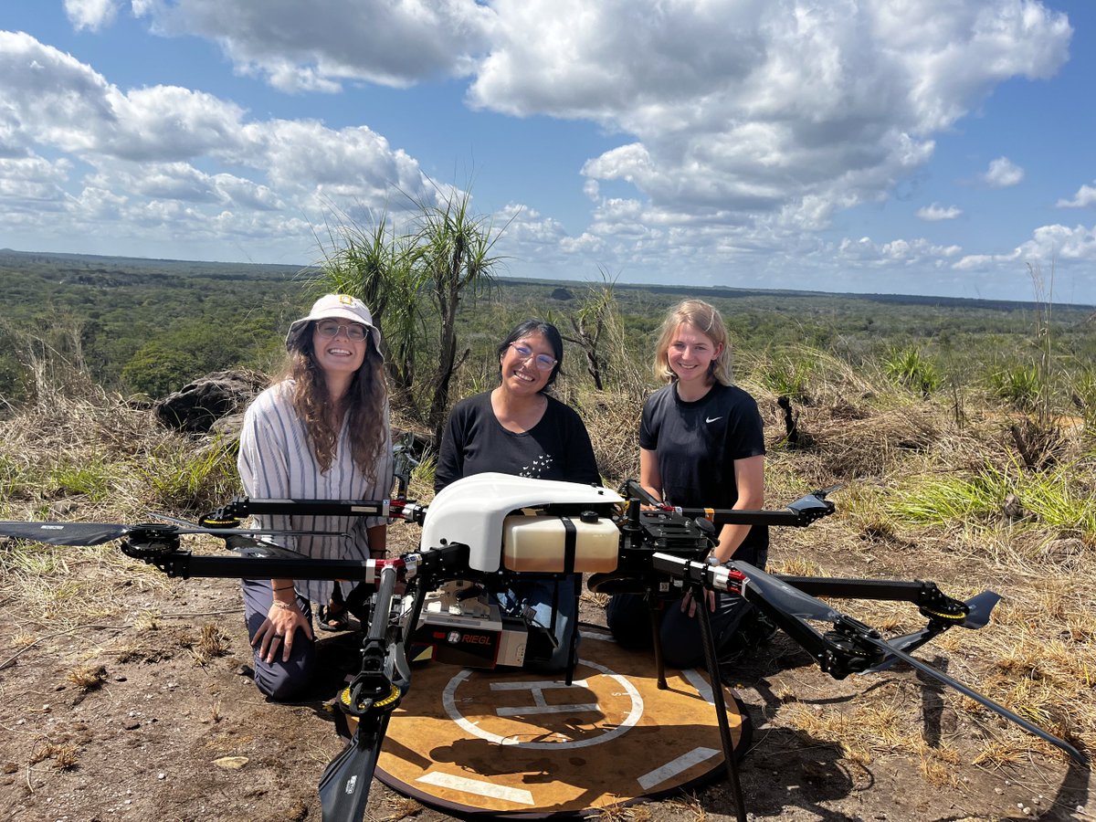
Read what we've been up to last year or so with @SylveraCarbon's lidar team 👇
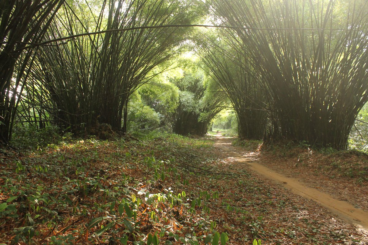
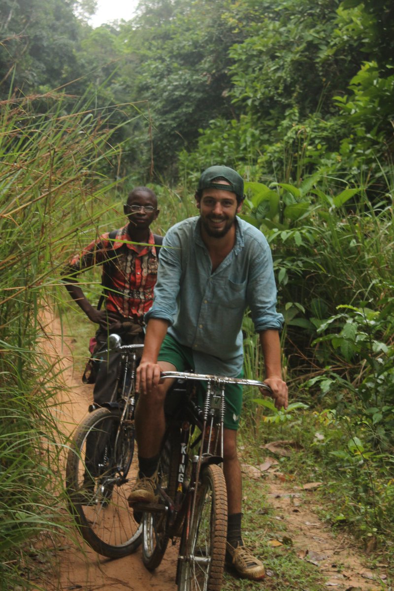
Also stunning pictures taken by my colleagues Tom and Annabel 🤩
https://t.co/L0SzCIZyhx
.@beisitluz of @sylveracarbon uses drones to collect first-of-their-kind lidar data across thousands of hectares of forests (up to 15,000 pts/m2), to map carbon stocks in Gile National Reserve, Mozambique. https://t.co/uu3lNyrnlG #WomeninDronesWednesday
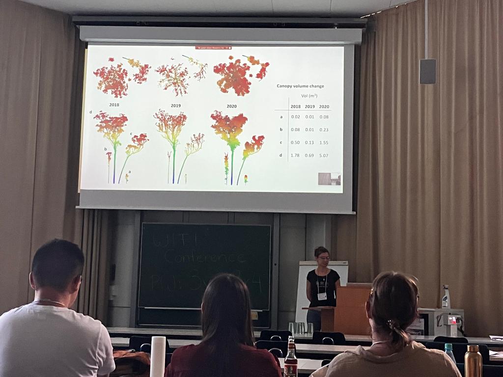
Linking changes in tree structure to ecosystem function?
It's been great to finally attend a conference in person. So greatful to the team at #ForestSAT2022 for hosting last minute and well done,
especially considering the short time frame!
@RIELresearch@CDUni
We spent an inspiring week at @ForestSAT among researchers presenting the latest tech and ideas in forest spatial analyses. With @SylveraCarbon we had the chance to present our multi-scale lidar work to a critical audience 🧐 and discuss drones, ML, GEDI cal/val,...
🌳 Forest or faux-ist? Does this look like an aerial photo of a rainforest? It's actually a 3D LiDAR scan of forest canopy, taken by our field team on a trip to Peru. We capture LiDAR data to train our machine learning models to estimate forest biomass with unprecedented accuracy
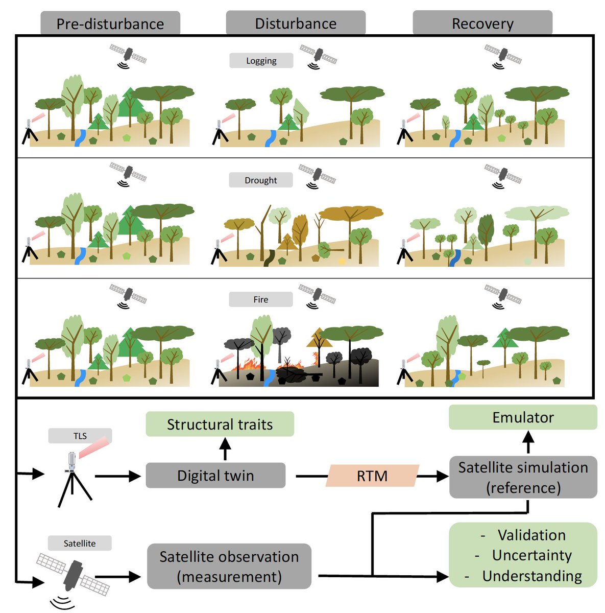
I'm hiring a team of 3 PhD students on my @ERC_Research SPACETWIN.
Topics are related to:
1) Forest Ecology & terrestrial laser scanning
2) Remote Sensing & radiative transfer modelling
3) Computer Science & Artificial intelligence
➡️ https://t.co/uM5XHqhOQm
Deadline August 20
@nissen_bodil @IITA_CGIAR There is no input of fertiliser and pesticides whatsoever in the landscape. Cultivation of cassava and other crops is only for subsistence, no infrastructure to get produce out of the region. Improvements mainly for resistance against mosaic virus and bigger tubers.
Very happy that our paper on improved cassava agriculture for reducing deforestation in DR Congo is out.
What were our main findings?
https://t.co/5AtiXaGNKO