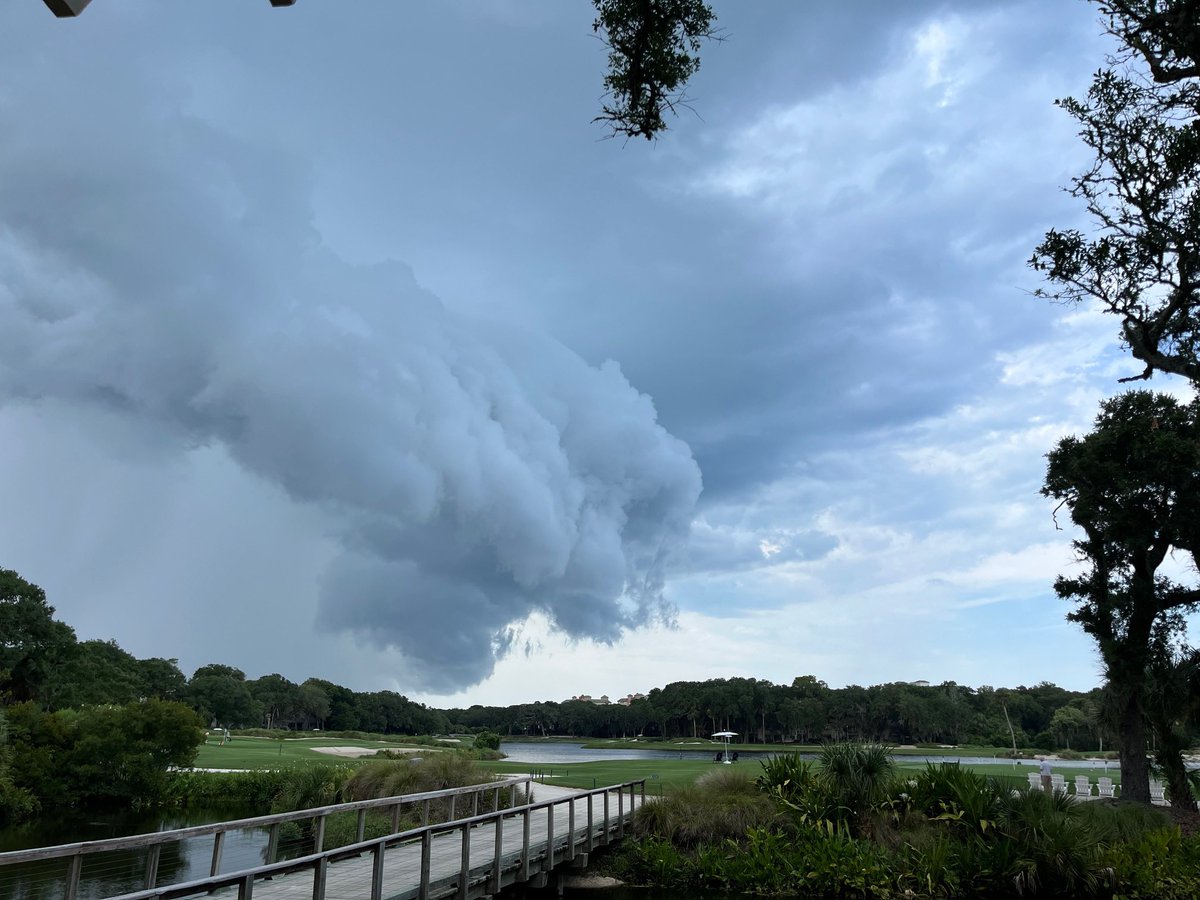
⛈️A squall line of strong to severe storms will move eastward across our region this afternoon and early this evening
💨 Isolated severe storms will be capable of producing damaging wind gusts
🌪️Isolated tornadoes will be possible north of I-10
#flwx#gawx#jaxwx@JaxReady
still dreaming about the Georgia country music fest when @kathasty pointed at me in the crowd and I pointed her on stage and I was screaming my lungs out. it’s literally a core memory now. happy Tuesday
🌀 Hurricane Idalia 5 AM EDT 8/29 Update
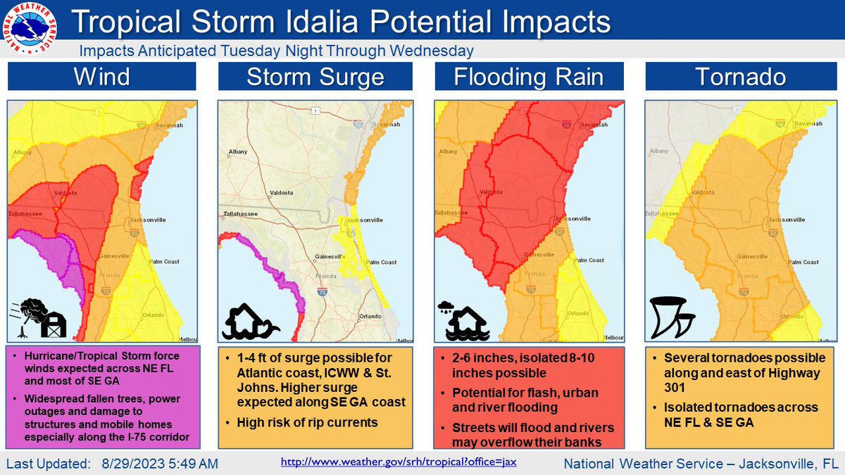
Areas along I-75 are under a Hurricane Warning, and the rest of NE FL & SE GA now under a Tropical Storm Warning.
Hurricane/Tropical Storm Warnings mean that Hurricane/Tropical Storm conditions are expected within the next 36 hours.
Today is a big day for #Idalia
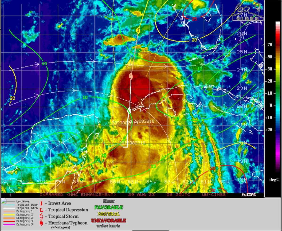
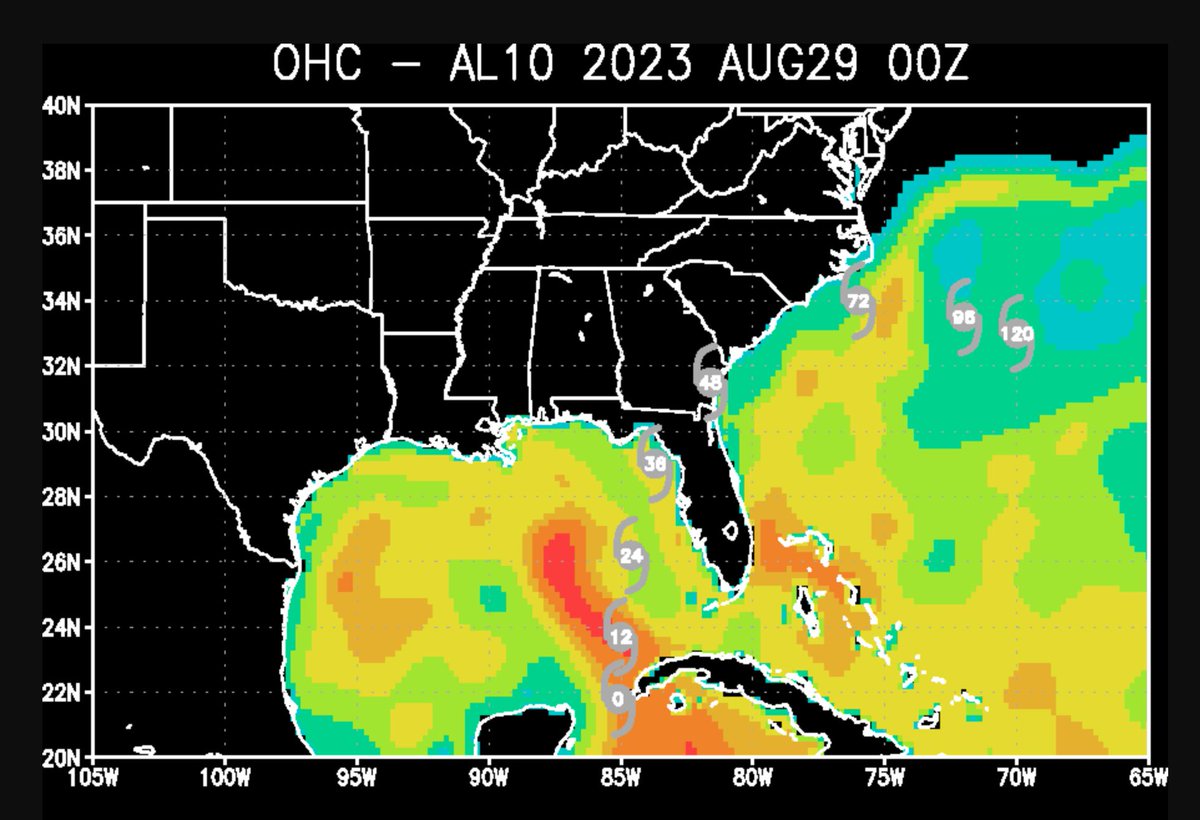
High ocean heat content and lighter shear is expected to allow the storm to develop further today with a forecast of major hurricane at landfall continueing from NHC at this time of this tweet. This is forecast by many dynamic models so if this isn't real for you yet it should be soon. There is still some potential fine tuning of track, but inland areas like Lake City and others could see hurricane conditions depending on where it goes. This will be a major storm surge event for the big bend with the potential for 8-12 FEET of surge in spots!
Truth be told we have a stronger #Idalia than what we thought we would have at this time yesterday morning. NHC has noted this and also stated it could be close to a major hurricane at landfall. There may be a hair of shear this morning but Idalia is expected to be a hurricane later today. Listen to key messages from emergency managers from Florida to the southeast coast, and as I stated yesterday a stronger storm coming into Florida will likely lead to a stronger one coming out.