All Severn Partnership UAV survey are completed with safety as priority! 👷🏻♂️👮🏻♂️ Our PfCO allows us undertake commercial UAV surveys #UAV#dronesafe#drone#surveylife
A wonderful testimonial from a project we are very pleased to share with you. In our clients words, the project "..successfully lead to greater efficiencies & cost savings for us and our clients." https://t.co/3Pa897jIHm
Saving #CostCarbonCasulaties#MobileMapping#GPR#Highways
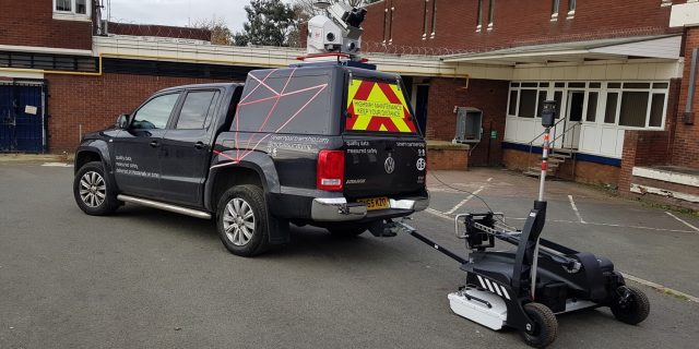
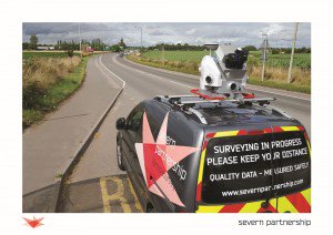
Mobile Mapping involves a mobile platform that instruments sit upon allowing data collection on a moving vehicle. Through reducing Cost Carbon & Casualties the benefits are many Learn more: https://t.co/fVbBqRZmCE #mobilemapping#CostCarbonCasulaties#Realitycapture#surveyors
So why choose Mobile Mapping? Compared to traditional #surveying its 10 x faster, generates significant cost savings and gathering 1 million points & 200 profiles ps its undoubtedly better. Learn more here https://t.co/fVbBqRZmCE #mobilemapping#pointcloud#laserscanning#HWYSUK
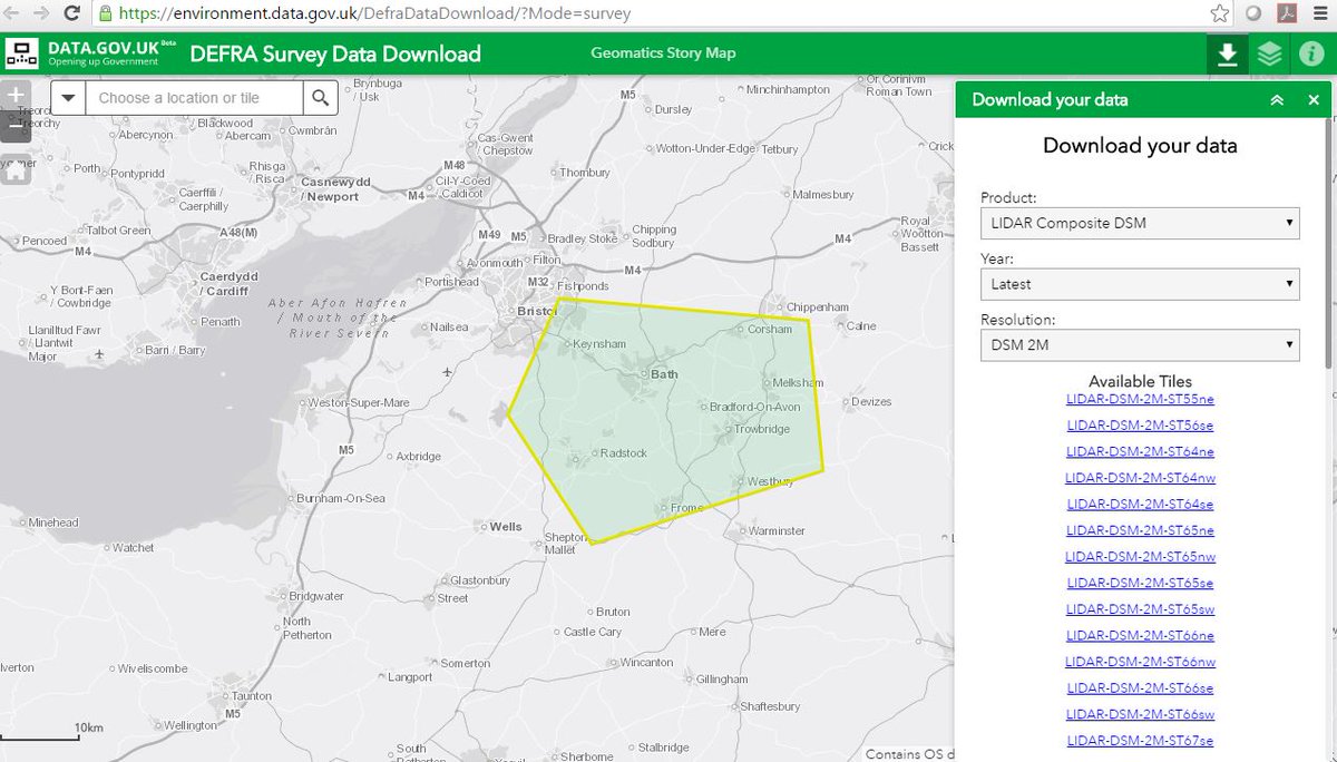
Survey open data has moved! Defra have launched a new platform for accessing #opendata. Our #LIDAR and other survey data can now be downloaded here https://t.co/QX1g6Ewsyt @dataenvagency
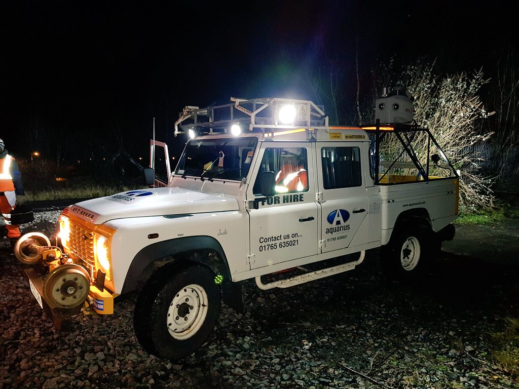
Fresh back from 10 days on the continent, straight back on site. #Rail this time, the second of two key shifts planned 9 weeks in advance saving months of boots on the ground
Thanks @AquariusRail for being proactive and modifying the brackets!👍
https://t.co/CyyWXZ8GcH
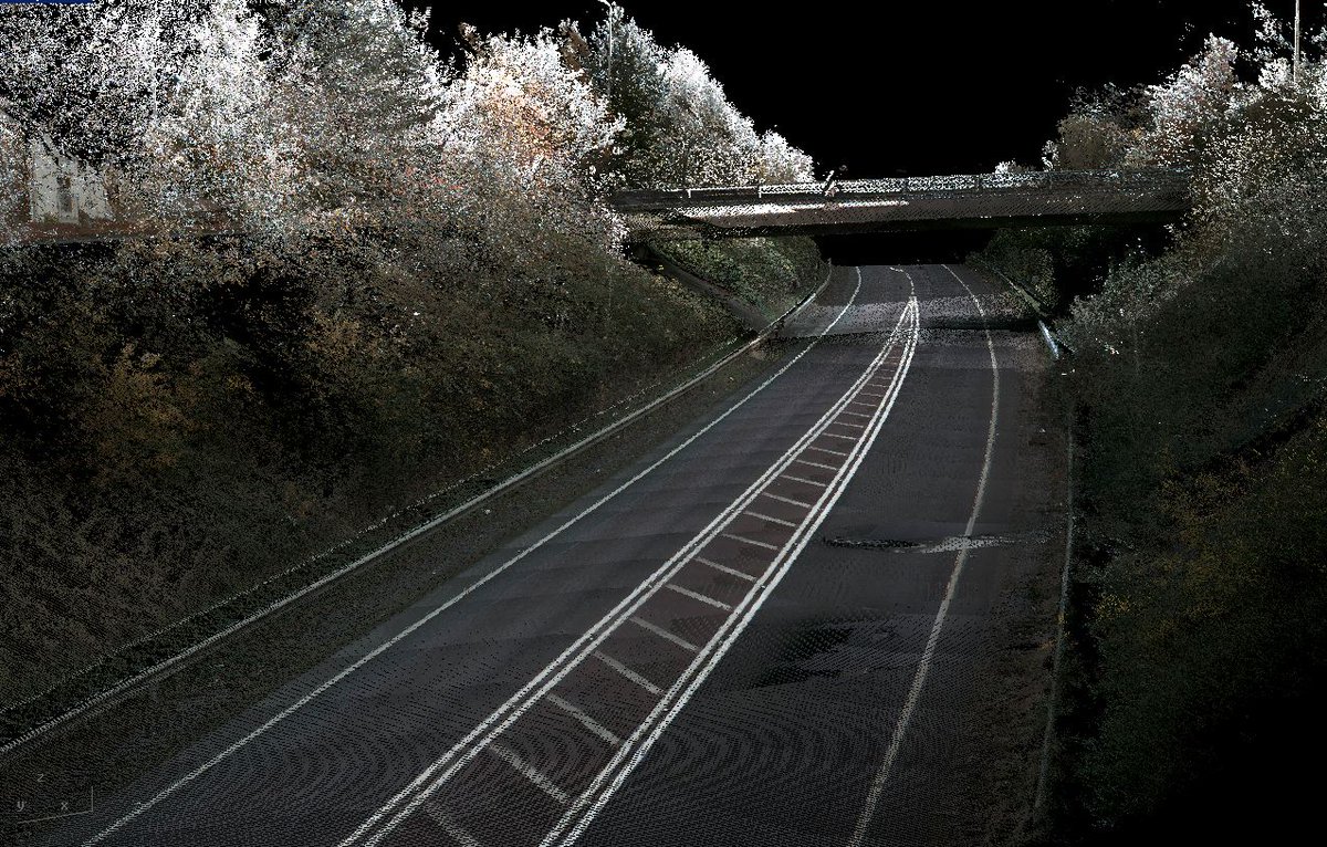
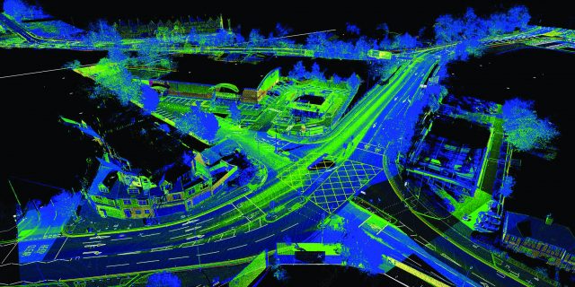
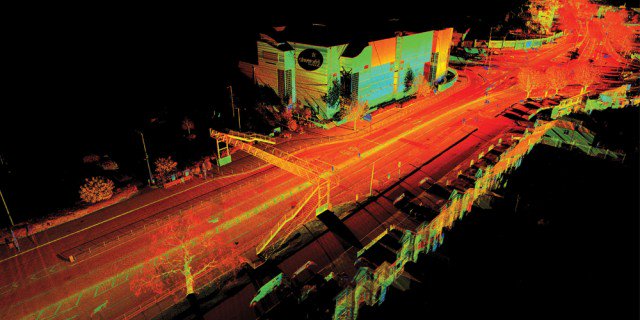
When what you see is what you measure, #accuracy is paramount. Rely on #mobilemapping from @SPartnership to minimise cost, shorten works programme & reduce safety risk whilst maximising value. More here: https://t.co/PklK6POx47 #innovation
Severn Partnership will enable you to manage, model & #visualise your #assets with our innovative #MobileMapping service. See it in action here: https://t.co/PklK6POx47