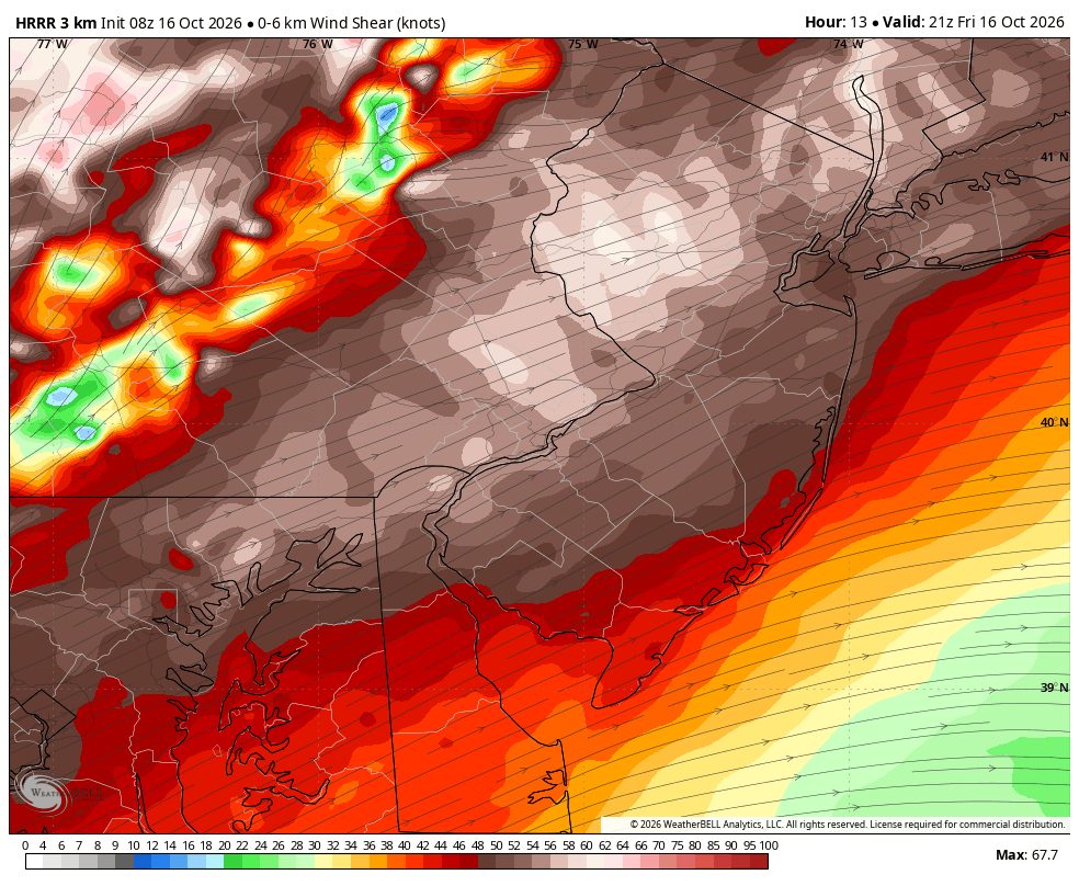
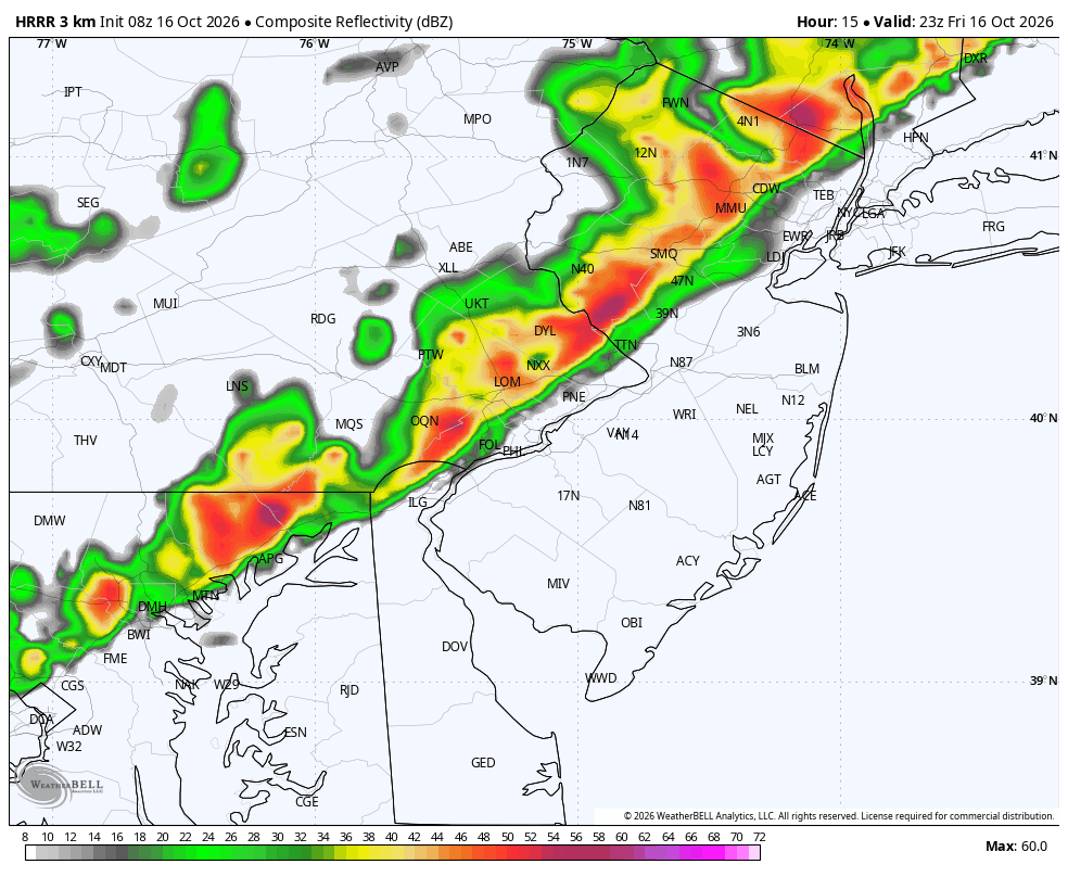
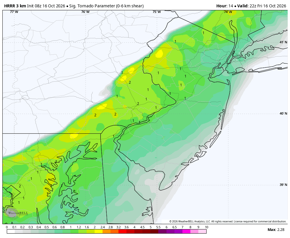
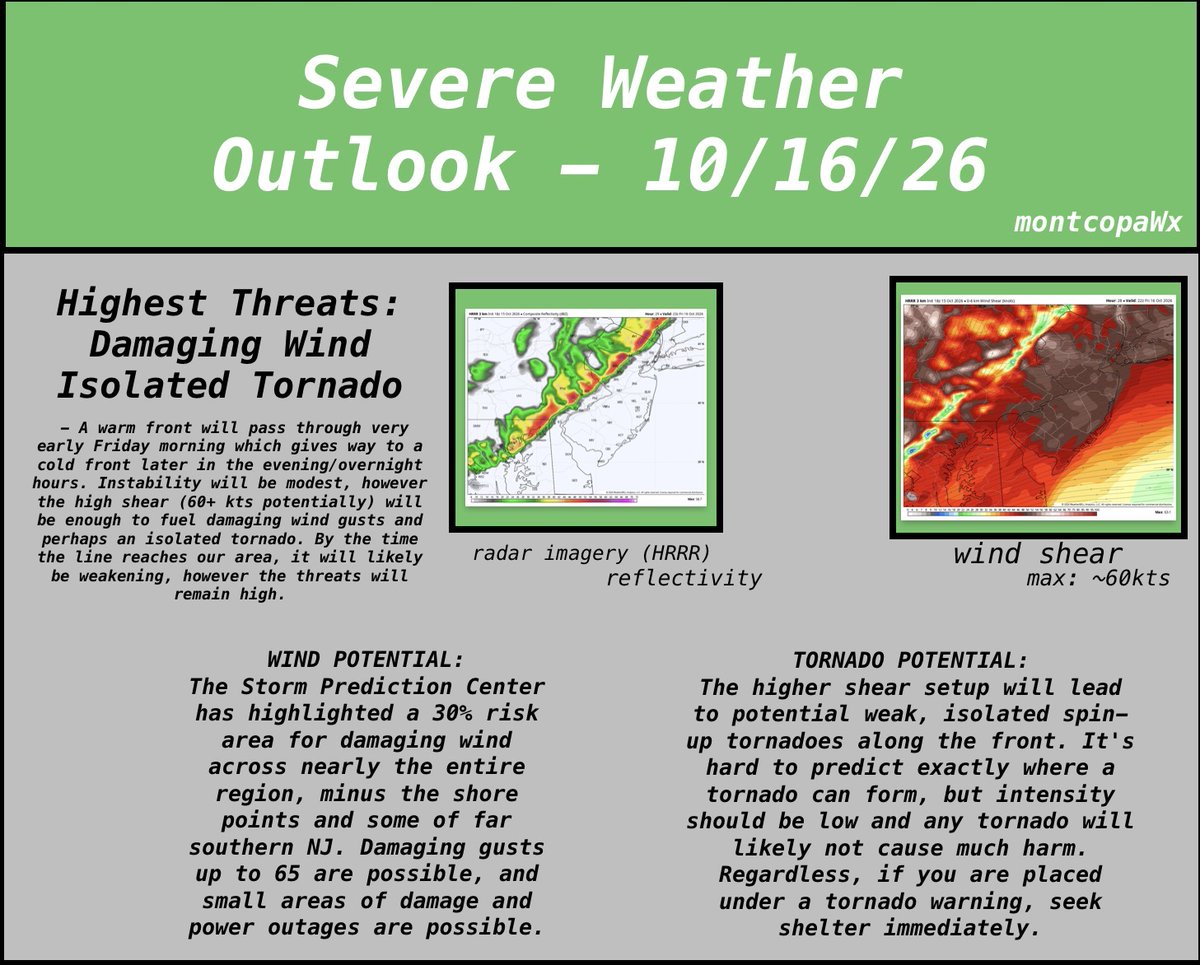
Quick morning update: Both main hazards remain in place. Expected plan is still to have a squall line and associated cold front move through this evening, which can bring locally damaging wind gusts throughout the region. High shear helps a potential spin-up as well.
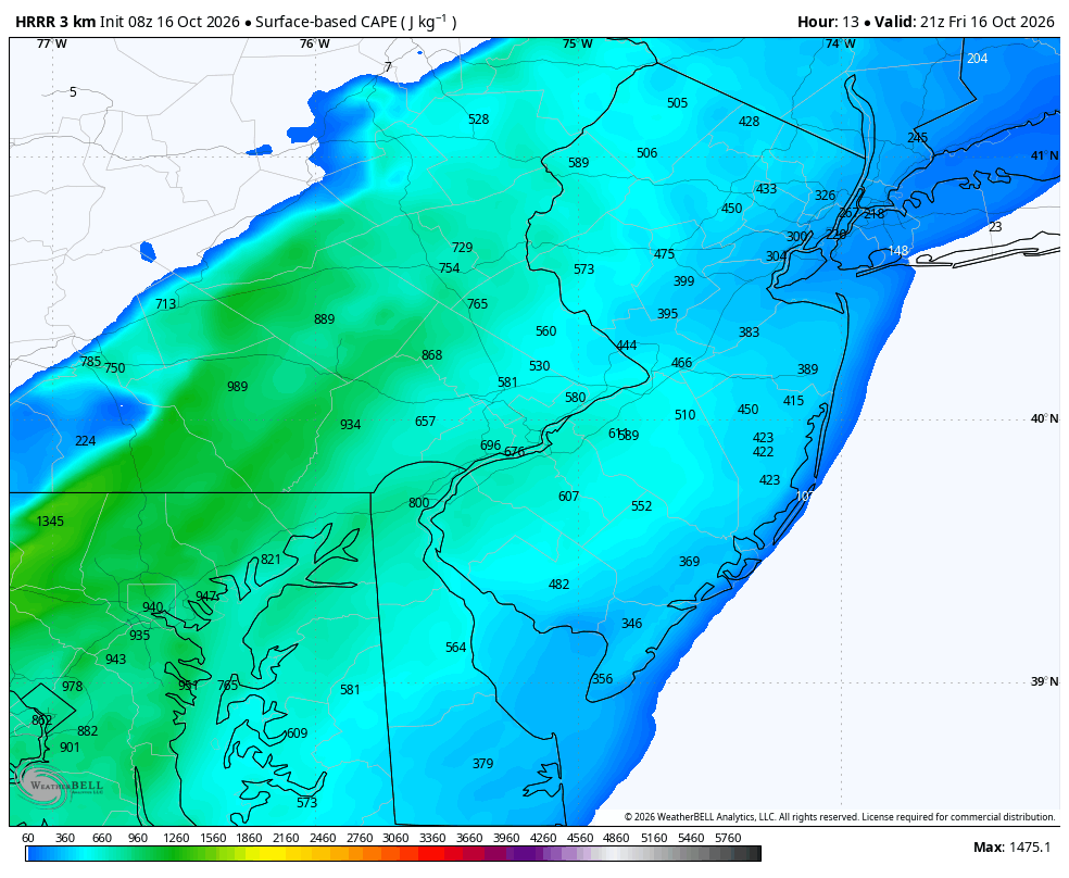
SUMMARY: A cold front will move through the region tomorrow evening into the overnight hours, bringing damaging wind potential, as well as a small chance for a tornado. Instability is not too great, however the high shear will help aid that damaging gust potential.
Very clean inflow on the southern side. You can see the low level flow getting drawn on from the SE. this will continue to pose a risk for a spin up. However flash flood risk is looking as the primary threat.
Severe Thunderstorm Watch #630 up for the area. Don't know how the rest of the day will go with the clouds and current convection, however it seems like damaging winds and hail are still possible. I see a greater flood threat over severe threat at the moment
Would also like to highlight the morning convection: Models are back and forth on it. HRRR has it gone by 10, while the NAM and RRFS keep it the entire day. That can completely make or break tomorrow’s event
Morning update for today: Looks like a strong cold front will move across the region tonight and could have some significant impacts. Damaging winds and a possible tornado seem most likely. There is also potential for supercell formation ahead of the front. Will update later.
@SeanGreeneWDEL@NWS_MountHolly These warnings are currently being issued by a neighboring office that isn't using autofill, so it's like they are typing these out by hand and also creating the polygons by hand, so the parts in new castle are counted. Usually with the autofill it would be ignored
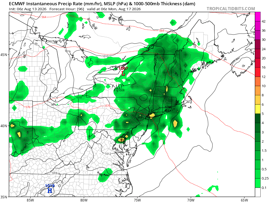
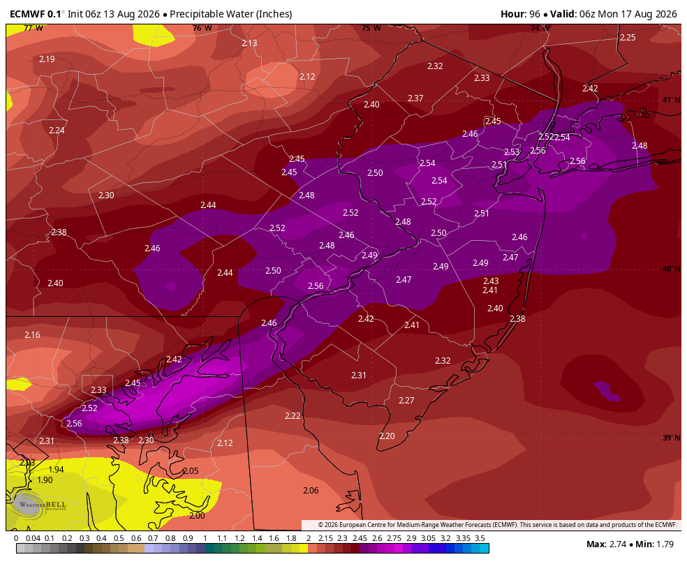
as well as the severe risk for sunday, the flooding risk may be higher. this time it looks to be on the higher end, with PWAT values of 2.4+, which is very high for our area. obviously will need to see how this progresses but could be a high impact flooding day