'NEWS FIVE' FROM SPACE 🛰️🌏
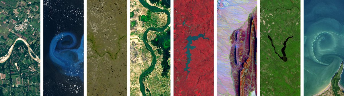
Inilunsad ng NASA ang "Your Name in Landsat" website kung saan maaaring i-spell ang anumang pangalan sa pamamagitan ng iba't ibang satellite images na nakuhanan sa Earth.
Nakuhanan ng Landsat satellite ng NASA and U.S. Geological Survey (USGS) ang mga litrato sa loob ng mahigit 50 taon.
Bisitahin ang website sa: https://t.co/IXxZ8IK2OP
'NEWS FIVE' FROM SPACE 🛰️🌏
Inilunsad ng NASA ang "Your Name in Landsat" website kung saan maaaring i-spell ang anumang pangalan sa pamamagitan ng iba't ibang satellite images na nakuhanan sa Earth.
Nakuhanan ng Landsat satellite ng NASA and U.S. Geological Survey (USGS) ang mga litrato sa loob ng mahigit 50 taon.
Bisitahin ang website sa: https://t.co/IXxZ8IK2OP
NASA, or the National Aeronautics and Space Administration, has launched an initiative called ‘Your Name in Landsat’ as part of their Landsat programme to help pique interest in geological and space science
Here’s how to check it: https://t.co/P7ReXcK6rD
NASA, or the National Aeronautics and Space Administration, has launched an initiative called ‘Your Name in Landsat’ as part of their Landsat programme to help pique interest in geological and space science
Here’s how to check it: https://t.co/P7ReXcK6rD
NASA unveils a new interactive feature, "Your Name in Landsat," allowing users to see their names spelled out in satellite imagery.
Here's the full story: https://t.co/UFFZMVPrSd
NASA unveils a new interactive feature, "Your Name in Landsat," allowing users to see their names spelled out in satellite imagery.
Here's the full story: https://t.co/UFFZMVPrSd
This stunning natural colour image of Eleuthera Island, the Bahamas, was taken by Landsat 9
Between Landsat 8 and Landsat 9, the Landsat program delivers complete coverage of the Earth’s surface every eight days!
(Credit: Michelle Bouchard using Landsat data from USGS)