Nepal warns a lake has broken its banks, and China suspends flood rescue efforts near its border over 'real possibility' of secondary disaster. Follow live updates: https://t.co/qA9un3Wxqc
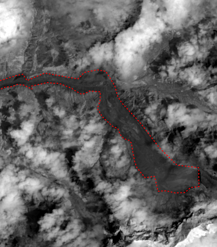
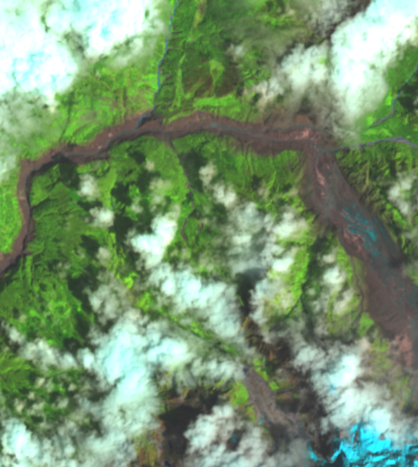
New imagery from @vantortech confirms that the China-Nepal Rasuwagadhi border crossing has been completely destroyed, with the glacial flood completely scouring the valley floor.
At least 359 people are dead and nearly 1,000 missing, according to local authorities.
Data here is representative of the distance water reached *above* the river channel, which can be a rough estimation of depth. However, water velocity (especially around tight corners) can run up a slope a long way in excess of true depth.
Along the upper reaches of the flood channel, actual floodwater depth of ~100m (300 ft) seems likely.
Terrain analysis in the Nepal flood channel shows the flood surge may have been *500 METERS* high (1500 ft) in places, and 80 - 100m deep at the border crossing. #NepalFlood
Preliminary analysis using Landsat 9 images and SRTM Terrain data with a rough flood extent.