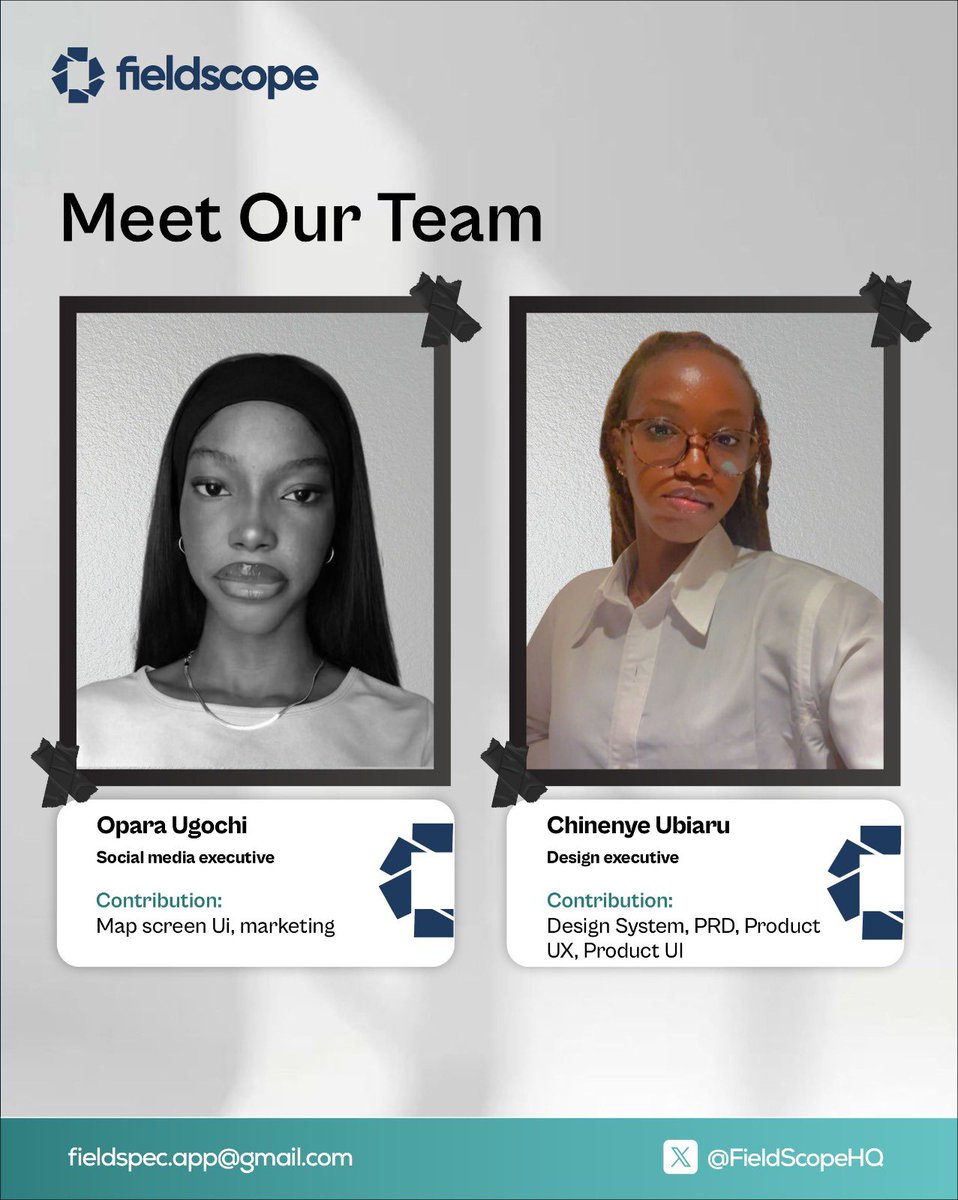
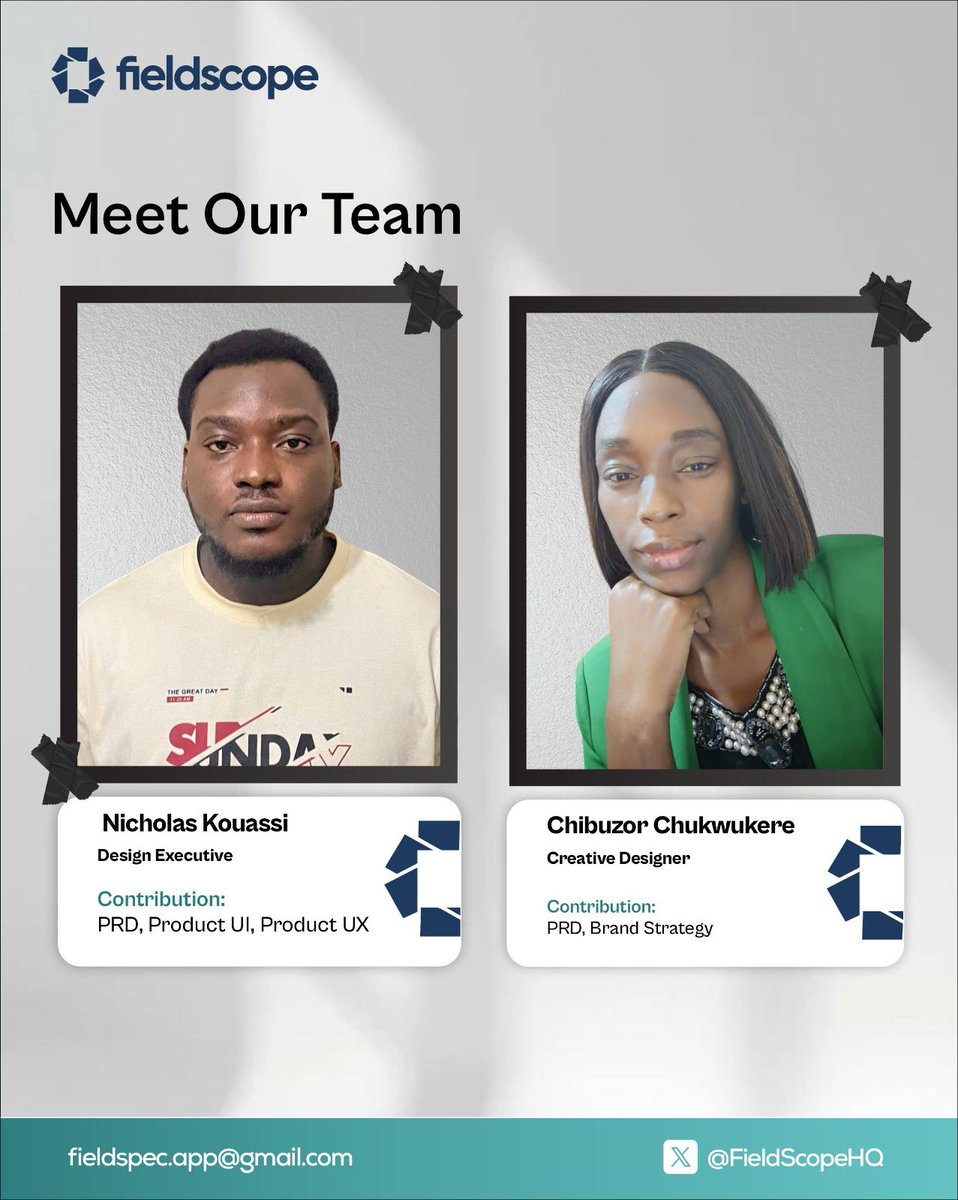
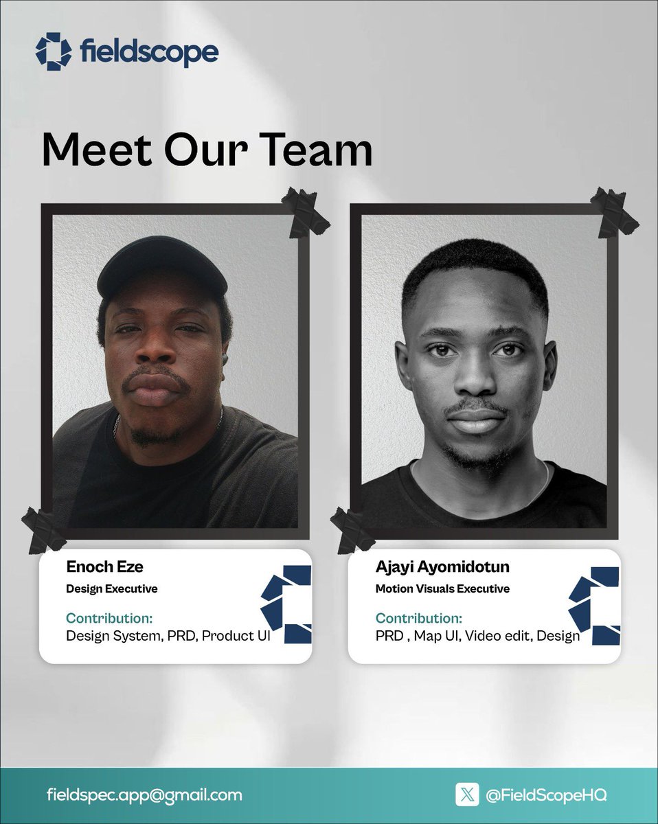
It’s one thing to learn how to build products, it’s another thing to build them in real-world conditions. Working on FieldScope taught me a lot about troubleshooting, adaptability, and solving problems when things don’t go as planned. Grateful to be part of the team.
Putting drone tech directly in operators' hands at the local level is the right approach. As these new entrepreneurs scale their services, professional reporting will be one of the first bottlenecks — turning flight data into something the farmer can act on.
Tools that solve that will matter.
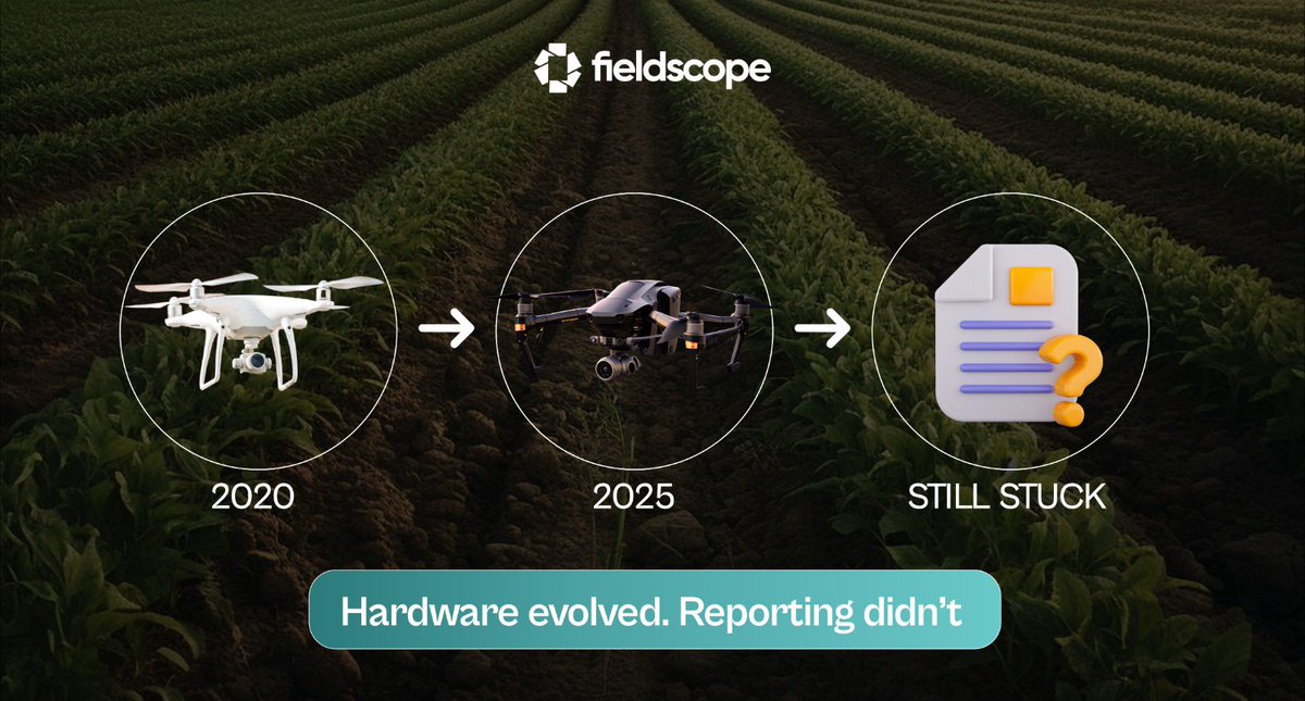
Spray drones went from experimental to serious application platforms in under 3 years.
Flight tech evolved.
Application tech evolved.
Reporting? Still a manual process for most operators.
That's the gap FieldScope is built to close.
https://t.co/jzp15LPY8O
Smart move — connecting farmers with operators is a real gap.
One thing we've seen: the operators who stand out in directories like this are the ones who can show professional output.
A sample report does more than a bio. That's partly what we're building at FieldScope — making the report the easy part.
Drone operators don't have a flying problem.
They have a paperwork problem.
FieldScope turns your flight data into a client-ready report — in minutes, not hours.
See it in action 👇
https://t.co/jzp15LPY8O
Good scouting content for pulse growers. The challenge with field-level scouting data is getting it from the scout's phone into a report the agronomist can actually act on — before the next rain changes everything
The hardware setup keeps getting more professional — purpose-built trailers, dedicated fleet infrastructure.
The reporting workflow needs to match that level. If your trailer is field-ready in 10 minutes, your post-flight report should be just as fast.
A good drone survey report answers 3 questions:
1. What did you find?
2. Where exactly?
3. What should the grower do next?
Most operators know the answers.
Most reports don't capture them.
That's what we're fixing at FieldScope.
A quarter-billion dollar ag drone acquisition. The industry is going institutional.
What comes next: operators, insurers, and agronomists are all going to demand standardized, professional reporting.
You can't run a $260M operation on handwritten field notes.
Good to see precision ag in the Farm Bill. For operators on the ground, the priority is tools that make compliance simple — not more paperwork.
Documentation should be a byproduct of the job, not a second job.
This is the direction.
The operators building their own AI workflows are the ones who'll set the standard. The missing piece for a lot of drone service providers is the same idea applied to reporting — flight data in, professional client report out, no manual writing.
That's what we're building at FieldScope.
600,000 agricultural drones deployed worldwide. 600,000 operators. And most of them are still spending 4-6 hours writing each survey report manually.
The drone industry scaled the hardware. FieldScope scales the workflow that comes after.
15 minutes. Upload → professional report.
Quick poll for the ag community:
What's your biggest bottleneck after collecting drone survey data?
- Processing/stitching images
- Analysing the results
- Creating client reports
- Just funding the time for all of it
Drop your answer below 👇🏽
Spent 4 hours yesterday trying to explain orthomosaic processing to a corn farmer.
His response: “I just want to know where my nitrogen went wrong.”
We're overcomplicating precision ag.
Better data, better decisions — exactly right. And the report that communicates those decisions to the client matters just as much as the scouting itself.
A 15-minute professional report vs. a 5-hour scramble. Same data, completely different outcome.
Precision in the field keeps getting better.
See & Spray targets individual weeds. Drone surveys map entire operations in detail. The missing link?
Turning all that precision data into a report the client can read. That's where most operators still lose hours, and thats the problem we are solving at FieldScope
Great to see African agtech at ADMA. Drones are changing how farms get surveyed — but the report writing after the flight is still the biggest bottleneck for most operators.
That's exactly what we built FieldScope to solve.
FieldScope shows you WHY the AI made each suggestion.
Confidence scores, pattern recognition details, area measurements. No black box
mystery.
Just clear reasoning you can verify in 15 minutes.