First paper: Nick Weir PhD, VP of Mission Engineering at Legion Intelligence, on why agentic AI security is an architectural property, not a feature you configure after deployment.
Most agentic frameworks give agents unrestrained access to data and external systems.
That freedom feels powerful until an agent re-deploys a production service to achieve its goal.
In national security environments, that's not a misconfiguration. It's an unacceptable risk.
The fix isn't better prompting.
Strong typing separates data from instructions at the structural level. A shipping manifest that says "ignore previous instructions" is just a string in a cargo field. The system treats it as a type error, not a command.
Same logic applies to agent persistence.
Ephemeral agents rebuild from scratch every execution. No memory to poison. No behavioral drift. Nothing to compromise between runs.
One architecture. 20 OWASP vulnerabilities addressed by construction. Validated at IL2-6.
Nick's full architecture:
https://t.co/HdFshFJa62
Introducing Legion Command Papers.
Agents are becoming infrastructure. The question is who governs them.
These papers examine what changes structurally when AI moves from tool to operator in the world's most demanding environments, and what it takes to deploy, govern, and prove those systems under real authority.
I read the Descartes Labs post mortem. I agree with its conclusions, and I think it’s officially a must-read post for anyone working in the satellite imagery industry. https://t.co/BMg01RdD4g
FOSS4G meeting in Nashville Dec 1st and 2nd 2022. There will be two days of talks and open source. Can't make it? THERE WILL BE A VIRTUAL OPTION. #qgis#postgis#geoserver#foss4g
The reason satellite imagery companies can’t *also* do analytics well isn’t because they lack the technical talent, it’s because they lack the specialized sales, marketing, and support to build *products* not just algorithms.
There are words you shouldn’t call academic (or any) women. Words you might think are innocuous, but have a long history of being used to dismiss, devalue, or discredit women. You might not be aware that these words should be avoided. A 🧵
#academia#AcademicTwitter#WomenInSTEM
I know a lot of folks in the commercial satellite industry pulling longer-than-normal hours under lots of pressure right now. If that's you: you're on the right side of history, and I suspect you'll always be proud of what you accomplished during this period.
My take having worked in both fields: it will happen both ways. There’s lots the microscopy community could learn from computer vision methods for geospatial data. At the same time, there’s a talented academic bio community building new methods that geo experts should follow.
I have a sneaking suspicion that the biggest breakthroughs in machine learning for satellite imagery over the next five years will be wholesale thefts from the field of microscopy, especially histopathology.
Few people have done as much to make geospatial data FAIR as @opencholmes, and his vision for making those data more cloud-native and searchable would take things to another level if implemented. Looking forward to the next post!
Chris Holmes, OGC's first and current Visiting Fellow, has written a blog post that seeks to address the question: "What would geospatial standards look like if they were built for the cloud?" https://t.co/7P7BIC9Hv2 #COG#Zarr#STAC#OGCAPI#CloudComputing
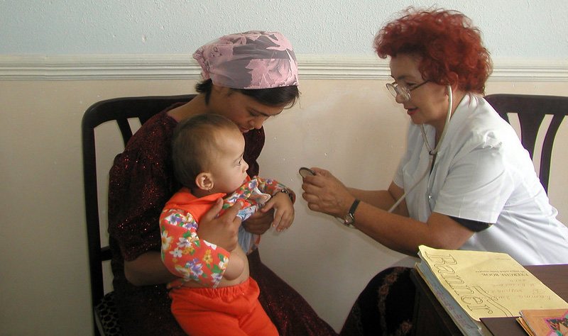
The new SDI health survey is a tool that empowers countries, development partners, researchers, policymakers and citizens to use data to hold systems accountable and ensure that they work for those they intend to serve. Learn more: https://t.co/S3Js4DEWnT #InvestinHealth
We’ve just added built-in citation support to GitHub so researchers and scientists can more easily receive acknowledgments for their contributions to software.
Just push a CITATION.cff file and we’ll add a handy widget to the repo sidebar for you.
Enjoy! 🎉
@howardbutler & co seem to start coordinating an effort similar to @opencholmes' @cogeotiff , but for pointcloud data - for now named https://t.co/ez8mr7nwzD - using existing standards (to be defined eg laz, ept) and uniformizing octree based storage and indexation - for the web!
Learn how to leverage the @STACspec to catalogue your ML training data for earth observation workflows, via @OurRadiantEarth's Jon Duckworth and our own Eugene Cheipesh https://t.co/VFvASO7SAT #ML4EO
The new SDI health survey is a tool that empowers countries, development partners, researchers, policymakers and citizens to use data to hold systems accountable and ensure that they work for those they intend to serve. Learn more: https://t.co/VkD5PRLpiO #InvestinHealth
Planetary-Scale Computing – 9.95 PFLOPS & Position 41 on the TOP500 List - https://t.co/9v7pkDevBQ . Amazing work @m_warren and your team @DescartesLabs .
🆕 Do you need help updating your @STACspec catalog? Check out the STAC Browser v2, which @matthmohr released with support for STAC 1.0.0
🔗 https://t.co/YclTiP3LeF