11:38a🚨Winter Storm Warning 12AM Fri - 6AM Sat
🚗Travel will quickly become hazardous Friday AM
✅With an increase of Freezing Rain chances, prep for power outages
✅Prep your car w/ gas & an emergency kit
✅Get essentials for your home
✅Stay updated w/ the forecast
#HUNwx
[5:40AM]:⚠️🥵🌡️A HEAT ADVISORY is in effect for the entire TN Valley until 8 PM Thursday! Heat indices will peak between 105-110°F Today and Thursday.
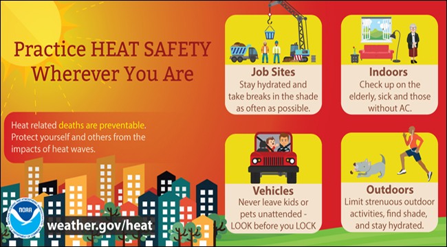
Make sure to stay hydrated, take frequent breaks in the shade if outside, and don't leave pets or children in vehicles! #HUNwx
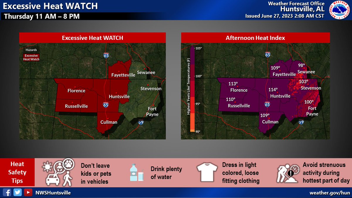
👉⚠ An Excessive Heat Watch Thu 11 AM-8 PM for much of our area.
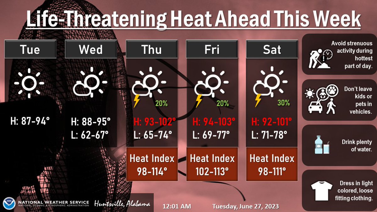
🌡️☀️High temperatures mid 90s to ~100 degrees in these areas, w/Heat Index peaking 105-114 degrees.
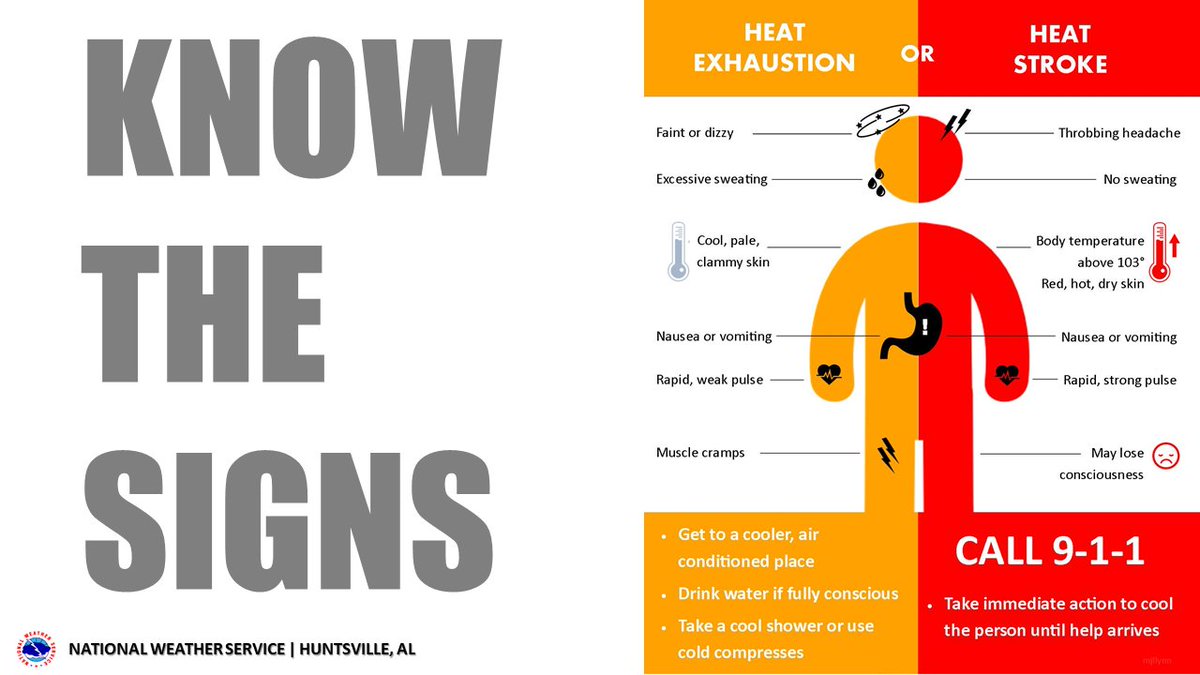
✅ Follow heat safety rules provided below. #HUNwx
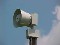
The Huntsville - Madison County E.M.A. will be conducting a test of the Outdoor Warning Siren system today at 12:00 p.m. This will only be a regular monthly test and no emergency exists. The siren system is designed for outdoor warning.
NMVFD is in the process of spring hydrant flushing. You may see us on your road flushing, maintaining and painting the fire hydrants. No worries, we are just making sure the hydrants are in good working condition.
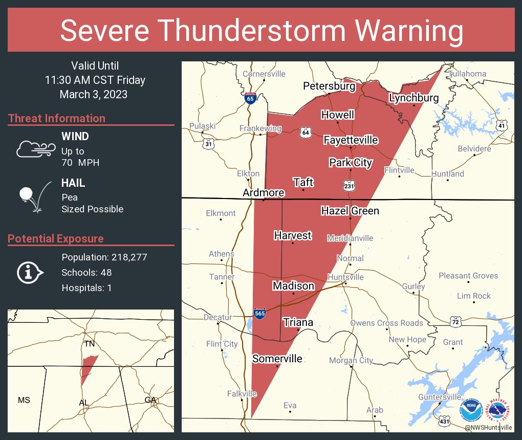
[5:15AM] ⚠️ Strong to severe storms are expected to move through later this morning and continue through this afternoon, bringing the potential for the following:
💨 Damaging winds
🌪️Tornadoes
🧊Hail
💧Lingering flooding
[1/3]
[5:00 AM]: Multiple hazardous likely Today & Friday. Thread🧵:
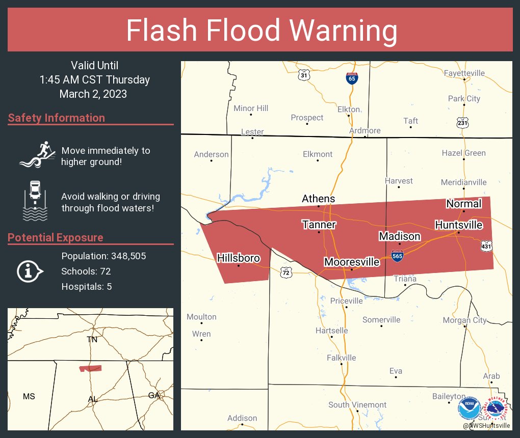
💦 Heavy rainfall overnight produced widespread flash flooding.
⛈️ Additional showers/storms today and Friday may lead to additional flooding and rises on river and creeks.
🚧 NEVER drive across flooded roads!
#HUNwx
[1105 pm] The severe threat has begun to decrease,but at the same time the flooding event is just beginning. Several flash flood warnings are in effect. Please do not drive through flooded waters #HUNwx