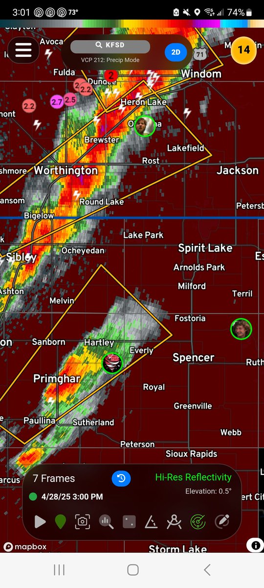
Growing concerned about a developing supercell headed toward Spirit Lake Iowa
Potential for strong tornadoes as this cell matures. Stay aware if you're in or near this area!!!!!!
#IAwx#MNwx
YUP!
"yes" streak - 11 DAYS
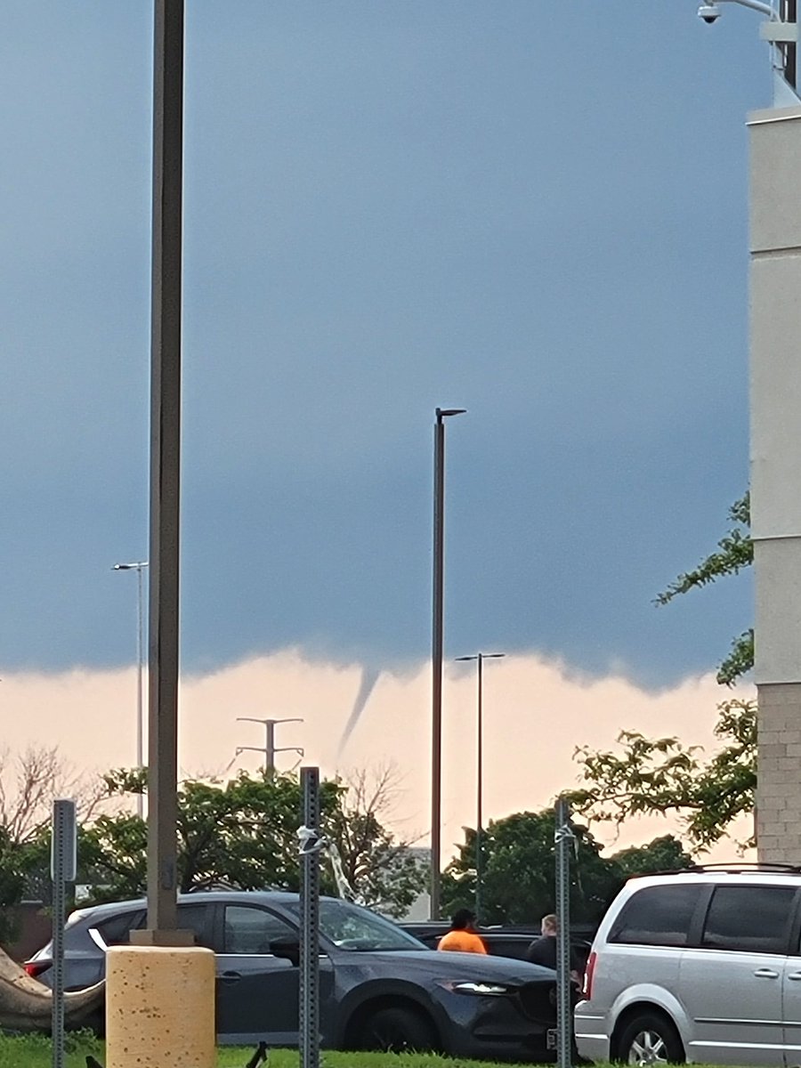
After reviewing previous days, it appears that we have, in fact, had at least one tornado every day between March 27th and April 6th! This DESTROYS the previous "yes" streak of 7 days!
***NEW ACCOUNT YES RECORD***
@turned_skyward@NWSSPC Wasn't confident in the tornado risk up north today, and it has ended up being just mainly a wind threat up there
Not much for tornadoes today
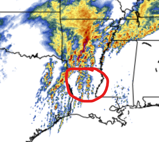
There is a world where supercells fire in front of the line today, in this scenario, I see an elevated chance for strong tornadoes in the northern Louisiana region.
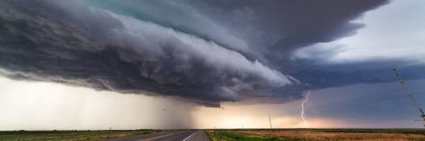
Conditions are favorable today, really depends on storm mode once again.
Stay weather aware today!!!!!
#LAwx
My main area of concern heading into tomorrow's severe risk is northern Louisiana into very southern Arkansas from 3-11pm CDT
This area could warrant a 15%# tornado risk if confidence is high enough for the right storm mode
Definitely something to keep an eye on 👀
#LAwx
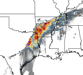
Overall low confidence in discrete cells kept today from becoming a high risk in my opinion
Still a chance for strong tornadoes regardless of storm mode today though
Be weather aware today if you live in the midsouth!!!!!
#TXwx#ARwx#MOwx
If any discrete supercells can fire in front of the line this afternoon in western Arkansas, we could see several significant and long track tornadoes beginning around 3-4pm CDT heading into central Arkansas.
Stay weather aware today in the Midsouth!!!!
#ARwx#TXwx
@Prod_Amreen@NWSSPC Biggest threat could be from Lone Star Texas stretching into the western and southern Arkansas
Storm mode and midday convection are still big questions though, will have more clarity tomorrow