🚀 Version 4.34 of #ArcGIS Maps SDK for #JavaScript is here! Explore 3D flow rendering for animating directional raster data, split & merge features with Editor, slots for placing UI elements, & ground surface volume measurement in 3D!
Learn more: https://t.co/l4PF97vStv
The latest version of the #ArcGIS Maps SDK for #JavaScript is out! This a big release that I'm excited about.
Web Components
Oriented Imagery
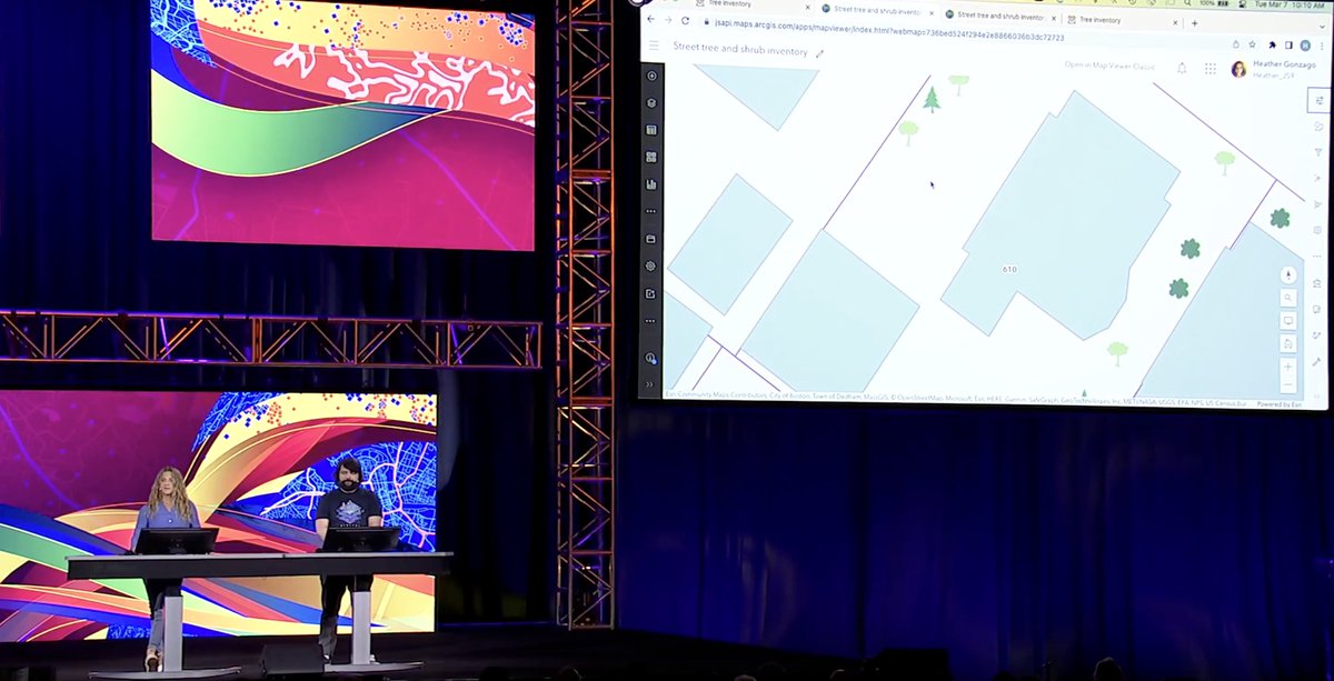
Relationship edits
Time Zones
... and so much more!
#geodev#esridev#webdev
https://t.co/pPF40HKZft
ArcGIS Maps SDK for JavaScript v4.28 has been released! It introduces Maps SDK Components as the new and simplified way to develop web mapping apps, oriented imagery, better time support, and much more! Check out highlights: https://t.co/38SLSQxXkv #ArcGIS#JavaScript#mapping
#ArcGIS Maps SDK for #JavaScript v4.27 released! It brings related record editing, scene layer editing, 3D basemaps, #real-time stream layer authoring & saving, new widgets and lots more. Check out the release highlights here https://t.co/1JtpleWENG
Oh the places you’ll probably go with version 4.27 of the #ArcGIS Maps SDK for #JavaScript with the fabulous @EsriDevs of #Esri. Read all about it here: https://t.co/FFajxMmXn1
Building an accessible web mapping app? @Esri accessibility experts cover best practices, tips & techniques for developing accessible web apps with #ArcGIS Maps SDK for #JavaScript and Calcite Design System - https://t.co/pDNhlPw9Dc
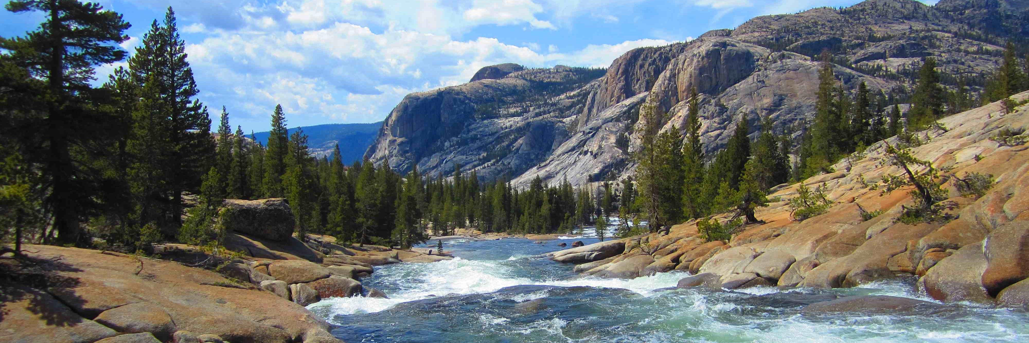
Many new 3D web features in the ArcGIS Maps SDK for #JavaScript are shown in this #EsriDevSummit thread 👇! 1st Demo – New terrain shading and full 3D snapping capabilities for editing and measuring. 📏 See the demo: https://t.co/ECthv5XEPB
Mark your calendar! 🗓 The #ArcGIS Maps SDK for #JavaScript product team will host a livestream on Tuesday, April 11th at 9 am PST to discuss the latest features in the 4.26 release. We hope to see you there! https://t.co/iDLKaklH8L
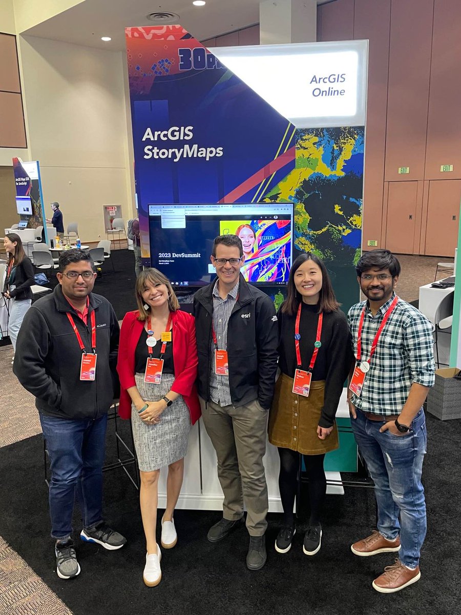
Good morning from #EsriDevSummit!
We appreciate everyone who stopped by yesterday & shared your #StoryMaps product feedback at the @Esri showcase.
Haven't checked in yet? No problem—we're here all day. 🌎 #EsriDevSummit23
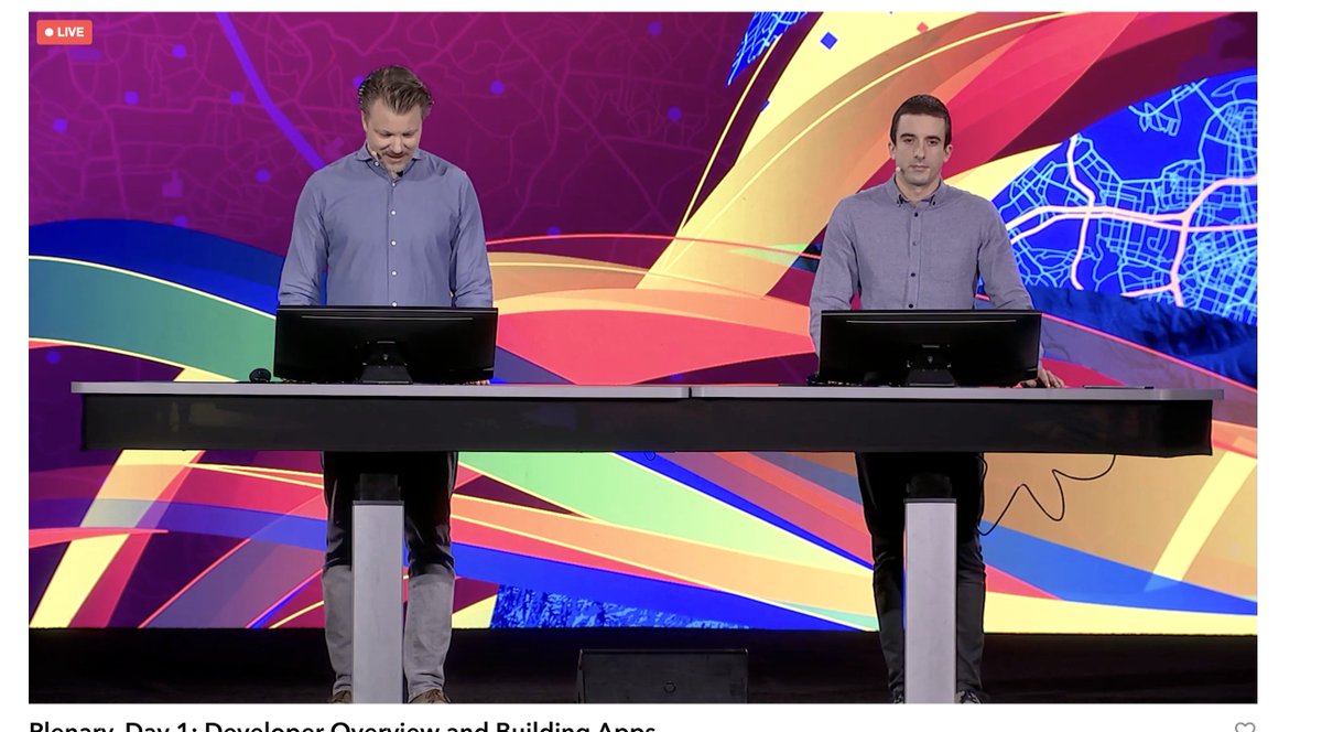
As great as the cloud is, sometimes you want better performance. Come see what the client-side ArcGIS Maps SDK for JavaScript is all about.
#esridevsummit#esridevsummit2023@EsriDevs @KiwiRichie
Oh hey, I have some sessions this week too at #esridevsummit23. I'll talk about them during the week, but go ahead and add them all to your schedule now. #arcgis#js https://t.co/ePzZsuQA1m
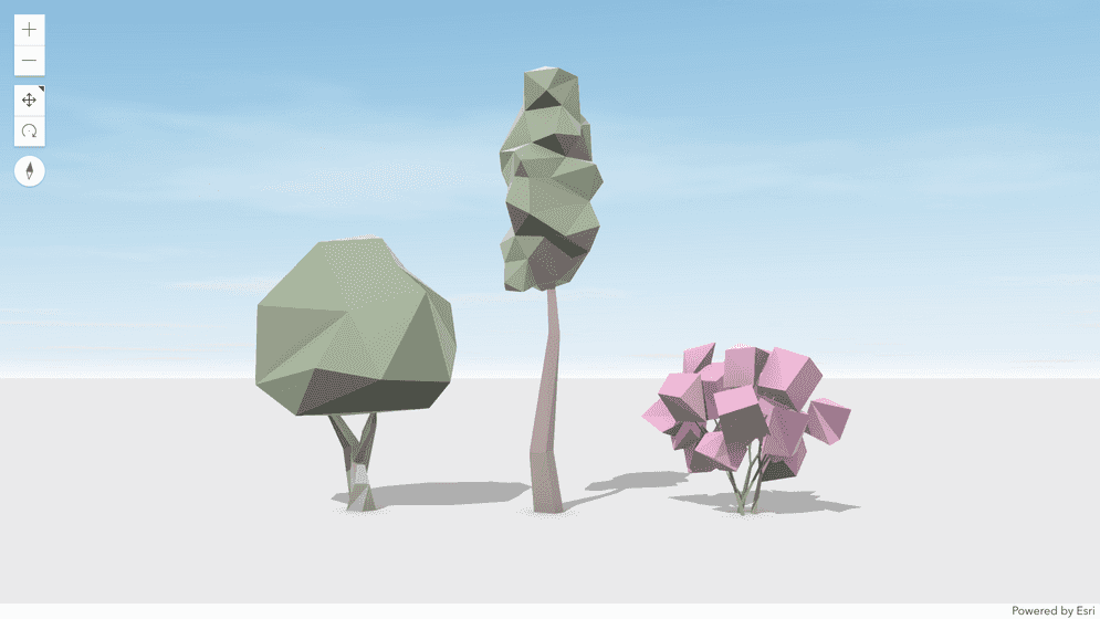
The JS SDK works with raster tiles containing raw values at the view's resolution, reproject and convert them to colored pixels. Client-side RasterFunctions are now available in beta to create raster analysis directly in the browser.
https://t.co/SqNKFybBhm
#DevSummit#esrijs