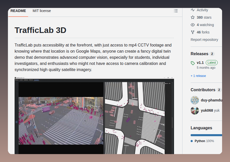
TrafficLab 3D creates 3D digital twin traffic visualizations from mp4 CCTV footage and Google Maps locations, enabling computer vision demos without camera calibration.
https://t.co/cJJ0QDGQE9
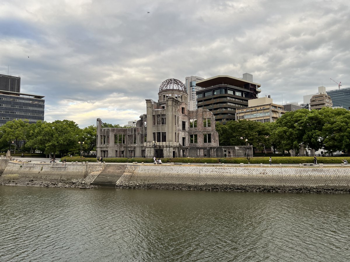
FOSS4G Hiroshima 2026にて、「Implementation and evaluation of geography education using QGIS for Japanese high school students」の題で発表しました。
DesktopGISを用いた教育実践では、地図の読図力(地形図とGIS)、PC操作の基礎スキル、学び方が成功のカギになるのでは?と考えます。