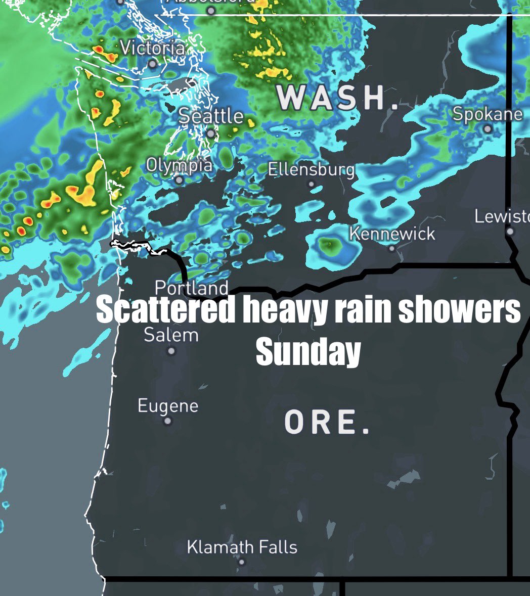
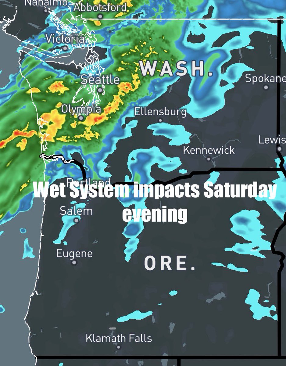
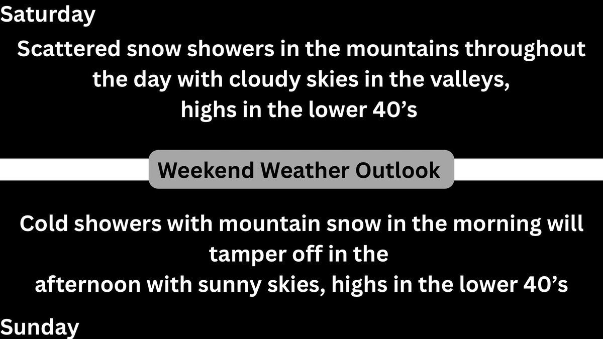
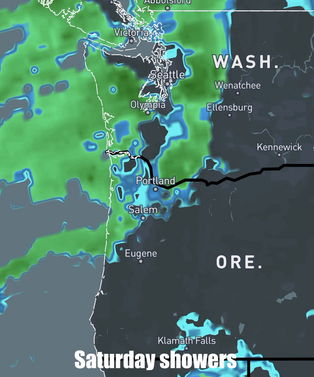
Another sunny weekend ahead in the PNW ☀️🌥️
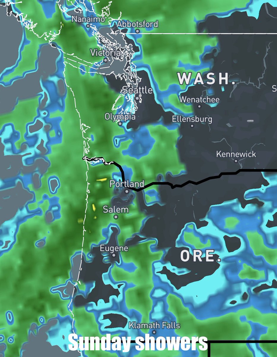
Saturday will begin with partly sunny skies with gusty winds in the Willamette Valley isolated windchills of 15 to 25°F will be possible, Sunday a weak system will move through with cloudy skies in the evening.
#ORwx#wxtwitter#WAwx
Potentially Record breaking:
The last record dry streak for the month of January was set in 1985 with 13 days
If this pattern continues a new record of 15 days could be set.
Potentially record breaking dry streak will continue in the PNW 🌡️☀️
Over the past several weeks the #PNW has seen nonstop dry sunny skies these spring like conditions will likely continue into the weekend with the next possible shot of rain on Jan 28th
#ORwx#WAwx#wxtwitter
Small weekend update ☀️🌡️
Sunny skies can be expected throughout Saturday and Sunday temperatures will remain above average in the mid 50’s with isolated spots reaching the low 60’s stagnant air quality continues to be a concern for parts of the Willamette Valley.
#wxtwitter
Another Dry/rainy weekend ahead ☀️🌧️
A strong unseasonable ridge is building across the PNW bringing stagnant air quality and clear warm conditions, Saturday evening a weak front will push through mainly in Washington lasting through Sunday.
#ORwx#WAwx#wxtwitter
⚠️❄️Cascade Winter storm Update:
A system is actively working through the PNW bringing heavy snowfall to most of the cascades accumulations around 1-3 feet is possible, a winter storm warning is in effect for most of the cascades until Thursday.
#ORwx#WAwx#wxtwitter
This year’s January is looking like a warm on across Oregon
You can view my latest outlook on things in this video!
https://t.co/UDjjrvrokc
#ORwx#wxtwitter
Coastal marginal risk ⛈️🟩
(2/2)
On the southwest Oregon there is the chance for a strong shower or thunderstorm to form with the main threats being heavy rainfall, frequent lightning and gusty winds.
If you see lightning it is best to stay inside.
First weekend of 2026 is starting off messy 🌧️⛈️
(1/2)
Saturday Expect cloudy conditions throughout the PNW with afternoon showers and coastal thunderstorms some of which could be strong, Sunday will see wet and breezy weather in the throughout the day
#ORwx#WAwx#wxtwitter
Happy New Year!🎉2025 will close out with an Arctic front bringing snow squalls & much colder air from the Upper Midwest to the Northeast... while 2026 will ring in with heavy rain & mountain snow across the Southwest along with the risk of flashing flooding in SoCal. Be safe!🎆
🧣 It's about to get chillier overnight! Here are low temperature forecasts across northwest Oregon and southwest Washington for the upcoming week. Many places are forecast to fall near or below freezing, resulting in widespread frost. #ORwx#WAwx
Hope Everyone had a good Christmas week 🎄❄️
This weekend expect a mix of sunny skies and rain with snow showers in the mountains especially overnight Saturday into Sunday, temperatures will be in the lower 40’s both Saturday and Sunday
#ORwx#WAwx#Wx#wxtwitter
Anyone ask for a PNW winter weekend?? ☁️🌧️
well its about to start getting cold and wet with both Saturday and Sunday having showers in the forecast and high’s only getting into the mid 40’s, Sunday will be the wettest day with numerous showers expected
#ORwx#wxtwitter#Wx
At 4:30 PM PST, 1 ENE Falls City [Polk Co, OR] Public reports Flood. Picture shared on Facebook of Palmer Rd in Falls City, OR flooded with water up to the door handles of a mid-sized SUV stuck in the flood waters. #orwx https://t.co/fWUdj6WqV6
At 5:10 PM PST, 3 N Pleasant Valley [Tillamook Co, OR] Trained Spotter reports Flood. The Principal is reporting active flooding of the school. Requesting help to get things out and stating that the school will be closed tomorrow. #orwx https://t.co/dFJnWyRdHB
2:10 PM PST 12/18/25 Radar Update: Rain is becoming heavier across northwest Oregon, with rain rates exceeding 0.25 inches per hour in some locations. The threat for urban and small stream flooding will be on the increase this evening as heavy rain continues today and tonight...
High Wind Warnings and Wind Advisories remain in effect until 7 PM Thursday, with southwest wind gusts up to 60 mph where warnings are in effect and up to 45 mph where advisories are in effect. Downed trees and power outages are expected where the strongest gusts occur.