AK/ID/MT/ND #Wildfire🔥 data. NOT FOR SAFETY/EMERGENCY/EVACUATION PURPOSES; not affiliated with govt. RT/fav/follow!=endorse. Open source. See @FireUnofficial
Good evening Twitter! I automatically post unofficial info using public data for wildfires in Idaho, Montana, North Dakota #myfirsttweet - NOT for safety, evacuation, or emergency info - consult public officials for such issues.
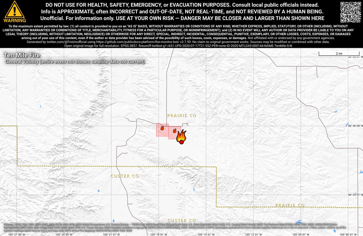
#TenMileFire 🔥 unofficial, automated update.
~14mi S of Terry, MT. ⚠️ DO NOT USE FOR SAFETY PURPOSES - See officials instead. May be incorrect; disclaimers in images.
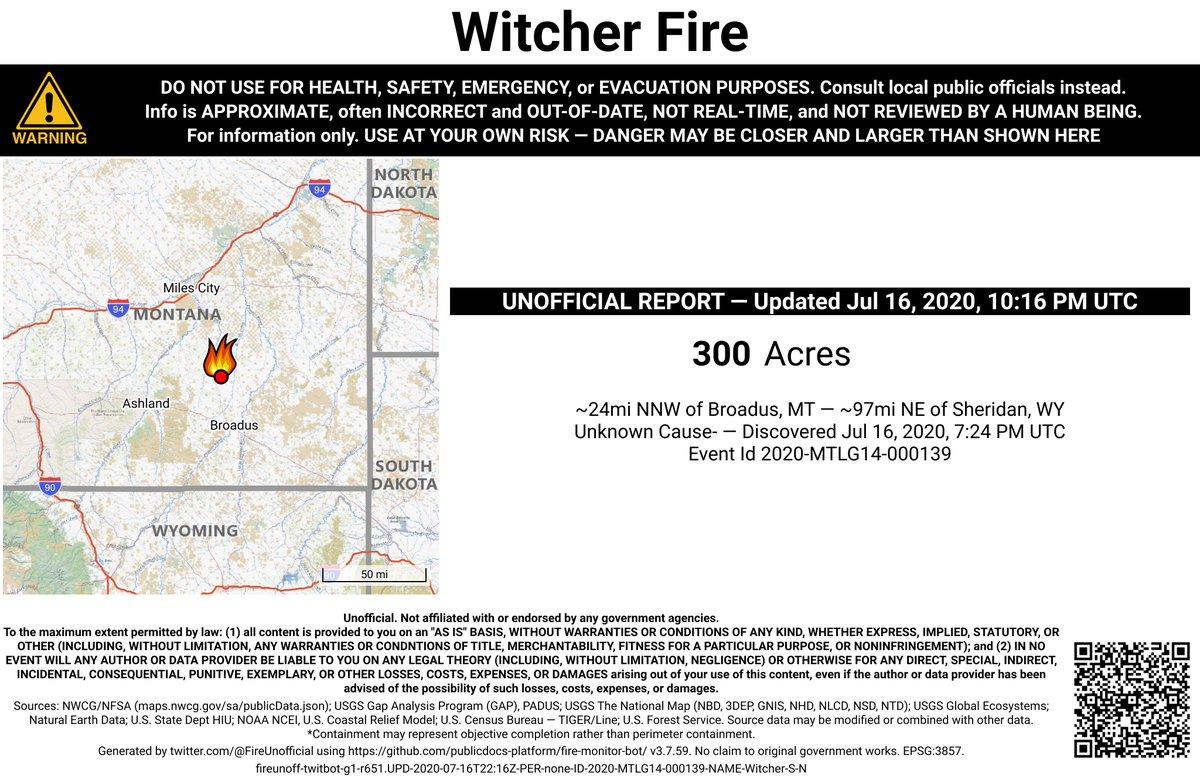
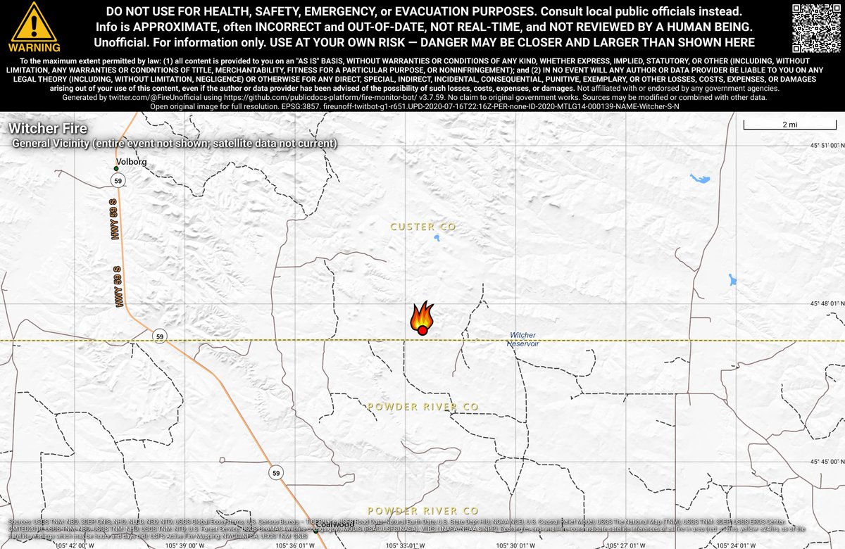
#WitcherFire 🔥 unofficial, automated update.
~24mi NNW of Broadus, MT. ⚠️ DO NOT USE FOR SAFETY PURPOSES - See officials instead. May be incorrect; disclaimers in images.
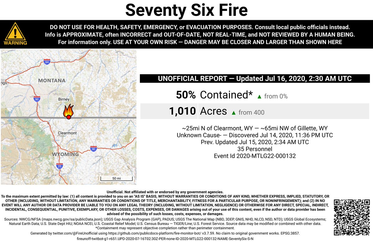
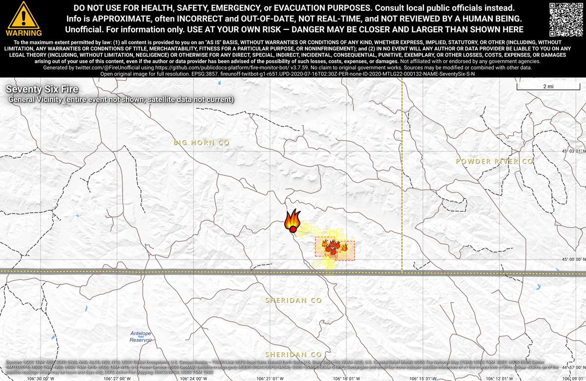
#SeventySixFire 🔥 unofficial, automated update.
~25mi N of Clearmont, WY. ⚠️ DO NOT USE FOR SAFETY PURPOSES - See officials instead. May be incorrect; disclaimers in images.
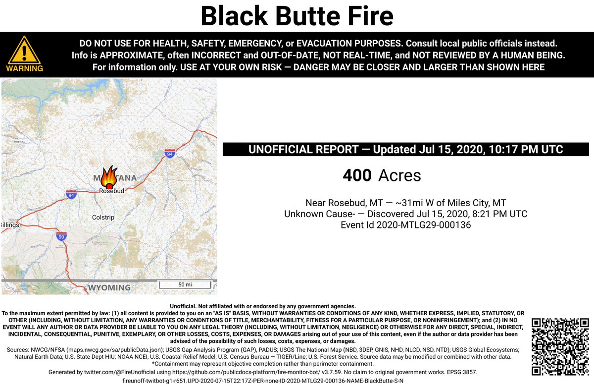
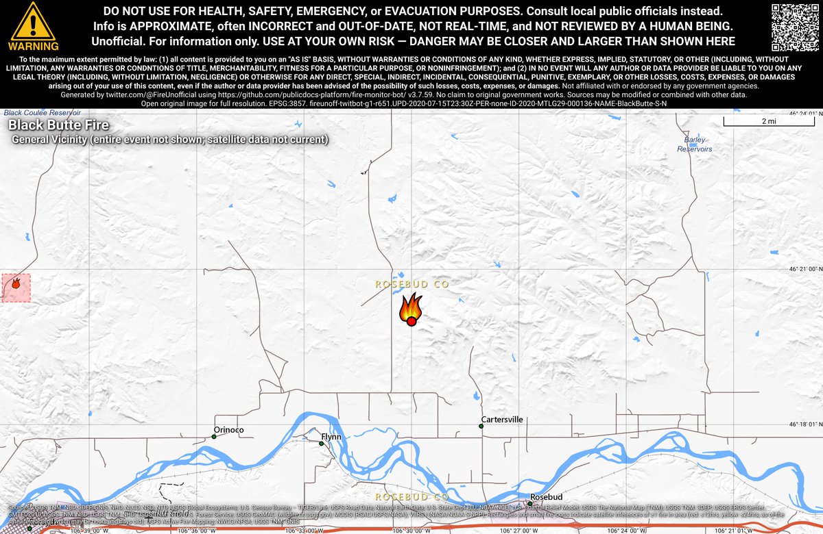
#BlackButteFire 🔥 unofficial, automated update.
Near Rosebud, MT. ⚠️ DO NOT USE FOR SAFETY PURPOSES - See officials instead. May be incorrect; disclaimers in images.
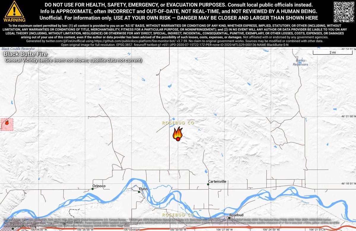
#BlackButteFire 🔥 unofficial, automated update.
Near Rosebud, MT. ⚠️ DO NOT USE FOR SAFETY PURPOSES - See officials instead. May be incorrect; disclaimers in images.
#SeventySixFire 🔥 unofficial, automated update.
~25mi N of Clearmont, WY. ⚠️ DO NOT USE FOR SAFETY PURPOSES - See officials instead. May be incorrect; disclaimers in images.
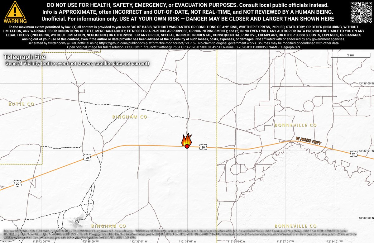
#TelegraphFire 🔥 unofficial, automated update.
~15mi ENE of Atomic City, ID. ⚠️ DO NOT USE FOR SAFETY PURPOSES - See officials instead. May be incorrect; disclaimers in images.
#HamFire 🔥 unofficial, automated update.
@BLMIdaho; ~11mi W of Glenns Ferry, ID. ⚠️ DO NOT USE FOR SAFETY PURPOSES - See officials instead. May be incorrect; disclaimers in images.
64% wanted navigational/road views, 36% for satellite. Therefore, the bots have been updated to show navigational/road views in the detailed maps in v3.7.0. Thanks for your input!
Do you prefer fire maps with a navigational view, or a satellite imagery view? Navigational views are clearer, but imagery views show where vegetation is. #gis#wildfires
A request to fire agencies and media: Please put a Google Maps link, a lat/long, or similar when posting photos or news from a fire. It greatly helps people quickly understand where the fire is, especially for smaller fires that aren't in the nat'l databases.
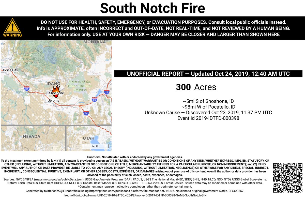
#SouthNotchFire 🔥 unofficial, automated update.
~5mi S of Shoshone, ID. ⚠️ DO NOT USE FOR SAFETY PURPOSES - See officials instead. May be incorrect; disclaimers in images.
#SouthNotchFire 🔥 unofficial, automated update.
~5mi S of Shoshone, ID. ⚠️ DO NOT USE FOR SAFETY PURPOSES - See officials instead. May be incorrect; disclaimers in images.
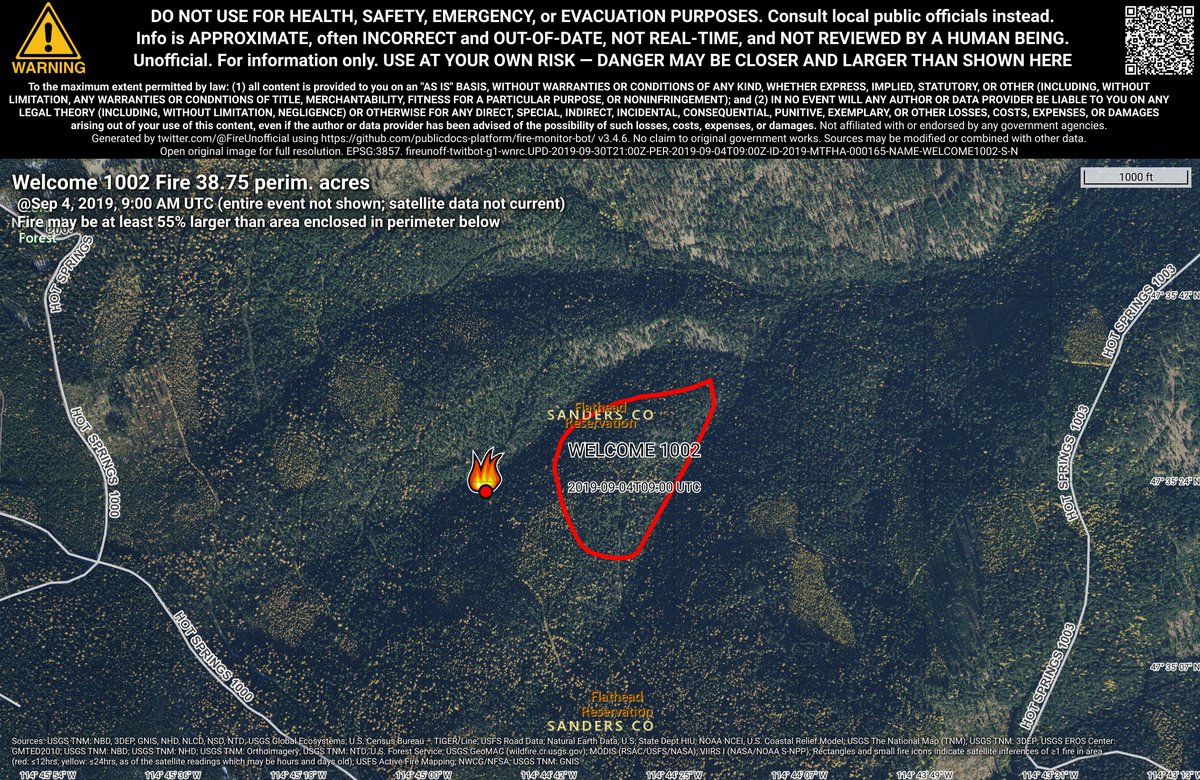
WELCOME 1002 🔥 unofficial, automated update.
Near Hot Springs, MT. ⚠️ DO NOT USE FOR SAFETY PURPOSES - See officials instead. May be incorrect; disclaimers in images.
#SwanLakeFire 🔥 unofficial, automated update.
Near Cooper Landing, AK. ⚠️ DO NOT USE FOR SAFETY PURPOSES - See officials instead. May be incorrect; disclaimers in images.
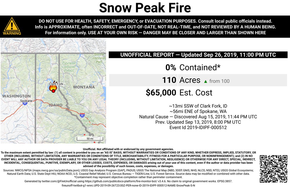
#SnowPeakFire 🔥 unofficial, automated update.
~13mi SSW of Clark Fork, ID. ⚠️ DO NOT USE FOR SAFETY PURPOSES - See officials instead. May be incorrect; disclaimers in images.
#CoveCreekFire 🔥 unofficial, automated update.
@SalmonChallisNF; ~27mi WNW of Salmon, ID. ⚠️ DO NOT USE FOR SAFETY PURPOSES - See officials instead. May be incorrect; disclaimers in images.
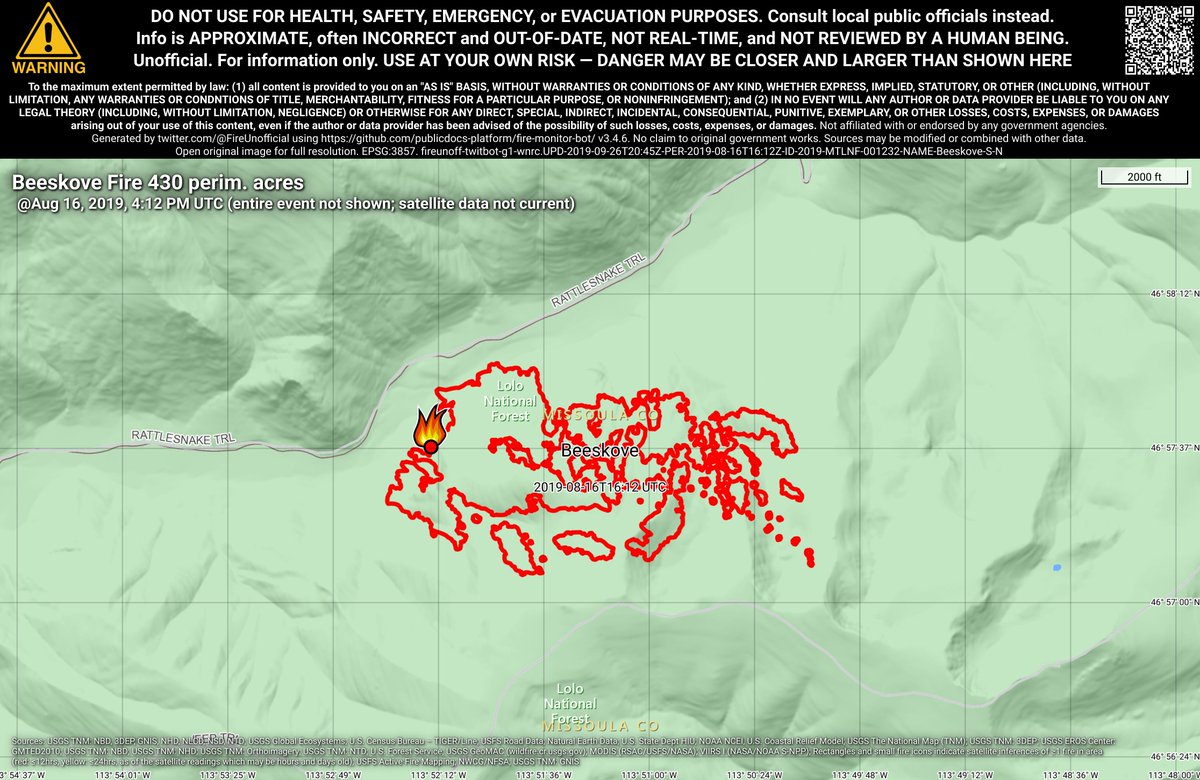
#BeeskoveFire 🔥 unofficial, automated update.
~5mi NNE of Bonner-West Riverside, MT. ⚠️ DO NOT USE FOR SAFETY PURPOSES - See officials instead. May be incorrect; disclaimers in images.
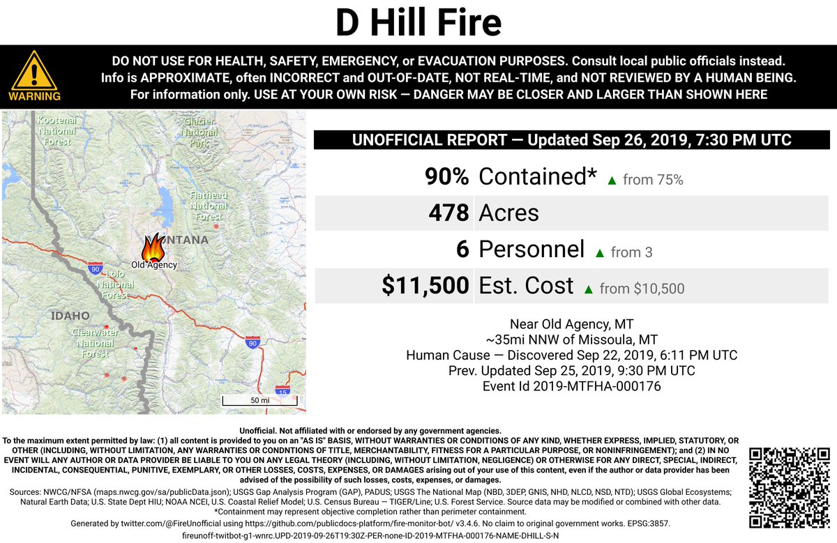
#DHillFire 🔥 unofficial, automated update.
Near Old Agency, MT. ⚠️ DO NOT USE FOR SAFETY PURPOSES - See officials instead. May be incorrect; disclaimers in images.
#DHillFire 🔥 unofficial, automated update.
Near Old Agency, MT. ⚠️ DO NOT USE FOR SAFETY PURPOSES - See officials instead. May be incorrect; disclaimers in images.