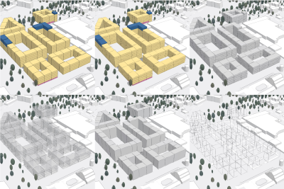
Drill deeper into the rich data of voxel layers by exploring isosurfaces and dynamically examining horizontal and vertical slices of the 3D volume. See all of the powerful new capabilities and improvements in ArcGIS API for #JavaScript here: https://t.co/hwtYF6GgBy
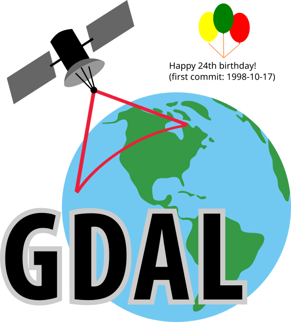
Happy 24th birthday to GDAL ! From the first commit on 1998-10-17 from a small rural town outside of Ottawa Canada, to almost every geospatial software installation on the planet (and satellites and other planets!) in 24 years. The ultimate example of sharing & community. #foss4g
Auf dem Weg in Richtung «Open Government Data» - MeteoSchweiz und @swisstopo stellen Entwurf einer Datenschnittstelle zum Test zur Verfügung.
▶ Weitere Informationen und Test-Zugang: https://t.co/Gzc1aN9sg6
#OGD
Verwendest du das #3D-#Stadtmodell@BaselStadt? Es stehen neue Datenformate (OBJ und ESRI Shape) für den #Download zur Verfügung. Das Gelände wird neu als TIF ausgeliefert und mehrere Datenstände stehen zur Verfügung. Siehe hier: https://t.co/anhXqjgTt1 #ogd#opendata#SmartCity
When is the right time to communicate #3D visualizations in urban planning. Lisa Stähli, Senior Product Engineer @esri kick-starts a conversation in this storymap. https://t.co/KTJCPvXQmd #ArcGISUrban
1/ Die Öllobby @avenergysuisse widmet vor dem #CO2Gesetz ein Heft den "Fakten zum Klimagas" CO2, und verschickt es als "Nachschlagewerk".
Auf den ersten Blick sachlich. In Wahrheit Fehler, falsche Zitate, selektive Datenwahl, irreführende Darstellungen.
Ein Faktencheck...
DECIDE aims to encourage more recording from places that need it most.
UKCEH and partners have developed a web-based Tool which highlights areas that are of greatest priority for more recording of butterflies and moths.
More: https://t.co/bwgKL4x7Yc
#MakingDataWorkForNature
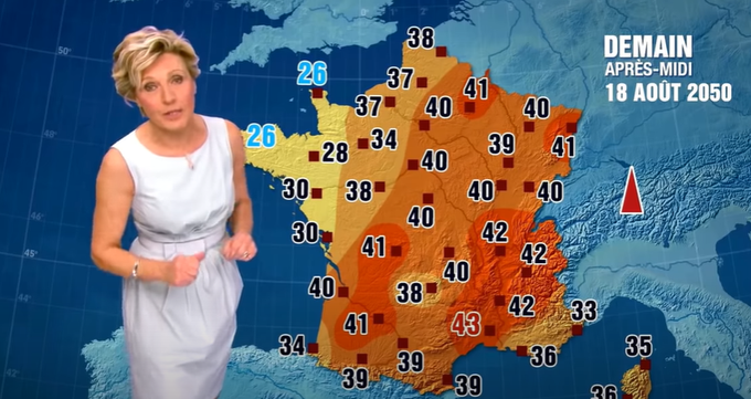
In 2014, this French weather presenter announced the forecast for August 18, 2050 as part of a campaign to alert to the reality of climate change. Now her forecast that day is the actual forecast for the coming 4 or 5 days, in mid-June 2022.
If recording #butterflies is your thing, you'll be interested to hear there's a new version of the iRecord Butterflies app!
Download for Android: https://t.co/kZ4u2XUmgX
Download for iOS: https://t.co/Hx9k5atTzZ
#BiologicalRecording#CitizenScience
👏 The Canton of Basel-Stadt has launched its Smarte Strasse project to inform citizens about free parking spaces, air quality and traffic noise. Data is collected from street sensors and visualized in a dashboard, accessible by scanning a QR code - https://t.co/mQ8VVuZqH7
Der erste OGD-Datensatz des Amts für Raumentwicklung ist live. Welcome ARE💙
Er bietet die aktuellste und umfassendste Übersicht der überbauten Bauzonen und Bauzonenreserven im @KantonZuerich und verbessert unser Angebot zum Thema.
https://t.co/OY4PtXOiRz
⚡️New applications⚡️📢
Discover the City of #Zürich from completely new perspectives!
Fly through & explore the #DigitalTwin with «Zürich virtuell» or examine the urban development in space & time with «Zürich 4D».
More infos: https://t.co/KoWUsBwkhS
#DDJ cc @GeriSchrotter