Was able to see the outskirts of the Kouts tornado damage. Can see the destroyed electrical towers in the first image. Confirmed EF-3 damage with surveys still ongoing. #inwx
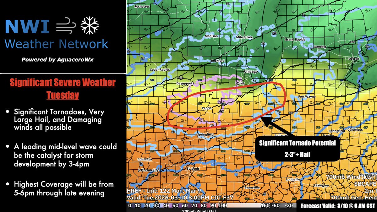
Here are the forecasts and graphics NWI Weather Network clients that have signed up for the free trial received leading up to the severe storms Tuesday. They also had near 24/7 availability via text/email for questions and more frequent updates. Sign up today! #nwi#severeweather
HRRR has been trending warmer and more north with our quasi-stationary warm front since the 12z run. Something to watch very closely as this will dictate where sfc based storms (and the attendant tornado threat) will be possible. Obs into the morning will be crucial #inwx#ilwx
Here is what @nwiwxnetwork clients would have received early yesterday morning for the strong-severe storms and heavy rain we had. You would also get near 24/7 availability from me via text updates and SMS notifications for impending severe weather. #inwx
Later tonight, I will be posting the forecast graphics I made earlier today/as the storms were forming to showcase what @nwiwxnetwork clients would’ve received to stay ahead of the heavy rain and strong storms we are experiencing this afternoon. Stay tuned! #inwx#nwi
With strong to severe thunderstorms being a possibility this afternoon and tonight, there has never been a better time for your business to sign up for our free trial! #inwx
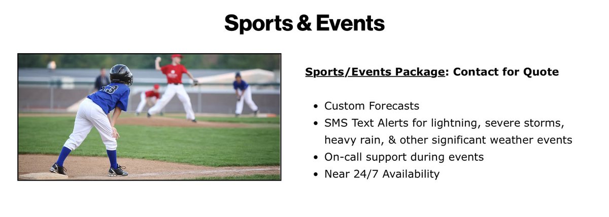
Full example of an Event Forecast @nwiwxnetwork clients will receive! This may include more graphics using @aguacerowx and will be updated/sent out as needed. The hourly forecast graphic will also be in the daily forecasts as well! Free trials are available now! #nwi#weather
NWI Weather Network is launching! We would love to see if some businesses are interested in a free trial period! Some examples of our products are attached to this post. #nwi#northwestindiana#valpo