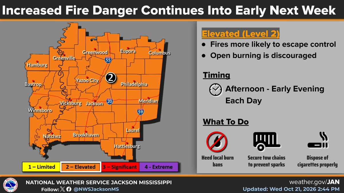
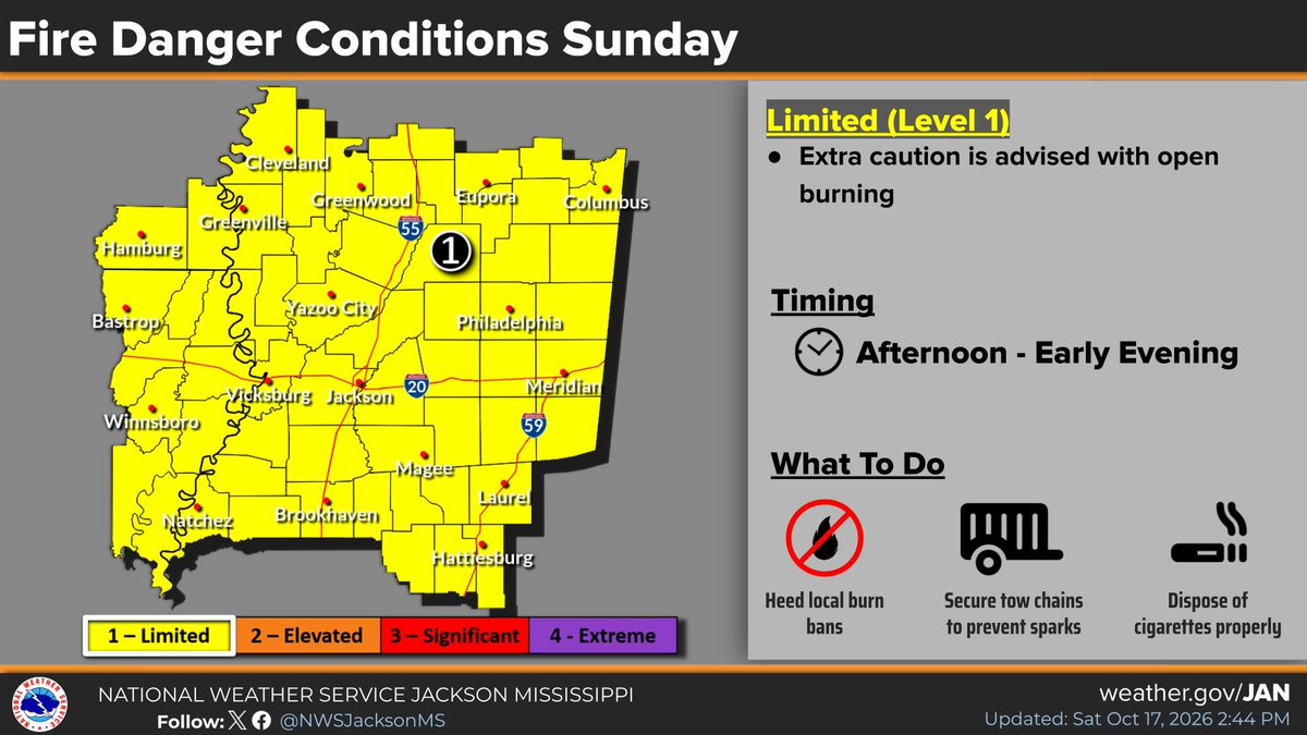
🔥⚠️The combination of low relative humidity and dry fuels will result in continued dangerous fire danger persisting into early next week. Open burning is discouraged. Heed local burn bans.
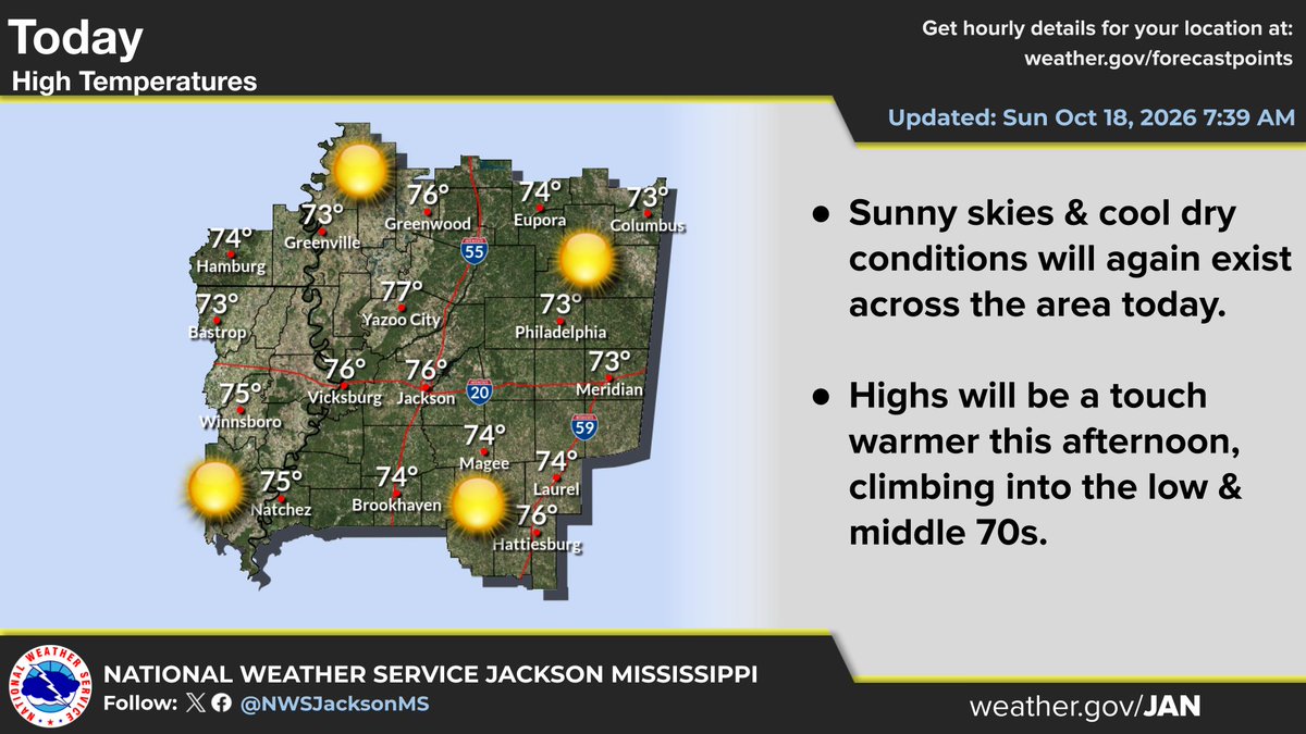
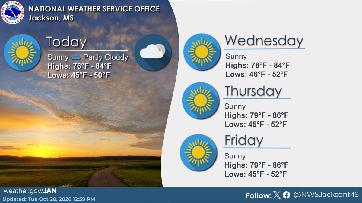
☀️Dry weather with cool mornings and warm afternoons will continue into the weekend.
The combination of low relative humidity and dry fuels will result in continued dangerous fire danger persisting into early next week. Open burning is discouraged. Heed local burn bans.
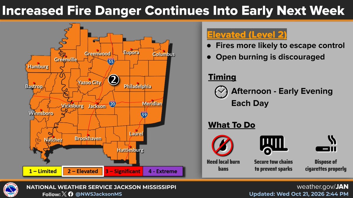
🔥⚠️The combination of low relative humidity and dry fuels will result in continued dangerous fire danger persisting into early next week. Open burning is discouraged. Heed local burn bans.
Good morning! Mostly sunny and dry weather will continue.
Due to dry conditions, continue to exercise caution with any outdoor burning or avoid it altogether if your local area is under a burn ban.
A very dry airmass remains in place across our region, with no rain expected over the upcoming week. Mornings will be cool, but the afternoons will be warm each day.
Because of the dry weather, wildfires remain a concern. Heed local burn bans.
Warning Improvement Meeting at the MS Department of Public Safety Headquarters in Pearl…Media, County Emergency Managers, NWS meteorologists, students and researchers here to learn from each other about how to get timely weather information to the public.
The combination of low relative humidity and dry fuels will result in dangerous fire danger conditions this week. Heed local burn bans and exercise caution with any open burning.
The combination of low relative humidity and dry fuels will result in dangerous fire danger conditions this week. Heed local burn bans and exercise caution with any open burning.
The combination of low relative humidity, wind, and dry fuels will result in dangerous fire danger conditions Sunday. Heed local burn bans and exercise caution with any open burning.
Significant fire danger conditions are expected today due to the combination of wind, low relative humidity, and critically dry fuels. A Red Flag Warning is in effect today.
The much anticipated cold front is making its way across the area this afternoon, and a few showers have developed along the front. Any rain will be brief, but breezy conditions will follow throughout the afternoon and into this evening.
Significant fire danger conditions are expected into this weekend due to the combination of wind, low relative humidity, and critically dry fuels. A Red Flag Warning is in effect today and again Saturday.
A strong cold front will bring gusty winds today before A strong cold front will bring gusty winds today before ushering in much cooler and more pleasant temperatures this weekend.
As a cold front arrives today, gusty gradient winds will develop areawide. Weak trees and limbs may break and fall due to sustained winds of 20 to 25 mph and wind gusts of 30 to 35 mph. High profile vehicles could also be affected. #arwx#mswx#lawx