2:53 PM | A Flood Advisory has been issued for portions of Orange & Seminole Counties until 4:15 PM EDT. Between 1 and 3 inches of rain have fallen. Additional rainfall amounts of 1 to 2 inches are expected over the area.
Sun 8/23 | Another round of scattered showers and storms this afternoon. Gusty winds and frequent lightning in the strongest storms. Highs in the low 90s, heat index 100-105 degrees! #FLwx
4:20am | Additional showers and storms near the Big Bend of FL indicate that some energy is moving across the state today. Scattered storms should form into the afternoon. #FLwx
4am | Boaters heading offshore early this morning will need to watch for scattered storms in the Gulf Stream. The closest activity is about 30 miles east of St Lucie Inlet. #FLwx
8/22 | Dry and warm weather is forecast overnight across east central Florida with lows in the mid to upper 70s. High temps in the low to mid 90s combined with seasonable humidity SUN and MON will produce high afternoon heat indices. Remember to practice heat safety!
@NWSMelbourne Pretty significant flash flooding in Daytona Beach, particularly near Embry-Riddle. Some areas along Clyde Morris Blvd, Richard Petty Blvd, and Bellevue Ave have received several inches. Several traffic lights are also out at intersections throughout the area.
7:35 PM | A Flash Flood Warning has been issued for portions of Volusia County until 10:30 PM EDT. Between 2 and 4 inches of rain have fallen. Additional rainfall amounts of 1 to 3 inches are possible in the warned area.
7:13 PM | A Flood Advisory has been issued for portions of Volusia County until 9:15 PM EDT. Between 1 and 3 inches of rain have fallen. Additional rainfall amounts of 1 to 2 inches are expected over the area.
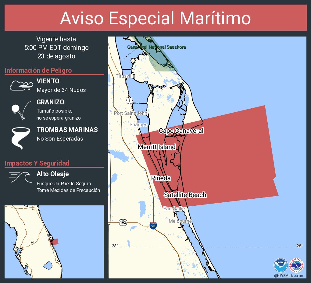
Aviso Especial Marítimo incluye Playa Flagler a Línea del Condado Volusia-Brevard County Line 20-60 nm y Playa Flagler a Línea del Condado Volusia-Brevard 0-20 mn hasta las 8:00 PM EDT
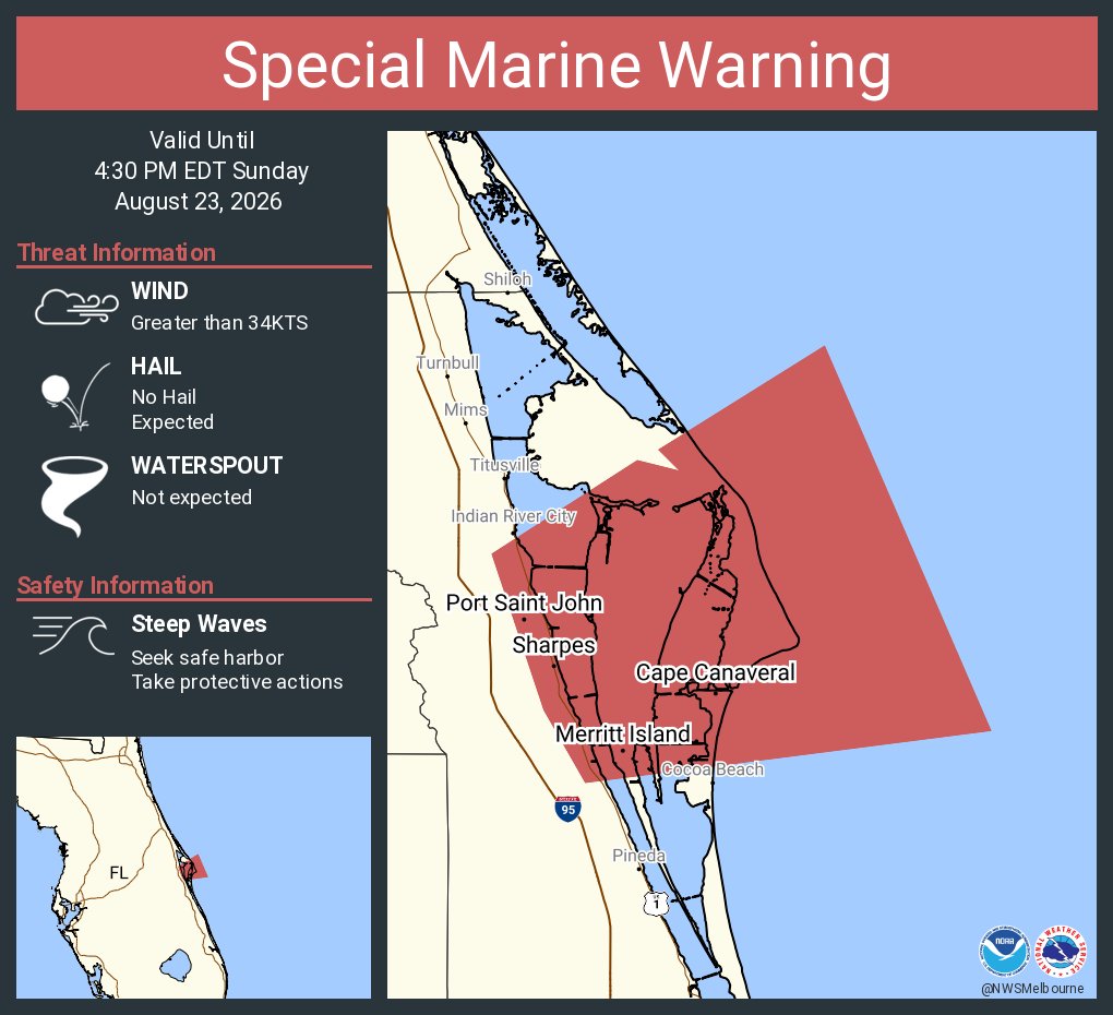
Special Marine Warning including the Flagler Beach to Volusia-Brevard County Line 20-60 nm and Flagler Beach to Volusia-Brevard County Line 0-20 nm until 8:00 PM EDT