Watch for areas of dense fog this morning. Fog will then give way to mostly sunny skies this afternoon. Temperatures will be near average through the end of the week but will warm up this weekend with highs well into the 90s. Storm chances return late this weekend. #kswx
Areas of fog could develop tonight with visibilities reduced to around a mile. If fog forms, it could stick around through 8am impacting the Wed morning commute. Slow down and use low beam headlights if you encounter fog. #kswx
There is a 20-50% chance of showers and storms overnight and into Wednesday morning. After that, dry weather is forecast heading into the weekend as temperatures climb back into the 90s. #kswx
A few storms could move into the area this afternoon or evening. Damaging wind gusts could occur with any strong storm. There is a slight chance for lingering showers and storms tomorrow morning before drier conditions return. Temperatures warm this weekend. #kswx
Scattered showers and storms are possible this morning, but the afternoon will be dry and warm. A few strong to severe storms could then occur Tuesday afternoon and evening. Damaging wind will be the main hazard. Drier weather is then expected through midweek. #kswx
Scattered rain showers move from west to each across the area today, with better chances for storms occurring tonight. Each day will bring at least a slight chance of rain for portions of the area. Cooler temperatures today will warm back to near average through the week. #kswx
A batch of storms in Nebraska will move southward through the area this morning. Wind gusts up to 50 mph and heavy rain will be possible. Be sure to monitor radar if you have any outdoor plans today. #kswx
Scattered storms could move into northern Kansas this morning and move southward with time. Rain should clear out by this afternoon. A few more storms could develop tomorrow afternoon. Severe weather is not expected. Temperatures warm slightly early next week. #kswx
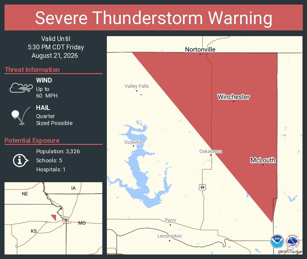
A few strong to severe storms could move into northern Kansas late this afternoon and evening. Damaging wind and hail are the main concerns. Lingering showers and storms are possible tonight. Temperatures then stay close to average with another chance for rain on Sunday. #kswx
Typical late summer weather is expected through the weekend with hit or miss chances for showers and storms. Stronger thunderstorms are not out of the question. #kswx
Fog is clearing across the area this morning, leaving nice summer weather for the rest of the day. Typical late August weather sticks around for the weekend, with near average temperatures. A few chances for scattered showers/storms, but most of the weekend will stay dry. #kswx
A Dense Fog Advisory is in effect for areas along and north of the I-70 corridor this morning (8/20). Drive with extra caution on your way to work and leave plenty of room for other cars in front of you.
Mild temperatures are expected this weekend with the potential for hit or miss showers and storms. We'll have to keep an eye out for stronger storms Friday morning. #kswx