OS intelligence and data is helping illuminate a healthy place for communities across Great Britain.
From helping emergency services make your community safer, to helping you get maximum enjoyment from exploring the outdoors: https://t.co/fvCJdXkPtt
#SeeABetterPlace
Today location data is helping to:
🌍 Support earth mapping projects
📦 Tackle supply chain issues
🍃 Enable sustainable investment in green energy and transport
What's the role of location data for #sustainability in 2023? Discover more: https://t.co/hBU2d9kRQH
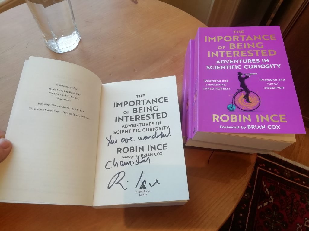
Competition time: If we can get to 15K followers by the coming weekend, we’ll give away two signed copies of the new paperback of @robinince’s Importance of Being Interested. 1 copy for a random new follower, 1 copy for a random person who RTs this.
An uncrewed solar-powered aircraft built has smashed its previous flight duration record by remaining aloft for two full calendar months https://t.co/tJTcT5uRIC
Very excited to reach 8,000 followers! Thank you to all those who like, retweet, comment, or donate. We could not do what we do without your continued support 💜
#animalrescue#rescue#loveanimals#animals#donate
Collaboration is at the heart of OS - from bringing data solutions to help the public and private sectors, to fighting climate change through #geospatial expertise. 1/2
Geospatial data can be used to track the effects of #ClimateChange and monitor ongoing changes.
It can also identify specific areas that require attention, such as green spaces, or locations at higher risk of pollution.
Read our #sustainability report: https://t.co/OK6uSJOojU
In honour of International Women’s Day - Donna Lyndsay, OS Innovation Lead, shares her experience of being a woman in leadership, and how she balances her position with other aspects of womanhood.
Read more: https://t.co/1X51oqUFBT
#IWD#IWD2022#WeAreOS
Find out why any business focussing on #LandManagement, or important environment areas such as land use, habitat loss, vegetation health should talk to OS:
https://t.co/SvFyiz3cKr #EarthObservation#AI
We’ve learnt that #AI isn’t necessarily the silver bullet for everything, but instead a tool for improving operations to support efficient processes and better insight from data.
Faster, bigger data with AI:
https://t.co/hD8dKNy4wX #Geospatial#MachineLearning
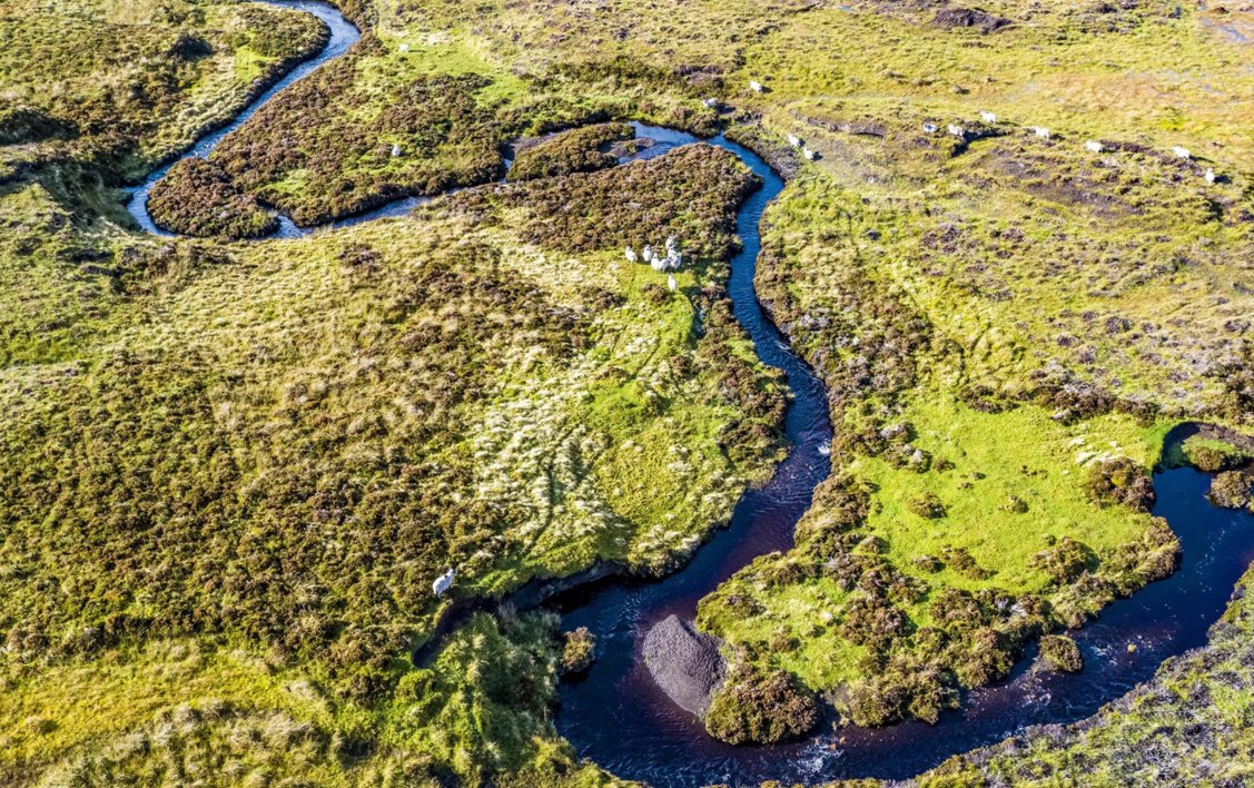
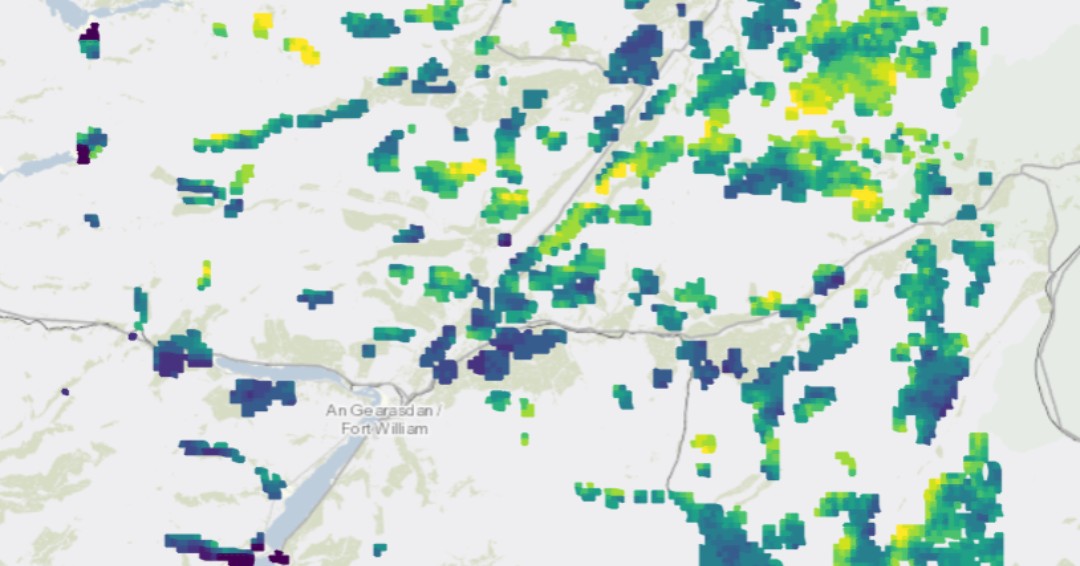
The Peatland Health Index was created by combining multiple layers of satellite imagery, helping us understand the trends and challenges of such an important environment.
Visit us at the #COP26 Green Zone, or view the StoryMap: https://t.co/FQ2KWxrfm1 #TogetherForOurPlanet