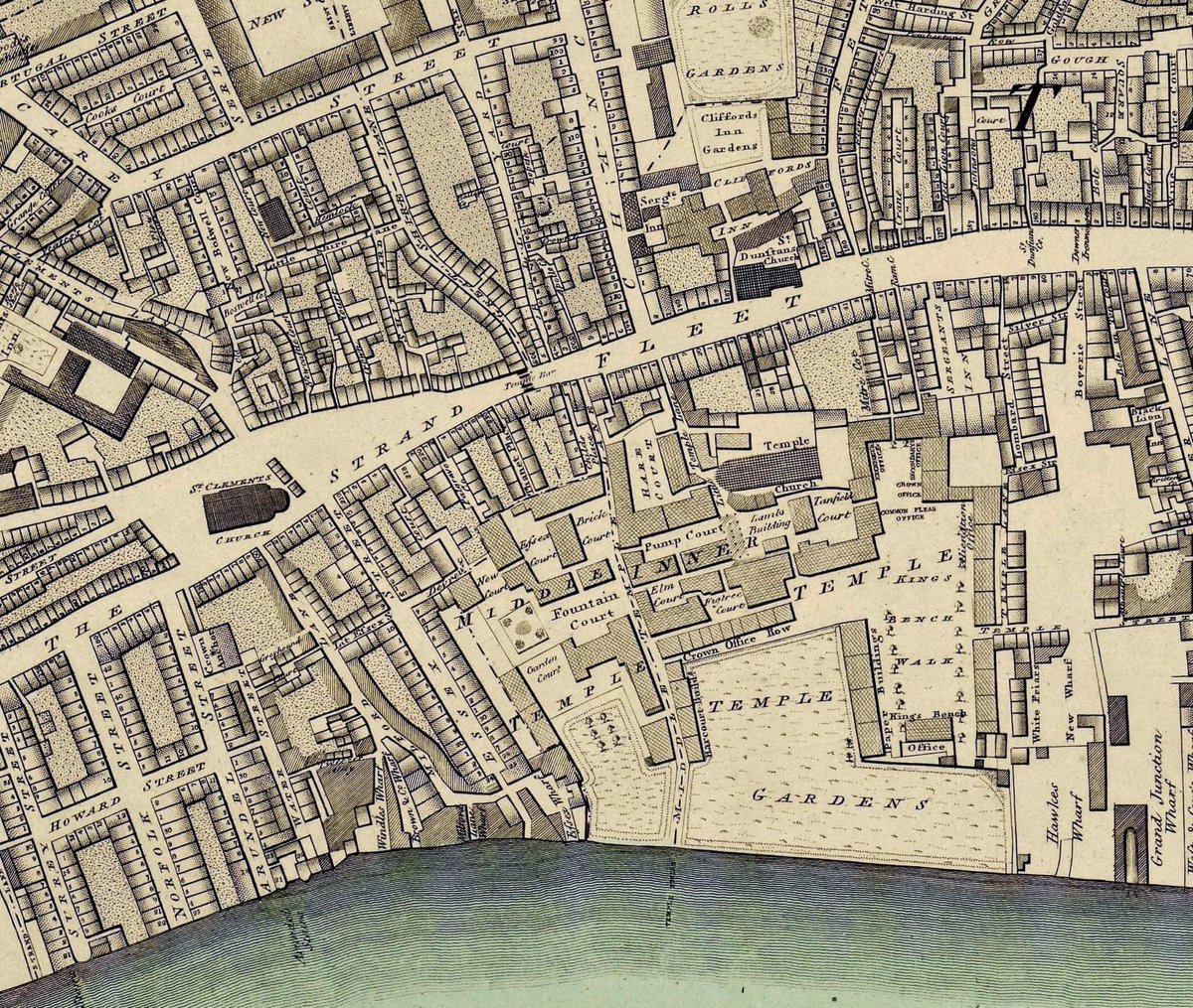
Map of London first published circa 1847. Title and imprint in the border above the map. The margin is divided into miles N.S.E.&W. of the meridian parallel of St.Paul's. Extent: Edmonton - Plumstead - Beckenham - Chiswick #London#Map
Map of south-west Yorkshire first published circa 1884. Republished by Old Folding Maps 2021. Full collection of England county maps available at https://t.co/AxmZPpatA5. #maps#Yorkshire
Map of Nottinghamshire circa 1884. Republished by Old Folding Maps 2021. OFM. The Unfolding World.The map contains information about population, lifeboat stations, & towns with markets etc. Principal roads & all the railways are shown with distance between main towns. #maps
I took every angle; measured almost every line; and after that, plotted and compared the whole work. The engraving, considering the immense mass of work, is, I flatter myself, well done". #Cartographer#Cartography#Maps
In May 1800 Richard Horwood wrote of his map.."The execution of it has cost me nine years severe labour & indefatigable perseverance; & these years formed the most valuable part of my life.
The information contained within the map was a huge undertaking with no other maps depicting such detail at the time. Not only is every street, square, court and alley illustrated - but every individual house.
Richard Horwood's plan of London & Westminster, the borough of Southwark, & parts adjoining shewing every house, took a decade of work to complete. The map itself was produced between the years 1792-1799 when the completed map was initially published.
London, first published circa 1799, republished by Old Folding Maps 2021. Richard Horwood's Plan of London & Westminster, the borough of Southwark, & adjoining parts showing every house. Extent: Lincoln's Inn - St Paul's Churchyard - Hatton Garden - Black Friars Bridge. #Londdon
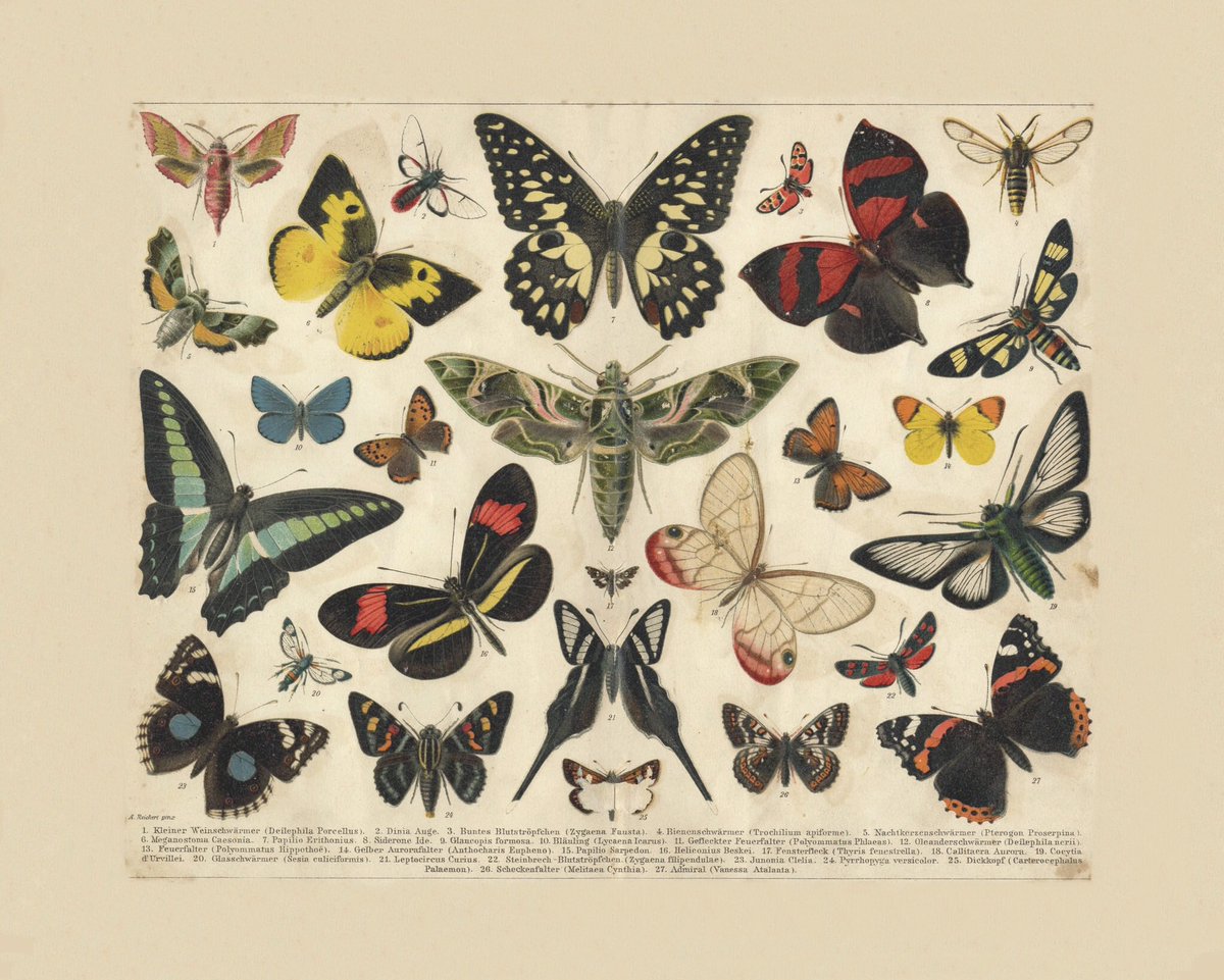
Antique illustration of Butterflies first published c.1895. Republished by Old Folding Maps 2021. OFM. The Unfolding World. 20 x 16”. Pigment ink, archival paper, hand laid on cloth & rolled into a decorative tube or framed in our hand finished moulding. https://t.co/YW2KfoRVC4
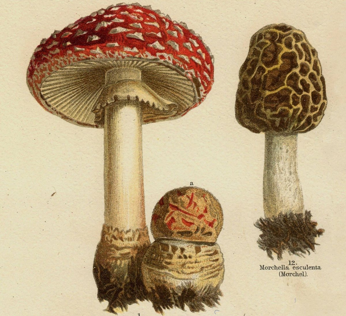
Detail from an antique illustration first published c. 1895. Republished by Old Folding Maps 2021. OFM. The Unfolding World.
Amanita muscaria and morcello.
Full illustration 20 x 16”. Eclectic selection of kitchen art available at https://t.co/AxmZPpatA5
Italy Industries & Communications c. 1900. Steam ship routes, including distance between ports in nautical miles & time taken to travel are clearly labelled. Gibraltar to Naples took 3 1/2 days to travel by steamship in 1900, & Genoa to Messina 5 days. https://t.co/AxmZPpatA5
Spain & Portugal Industries & Communications c. 1900. Steam ship routes, including distance between ports in nautical miles and time taken to travel, are clearly labelled. For example St Michael (Azores) to Gibraltar took 4 days by steamship in 1900, & London to Bilbao 3 1/2 days
Maps depicting the various natural resources & manufactures of every country, shown in their proper positions, together with the means of transport to the nearest ports & the various steamer routes connecting these ports with other countries. Published circa 1900. #maps
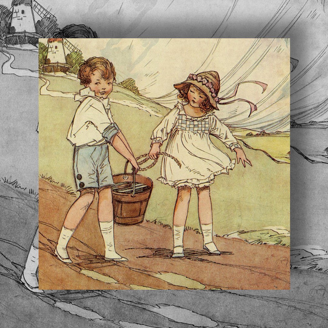
A smile can do a lot of good so be kind and smile at someone today, you never know what it might mean to them to see a friendly face #WorldKindnessDay#kindfest2020