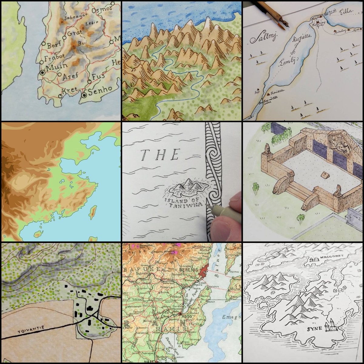
Hi there - I'm Mikael, a freelance cartographer and geographer from Finland. I make all kinds of maps, mostly hand drawn, and I take commissions too. Visit my website at https://t.co/g0St132beC. I'm much more active at Instagram https://t.co/mPv1hWHuxZ.
I'm happy to reveal this map of the town of Lackmore I recently drew for Nathaniel Webb's cozy fantasy novel "Bard City Blues". It was a fun project, as always with @nat20w (I think it's my third published map for him), and I'm personally very pleased with the result, too!
Just a small map for practice. As you can see, I tried using exactly the same style as in the Lord of the Rings map by Christopher Tolkien. It's a very influential map, and style, so it was fun to make a small study about it. #LOTR#middleearth#Tolkien
@TheFilipMagnus@benedictpaddy@RoboftheHayes Thanks a lot for your kind words! It was a pleasure working with you, Benedict. I'm having a temporary break from mapping so didn't notice this earlier, but I'm taking commissions again in autumn.
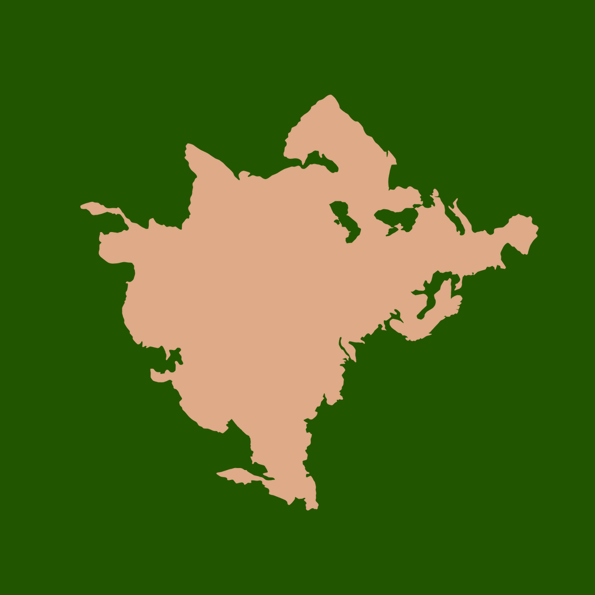
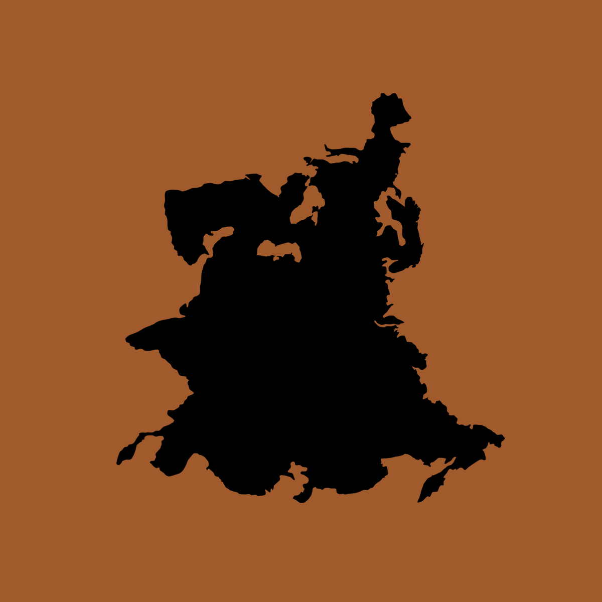
What's the true shape of Eurasia? Couldn't find a good #map so I made it myself. Azimuthal equidistant #projection centered on 46N 80E. Just the landmass without islands and distortions caused by overused orientation and projection conventions. The result is a bit surprising.
I made a coloured version of the space postcard design from last year - I think blue and gold look beautiful in night sky illustrations! Btw, this drawing, the original b&w version, and some of my other drawings are available as prints in my INPRNT store: https://t.co/sgcVS3vcMY
Map 3/3 for the hardback editions of Darkstar books by @benedictpaddy
, including the newly published novel "The Return of the Whalefleet". It's a hand drawn #illustration of a flying ship and actually my first serious drawing of a ship. #bookmap#bookstagram#fantasyart
Here's the #bookmap drawn for @benedictpaddy for the 2nd novel in the Darkstar series, "The Return of the Whalefleet", which will be published very soon. The map is similar to the map I drew for the first novel, but with many new details in the Dimension, and a floorplan too.
@Dinasaidso1@mforbeck Thanks for mentioning me, Dina! Yes, I draw all kinds of maps, including interior maps. I'm specialised in fictional geography as a geographer myself. There are many talented cartographers listed here!
Here's the first complete map (1/3) for the Darkstar books by @benedictpaddy . I had a lot of fun drawing this - tried to do my best with both the layout of the unconventional world and with the black and white linework. The map is hand drawn, 28*34 cm in original size. #bookmap
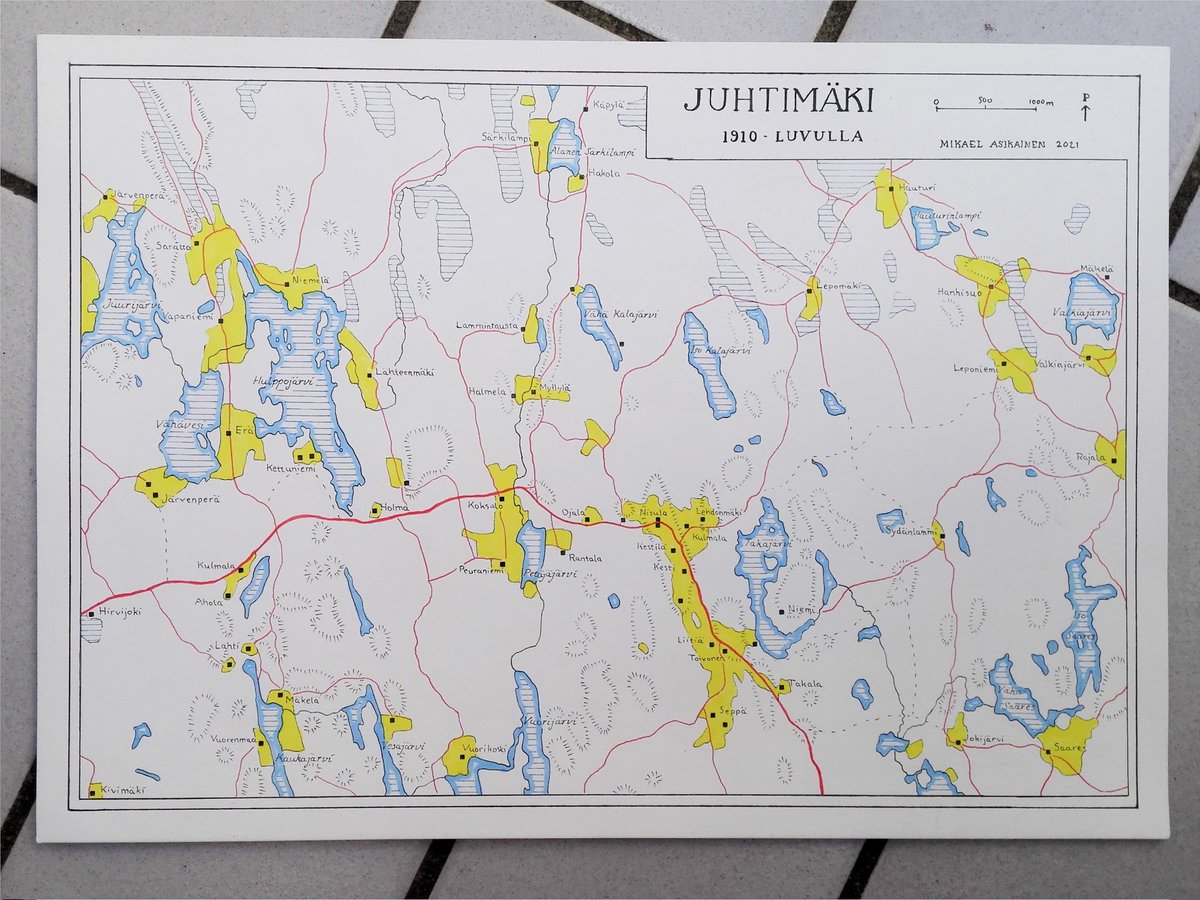
A recent commission - a new historical map of Juhtimäki village in Ikaalinen. House locations, fields and roads from 1911 map, accurate lakes and rivers from modern maps, labels from 50's map, style from 20's maps. All compiled with light box to an exact hand drawn map.
I've been working on three maps for the Darkstar novels by @benedictpaddy lately. First map is now finished, won't show it yet, but here's a sneak peek! The project is happening thanks to a successful @Kickstarter campaign, and I'm really happy with the progress so far!
Here's the full map of the hotel. It was fun to try to think like an architect - the building didn't only have to make sense with the story, but also make sense as a building. I'm personally really happy with the result. #floorplan#architecture#bookmap#map @nat20w
"A Conventional Murder" by Nathaniel Webb @nat20w is out now - and with a map drawn by me! The book is set in a hotel, so the map is actually a floorplan. The map was drawn just last month, great to see it already printed it the book! (Full map in second tweet)
@Rob_Bombadil @SubatomicHunter @Keskiaika Thank you! I drew the buildings and big tents in military projection, where the building footprints keep their true shape. I've learned it to be a good choice in this kind of maps.
I had the honour of working with the festival map for @Keskiaika. But instead of drawing one map, I drew a blank base map of Häme Castle area to scale, and dozens of small icons. The map was compiled digitally and can be modified every year. Some kind of #handdrawn#GIS !
Here's the biggest map I've ever drawn, over 2m in length. I was commissioned to draw a remake of a 1726 map of Rantasalmi last year. I reconstructed the map based on a low-quality copy and scans of the original map, using authentic tools. Different and interesting project!