Orbit GT is part of Bentley Systems since end of 2019! We invite you to subscribe to the @BentleySystems channel to follow-up our exciting advancements in reality modeling. This channel will be shut down in the coming weeks! #Orbit3DM#BentleySystems#ContextCapture
3D Mobile Mapping für die Stadt Zofingen
Die Stadt Zofingen setzt neu auf Hightech für die Erfassung der Strassenschäden. Tele M1 Newsbeitrag vom Freitag, 22. November 2019.
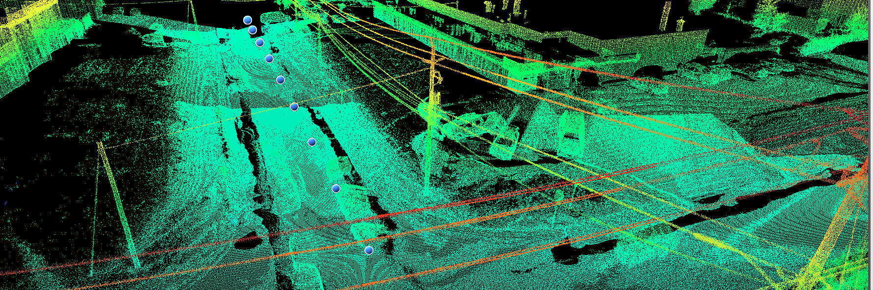
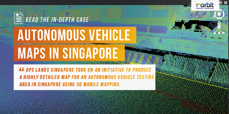
@orbitgt GPS Lands Singapore took on an initiative to produce a highly detailed map for an autonomous vehicle testing area in Singapore using 3D Mobile Mapping system to collect the data and perform feature extraction using the 3D data. Read more: https://t.co/g3OG6EijmR
@orbitgt With huge amounts of data, comes great challenges. Andrzej Jaroszewicz, Managing Director at TPI, talks about the importance to be able to handle, access and secure this data. This is where Orbit GT plays a key role. Watch the full interview: https://t.co/QPnUz5FiBX
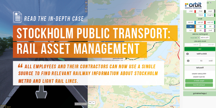
@orbitgt A WSP’s project team has developed a method and process for accurate documentation of the track environment and has built up an asset database where every object is classified, documented and georeferenced. Read the case story: https://t.co/wjBEUxDKBY #3dmapping
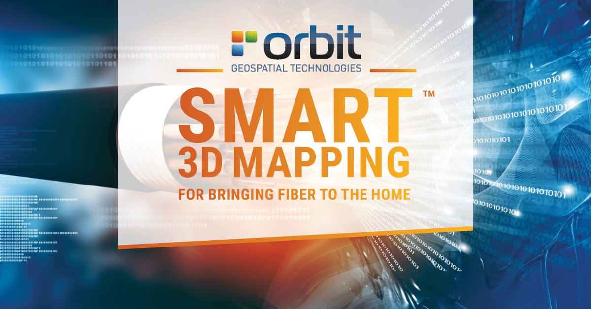
@orbitgt We’ve seen many telco operators struggle with their asset inventories. Do you recognize these questions: where are my poles? What cables are attached? Is there space enough for my new fiber? You're not alone! Learn how to tackle these issues: https://t.co/GtENOM6qB8
Eric Low, Project Manager at GPS Lands, talks about their initiative to produce a highly detailed map for an autonomous vehicle testing area in Singapore using 3D Mobile Mapping system. Watch the full interview here: https://t.co/vCmIpk5MTw
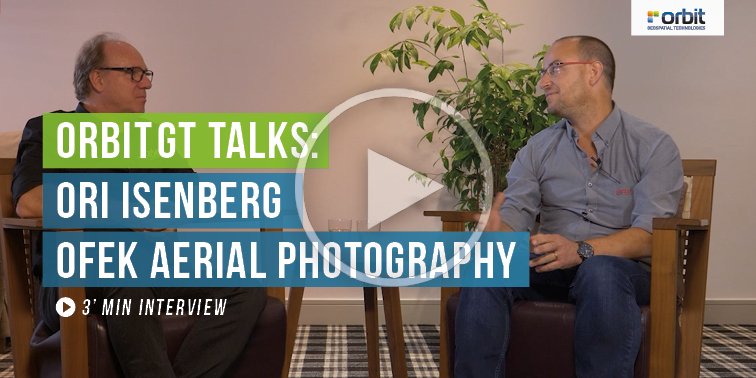
@orbitgt Ofek Aerial Photography has been working with us for more than 7 years. Over the years, their usage of our Orbit products have become bigger and bigger. Listen to what Ori Isenberg, GIS Technology Manager at Ofek Aerial Photography has to say: https://t.co/kyUcuXYGPq
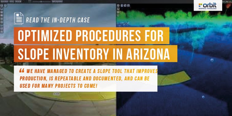
@orbitgt "We have managed to create a slope tool that improves production, is repeatable and documented, and can be used for many projects to come", says Gentry Nissen, GIS Specialist at BPG. Read the case story: https://t.co/0o5G1Tlzd3
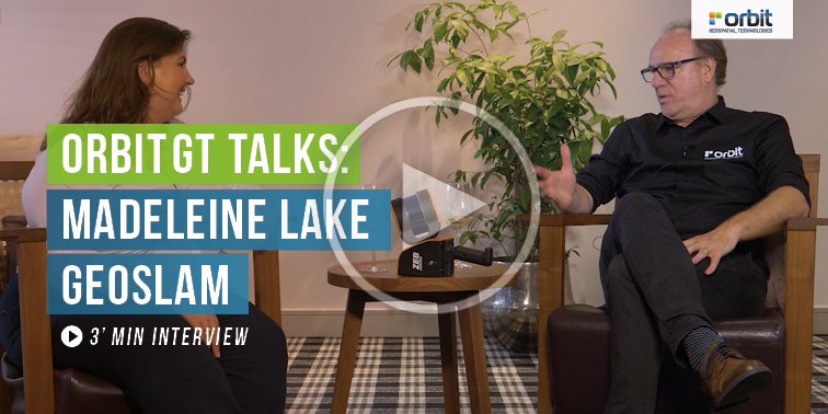
@orbitgt Madeleine Lake, Key Account Manager at GeoSlam, talks about the importance to not just be able to capture data quickly, but to be able to combine different datasets together. Watch the full interview: https://t.co/UfylRphFbN #3dmapping#3dmcloud
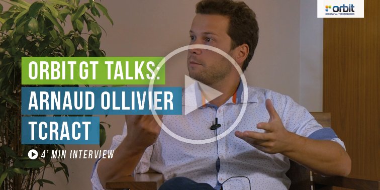
@orbitgt Arnaud Ollivier, director at TCract, talks about his goal to offer his customers a solution to manage their data and to have someone on board who understands the market and the technical need. Watch the full interview here: https://t.co/oq85xkMtKZ
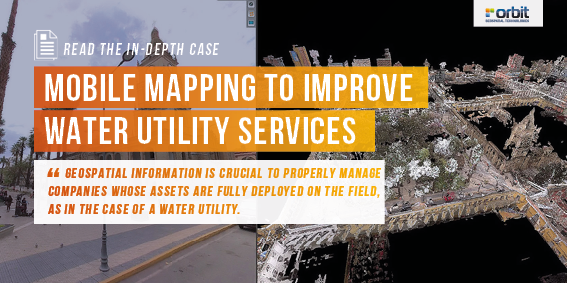
Mobile Mapping to improve water utility services in Bolivia: "We were able to gather up to 500.000 images, each in an 8,000-by4,000-pixel resolution, totalling a volume of 3TB." Read the case story here: https://t.co/RSMvpdOo7k