6 fire seasons. Two teams. One mission: the right resources, right place, right time. 🇨🇦
5 years in, we're still combining @SOPFEU’s decades of wildfire ops experience with our thermal intelligence from space to protect 52M hectares of Québec.
#WildfireManagement#Canada
Another step towards helping protect Colorado!
Our #wildfiredetection system is now fully operational across the @AspenFireDept ✅
Aspen already had one of the best camera networks in the region. It just couldn't see everything. Our satellites close that gap.
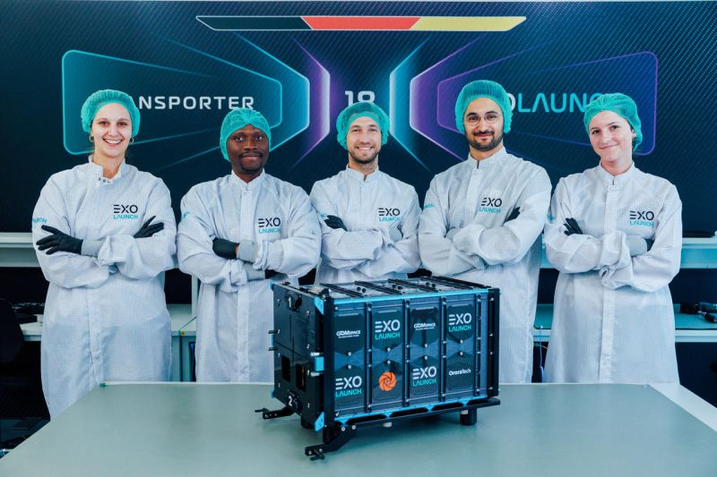
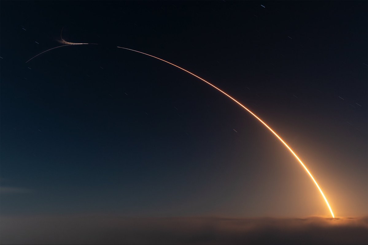
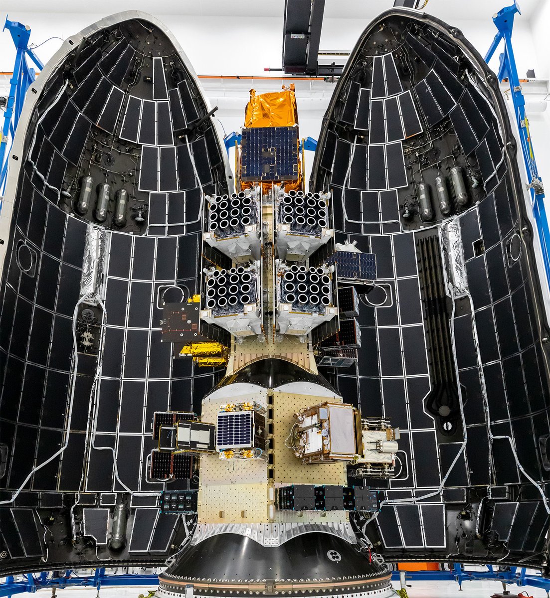
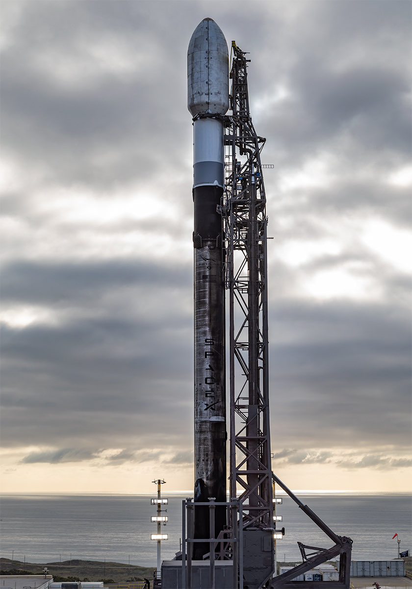
@OroraTech has once again selected Exolaunch to deliver FOREST-20 into orbit aboard @SpaceX’s Transporter-18 mission, targeted no earlier than October 2026.
We're proud to continue supporting OroraTech as it builds a safer, more climate-resilient world from space 🇩🇪 🚀
No gaps. No pauses. Just data, every single day, for weeks. 🇺🇸
Watch OTC-P1, our thermal-infrared constellation, scan the Western US daily over the past two to three weeks.
Wildfire risk there ranks among the highest in the world.
#PersistentMonitoring
The Hawk Fire in Nevada, viewed 12 hours apart, as seen from space via @OroraTech. It’s over 10k acres and now wind is pushing east toward Reno, and spotting.
@fishright Hi Mike, apologies our team has been extremely busy with the emergency. I’ve alerted the local team to take your inquiry, you should expect a reply soon. Thank you for reaching out, we’ll do our best to find a way to support you.
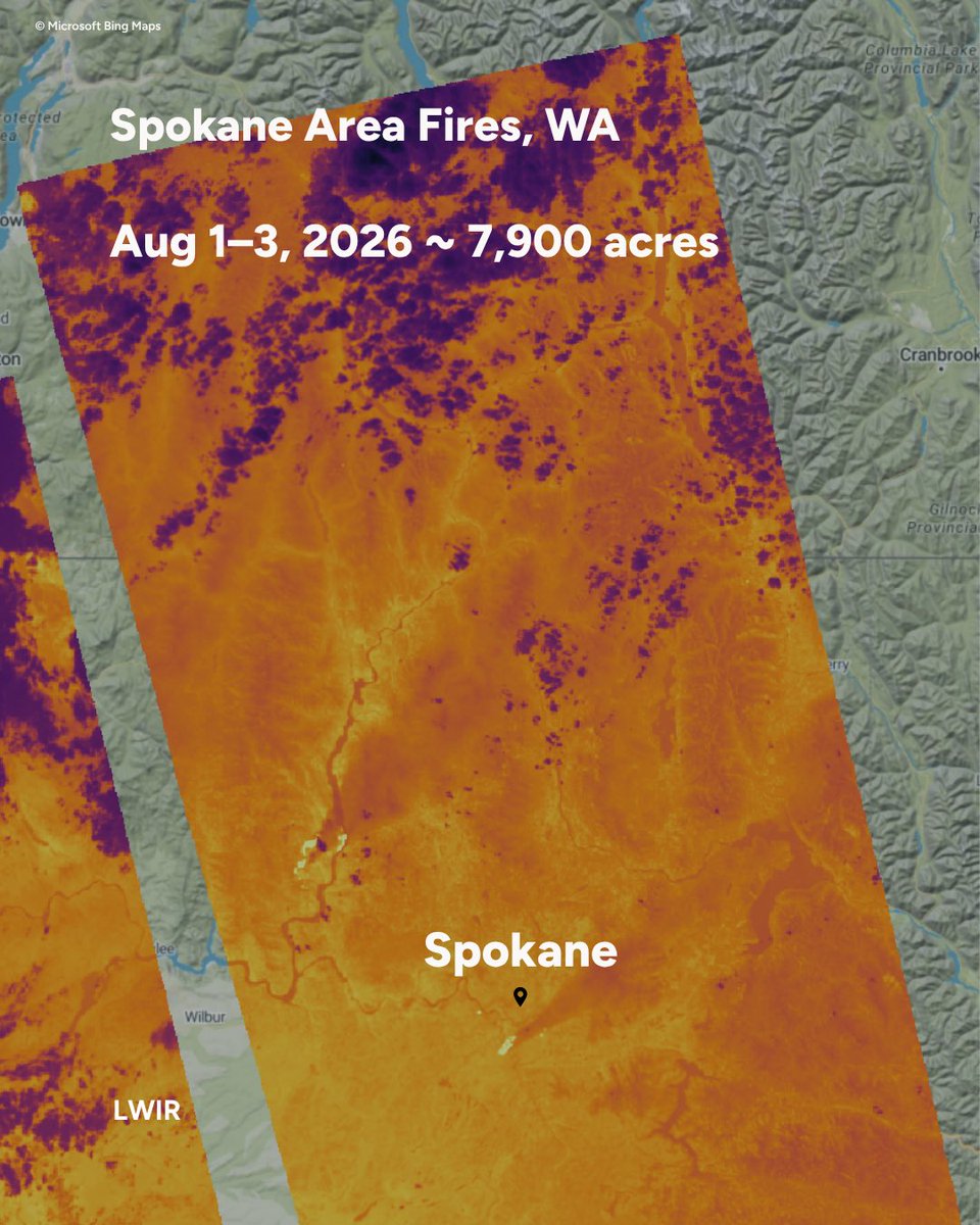
Spokane fires, Washington.
🚨Our team is opening free access to our Wildfire Solution to any fire departments, emergency management or local government supporting the response.
👉 Reach out and our local team will set you up and guide you for the duration of the emergency.
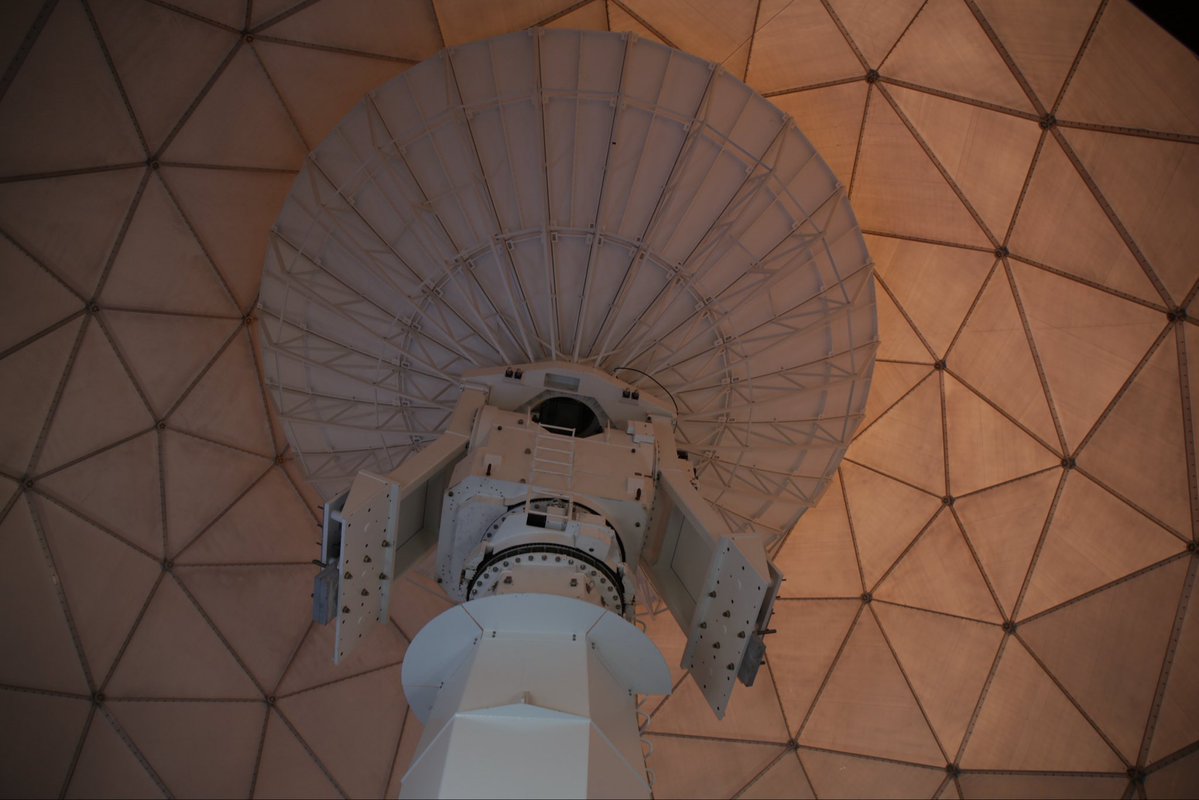
Our satellites collect thermal data in orbit. Ground stations bring that data back to Earth.
Thanks to @KSAT_Kongsberg we got dedicated antenna capacity at their Svalbard site, one of the world's most strategically located ground station networks for polar-orbiting satellites.
On 22 July, a wildfire broke out near Almorox, Toledo, before spreading toward Villa del Prado, Madrid.
Our thermal data supported the Copernicus EMS Rapid Mapping activation requested by Spanish Civil Protection.
We’re currently still supporting the affected areas.
The Rock Fire (California) ignited in a blind spot no ground camera could reach.
Our OTC-P1 constellation caught it anyway, at 4:37 PM PT, six hours before any public satellite picked it up.
#Californiafires#Wildfireseason
Wildfire consequences don't have borders. The air we breathe, the homes we lose, the fires we fight: none of it stays in one place.
Ontario's wildfires are pushing air quality to hazardous levels across Canada and the northern US.
If you’re feeling the heat this week, you’re experiencing part of Europe’s growing wildfire challenge.
Watch EIB's new documentary featuring OroraTech, on how technology and collaboration are helping authorities respond to wildfires faster.
https://t.co/SYWvZZBQuP
HFS is part of OroraTech’s mission to detect and monitor wildfires from space using thermal satellite data.
Launched in May, the satellites are now on their way to the next chapter.
Soon, we’ll see what they were built to do.
#HFS#WildfireIntelligence
We achieved first light from @KeplerComms 🛰
The four thermal sensors we integrated into @KeplerComms satellites are scanning the earth, giving you a first glimpse of what a global #thermallivestream could look like!
Discover more about the mission!
👉 https://t.co/50zd2kn26S
OTC-P1, the world’s first dedicated wildfire constellation, is operational and delivering measurable value!
In Laveno Mombello, Italy, OTC-P1 detected an active wildfire before any other LEO satellites, nearly 15 minutes before MODIS. 🛰🔥
#spaceintelligence
@BrownUniversity Interesting study. This is another example of how #wildfire activity is occurring in ecosystems and elevations where it has traditionally been rare, demonstrating the importance of satellite-based monitoring and early detection in expanding fire environments.
@azwater Drought is one piece of the equation. With an expanding wildland-urban interface and increasingly volatile fire conditions, the challenge is shifting toward earlier detection and enhanced real-time awareness to support faster #wildfire response.
The Hellenic Fire System successfully launched!
🚀 Just one week after launch, all four satellites are healthy and performing beautifully, sun-pointing, fully charged, and in strong contact with the ground.
A strong start for the fleet!
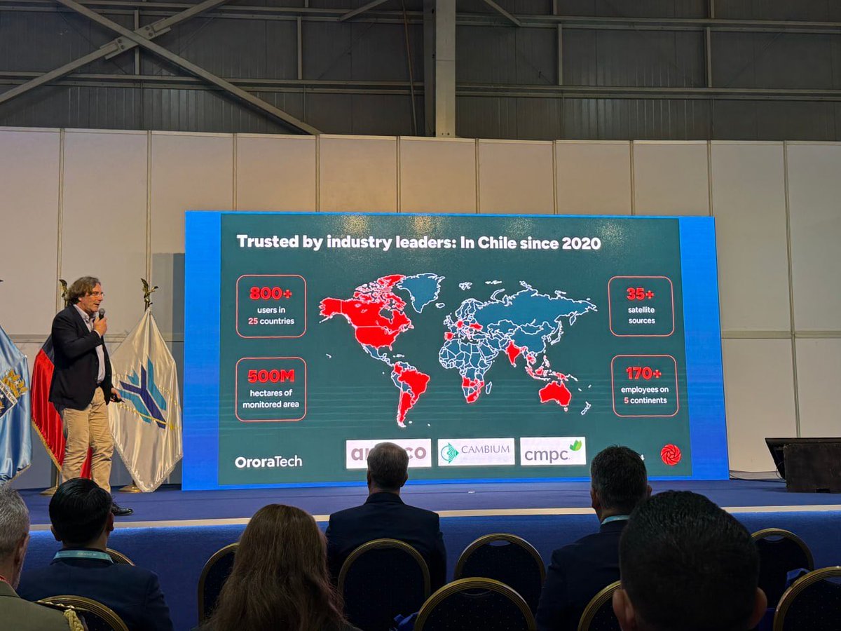
At FIDAE, Chile’s International Air & Space Fair, we joined forces with partners and experts to showcase how #satelliteintelligence can support LATAM.
Thank you to @Fuerzaereachile for inviting us!