The energy of last year’s OroraTech International Wildfire Conference is still with us.
Now, we’re getting ready for what’s next!
🚨Applications are open for the 4th edition.
⏰ October 12–13 2026.
📍 Miesbach, near Munich, Germany.
Request a seat 👉 https://t.co/pDx9t2ItFb
We achieved first light from @KeplerComms 🛰
The four thermal sensors we integrated into @KeplerComms satellites are scanning the earth, giving you a first glimpse of what a global #thermallivestream could look like!
Discover more about the mission!
👉 https://t.co/50zd2kn26S
OTC-P1, the world’s first dedicated wildfire constellation, is operational and delivering measurable value!
In Laveno Mombello, Italy, OTC-P1 detected an active wildfire before any other LEO satellites, nearly 15 minutes before MODIS. 🛰🔥
#spaceintelligence
@BrownUniversity Interesting study. This is another example of how #wildfire activity is occurring in ecosystems and elevations where it has traditionally been rare, demonstrating the importance of satellite-based monitoring and early detection in expanding fire environments.
@azwater Drought is one piece of the equation. With an expanding wildland-urban interface and increasingly volatile fire conditions, the challenge is shifting toward earlier detection and enhanced real-time awareness to support faster #wildfire response.
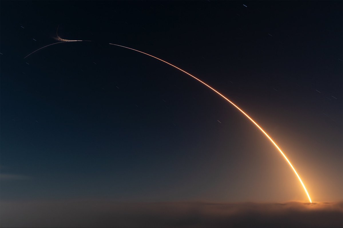
The Hellenic Fire System successfully launched!
🚀 Just one week after launch, all four satellites are healthy and performing beautifully, sun-pointing, fully charged, and in strong contact with the ground.
A strong start for the fleet!
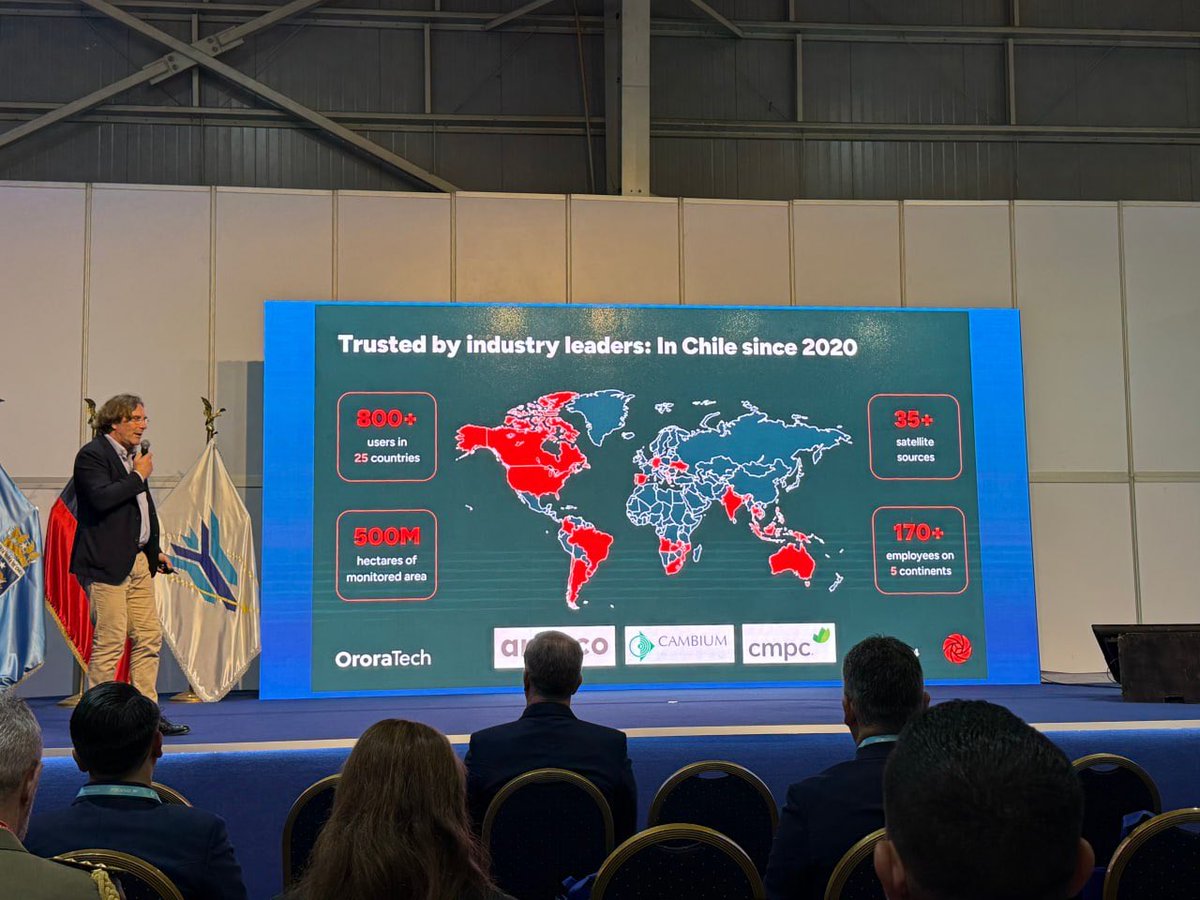
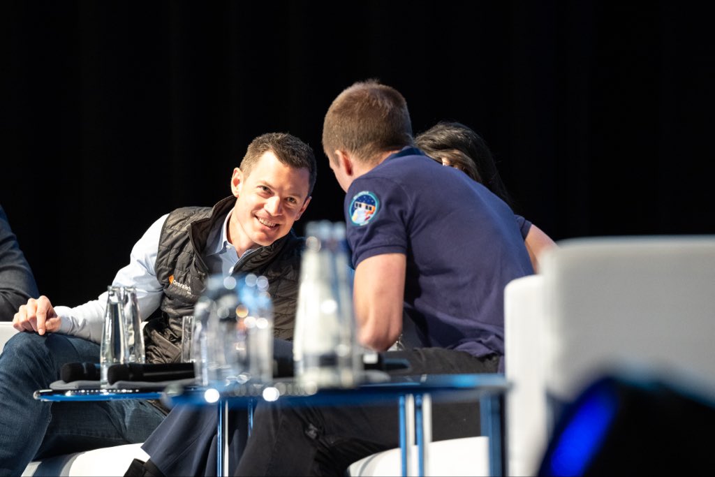
At FIDAE, Chile’s International Air & Space Fair, we joined forces with partners and experts to showcase how #satelliteintelligence can support LATAM.
Thank you to @Fuerzaereachile for inviting us!
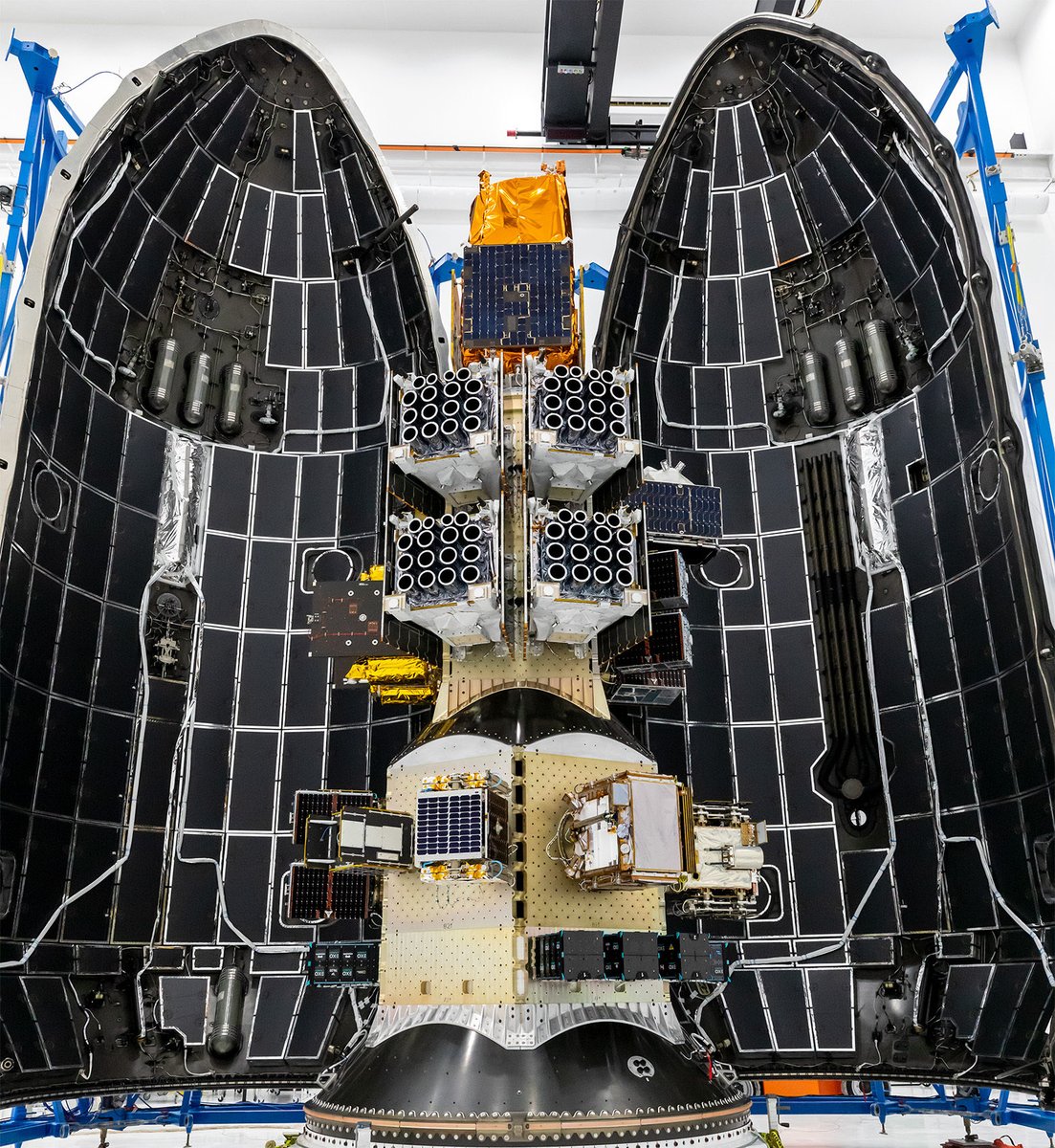
Behind the scenes, inside our labs, a dedicated team has worked with passion, precision, and determination to build the four satellites that will provide #Greece with a national #wildfiremonitoring system.
Stay tuned. Launch is coming this spring!
@ryankatzrosene Definitely a concerning start to the year. With low snowpack and hotter, drier weather ahead, forecasters predict an active #wildfire year in the U.S. The ability to quickly detect ignitions and monitor progress is becoming more important than ever for effective response.
New in our Wildlife Solution! 🚨
You can open a wildfire snapshot directly in a public @Esri map, no login required!
Click on a cluster and publish a snapshot to ArcGIS Online, making it simple to share data with external stakeholders and plug it into existing GIS workflows!
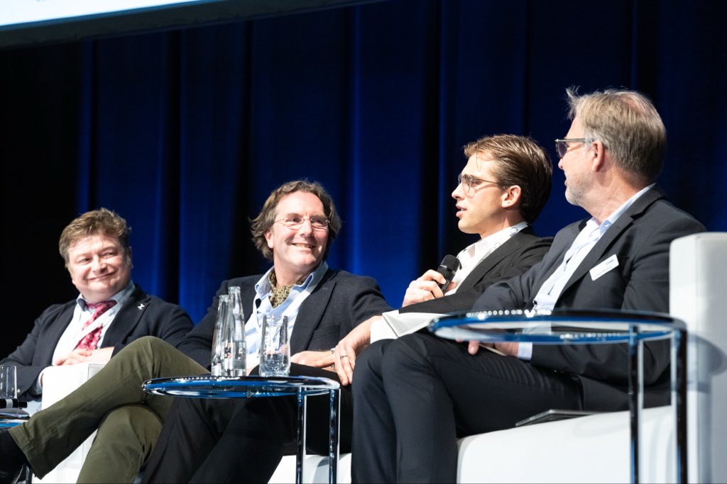
Civil protection and security operations are converging.
At #MunichSpaceSummit, we discussed resilience and how space-based capabilities support global challenges.
From wildfire tracking to industrial monitoring the need is the same: fast decisions powered by reliable data.
@VanDamCNN@CNN This extreme drought, along with reduced snow pack, is leading to forecasts of a highly active wildfire season in Colorado and across the western US. Satellite detection and monitoring of wildfire spread will be critical to protecting lives and property in the months ahead.
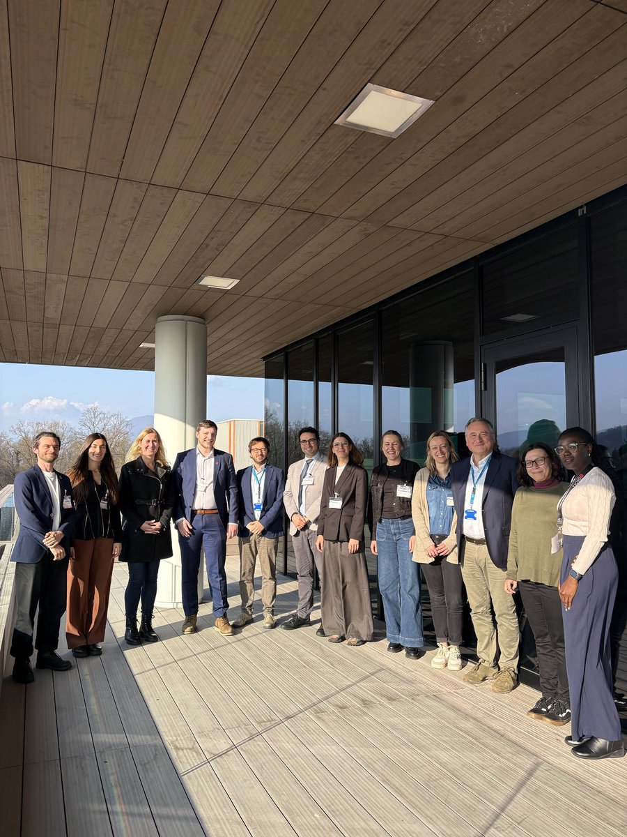
Together with @esa’s #Copernicus Emergency Management Service, we held a workshop to explore how our Wildfire Solution and #thermaldata can strengthen emergency response during fire events.
Read @ESA_EO’s article to know more about it 👉 https://t.co/7LVWYYxjZo
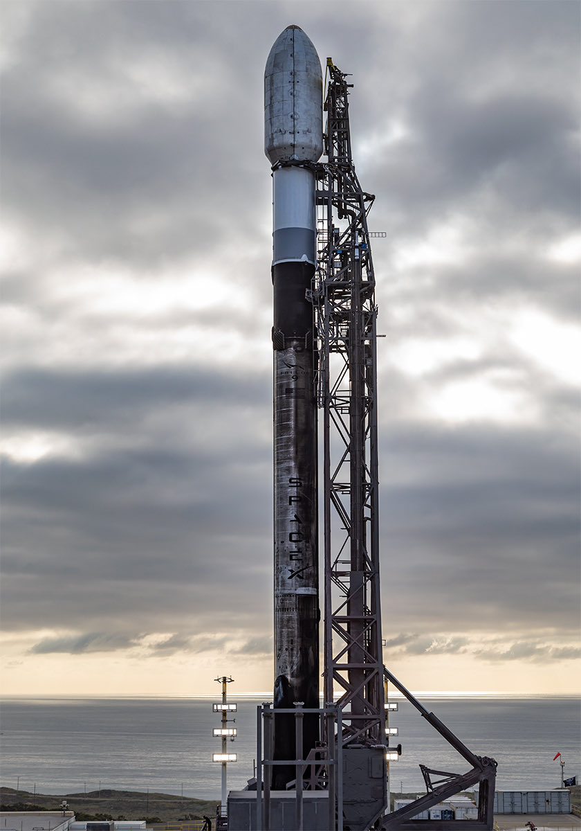
The Hellenic Fire System, a dedicated satellite constellation for Greece, will be in orbit in a month, opening a new chapter in wildfire intelligence from space.
🛰️ Built to protect. Designed to see through challenging conditions.
A shared project with @MinDigitalGr and @esa.
Know exactly how close fire is🔥
New in our platform: Distance to Assets, a centralized view of wildfire activity across your area of interest, showing proximity to critical infrastructure.
Upload assets, via Shapefile/GeoJSON, and track nearby fire risk as conditions evolve.
We joined the exhibition at Athens Metro Station marking 20 years of Greece’s membership in @ESA, a key milestone for the country’s space ecosystem.
Next up: the launch of our Hellenic Fire System with @MinDigitalGr a major step for space innovation in Europe 🛰
@NewsOn6 Our thoughts are with the impacted families and crew responding. When routine prescribed burns escalate this quickly, it reinforces the importance of improving wildfire readiness, detection, and real-time fire intelligence.
Protecting Argentina with @rionegrogob! 🇦🇷
Orlando Baez, Head of #SPLIF, Rio Negro's Forest Fire Prevention and Fighting Service, explains how our satellite intelligence is transforming wildfire response on the ground.
#patagonia#argentina#incendiosforestales
@CTVCalgary This is great advice for residents! For firefighters, real-time satellite detection and monitoring helps track wildfire activity as it develops, supporting faster, safer, and more informed response decisions.
@TheOklahoman_ As wildfire risk increases, understanding where fires may ignite is critical to managing their spread. Satellite detection and monitoring can help crews track wildfires and make faster, more informed decisions.