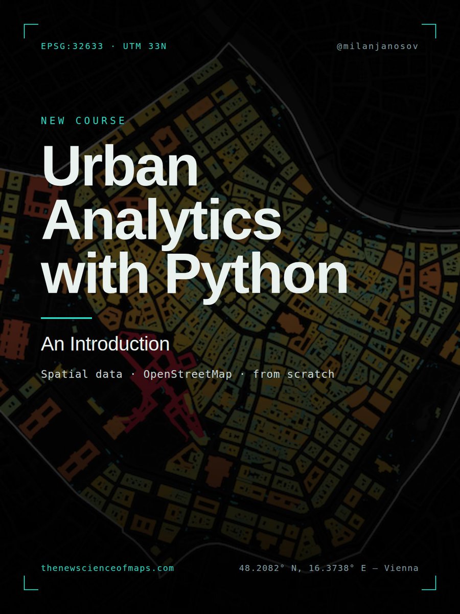
𝐔𝐫𝐛𝐚𝐧 𝐀𝐧𝐚𝐥𝐲𝐭𝐢𝐜𝐬 𝐰𝐢𝐭𝐡 𝐏𝐲𝐭𝐡𝐨𝐧 — 𝐒𝐩𝐚𝐭𝐢𝐚𝐥 𝐃𝐚𝐭𝐚, 𝐎𝐩𝐞𝐧𝐒𝐭𝐫𝐞𝐞𝐭𝐌𝐚𝐩, 𝐚𝐧𝐝 𝐭𝐡𝐞 𝐁𝐚𝐬𝐢𝐜𝐬 𝐨𝐟 𝐔𝐫𝐛𝐚𝐧 𝐀𝐧𝐚𝐥𝐲𝐭𝐢𝐜𝐬
Get started with urban analytics in Python following my new course:
1 · Setting Up — The study-area pattern the whole course runs on: one place name resolves to an administrative boundary, and everything clips to it. Change one string, and the analysis re-runs on a new city.
2 · Acquiring Urban Data from OSM — Boundaries, cafes, parks and footprints, pulled from OpenStreetMap by tag. Pull a generous bounding box, then crop it to the exact shape with a spatial join.
3 · Buildings — Every footprint via one query, the messy tag table screened down to what's actually populated, mapped by function, and measured in real square metres. (And why a footprint isn't floor space.)
4 · Road Networks — The city as a graph of intersections and segments. Drive vs. walk networks, structural hubs, segment-length texture, and road-class hierarchy.
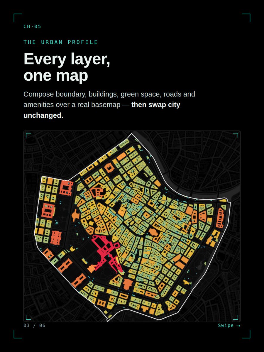
5 · Basemaps, Projections & the Urban Profile — Real basemaps, the declare-vs-reproject CRS distinction every measurement depends on, and every layer composed into one urban profile — then swapped Vienna → Budapest unchanged.
6 · The Livability Index — All 23 Vienna districts. Ten OSM KPIs across five dimensions, normalised and weighted into a single rankable, mappable score — with every assumption on the table.
𝐒𝐚𝐦𝐩𝐥𝐞 :https://t.co/YJmMH4uOBC
▶ 𝐄𝐧𝐫𝐨𝐥𝐥 𝐧𝐨𝐰 https://t.co/qKM1WD1fnm
🗺 𝐓𝐡𝐞 𝐍𝐞𝐰 𝐒𝐜𝐢𝐞𝐧𝐜𝐞 𝐨𝐟 𝐌𝐚𝐩𝐬: https://t.co/dhdrB98c5J
Happy Birthday to @kateregga1 ! 🎂
The OSMGhana community celebrates you and appreciates your contributions to the #OpenStreetMap and wider #mapping community.
Wishing you good health, continued success, and many more milestones in the year ahead. 🗺️🎈
#MappingCommunity
Meet our QGIS Trainer for today’s session! 🌍
We’re excited to have him lead participants through a practical exploration of QGIS, open-source mapping and geospatial technology.
Get to know the expert behind today’s training 👇
#QGIS#GIS#OpenSource#FOSS#DigitalSkills
Join us for a practical session on Introduction to QGIS Plugins.
📅 21 Aug 2026
⏰ 4:00 PM GMT | 6:00 PM CAT
🔗 https://t.co/m7gg556kOr
Learn how plugins can improve your mapping and #GIS workflows.
#OSMGhana#YouthMappers#QGIS#OSM
🌒 Will you see the August 12 #SolarEclipse?
Explore its path, visibility and exact timing with Eclipse Explorer in OsmAnd #Astronomy.
Tutorial — https://t.co/VlNsKE6oY3
👉 Maps+ and OsmAnd Pro are now 50% off.
⏳ Summer Sale ends August 5.
#Eclipse2026
At OSM Ghana, nation-building is also mapped;through data, collaboration, and open knowledge.
Every road mapped, every community documented, and every dataset shared strengthens a more informed and resilient Ghana.
Proud of #Ghana. Proud of our community. Proud to contribute 🇬🇭
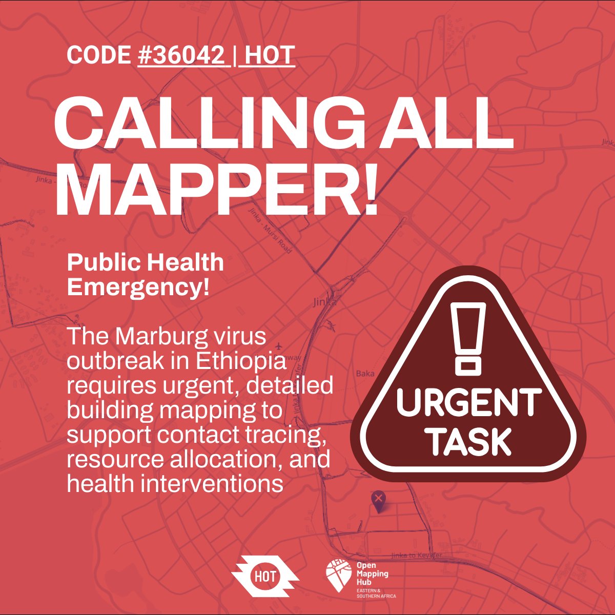
📢 Calling UN Mappers 📢
We are supporting the response activation to map buildings in DRC.
🗺 Features to map: buildings 🏘
🌐 Open to all
📍 Map: https://t.co/QEoxe9Z6Dr
More info: https://t.co/SFK0VbOhDV
#UNMaps#UNMappers#OpenStreetMap#disastermapping#volunteering
How do high performers stay productive in a world full of distractions?
Find out with Ms. Florence Toffa, Director of Mobile Web Ghana, at our upcoming webinar on digital productivity and workflow.
June 5 | 6 PM GMT
Zoom | Free Participation
#DigitalProductivity#DigitalSkills
Our Let Girls Map Campaign took to the field last Friday to put mobile mapping into action across the UCC campus. Using the Every Door app, we mapped critical streetlights and road signs to improve campus safety and navigation.
We don't just build maps, we build mappers!
To our community members celebrating, we wish you peace, joy, strength, and abundant blessings this Eid season.
May the spirit of sacrifice, compassion, and service continue to inspire us to map for impact and support communities that need to be seen.
#EidAlAdha#EidMubarak
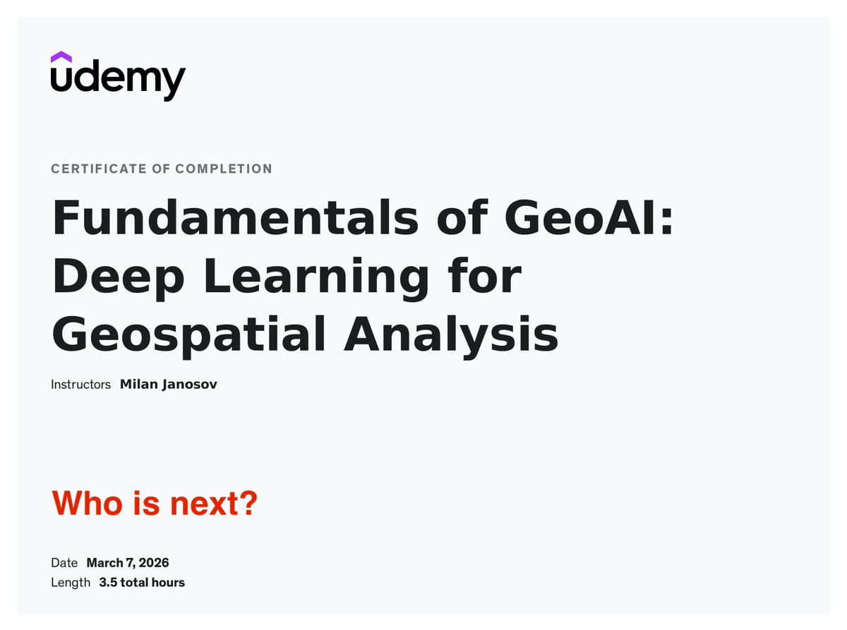
Looking for a certificate in #GeoAI? Here it comes:
🚀 𝐅𝐮𝐧𝐝𝐚𝐦𝐞𝐧𝐭𝐚𝐥𝐬 𝐨𝐟 𝐆𝐞𝐨𝐀𝐈 - 𝐃𝐞𝐞𝐩 𝐋𝐞𝐚𝐫𝐧𝐢𝐧𝐠 𝐟𝐨𝐫 𝐆𝐞𝐨𝐬𝐩𝐚𝐭𝐢𝐚𝐥 𝐀𝐧𝐚𝐥𝐲𝐬𝐢𝐬
𝐓𝐡𝐞 𝐜𝐨𝐮𝐫𝐬𝐞: https://t.co/QjRpY7w3Cb
𝐅𝐮𝐥𝐥 𝐨𝐮𝐭𝐥𝐢𝐧𝐞: https://t.co/E9958dJ0DC
🌙 Eid Mubarak from OpenStreetMap Ghana!
May this season of gratitude and renewal inspire us to keep building open, inclusive maps for all. 🌍
#EidMubarak#OSMGhana#OpenMapping
💜 Happy International Women’s Day!
We celebrate the amazing #women mapping communities and building #opendata.
Theme: “Give to Gain.”
When women share knowledge and skills on #OpenStreetMap, we all gain stronger, more inclusive maps. 🗺️#IWD2026#GiveToGain#WomenInMapping
🇬🇭 Happy 69th Independence Day
At #OSMGhana we celebrate by empowering communities through open mapping and open data.
Every road mapped on #OpenStreetMap helps build a more visible and resilient #Ghana.
Let’s keep mapping opportunities for our nation. 🇬🇭
#GhanaAt69#OpenData
Registration is open for the next 2 courses in our #QGIS track. If learning and mastering QGIS has been on your wishlist, check out our live, online instructor-led cohort-based classes. Register at https://t.co/AyBJ2M8MqK
*Up Next*: ✨ Master Your References with Ease!
Join us this Saturday for a practical training session on Referencing with Mendeley. This session is designed to help students learn how to organize their sources, manage citations, and reference their research .