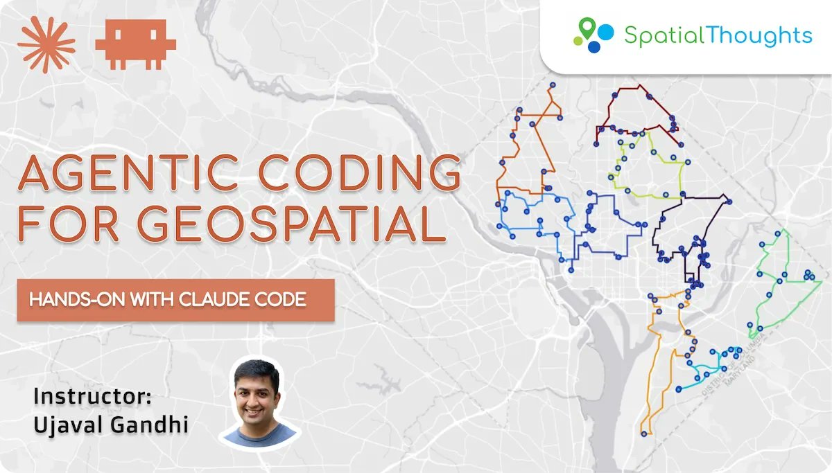
One of the hardest things I did over the past few months was to build a course to teach agentic coding techniques for geospatial problems. After endless hours of testing, refining, and writing, the full course is now launched - free and open to everyone➡️https://t.co/UrnRbYHchB
Spent the last week at Cloud-Native Geospatial Forum (CNG) Forum 2026 at Snowbird, Utah. Here’s my post where I have shared my thoughts on the conference along with links to resources ➡️ https://t.co/WtWX5qm3n4
Last chance to join the next cohort of our "Python Foundation for Spatial Analysis" course. Our class gives you expert guidance that balances core fundamentals with AI-assisted coding to help you move faster. https://t.co/GrS57Q17DS
New on our OpenCourseWare site: an archive of all the notes and resources shared in our instructor-led classes over the past 6 years - deduplicated, sorted, and organized by importance, and an automated pipeline to keep these updated https://t.co/YQRXMZ0UHM
Updated our Advanced QGIS course with a new module covering use of QGIS MCP Server and AI Agents to automate spatial analysis - includes a custom (CLAUDE/AGENTS.md) file that captures the best practices for using QGIS's powerful processing framework. https://t.co/vFQQv6fwli
Registration is open for the next cohort of our "Python Foundation for Spatial Analysis" course. Join our live cohort for expert guidance that balances core fundamentals with AI-assisted coding to help you move faster. https://t.co/GrS57Q17DS
Launching a 30-day #PythonRemoteSensingChallenge to help you learn Cloud-Native Remote Sensing in a structured way. Spend 30-40 minutes every day watching a video and work on a coding exercise. Open to all and completely free. Get started at ➡️ https://t.co/NJsaCqzNoi
One of the hardest things I did over the past few months was to build a course to teach agentic coding techniques for geospatial problems. After endless hours of testing, refining, and writing, the full course is now launched - free and open to everyone➡️https://t.co/UrnRbYHchB
Last few seats remaining for our live instructor-led class for our newest course, "Cloud Native Remote Sensing with Python". Join a global cohort of peers to learn the modern open-source geospatial stack for Remote Sensing applications. Sign up at https://t.co/et2hezcnCd
@postholer@GdalOrg This is awesome. Learnt a lot of clever little tricks from your write up. Got me thinking- maybe use the STACIT driver to query the STAC Catalog? https://t.co/Ps7mZlsfXt
The full course is freely available and licensed under a liberal CC-BY license. Check out the material on our OpenCourseWare site at https://t.co/zfzcR0G9PU
(5/n)
I am happy to announce our new course "Cloud Native Remote Sensing with Python". It is a comprehensive guide for working with Earth Observation data using a completely open-source stack. More than a year in the making, we are glad to finally release it to the world.
(1/n)
We leverage AI-assisted coding heavily in the course - using Gemini in Colab coding exercises and the accompanying 'cloud-native-remote-sensing' skill for your agents to guide them on exactly how to leverage these fast-evolving packages.
(4/n)