Changes in Individual OpenStreetMap Contributors’ Contribution Behavior Under COVID-19: A Case Study in New York City https://t.co/r92XFZKRX0 #mdpiijgi via @ISPRS_IJGI
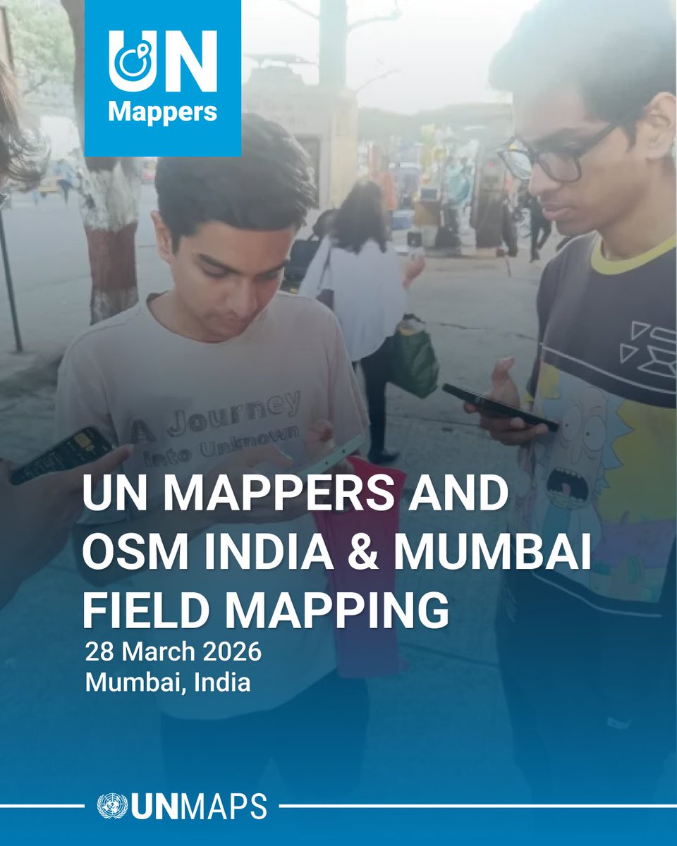
🌍Field Mapping: #UNMappers & #OSMIndia/Mumbai 🇮🇳
The exercise highlights how urban expansion is rapidly transforming peripheral regions. By mapping these areas, we contribute to better planning, improved accessibility, and stronger data for decision-making.
#OpenStreetMap#Geo
Transparency and Trust in Collaborative Mapping: Concerns and Dilemmas in AI-Assisted Road Integration within OpenStreetMap https://t.co/8RXnBpiFe3 #OSMScience
Any place on Earth can become a 3D city panorama.
This is downtown Copenhagen🇩🇰, rendered from OpenStreetMap data in 4K in under a minute with forge3d in Python.
👉 https://t.co/Y8AwdCGZ4l
A deep dive into #OpenStreetMap research since its inception (2008–2024): contributors, topics, and future trends https://t.co/TeTNLyMtdV #osmscience#osms
Estimating road speed classes: Integrating OpenStreetMap and Street View imagery for missing data imputation https://t.co/radnFnyABu #openstreetmap#osmscience#osms
Semantically enriching personal mobility data using OpenStreetMap: a case study using smartphone users’ frequently visited places https://t.co/R56t1ibe32 #osmscience#openstreetmap#osms
The spatiotemporal influence of socioeconomic factors on the number of OpenStreetMap contributors in China https://t.co/50NG7WbnRO #osmscience#openstreetmap#osms
A QGIS-based approach of developing gridded population data for the Kathmandu Valley using OpenStreetMap building data https://t.co/GYCr307LFp #osmscience#osms#openstreetmap
Can OpenStreetMap map Brazil's school transport network? An analysis based on existing rural and urban routes https://t.co/Ppqhk9CNOC #osmscience#OpenStreetMap#osms
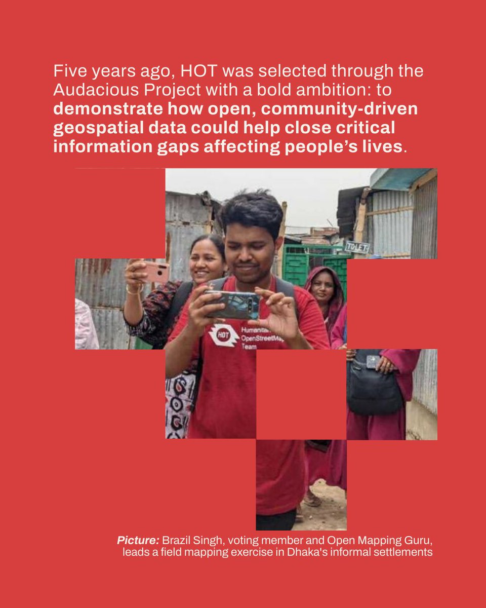
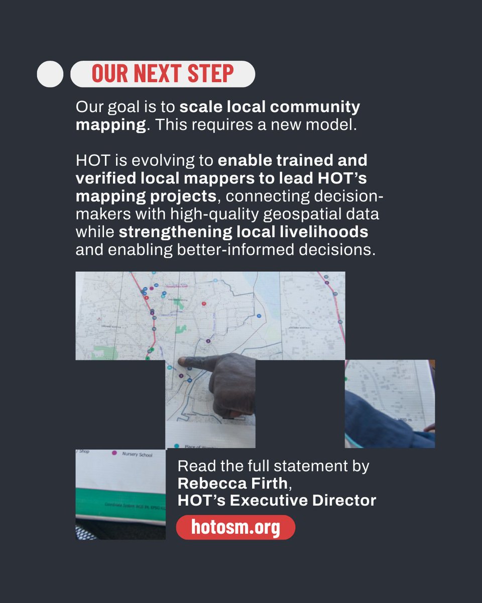
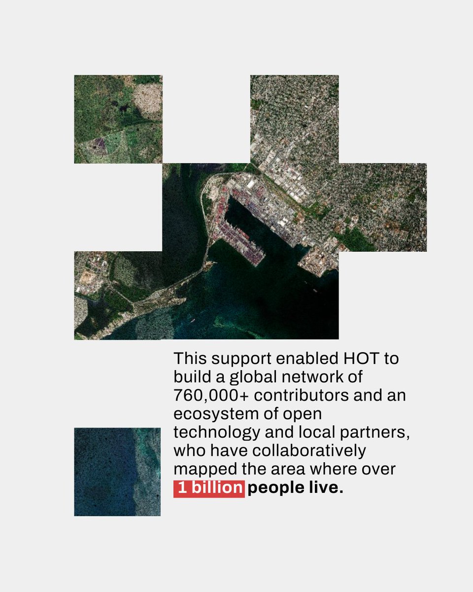
With 760K+ mappers & a strong ecosystem of open tech, community leadership & partners, we’ve mapped areas where 1B+ people live. Now we’re scaling locally-led mapping, enabling trained mappers to deliver quality geospatial data & improve livelihoods.