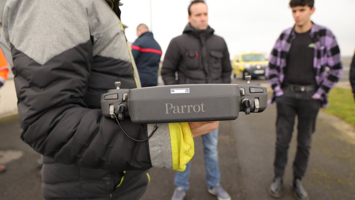
Aujourd'hui, le #SDIS08 a eu le plaisir d'accueillir la société @Parrot. Nous avons assisté à des démonstrations de drones dernières générations, sur #Aérodrome#ÉtienneRiché de @ardennescd08, site d'entraînement de l'équipe de télépilotes #ATLAS08.
Lennokkisuorituskyvyn rakentaminen etenee koulutuslentolaitteiden hankinnalla. Koulutus henkilökunnalle ja varusmiehille alkaa tänä vuonna. Lue lisää: https://t.co/WIhdhDaIr4 #maavoimat
Kuva: Parrot
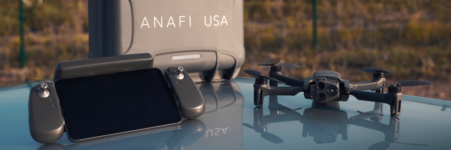
In accordance to the new FAA Remote Identification (remote ID) requirements, the ANAFI USA and the ANAFI Ai are now fully compliant, thanks to an update to firmware + FreeFlight 6 & 7.
#faa#anafiusa#anafiai#freeflight#remoteID#astm#safety#security
On Monday December 13th at 12pm EST, @CreusMoreira – @WISeKey founder and CEO – and Victor Vuillard – @Parrot Chief Security Officer – will explain how they combined their expertises to apply IoT security to a key asset of tomorrow's industry. https://t.co/NCXh8Eub7h
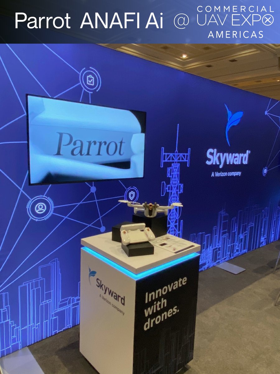
Ready to learn more about ANAFI Ai and how it’s enabling next generation drone operations? Join us in a fireside chat with @SkywardIO, A Verizon company, coming up tomorrow! https://t.co/yMmg5GByze
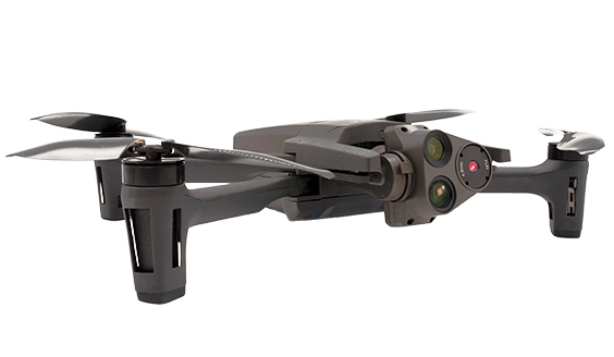
ANAFI Ai's 4G connectivity ensures stable video feedback during high voltage power line inspections.
Its x6 zoom allows professionals to capture 1 cm details from a distance of 75 m (240 ft), avoiding safely any electric arcs.
#ANAFIAi#ADroneYouCanTrust#RoboticDrone#4G
You can hand launch ANAFI Ai and land it in your hand.
ANAFI Ai uses a neural network and a depth map to detect your hand and its orientation.
It adapts its trajectory to land safely in your hand.
#ANAFIAi#ADroneYouCanTrust#RoboticDrone
Vehicle Flight Mission allows ANAFI Ai to fly relative to a vehicle's position. The user can over-pilote the position and control freely the camera's orientation. This mission also allows to take off and land on a moving vehicle. Can be used as a control tower over your car/boat.
While competitors need 6 cameras to avoid obstacles, ANAFI Ai only uses 2.
ANAFI Ai generates a 360° occupancy grid and avoids obstacles in any flight direction.
Yellow= user’s inputs
Red= trajectory corrected by the obstacle avoidance algorithms
Blue= real drone trajectory
We are really excited to be working with @Parrot on integrating their drone technology into the SmartFacility.
Drone technology is a game changing capability for tactical commanders and we are thrilled to be at the front of it.
#Parrot#mUAS#drones
https://t.co/MhPBm4134B
3D mapping the breathtaking island of Mont Saint-Michel with ANAFI Ai.
The holy island and its bay are now on the UNESCO list of World Heritage Sites.
12 flights and 6,000 photos were necessary to achieve this 3D model.
#ANAFIAi#ADroneYouCanTrust#RoboticDrone#Photogrammetry
3D house modeling in 1 click with ANAFI Ai
All it takes to map a building is a single click on the land registry.
More information on this produced house 3D model:
- 630 photos
- 12-minute
- 3D textured mesh processed in 2 hours and a half
#ANAFIAi#ADroneYouCanTrust
We cannot wait to showcase our groundbreaking 4G robotic UAV, Parrot ANAFI Ai, at @ExpoUAV next week, together with our partner @SkywardIO.
Las Vegas on September 7th-9th.
#ANAFIAi#ADroneYouCanTrust#expouav