Have multiple #landcover maps of same or overlapping area? We combine #forest & #agriculture sector #maps using error matrices & semantic affinity scores.
Li et al. Land cover harmonization using Latent Dirichlet Allocation. #Landsat#landuse#Bayesian
🔗https://t.co/Xp2WxrTVtt
The best-available-pixel (BAP) tool you have been waiting for! Implemented on #GoogleEarthEngine (#GEE). #Landsat
In #GEEBAP can tune composite parameters, create a #timeseries, set area of interest, AND download surface reflectance outcomes!
Try it out:
https://t.co/Aar8Johr43
Time series tree species maps for Canada’s forested ecosystems from 1984 to 2022 at 30 m spatial resolution using #Landsat imagery, topographic and climate data, and cal/val data from Canada’s NFI.
37 species, 39 years, 650 Mha!
Paper: https://t.co/bDHUa3CgCo
#opendata & info⬇️📜
Our multidecadal annual time series of dominant tree species layers for Canada are now available on the #GEE Community Catalog! 🛰️🌲🌳🗺️🇨🇦
Explore the data here:🔗https://t.co/AVCMOaoqU8
Read more about our work: 📰https://t.co/bDHUa3BIMQ
Spatial resolution of source imagery has an impact on detail of mapped features. Big pixels are known to lead to an overestimation in #wildfire burned area estimates.
We revisit the unprecedented 2023 fire season & investigate area burned, #landcover classes implicated, & #biomass impacted. #Landsat #Sentinel2
Paper: @flav_pelletier Revisiting the 2023 wildfire season in Canada. https://t.co/erHaMtAzP4
Data: https://t.co/NTCqkEL4uN
Our group is hiring a Research Technologist to contribute to lab and greenhouse activities for a diversity of tree genomics and conservation projects. Feel free to email to find out more! Great opportunity for BS or MSc! #ConservationGenetics https://t.co/18KfNOBquv
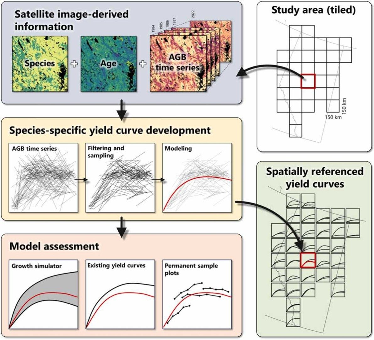
🆕.@PiotrTompalski et al. Developing aboveground biomass yield curves for dominant boreal tree species from time series remote sensing data. 📏⏱️🌲
➡️Models informed by annual biomass values, tree species, and age.
#Landsat#carbon#NTEMS#OpenAccess
🔗https://t.co/El5vtnMM3b
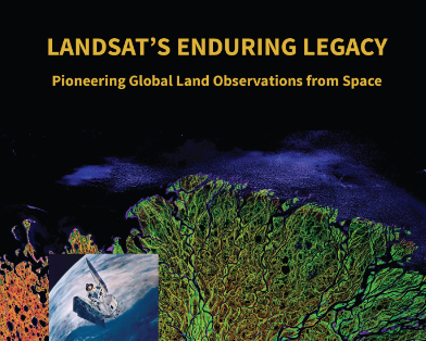
Need a remote sensing text book that is free AND full of useful historic and up-to-date information? 🛰️
Info on what was done, why, & how.
Ideal way to learn about #satellite#remotesensing.
🆓#OpenAccess digital version of #Landsat’s Enduring Legacy here: https://t.co/Plh5HHeMlj
NEW PAPER 📢
Mapping vegetation height & identifying the northern forest limit across Canada using #ICESat-2, #Landsat time series & topographic data 🛰️
🔓#OpenAccess: https://t.co/d8j1rjyps6
✍️ Travers-Smith, Coops, Mulverhill et al
🙏 @NSERC_CRSNG@UBC
Highlights in 🧵
📢New paper! Metsaranta et al.: Climate sensitive growth and yield models in Canadian forestry: Challenges and opportunities
https://t.co/2GxXB0HlvI
#forest#growth#OpenAccess @cwfc_ccfb @CFS_CAT
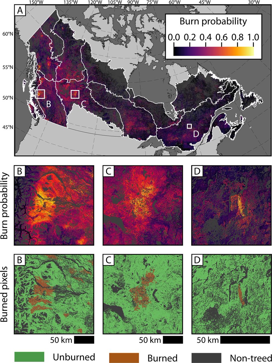
Where & how much #wildfire can be expected?🌲🔥
We use #timeseries#Landsat, #climate, biotic & topographic predictors to model.
Mulverhill et al. Multidecadal mapping of status and trends in annual burn probability over Canada’s forested ecosystems.
🔗https://t.co/m0YFIbeVJ5
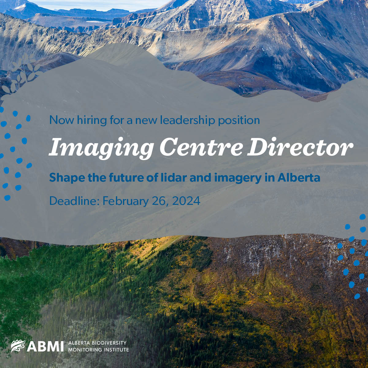
Do you want to be a leader in lidar? Join the ABMI as the Imaging Centre #Director and lead an experienced team of technicians and programmers in shaping the future of #lidar and #imagery data in #Alberta:https://t.co/4QaeFmiZaS
Deadline is February 26, 2024
#AI#machinelearning
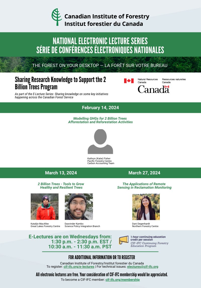
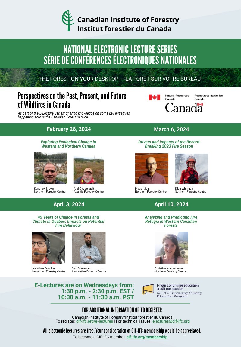
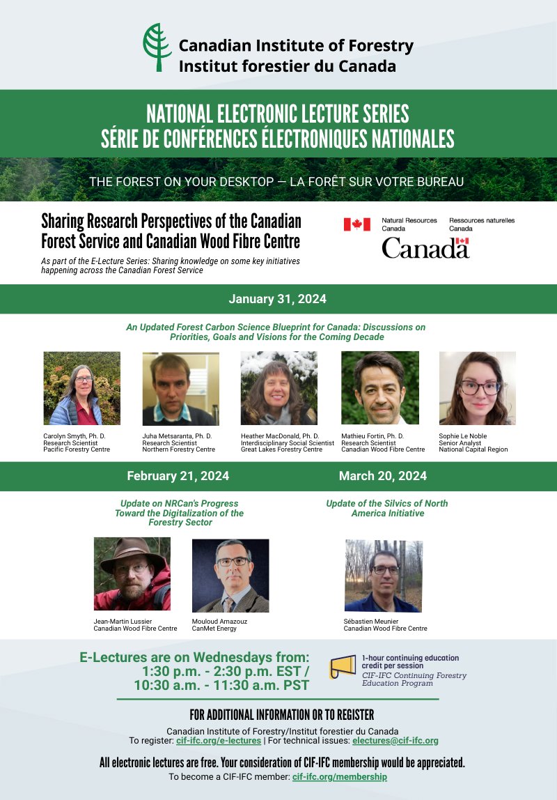
NEW E-Lecture Series "Sharing knowledge on some key initiatives happening across the Canadian Forest Service" starting on January 31st 🌲🖥️ Hosted in collaboration with @NRCan, this 10-lecture series will be presented across three themes. Register now! 👉 https://t.co/iVEYyLsK3t
Canada's new satellite-based forest inventory (#SBFI) uses image segmentation to create detailed, stand-level maps for forest science & monitoring, including tree species and biomass, available via open access. #Landsat
Paper: https://t.co/wuTiwDZ1VT
Data: https://t.co/W64X4OTOdu