Are you interested in Geospatial Artificial intelligence want to further your knowledge and become Analyst. Opportunity to enroll in getting practical skills
#SANAP@NRF_News @dsigovza @HigherEduGovZA@apecssa@environmentza
@OlemuOchuko Gaining knowledge of AI PROMPT ENGINEERING IS ALL THAT IS NEEDED. Thanks to the Geospatial Artificial Intelligence Analyst Course. All the coding is mastered easily https://t.co/Fp5kucwRqB
Start the month with a bang, enhance your skillsets for more career success.
Register for this AI+GIS Course now
Link
https://t.co/oI5k29ziNe
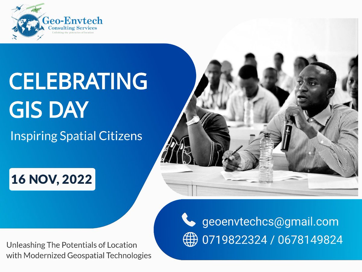
#NexusGISProfessionals
Did you know our free, online textbook https://t.co/byJxnXTvn1 has over 300 lessons? Get started learning R or #python, refresh or sharpen your skills, and work with data at https://t.co/byJxnXTvn1 #earthdatascience#coding
A really cool summary on how to use colors in #datavisualizations created by the team Warsaw University of Technology 𝘍𝘢𝘤𝘶𝘭𝘵𝘺 𝘰𝘧 𝘔𝘢𝘵𝘩𝘦𝘮𝘢𝘵𝘪𝘤𝘴 𝘢𝘯𝘥 𝘐𝘯𝘧𝘰𝘳𝘮𝘢𝘵𝘪𝘰𝘯 - Mateusz Kryzinsky, Pawel Wojciechowski, and Artur Zotkowski
#data#datavisualization
@MandiaLeonard@Geotetanzania@SokoineU@youthmappers Well i don’t know what was the purpose of the map but I think if you include other geographic features like roads and ward administration boundaries it could’ve been fantastic