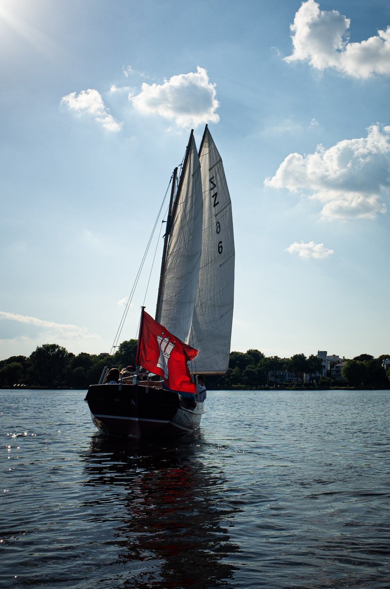
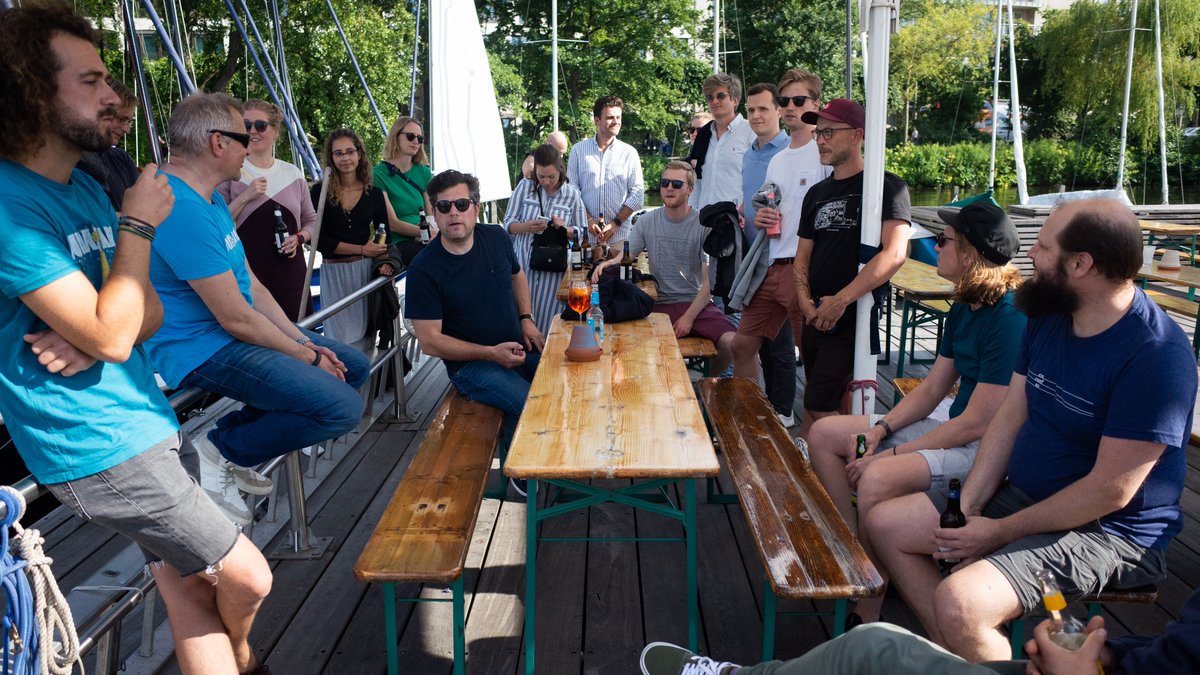
Summer, sun & sailing! With the Alster lake only 10 minutes from our office, it was almost inevitable that we would end up on a boat someday... So as part of our quarterly #ubiweek, some colleagues organized a great #sailing trip for the team! The end of work well spent 😎
@A_Tack @cartocalypse @Mixed_Pixels @kurtschwehr@ubilabs@aemkei Terrestrial AIS (what AIS hub does) only works for line-of-sight collection (roughly). You would need a provider that offers satellite collected AIS data. This data is heavily commercialised. Most major platforms offer this.
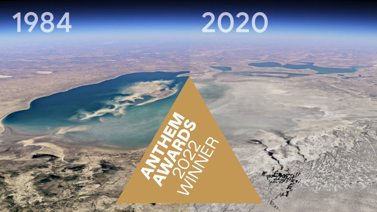
Our project "timelapse" for @googleearth has been honored as a gold medal winner in two categories at the @anthemawards 🥇🙌 The awards remark best in class examples of the work leading the way in the Impact Industry. We are thrilled to be among them! https://t.co/XROM7yXHIc
We have a feeling that there are a lot of Christmas wishes this year. We wanna make sure your wish reaches Santa in time, so we built this little wish tracker for you! Simply send your wish and follow its route to Santa. This way no wish gets lost🎅
https://t.co/aY7hxdgFpd
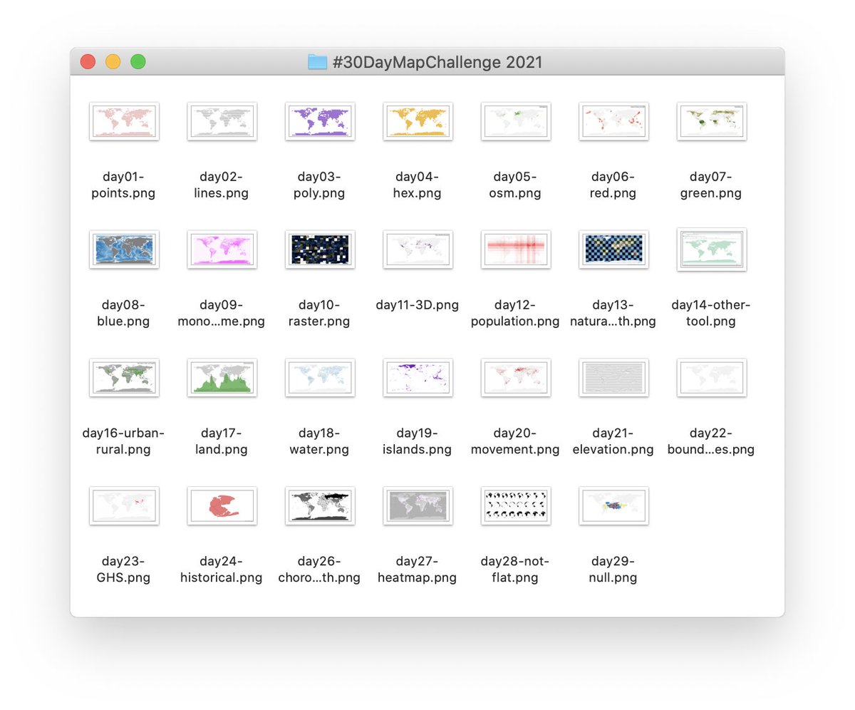
After 30 days and more than 120 map creations, our colleagues can safely say they completed Topi's #30daymapchallenge! 🙌 Check out their amazing maps on our blog:
https://t.co/fCIjsO4EGH
And we are done! It's a wrap.
Every day had an individual challenge and exposed me to some new aspects of QGIS. I learned so much these past weeks, goal accomplished!
@tjukanov thanks a lot for the ride
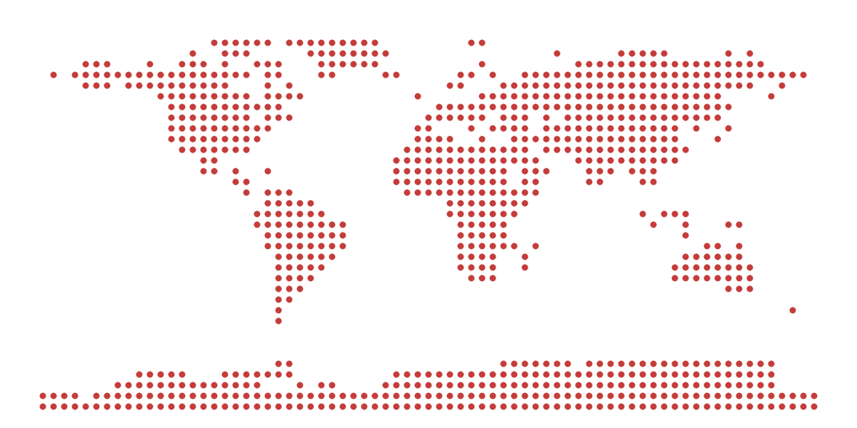
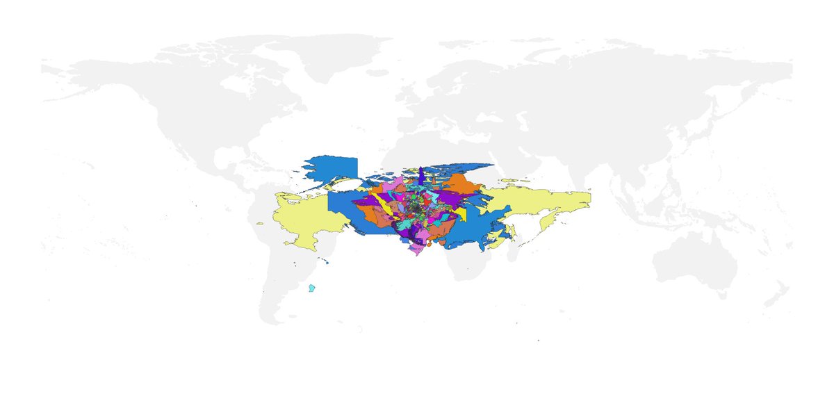
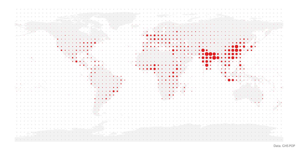
Day 30 of #30DayMapChallenge: meta mapping
@CoulSim Ah! Thanks for the tip, yes that makes a big difference. Actually, that was bugging me the whole time but i couldn't pin it down (it was late).
Learning: keep it simple and limit the variance to one dimension